Okres Batticaloa
Okresy Srí Lanky
-
 Okres Ampara
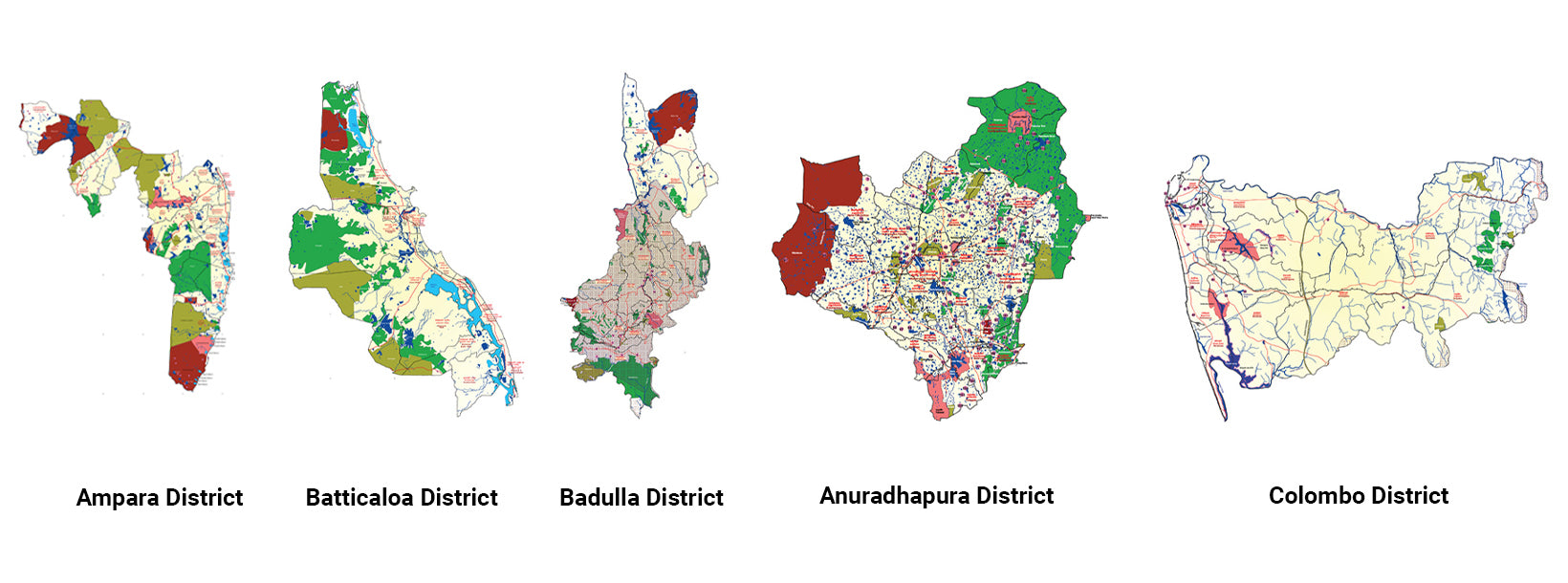
Ampara, oblast bohatá na zemědělství, nabízí nedotčené pláže, historická buddhistická místa a rozmanitou kulturní krajinu.
-
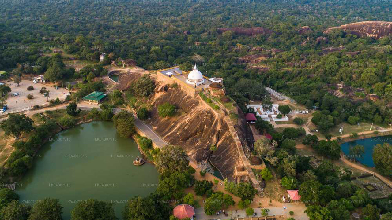
 Okres Anuradhapura
Anuradhapura, jedno ze starobylých hlavních měst, je zapsáno na seznamu světového dědictví UNESCO a je bohaté na historické buddhistické památky a chrámy.
-
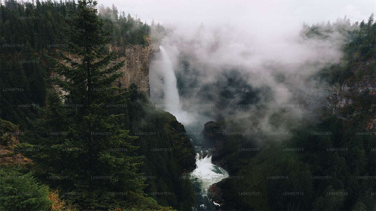
 Okres Badulla
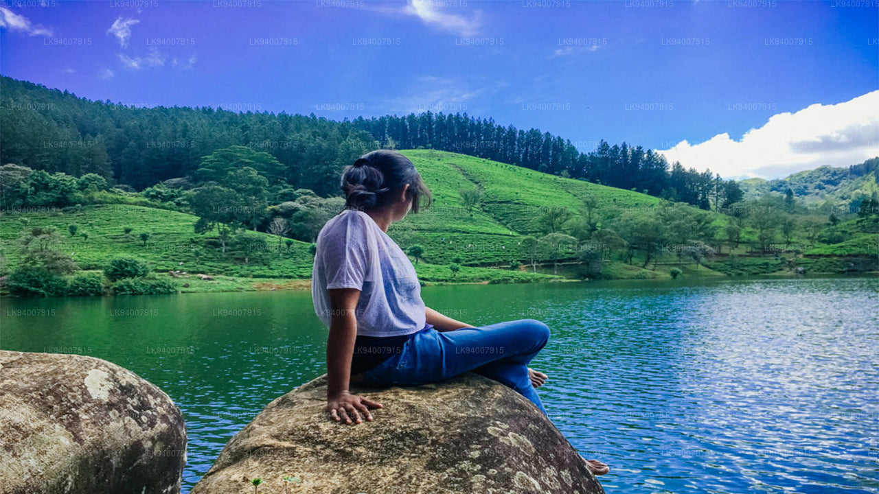
Badulla je malebná čtvrť obklopená horami, čajovými plantážemi a úchvatnými vodopády, která nabízí klidné útočiště.
-
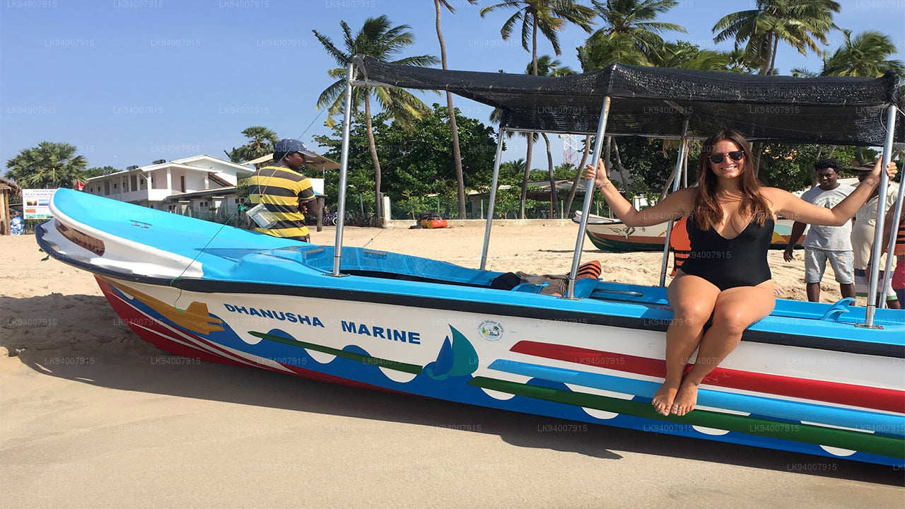
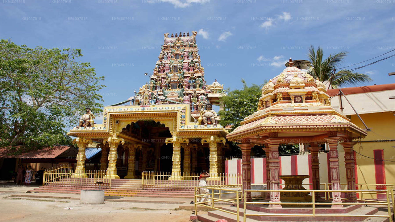
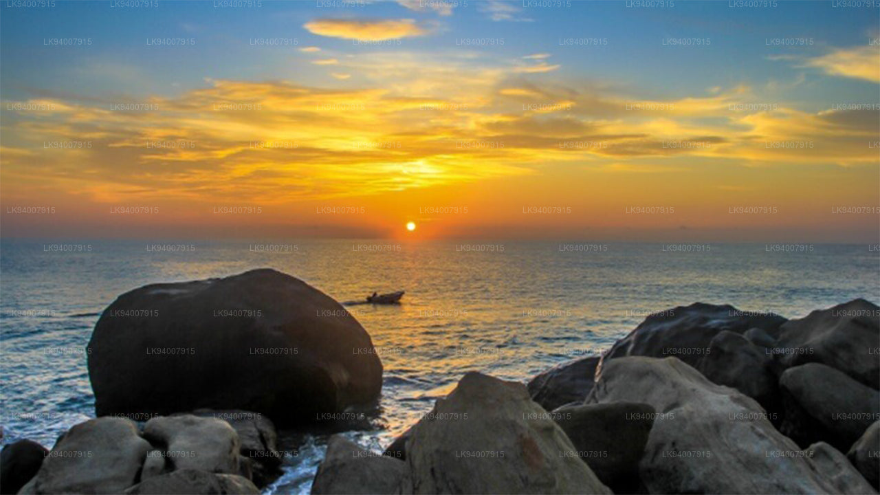 Okres Batticaloa
Batticaloa, známá svými lagunami a plážemi, je klidná čtvrť s bohatou směsicí tamilské a muslimské kultury.
-
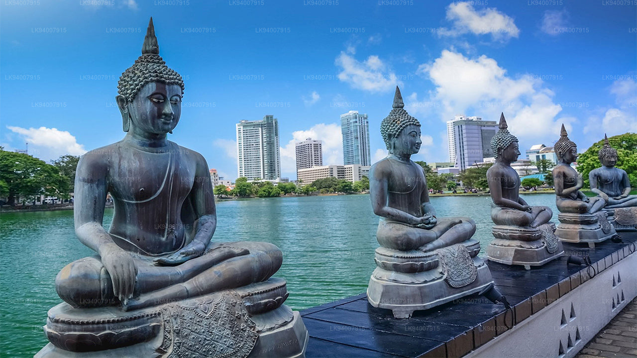 Okres Kolombo
Kolombo, rušné obchodní centrum Srí Lanky, je pulzující metropole známá svou městskou krajinou, koloniální architekturou a krásou pobřeží.
-
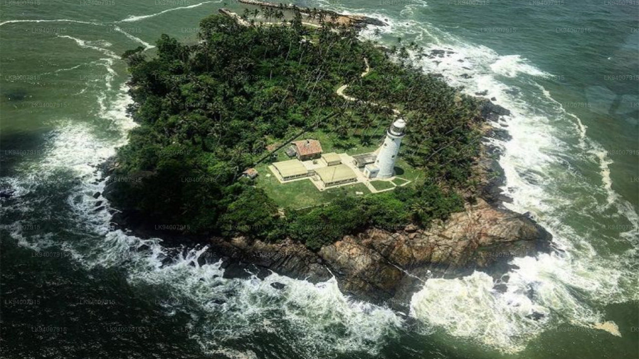
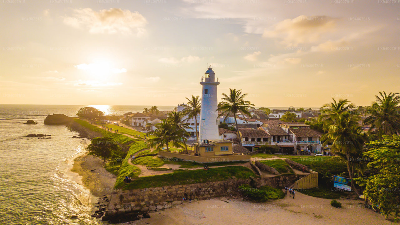 Okres Galle
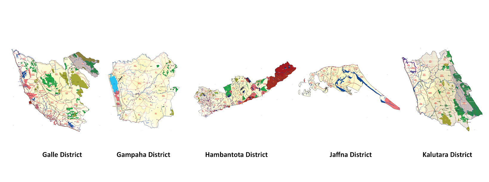
Historická pobřežní čtvrť Galle je známá svou holandskou pevností zapsanou na seznamu UNESCO, nedotčenými plážemi a bohatou koloniální historií.
-
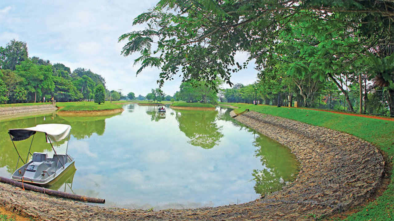 Okres Gampaha
Gampaha, čtvrť, která prolíná městský a venkovský život, je domovem letiště Katunayake a malebných pláží.
-
 Okres Hambantota
Hambantota, známá svými parky divoké zvěře, včetně Yala a Bundala, je rostoucím centrem rozvoje a ekoturistiky.
-
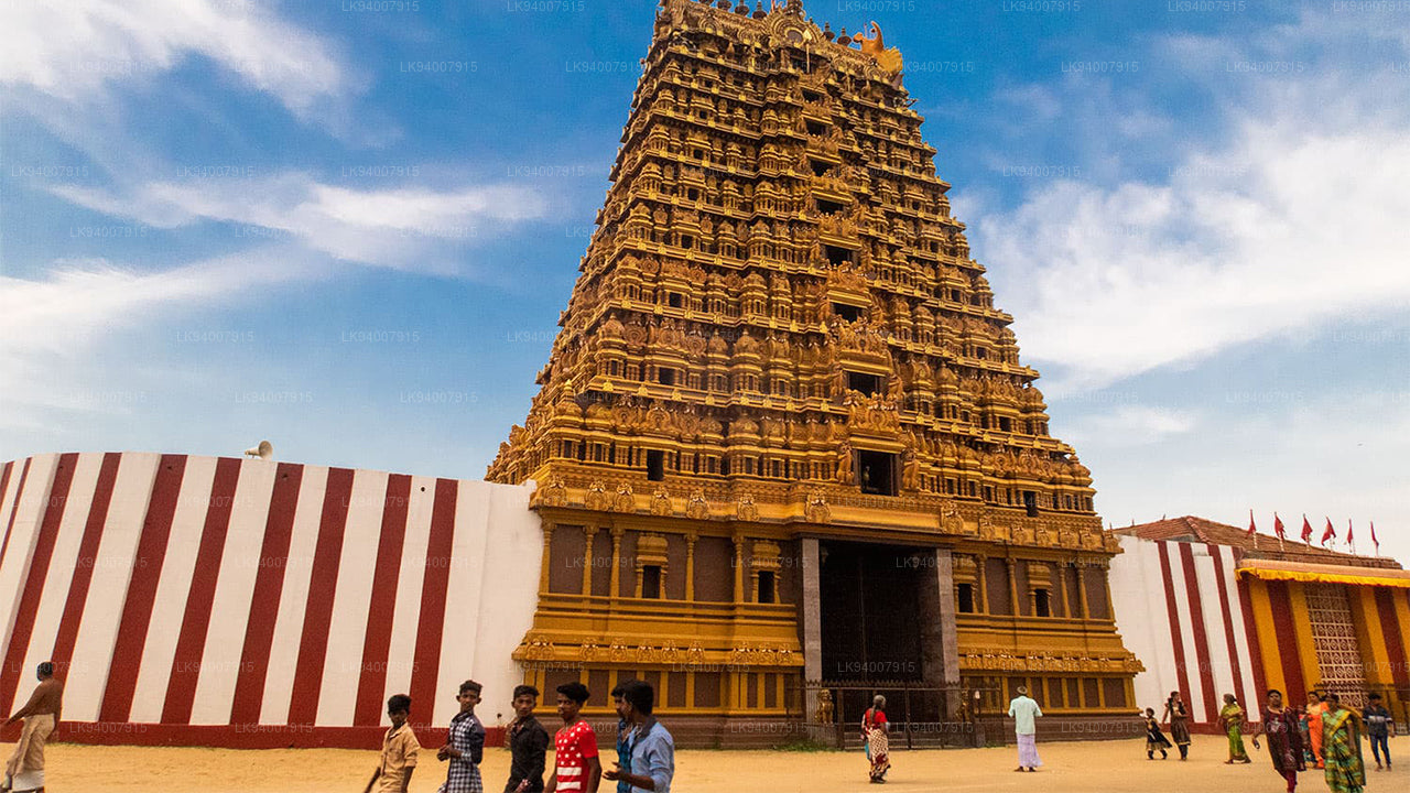 Okres Jaffna
Džafna, kulturní centrum tamilského dědictví, je známá svými historickými chrámy, pulzující kulturou a bohatou historií.
-
 Okres Kalutara
Kalutara, známá pro své historické Kalutara Bodhiya a krásné pláže, nabízí pobřežní kouzlo a náboženský význam.
-
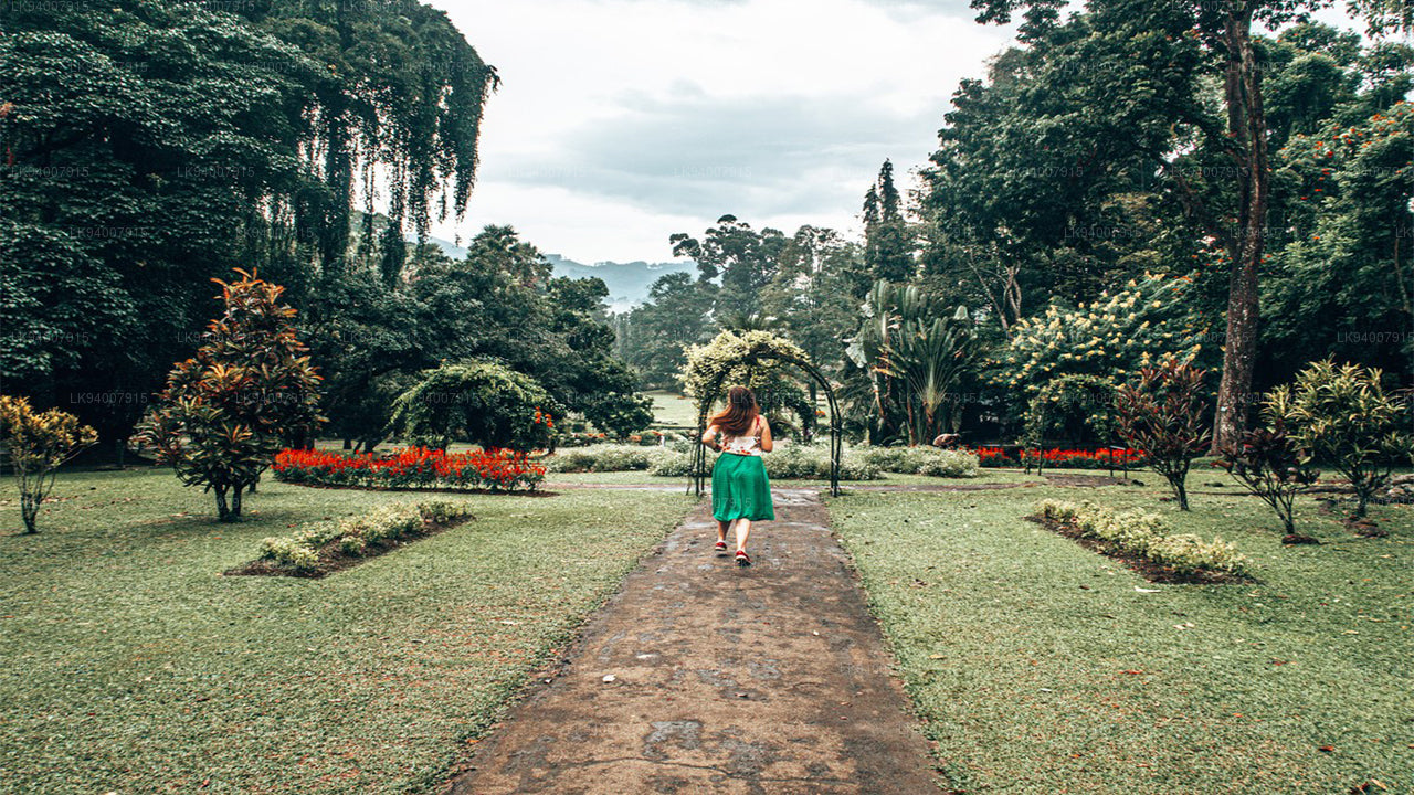 Okres Kandy
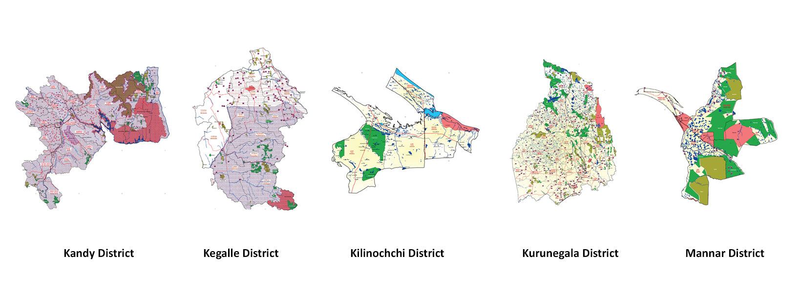
Kandy, známé svým Chrámem Buddhova zubu a úchvatným jezerem, je kulturním srdcem Srí Lanky a je zapsáno na seznamu světového dědictví UNESCO.
-
 Okres Kegalle
Kegalle je známé svými kaučukovníkovými plantážemi a sloním sirotčincem Pinnawala, oblíbenou turistickou atrakcí.
-
 Okres Kilinochchi
Kilinochchi, převážně zemědělská oblast, zaznamenala rychlý poválečný rozvoj a je domovem četných vodních zdrojů.
-
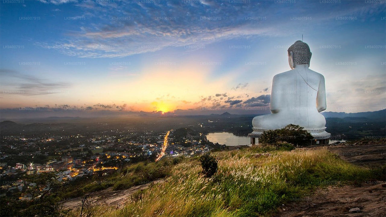 Okres Kurunegala
Kurunegala, známá svou sloní skálou, je zemědělské centrum obklopené historickými ruinami a náboženskými památkami.
-
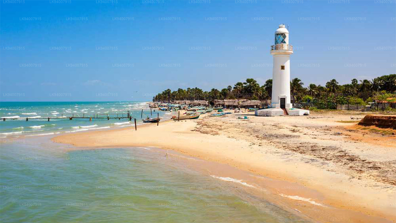 Okres Mannar
Tato čtvrť, známá svou jedinečnou krajinou, lovem perel a historickou pevností Mannar, má bohatou námořní historii.
-
 Okres Matale
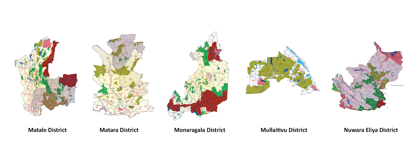
Matale, čtvrť plná kořeninových plantáží, vodopádů a historických chrámů, nabízí malebnou přírodní krásu.
-
 Okres Matara
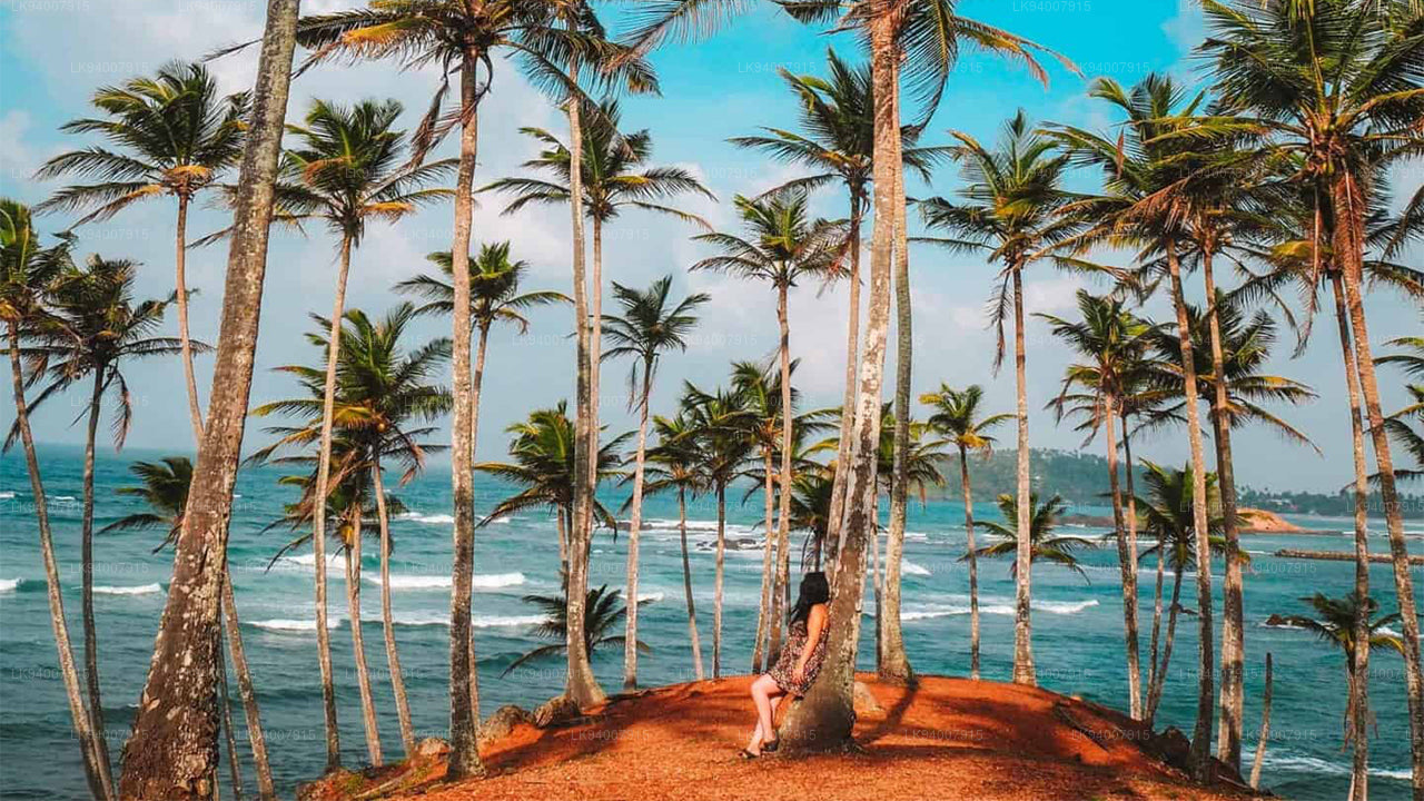
Matara se pyšní úžasnými plážemi, majákem Dondra Head a směsicí pobřežních a kulturních atrakcí.
-
 Okres Monaragala
Monaragala, známá svou drsnou krajinou a bohatou biodiverzitou, je zemědělská oblast s rozsáhlou přírodní krásou.
-
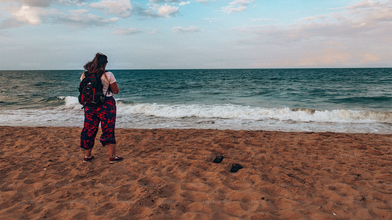
 Okres Mullaitivu
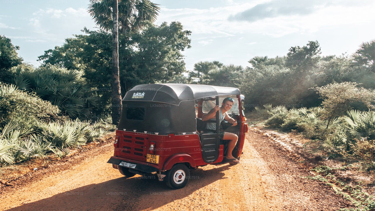
Mullaitivu, převážně venkovská a pobřežní čtvrť, je známá svými plážemi a významnou historií během občanského konfliktu.
-
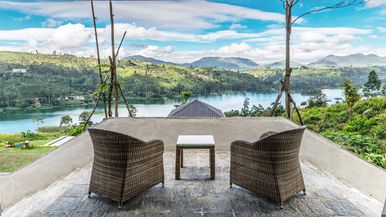
 Okres Nuwara Eliya
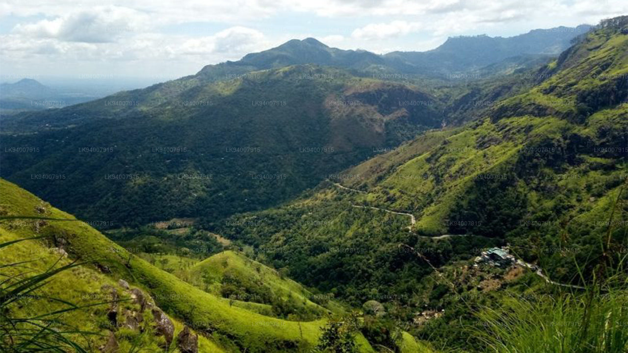
Nuwara Eliya, často nazývaná „Malá Anglie“, je proslulá svým chladným podnebím, čajovými plantážemi a koloniální architekturou.
-
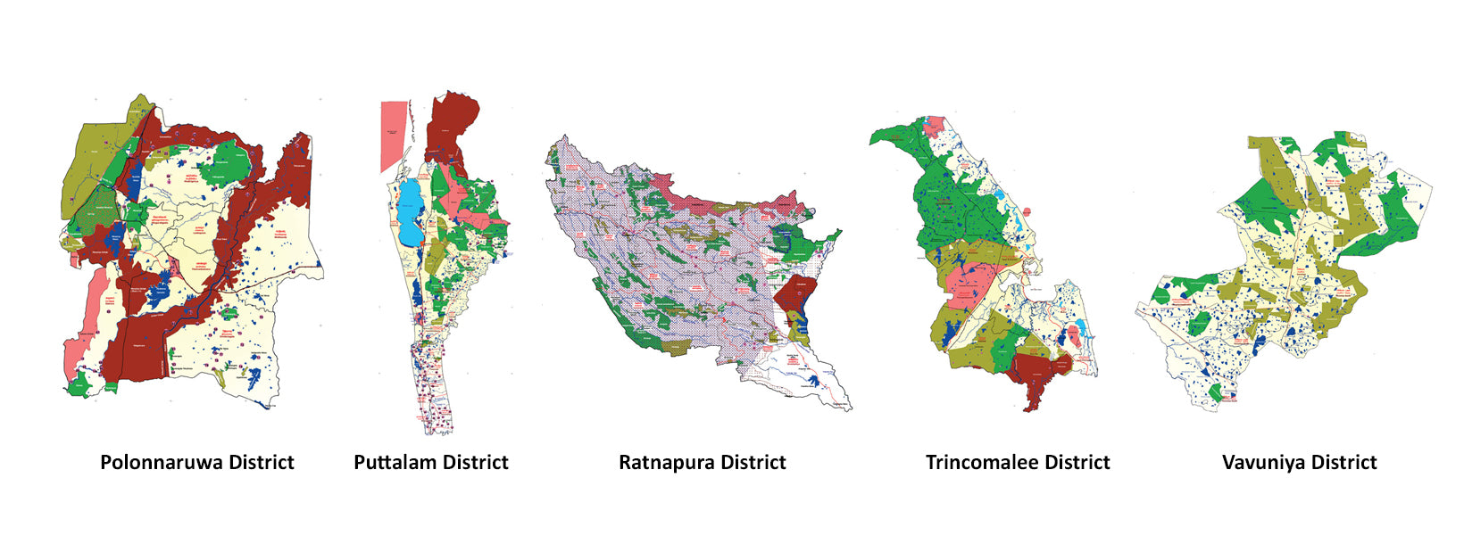
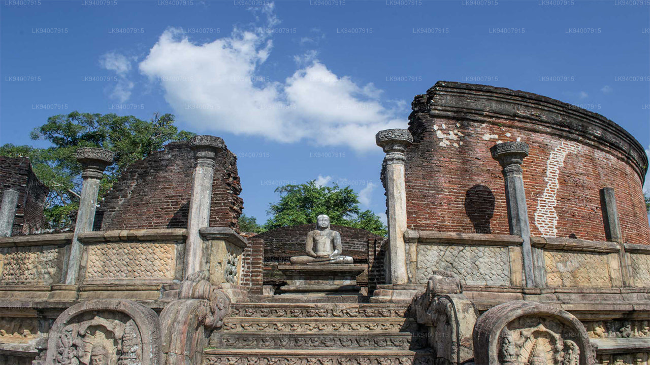 Okres Polonnaruwa
Polonnaruwa je pokladnicí starověkých ruin, včetně slavné Gal Vihara, a klíčovým archeologickým nalezištěm.
-
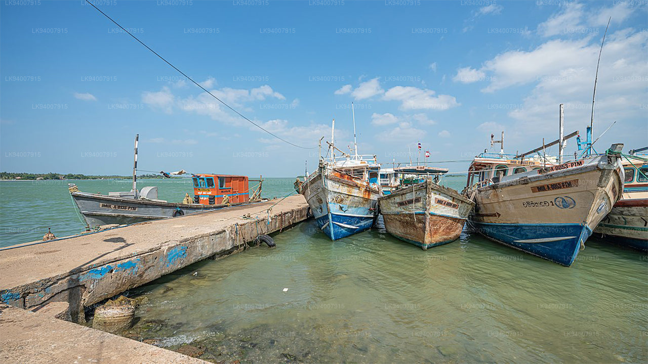 Okres Puttalam
Puttalam je známý svými pobřežními lagunami, přírodními rezervacemi a produkcí soli, spolu s rostoucím sektorem větrné energie.
-
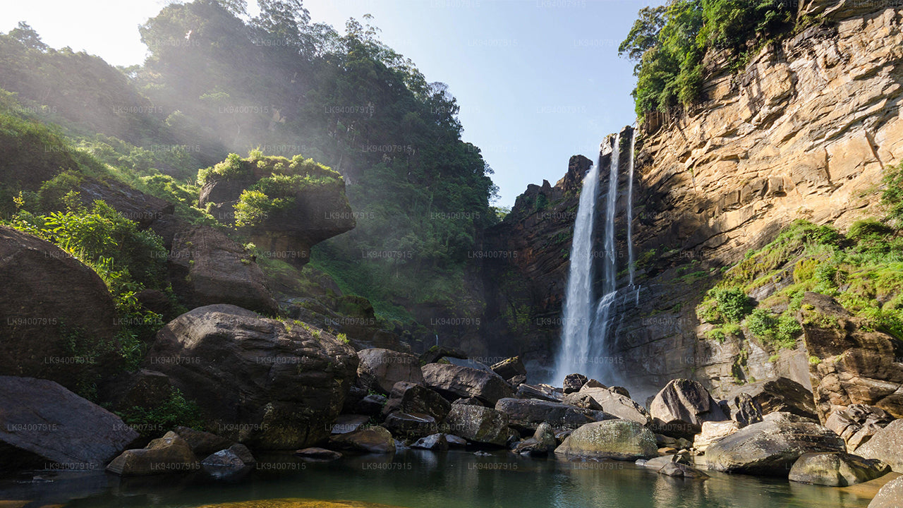 Okres Ratnapura
Ratnapura, „město drahokamů“, je známá těžbou drahokamů a svěží zelenou krajinou plnou vodopádů a čajových plantáží.
-
 Okres Trincomalee
Trincomalee, pobřežní klenot, je domovem krásných pláží, historických hinduistických chrámů a jednoho z nejkrásnějších přírodních přístavů na světě.
-
 Okres Vavuniya
Vavuniya, klíčový dopravní uzel mezi severem a jihem, je známá svým zemědělstvím a rostoucí urbanizací.