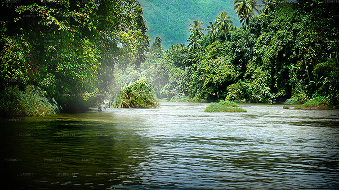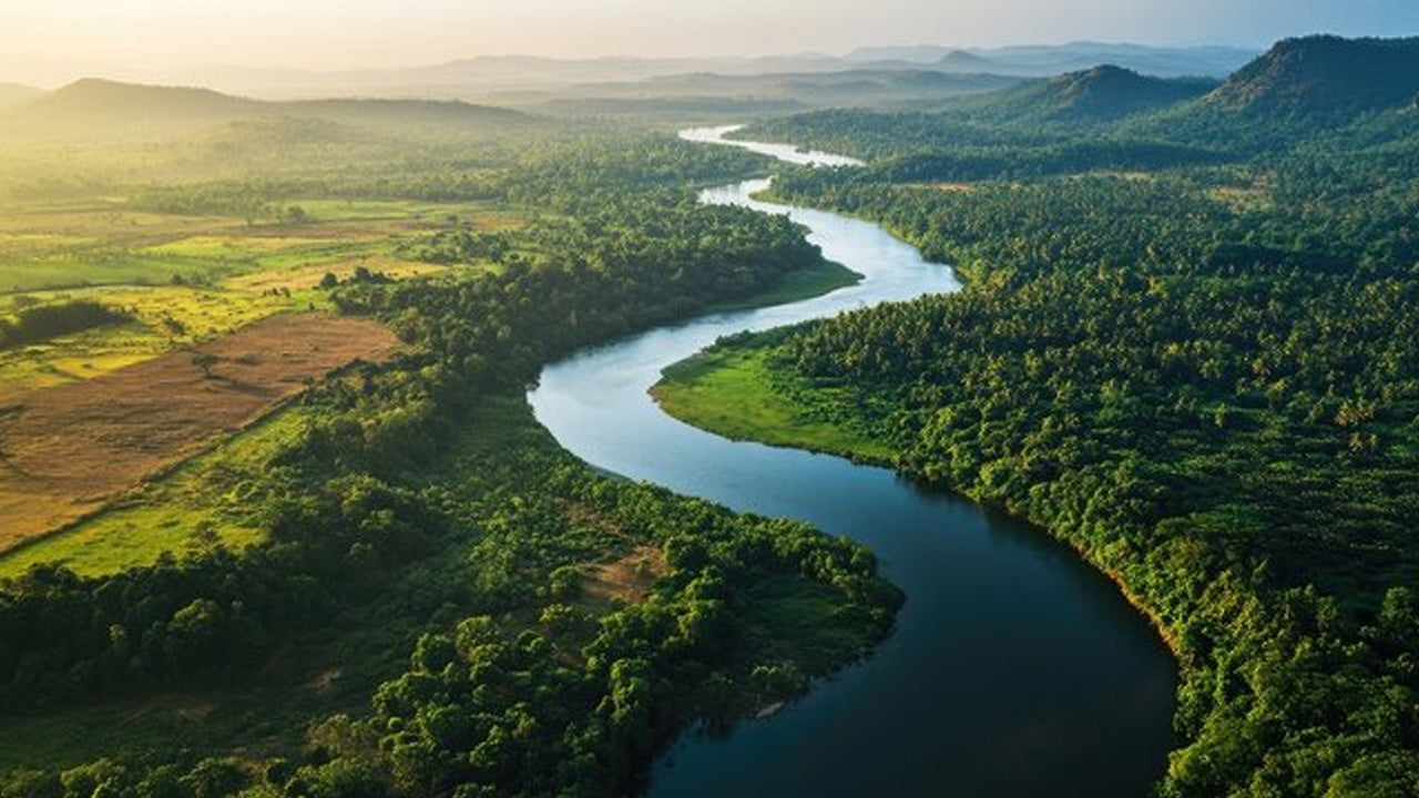
Sri Lanka's rivers are among the island's most defining natural features. Born in the mist-covered central highlands, they descend through steep gorges, cascade over rocky escarpments as waterfalls, and eventually spread into gentle flood plains before emptying into the sea. Across this journey, they sustain agriculture, generate hydropower, support extraordinary biodiversity, and shape the daily lives of millions of people.
Where do Sri Lanka's rivers originate?
Almost all of the island's rivers begin in the central highland massif — a knot of mountains stretching across the interior, rising in places above 2,500 metres. Rainfall here is among the highest in Asia, and the terrain acts as a natural reservoir. From this core, rivers radiate outward in every direction: northeast toward the Bay of Bengal, northwest toward the Gulf of Mannar, south and southwest toward the Indian Ocean.
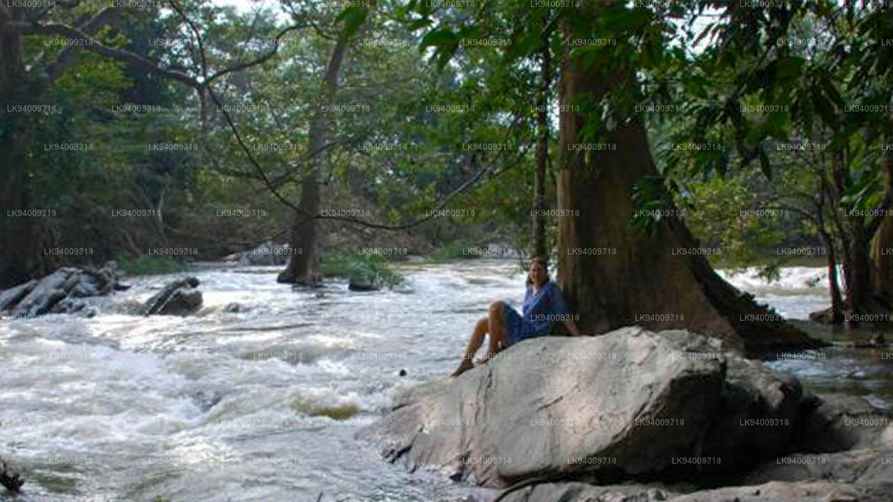
The character of a river changes dramatically as it travels. In the highlands, channels are narrow, fast-moving, and turbulent — ideal for whitewater kayaking but largely unnavigable by boat. Lower down, gradients ease and rivers widen, meandering through paddy fields and coconut groves before reaching the coast.
What are the major rivers of Sri Lanka?
Sri Lanka has around 103 recorded rivers. Most are relatively short, but a handful are significant in length, flow volume, or cultural importance.
| River | Length (approx.) | Drains into | Province(s) |
|---|---|---|---|
| Mahaweli Ganga | 330 km | Bay of Bengal (Trincomalee) | Central, North Central, Eastern |
| Aravi Aru (Malvathu Oya) | ~220 km | Gulf of Mannar | North Central, Northern |
| Kelani Ganga | ~145 km | Indian Ocean (Colombo) | Sabaragamuwa, Western |
| Kalu Ganga | ~129 km | Indian Ocean (Kalutara) | Sabaragamuwa, Western |
| Gin Ganga | ~113 km | Indian Ocean (Galle district) | Southern |
| Madu Ganga | ~15 km navigable estuary | Indian Ocean (Balapitiya) | Southern |
What is special about the Mahaweli Ganga?
The Mahaweli is Sri Lanka's longest river at roughly 330 km. It rises in the hills near Nuwara Eliya and flows northeast, passing through the cultural heartland of the island before emptying into the Bay of Bengal near Trincomalee. Ancient kingdoms depended on the Mahaweli for irrigation, and the reservoir network built around it — supplemented in modern times by the Mahaweli Development Programme — remains the backbone of the country's agricultural water supply.
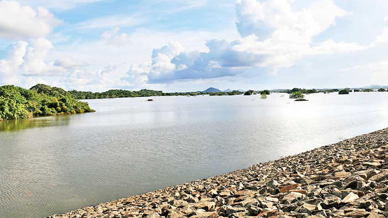
The Randenigala Dam, one of several major structures on the Mahaweli, forms a large reservoir that is also a draw for birdwatchers and visitors exploring the hill country. Downstream, the river passes close to the ruins of Polonnaruwa, the medieval capital whose prosperity was built on sophisticated irrigation fed by the river's waters.
How do rivers support wildlife in Sri Lanka?
River systems in the wet zone support some of the island's richest biodiversity. Sri Lanka's freshwater fauna includes around 90 fish species, of which approximately 26 are endemic — found nowhere else on Earth. The island also hosts at least 21 species of freshwater crabs, and ongoing taxonomic surveys suggest more undescribed species await formal identification.
Rivers and their adjacent wetlands also attract larger wildlife. Estuaries and riverbanks in the dry zone are among the best places to observe estuarine crocodiles — a crocodile watching excursion along river channels in the north and east offers encounters that few wildlife itineraries include. Elephants regularly visit rivers to drink and bathe, particularly in national parks such as Udawalawe National Park, where the Walawe Ganga forms the park's northern boundary.
What is the Madu Ganga and why do visitors go there?
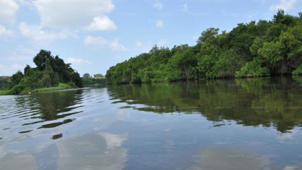
The Madu Ganga is a UNESCO-designated Ramsar wetland on the southwest coast, near Balapitiya. Unlike the long inland rivers, Madu Ganga is best known for its brackish lagoon and tidal estuary, laced with mangrove islands. A Madu River Safari by flat-bottomed boat is one of the most rewarding half-day excursions on the southwest coast, threading through tunnels of mangrove, past cinnamon gardens, fish therapy pools, and temple islands.
The estuary's mangroves serve as nurseries for marine fish and protect the coastline from erosion — their ecological role became especially apparent after the 2004 Indian Ocean tsunami, when mangrove-fringed shores experienced significantly less damage than open stretches of coast.
How have rivers shaped Sri Lankan history and culture?
No civilisation on the island has been indifferent to water. The ancient Sinhalese kingdom engineered an extraordinary network of irrigation tanks — small reservoirs — linked by canals and sluice gates to rivers across the dry north central plains. Some of these tanks were constructed more than 2,000 years ago and are still in use today, a testament to the engineering sophistication of early Sri Lankan rulers.
Rivers also defined the boundaries of kingdoms, provided natural defences for citadels, and sustained the paddy cultivation that fed populations long before modern agriculture arrived. The Dambulla Oya, flowing through the Cultural Triangle, is one river whose banks trace the edges of ancient agricultural hinterlands that visitors to the region still pass through today.
What is the difference between the wet zone and dry zone rivers?
Sri Lanka's rivers divide broadly along the island's climatic divide. The southwestern wet zone — roughly the area covered by the Sinharaja Forest Reserve and the hill country above — receives two monsoons and generates numerous perennial rivers. These support dense riverine forest, high amphibian diversity, and reliable water flow year-round.
In the dry zone, covering much of the north, east, and southeast, rivers are seasonal. Many shrink to chains of pools during the long dry season and flood dramatically when the northeast monsoon arrives between October and January. This seasonality drove the ancient tank-building tradition: storing wet-season water for release during dry months was a matter of survival for farming communities.
Are there hydropower dams on Sri Lanka's rivers?
Yes. Sri Lanka has no natural lakes of significant size, but dams on the Mahaweli, Kelani, Kalu, and other rivers have created large reservoirs that serve dual purposes: water storage for irrigation and drinking, and hydroelectric generation. The Mahaweli Development Programme, begun in the 1970s and continuing across subsequent decades, involved multiple dams and a vast canal network that redirected water across watersheds to irrigate previously arid land in the north central and eastern provinces.
These reservoirs have incidentally created new wildlife habitats. The Wilpattu National Park in the northwest, for example, features a series of natural and modified water bodies — called willus — that are directly connected to the broader hydrological network of the region.
What rivers are best for adventure activities?
The rivers that descend from Horton Plains National Park and the surrounding escarpment generate swift, rocky channels suitable for whitewater kayaking and rafting. Kitulgala, on the Kelani Ganga, is the most established base for whitewater rafting in Sri Lanka, offering grade-three rapids within a stretch of river framed by rainforest. The same area appears in film history as the location used for the river scenes in The Bridge on the River Kwai.
For a gentler experience, boat rides along the lower reaches of rivers — the Bentota Ganga, Madu Ganga, and Kaluganga estuary — offer wildlife spotting, mangrove exploration, and a quieter pace suited to all ages and fitness levels.