Western Province

The most densely populated province of Sri Lanka, the Western Province which is 3,593 km2 in extent is home to the country’s legislative capital Sri Jayewardenepura. It is also home to the country’s commercial hub, Colombo.

Almost all the premier educational institutions in the island are located in the western province. Universities in the province include the University of Colombo, the University of Sri Jayewardenepura, the University of Kelaniya, the Open University of Sri Lanka, the Sir John Kotelawala Defence University, the University of Moratuwa and the Sri Lanka Institute of Information Technology. The Western Province also has the largest amount of schools in the country.

The western province consists of three districts: Colombo, Gampaha, and Kalutara.

Colombo District is 642 km2 in area and its main city is Colombo. The other popular and important cities in the district are Dehiwala, Nugegoda, Maharagama, Homagama, Avissawella and Moratuwa. The Kotte Urban Development Council that was created in the 1930s with a modern building at Rajagiriya has been succeeded by the Kotte Urban Council, a large extent of which was removed and tagged onto the Colombo Municipal Council, ward of Borella, while the Battaramulla Urban Council was dissolved and a small extent of Battaramulla was tagged onto the Kotte Urban Council. The Kotte Urban Council turned to be the Sri Jayawardanapura Kotte Municipal Council in 1997.

Mount Lavinia is a newly created city lying immediately south of Colombo. It is the result of certain key urban suburbs and communities being combined for administrative purposes. The centres include Dehiwala and the beach resort of Mount Lavinia. It is also home to Sri Lanka’s National Zoological Gardens which remains one of the Asia’s largest. Dehiwala and Mount Lavinia lie directly south of Wellawatte along the Galle Road artery which runs alongside the coast to the south of the country. It is one of the most liberal regions in Sri Lanka and plays host to the island’s annual Rainbow Kite Festival.

Gampaha District is 1,386.6 km’ in extent and its main city is Gampaha. Other popular and important cities are Nittambuwa, Wattala, Ja-ela, Negombo and Veyangoda.

Gampaha is an urban city situated north of Colombo and separated from Colombo by the River Kelani. The name “Gampaha” in Sinhala means “Five Villages”. This city is located in the centre of the Gampaha District and is about 4 kms from Miriswatta on Colombo-Kandy Road. It is surrounded by Yakkala, Miriswatta, Weliweriya Udugampola and Ja-Ela towns.

In the recent years, Gampaha has undergone rapid development, many new shopping complexes, roads, bridges and flyovers have been constructed. Private institutions have been behind most development programmes in that area.

Another district of the western province is Kalutara which is 1,606 km’ in extent and its main city is Kalutara. The other important and popular cities in this district are Panadura, Beruwala, Aluthgama, Horana and Matugama.

Kalutara is a resort town located approximately 40 kms south of Colombo. O

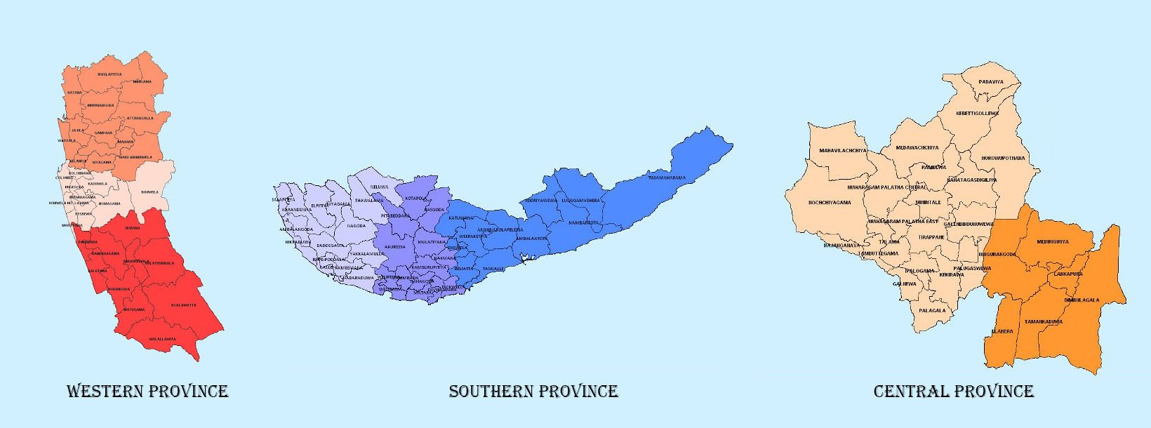
  • Den tættest befolkede provins i Sri Lanka, Western Province, som er 3.593 km2 stor, er hjemsted for landets lovgivende hovedstad Sri Jayewardenepura. Den er også hjemsted for landets kommercielle centrum, Colombo.
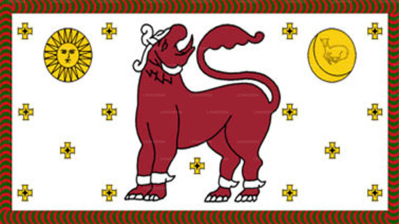
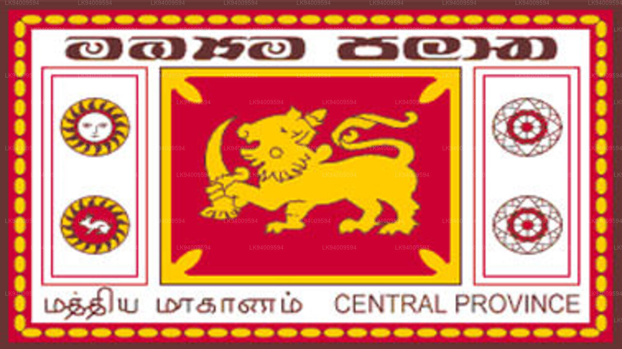
    Vestlige provins 
  • Centralprovinsen ligger i Sri Lankas centrale bakker og består af tre administrative distrikter: Kandy, Matale og Nuwara-Eliya. Provinsens landareal er 5.575 km2, hvilket er 8,6% af Sri Lankas samlede landareal.
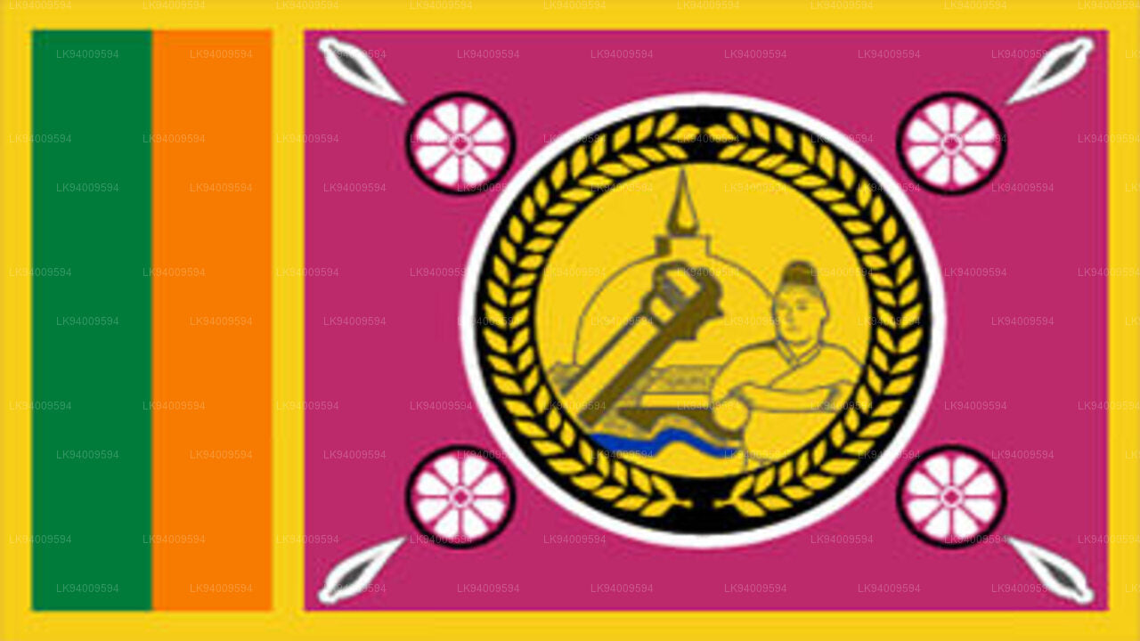
    Centralprovinsen 
  • Den sydlige provins i Sri Lanka er et lille geografisk område bestående af tre distrikter: Galle, Matara og Hambantota. Landbrug og fiskeri er de vigtigste indtægtskilder for langt de fleste mennesker i denne region.
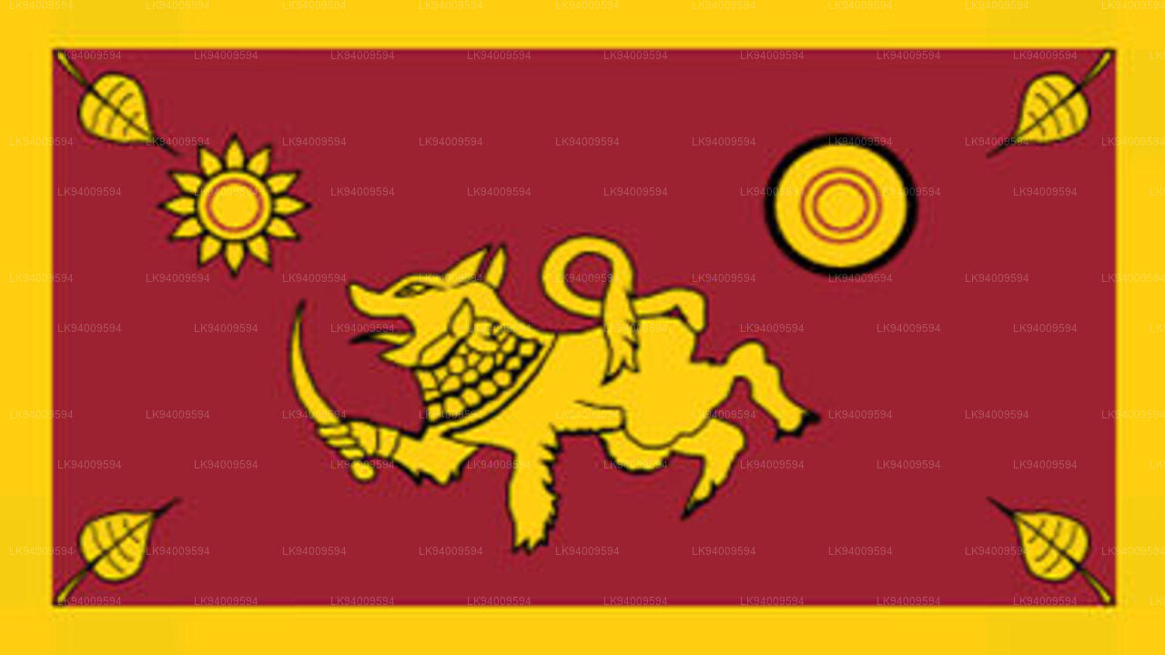
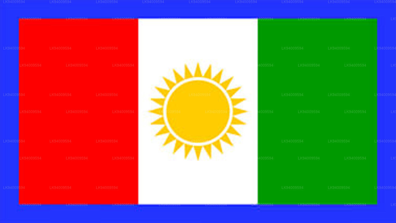
    Sydlige provins 
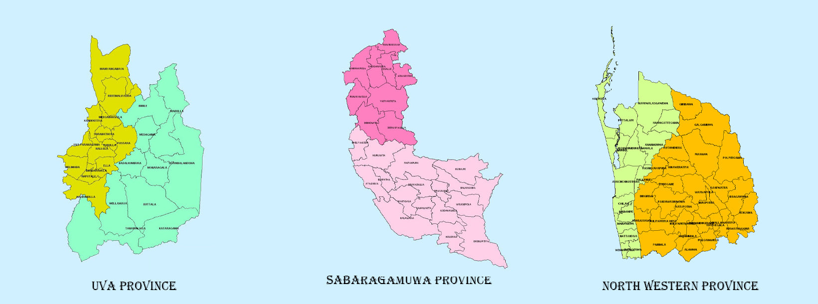
  • Uva-provinsen består af to distrikter: Badulla og Moneragala, mens provinsens hovedstad er Badulla. Uva grænser op til de østlige, sydlige og centrale provinser.

    Uva-provinsen 
  • Sabaragamuwa er endnu en provins i Sri Lanka, beliggende i den syd-centrale region af øen og består af to administrative distrikter: Ratnapura og Kegalle.

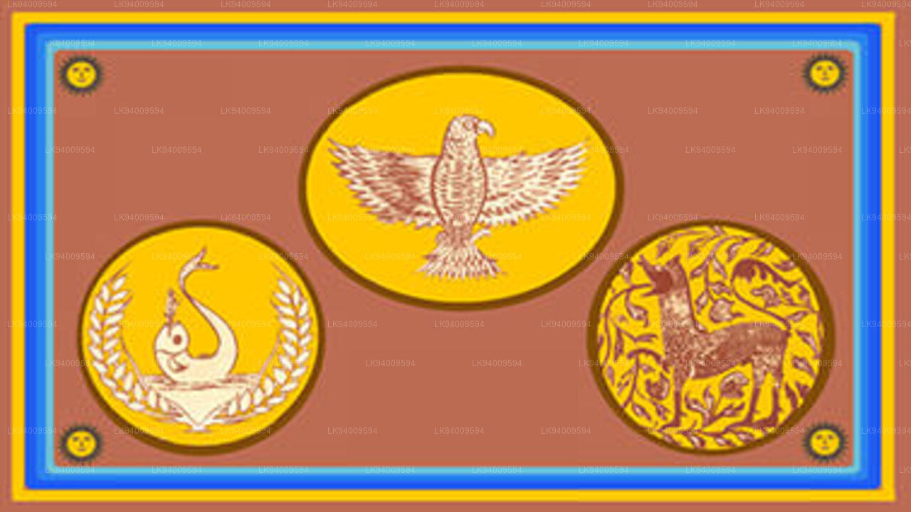
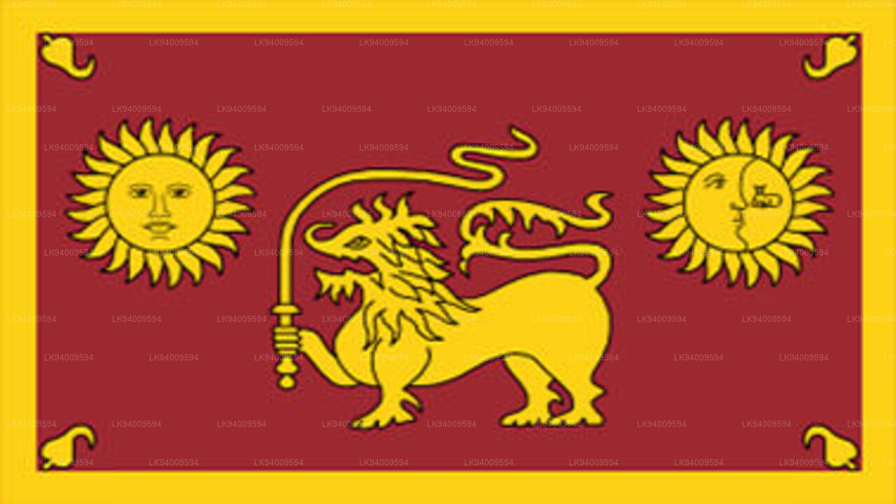
    Sabaragamuwa-provinsen 
  • Den nordvestlige provins består af to administrative distrikter, Kurunegala og Puttalam. Provinshovedstaden er Kurunegala, som har en befolkning på 28.571. Provinsen er kendt for sine kokosnødplantager.

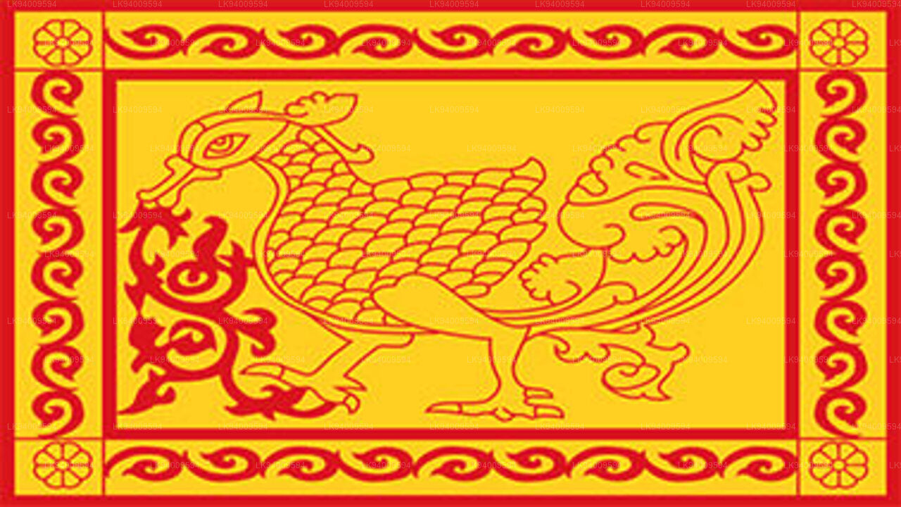
    Nordvestlige provins 
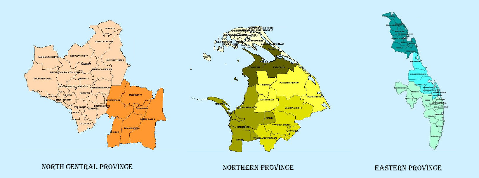
  • Den største provins i Sri Lanka, beliggende i den tørre zone med et areal på 10.714 km2, er den nordlige centrale provins, der består af to administrative distrikter, nemlig Anuradhapura og Polonnaruwa.

    North Central Province 
  • Den nordlige provins ligger i den nordlige del af Sri Lanka, kun 35 km fra Indien. Den har et landareal på 8.884 km². Provinsen er omgivet af Mannar-bugten og Palk-bugten mod vest, Palk-strædet mod nordvest, Bengalbugten mod nord og øst samt de østlige, nordlige centrale og nordvestlige provinser mod syd.

    Nordlige provins 
  • En anden provins i Sri Lanka, der mest er kendt for sine gyldne strande og den naturlige havn, er den østlige provins, som er 9.996 km2 stor og består af tre administrative distrikter, nemlig Trincomalee, Batticaloa og Ampara.

    østlige provins