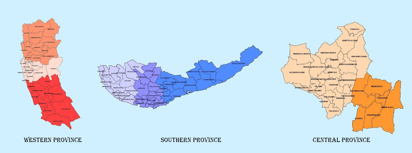
Provinces
The Democratic Socialist Republic of Sri Lanka (known as Ceylon until 1972) is located in the Indian Ocean between the Laccadive Sea in the west and the Bay of Bengal in the east, separated by the Palk Strait and the Gulf of Mannar from Tamil Nadu, an Indian state on the southern coast of the Indian subcontinent.
Uva Province
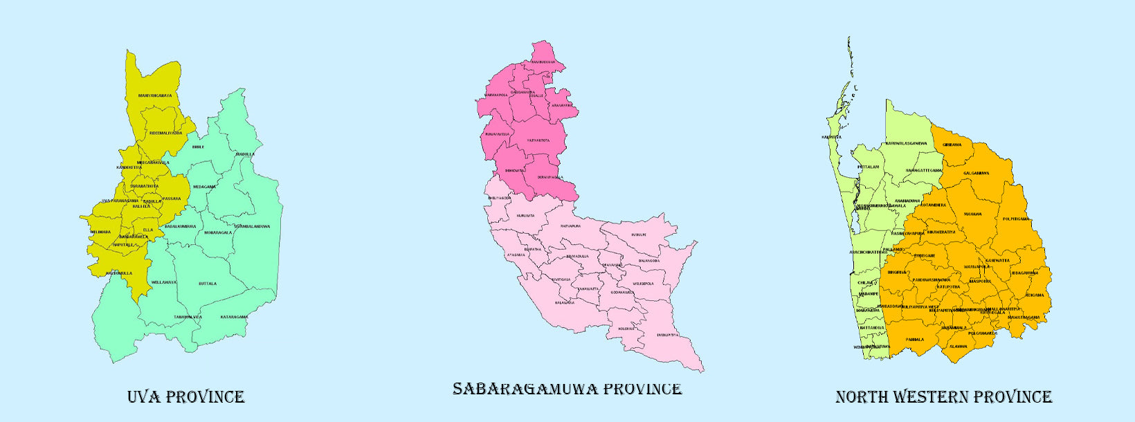
The Uva Province consists of two districts: Badulla and Moneragala while the capital of the province is Badulla. Uva is bordered by the Eastern, Southern and Central provinces. Uva’s symbolic mountain is Namunukula which stands tallest of the mountain range surrounding the Badulla town. One can get spectacular views of Welimada basin, Kataragama and Hambantota beach from Namunukula peak on a clear day. The views of sun rise and sun set are magnificent too.
In the Uva Province are a number of Sri Lanka’s famous waterfalls like Dunhinda Falls, Diyaluma Falls, Rawana Falls, Bambarakanda Falls as well as national parks such as the 9 Yala (lying partly in the Southern and Eastern Provinces) and Gal Oya (lying partly in the Eastern Province). The Gal Oya hills and the central mountains are the main uplands, while the Mahaweli and Menik rivers and Senanayake and Maduru Oya reservoirs are the major waterways. The main heritage sites in and around Badulla are ancient Muthiyangana temple, Dowa temple, Bogoda ancient wooden bridge and Bogoda Buddhist temple. The Muthiyangana temple is located in one end of the Badulla town, Bogoda Wooden Bridge and temple are close to Hali-ela town. Ancient Rawana Buddhist temple is also famous among the tourists who visit Rawana Cave and Rawana waterfall in Ella.
Haputale is a township in the Badulla District and its tallest mountain range is Kirigalpotta. Haputale-Beragala gap gives a splendid view of the Southern and Sabaragamuwa provinces on a clear day. The elevation is 1431 m (4695 ft) above the sea level. The area has a rich biodiversity with a wide variety of flora and fauna. The town has a cooler climate than its surroundings, due to its elevation. The Haputale Pass allows views across the southern plains of Sri Lanka. The south-west boundary of the Uva basin is marked by the Haputale mountain ridges, which continue on to the Horton Plains and Adam’s Peak on the west. CNN named Haputale as the Asia’s most unobserved destinations. Places of interset in Haputaleare; Lipton’s Seat,
-
 Western Province
The most densely populated province of Sri Lanka, the Western Province which is 3,593 km2 in extent is home to the country’s legislative capital Sri Jayewardenepura. It is also home to the country’s commercial hub, Colombo.
-
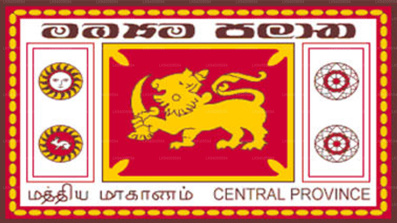 Central Province
The Central Province is located in the central hills of Sri Lanka comprising of three administrative districts: Kandy, Matale and Nuwara-Eliya. The land area of the province is 5,575 km2 which is 8.6% of the total land area of Sri Lanka.
-
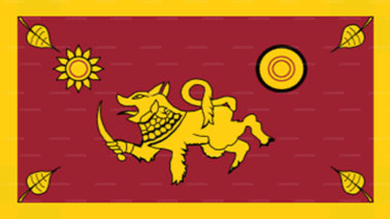 Southern Province
The Southern Province of Sri Lanka is a small geographic area consisting of three districts: Galle, Matara and Hambantota. Farming and fishing are the main sources of income for the vast majority of the people in this region.
-
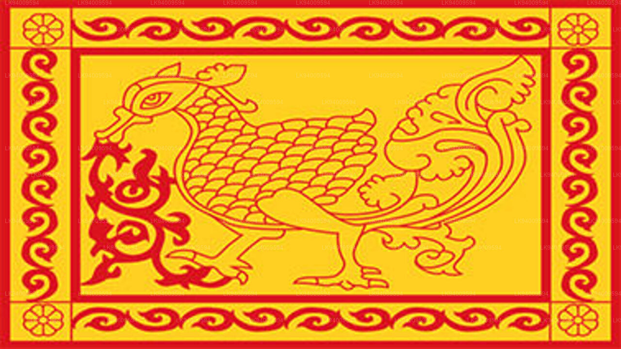 Uva Province
The Uva Province consists of two districts: Badulla and Moneragala while the capital of the province is Badulla. Uva is bordered by the Eastern, Southern and Central provinces.
-
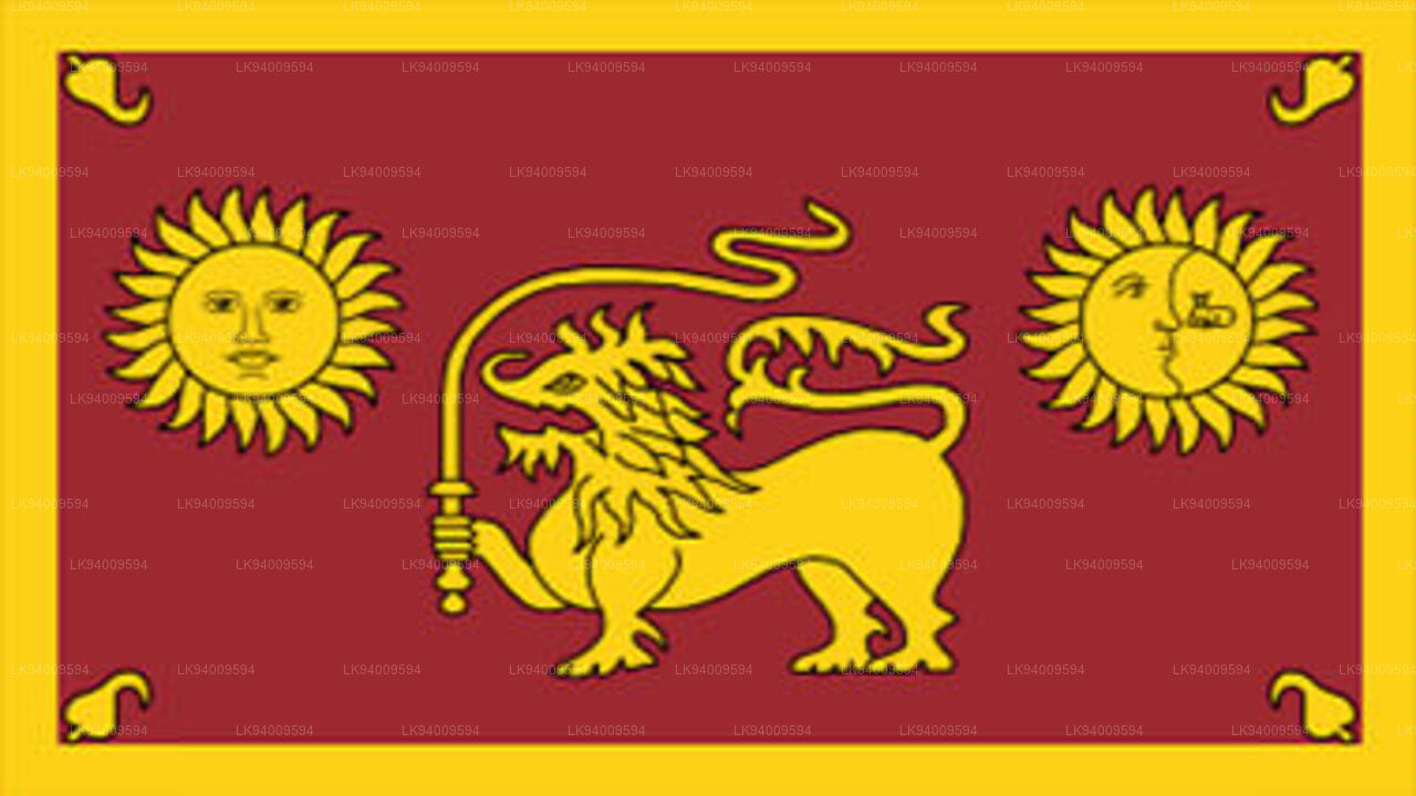 Sabaragamuwa Province
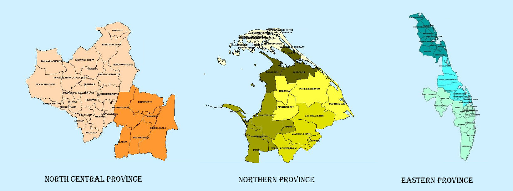
Sabaragamuwa is yet another province of Sri Lanka, located in the south-central region of the island and is comprised of two administrative districts: Ratnapura and Kegalle.
-
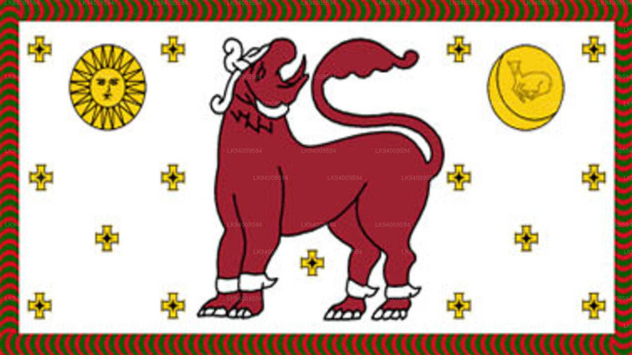 North Western Province
North Western Province is comprised of two administrative districts viz. Kurunegala and Puttalam. The provincial capital is Kurunegala that has a population of 28,571. The province is well known for its coconut plantations.
-
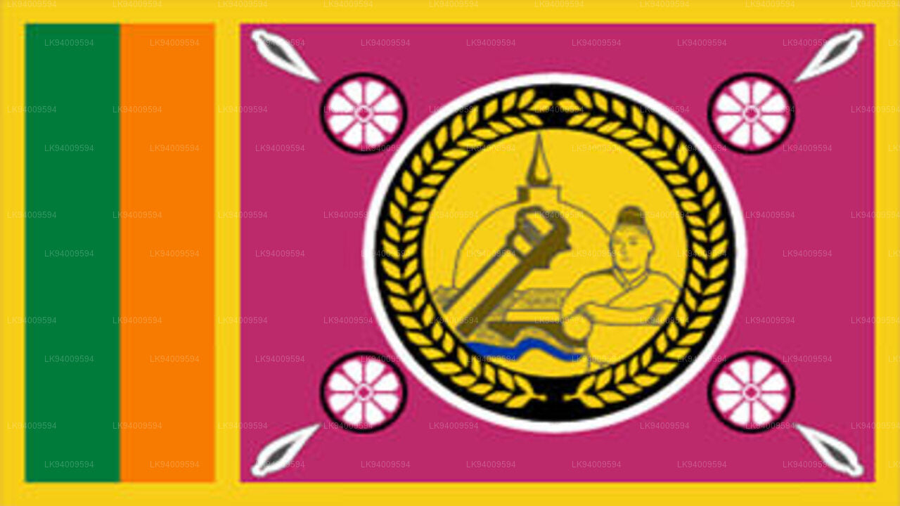 North Central Province
The largest province of Sri Lanka, located in the dry zone being 10,714 km2 in extent, the North Central Province that consists of two administrative districts viz. Anuradhapura and Polonnaruwa,
-
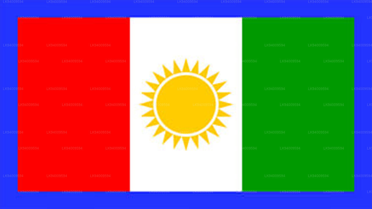 Northern Province
The Northern Province is located in the north of Sri Lanka just 35 km from India. It has a land area of 8,884 km’. The province is surrounded by the Gulf of Mannar and Palk Bay to the west, Palk Strait to the north west, the Bay of Bengal to the north and east and the Eastern, North Central and North Western provinces to the south.
-
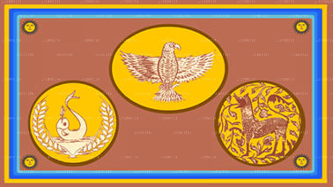 Eastern Province
Another province of Sri Lanka mostly known for its golden beaches and the natural harbour, the Eastern Province which is 9,996 km2 in extent consists of three administrative districts namely Trincomalee, Batticaloa and Ampara.


