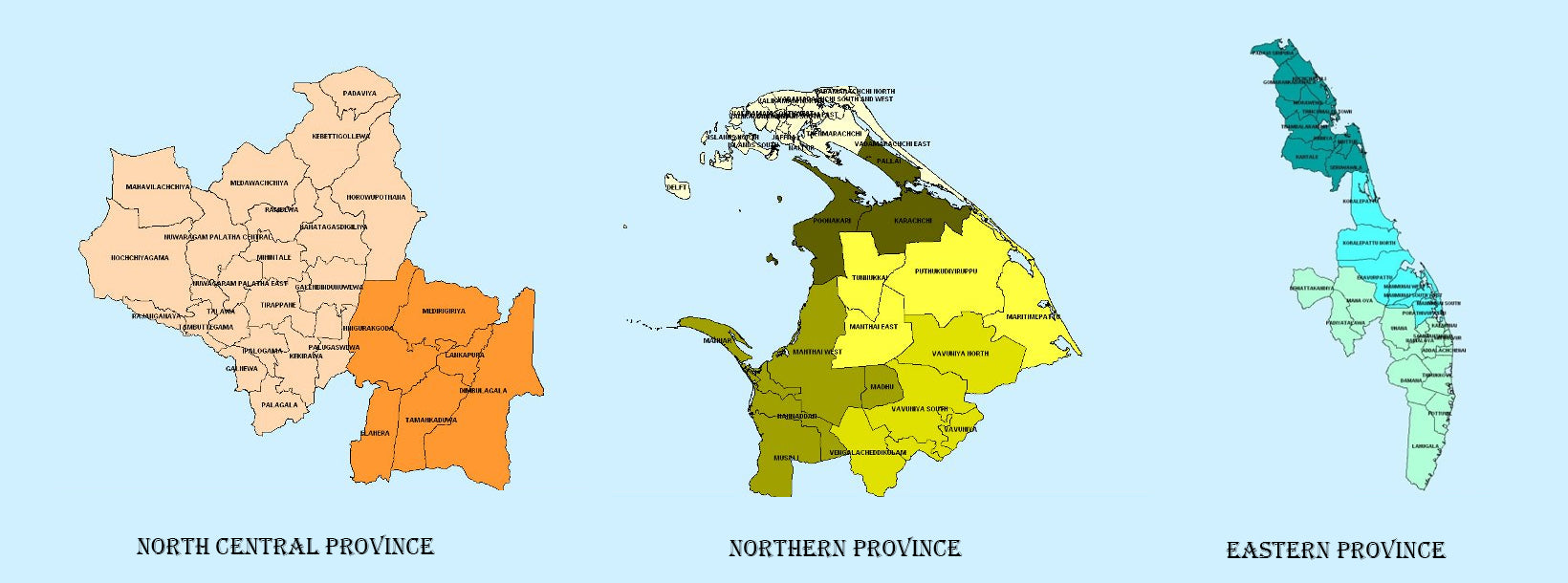
The largest province of Sri Lanka, located in the dry zone being 10,714 km2 in extent, the North Central Province that consists of two administrative districts viz. Anuradhapura and Polonnaruwa, is known for its centuries-old irrigated agriculture, ancient Sinhalese kingdoms and places of Buddhist worship such as Sri Maha Bodhi, Ruwanweliseya. The provincial capital, Anuradhapura which is located 205 km north of Colombo, is one of the most sacred cities in Sri Lanka as many places of Buddhist worship are located in this ancient city. It is one of the oldest continuously inhabited cities in the world and one of the eight World Heritage Sites of Sri Lanka.
From the 10th BCE, Anuradhapura was the capital of Sri Lanka until the beginning of the 11th century AD. During this period it remained one of the most stable and durable centres of political power and urban life in South Asia. The ancient city, considered sacred to the Buddhist world, is today surrounded by monasteries covering a vast area.
The Lower Early Historic period, spanning from 500 to 250 BC, is studied on the lines of the chronicles. During this time King Pandukabhaya formally planned the city, with gates, quarters for traders etc. The city at the time would have covered an area of 1 square kilometre which makes it one of the largest in the continent at the time.
The King Pandukabhaya made it his capital in the 4th century BC, and also he laid out the town and its suburbs according to a well-organized plan. The king who constructed a reservoir named Abhayavapi, established shrines for Yakkhas such as Kalawela and Cittaraja. During his tenure, the city was developed according to an original master plan. His son Mutasiva who succeeded to the throne, laid out the Mahameghavana Garden which was to play an important role in the early history of Buddhism in Sri Lanka. The living facilities were improved to accommodate the expanding population. Large lakes were also constructed by the rulers to irrigate paddy lands and also to supply water to the city. Nuwara Wewa and Tissa Wewa are among the best known lakes in the city.
The places of interest are Sri Maha Bodhiya, Ruwanweliseya, Thuparamaya, Lovamahapaya, Abhayagiri Dagoba, Jetavanaramaya, Mirisaveti Stupa Mirisaveti Stupa and Lankarama. The other constructions of importance are Isurumuniya, Magul Uyana, Vessagiri, Ratna Prasadaya, Queen’s Palace, Dakkhina Stupa, Sela Cetiya, Naka Vihara, Kiribath Vehera, Kuttam Pokuna, Samadhi Statue and the Toluwila Statue.
Yet another most famous city in the North Central Province is Polonnaruwa which is the second most ancient of Sri Lanka’s kingdoms and it was first declared the capital city by King Vijayabahu I, who defeated the Chola invaders in 1070 AD to reunite the country once more under a local leader.
Shifting of kingdoms to more strategic Polonnaruwa followed by the victory of Vijayabahu is considered significant. The real hero of Polonnaruwa according to the history books is his grandson, Parakramabahu whose reign is considered the Golden Age of Polonnaruwa. Trade and agriculture flourished during the reign of the king, who believed that no drop of water falling from the sky should be wasted. Hence, irrigation systems far superior to that of Anuradhapura Age were constructed during his reign. These systems even today supply water to paddy fields even during the dry season in the country. The Kingdom of Polonnaruwa was completely self-sufficient during the King Parakramabahu’s reign. Moreover, Polonnaruwa is a repository of the outstanding ruins, frescoes and enormous statues of reclining Buddha. The ruins of the old city are on the shores of Parakrama Samudraya. What remains in the ancient city itself is a cluster of palaces and temples contained within a rectangular city wall. The foundations of the royal palace and the king’s audience hall are particularly well-preserved.
An outstanding site in Polonnaruwa is the Gal Viharaya, also known as the Cave of the Spirits of Knowledge. It is an outdoor rock wall where giant standing and reclining sculptures of the Buddha have been carved out of the living rock. These four pieces of sculpture were commissioned by the King Parakramabahu. The first is of a seated Buddha in deep meditation, seated on a throne decorated with lions and thunderbolts. The second is inside of a cave and records in detail Parakramabahu’s initiatives to unite the Buddhist order.
The next sculpture stands twenty three feet high and expresses the serenity of the Buddha. The final and the most imposing statue is of a reclining Buddha, which measures 46 feet in length. It is in the last moment of his life on earth, before attaining nirvana.
However, with the exception of his immediate successor, Nissankamalla I, all the other monarchs of Polonnaruwa were slightly weak-willed and rather prone to picking fights within their own court. Invasion by King Kalinga Magha in 1214 and the eventual passing of power into the hands of a Pandyan king following the Arya Chakrawarthi invasion of Sri Lanka in 1284, led to the shift of the capital to Dambadeniya.
Today the ancient city of Polonnaruwa remains one of the best planned archaeological relic sites in the country, standing testimony to the discipline and greatness of the Kingdom’s first rulers. The city has been declared a world heritage site by UNESCO. Polonnaruwa is the second largest city in the North Central Province, but it is one of the cleanest and more beautiful cities in the country. The green environment, amazing ancient constructions, Parakrama Samudraya (a vast lake built in 1200), and attractive tourist hotels and hospitable people, attract tourists to Polonnaruwa.
The places of interest are: Lankatilaka Temple, Thuparamaya, Sandakada Pahana at Polonnaruwa, statues at Gal Viharaya, Medirigiriya Vatadage, Pothgul Vehera, Nissanka Latha Mandapaya, the Statue of Pulasthi, palace of the King Parakramabhahu, and many more.

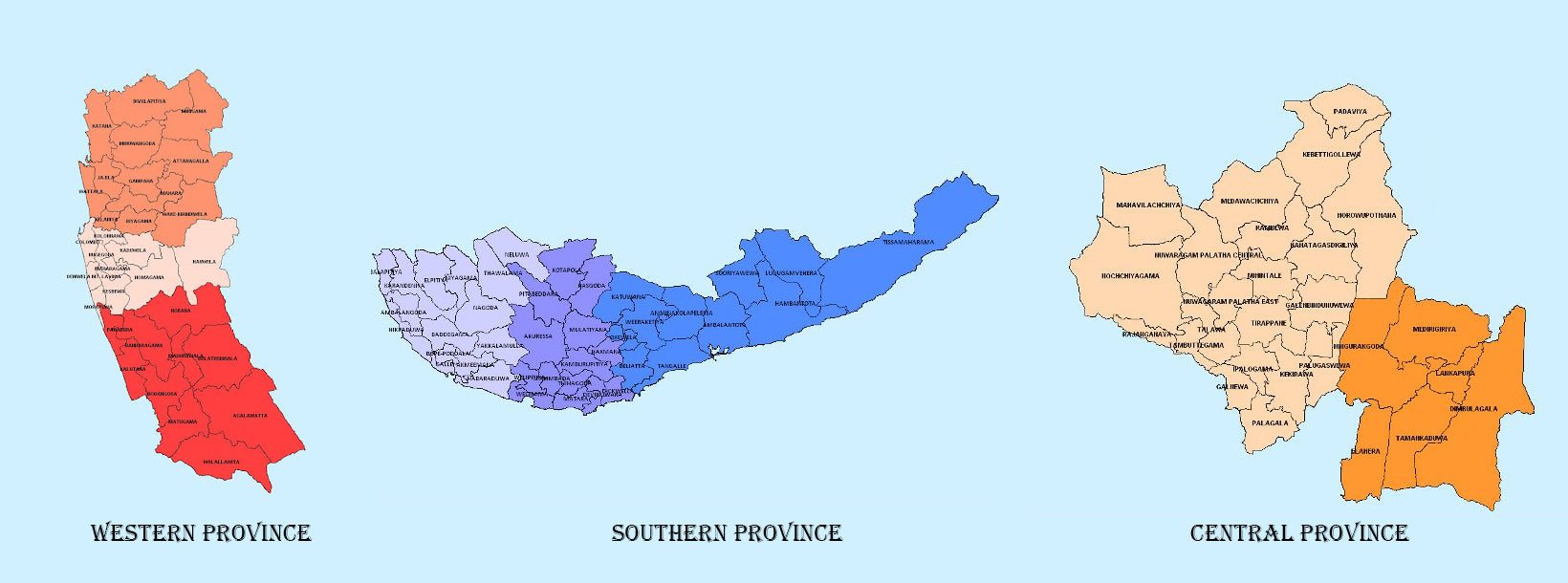
 Western Province
 Central Province
 Southern Province
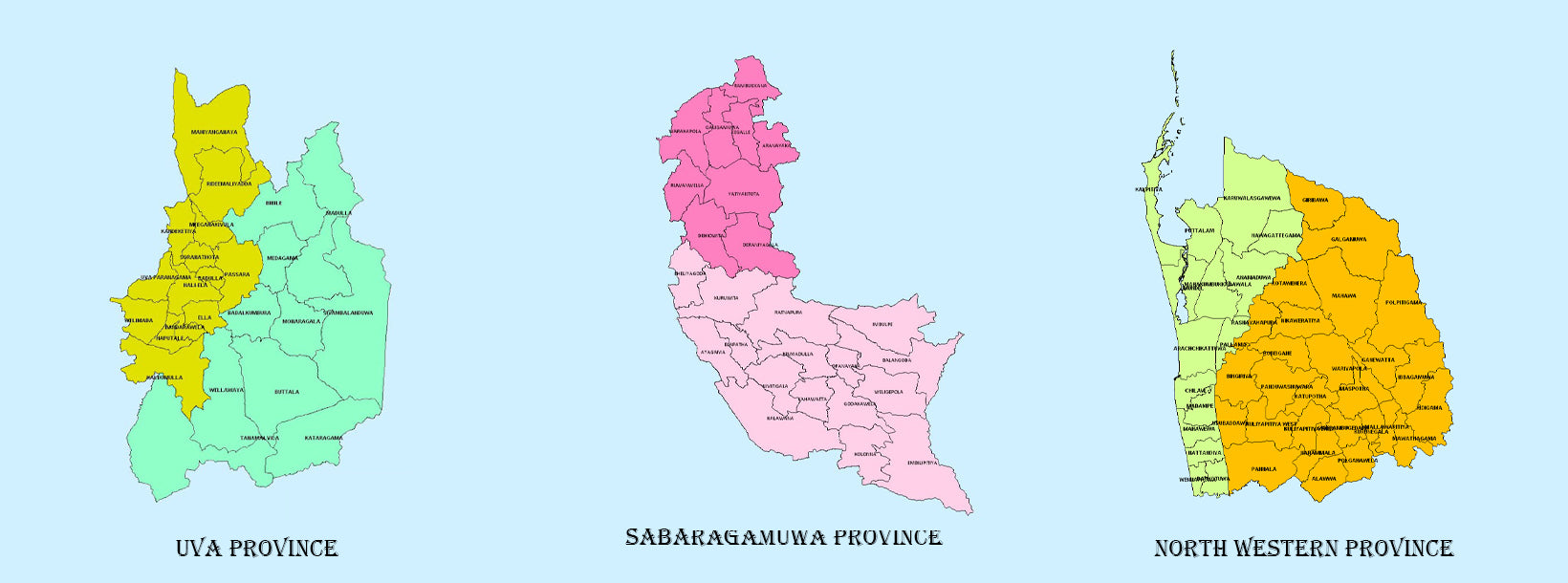
 Uva Province
 Sabaragamuwa Province
 North Western Province
 North Central Province
 Northern Province
 Eastern Province