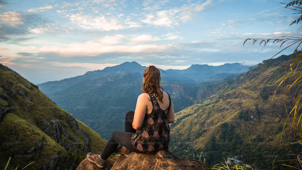
Montagne Ritigala


Ritigala est une montagne située au centre de Sri Lanka qui abrite un ancien monastère bouddhiste. Les ruines et les inscriptions rupestres de ce monastère remontent au Ier siècle av. J.-C. Elle se trouve à 43 km de l’ancienne ville monastique de Anuradhapura.
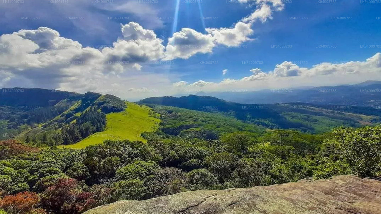
La montagne Ritigala se compose de quatre sommets qui s’élèvent abruptement depuis la plaine environnante. La montagne s’étend sur 6,5 km et est divisée en blocs nord et sud par la gorge de Maha-Degala. Le sommet le plus élevé est Ritigala Kanda dans le bloc sud.
À 766 m au-dessus du niveau de la mer et environ 600 m au-dessus des plaines environnantes, Ritigala est la plus haute montagne du nord de Sri Lanka. Le nom moderne Ritigala est dérivé de l’ancien nom Arittha Pabbata, signifiant « montagne redoutable », mentionné dans le Mahavamsa.
Son altitude est plus élevée que celle d’autres attractions célèbres des plaines du centre-nord, notamment Sigiriya, Dambulla et Mihintale. L’importance de cette caractéristique topographique réside dans la brusque raideur du massif, ses pentes boisées et le microclimat humide présent au sommet.
Climat
Les montagnes interceptent les vents chargés d’humidité et génèrent des précipitations orographiques, rendant la montagne plus humide que les basses terres environnantes. Pendant la mousson du nord-est (décembre à février), Ritigala connaît les précipitations les plus élevées de toute la zone sèche.
Le microclimat humide de Ritigala est un phénomène unique dans les plaines du centre-nord, au sein de l’ancienne région de Sri Lanka connue sous le nom de Wewu Bandi Rata, signifiant « la terre des réservoirs d’eau de pluie ».
Le climat au sommet contraste fortement avec celui au pied de la montagne. Il est plus frais comparé au climat chaud et sec de la région environnante. La brume et la couverture nuageuse pendant la mousson du sud-ouest entraînent une forte condensation de vapeur, maintenant le sol humide même lorsque les plaines environnantes connaissent la sécheresse.
Réserve naturelle stricte de Ritigala
Ritigala est une réserve naturelle stricte couvrant 1 528 hectares. Elle a été établie le 7 novembre 1941 et est gérée par le Département de la conservation de la faune sauvage de Sri Lanka en collaboration avec le Département des forêts.
Légendes
De nombreuses légendes sont associées à Ritigala. Une croyance mystérieuse concerne de puissantes herbes médicinales trouvées près du sommet de la montagne. Une herbe appelée Sansevi est censée avoir le pouvoir d’accorder une longue vie et de guérir les maladies humaines. Selon la légende, toute la végétation de Ritigala est protégée par les Yakkas, les esprits gardiens de la montagne.
Le vénérable professeur Walpola Sri Rahula Maha Thera, un moine bouddhiste et professeur d’histoire et de religions, a noté que le terme Yaksa désigne des êtres surhumains dignes de respect. Il peut également avoir fait référence aux communautés indigènes pré-bouddhistes de Sri Lanka.
Une autre légende affirme que le prince Pandukhabaya fut aidé par les Yakkas lors de ses batailles contre ses huit oncles au pied de Ritigala. Une autre histoire évoque un duel entre deux géants, peut-être des Yakkas, nommés Soma et Jayasena. Soma fut tué dans le duel, tandis que Jayasena devint une figure légendaire.
La légende du Seigneur Hanuman et de Ritigala
Selon la croyance populaire, le Seigneur Hanuman serait passé au-dessus de Ritigala en transportant une partie d’une montagne de l’Himalaya remplie d’herbes médicinales. Il transportait la montagne vers Lanka afin d’obtenir une herbe rare nécessaire pour sauver la vie du prince Lakshmana, le frère du Seigneur Rama. Au cours de ce voyage, un morceau de la montagne serait tombé sur Ritigala.
Cette légende est souvent utilisée pour expliquer la végétation inhabituelle trouvée au sommet de Ritigala, qui diffère de la flore typique de la zone sèche présente sur les pentes inférieures et les plaines environnantes.
Une autre histoire décrit la visite antérieure de Hanuman à Lanka lorsqu’il recherchait Sita, l’épouse du Seigneur Rama, qui avait été enlevée par le roi Ravana. Selon la légende, Hanuman aurait utilisé Ritigala Kanda comme point de départ pour un grand saut vers le sud de l’Inde.
Ruines de l’ancien monastère de Ritigala
Les ruines du monastère de Ritigala se trouvent sur le côté est de la montagne au pied de la gorge séparant le sommet principal de la crête nord. Les ruines couvrent une superficie d’environ 24 hectares. Le complexe monastique commence près du réservoir connu sous le nom de Banda Pokuna.
Ce réservoir ancien est un exemple impressionnant d’ingénierie ancienne, avec une digue formant une circonférence d’environ 366 mètres. La construction du réservoir est traditionnellement attribuée au roi Pandukabhaya. On pense que le réservoir servait de lieu de bain rituel pour les visiteurs avant d’entrer dans le monastère.
L’agencement du bassin de bain, des ruines de l’entrée et des chemins suggère qu’un grand nombre de fidèles visitaient autrefois le monastère. Cette approche rituelle est similaire à la tradition de Kataragama, où les pèlerins commencent par un bain de purification avant de faire des offrandes religieuses.
En suivant le bord du réservoir, on arrive à un ruisseau et à un ensemble de marches raides qui montent vers un magnifique chemin pavé de pierres. Ce chemin pavé, d’environ 1,5 mètre de large, serpente à travers la forêt et relie les principaux bâtiments du monastère. Le chemin est composé de dalles de pierre imbriquées, avec des plates-formes circulaires de repos placées à intervalles réguliers.
Ponts en pierre, plates-formes surélevées et cours
Le monastère comprend des structures à double plate-forme connues sous le nom de Padhanaghara, caractéristiques des monastères forestiers. Des structures similaires peuvent également être trouvées dans des endroits comme Arankele et d’autres monastères forestiers près de Anuradhapura.
Ces structures sont constituées de plates-formes surélevées construites avec de grands murs de soutènement en pierre et reliées par des ponts en pierre. Les plates-formes étaient probablement couvertes et divisées en pièces utilisées pour la méditation, l’enseignement et les cérémonies religieuses.
Les ruines voisines indiquent la présence d’un hôpital monastique où les herbes médicinales étaient préparées. Des pierres de broyage et de grands bains d’huile ayurvédiques taillés dans la pierre peuvent encore être observés sur le site.
Le chemin principal en pierre continue à travers la forêt, passant par des points d’observation accessibles par des sentiers serpentant entre d’énormes racines d’arbres. Il existe également une cascade artificielle créée en plaçant une dalle de pierre entre deux rochers.
Plus loin le long du chemin se trouvent des cours en contrebas contenant certaines des plus grandes structures à double plate-forme du complexe monastique. Une plate-forme conserve encore les restes de piliers qui soutenaient autrefois un bâtiment, tandis qu’une autre grande plate-forme se trouve à proximité dans la même cour.
-
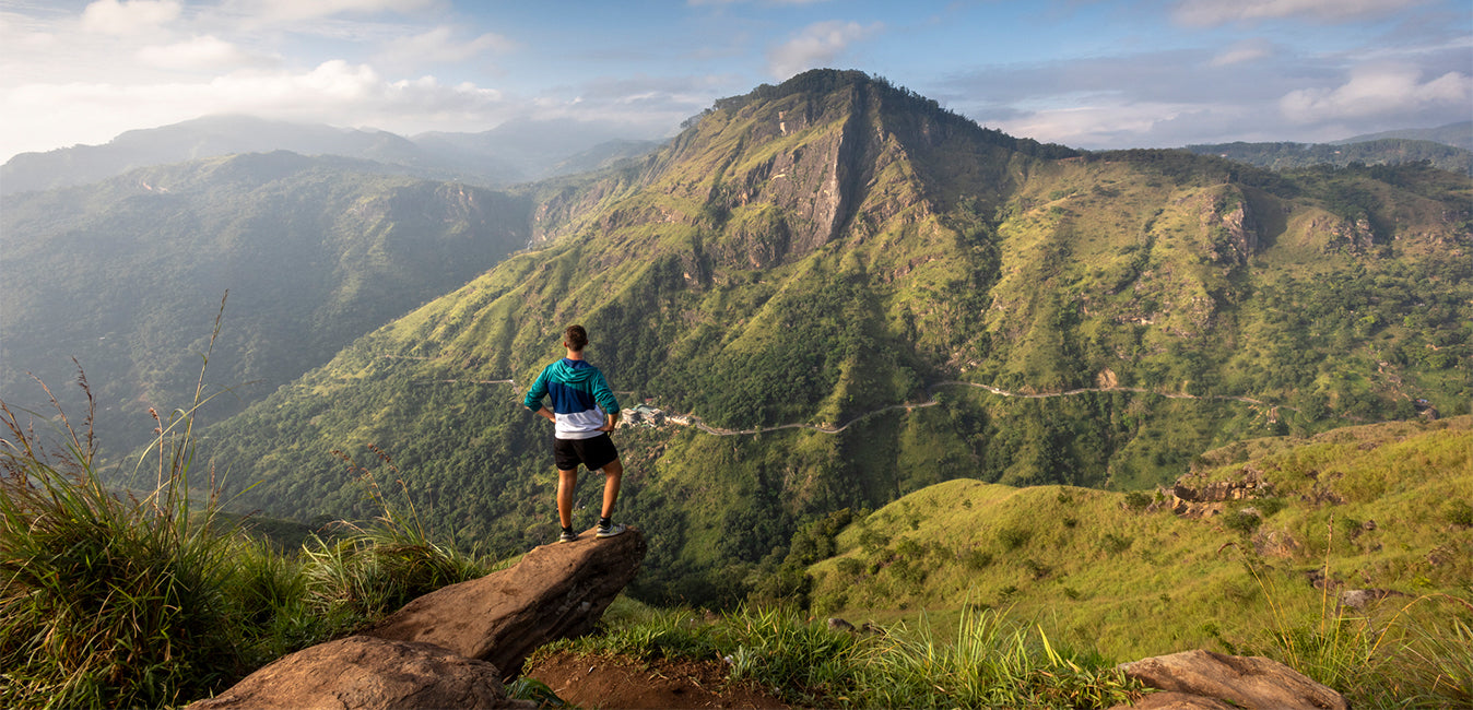
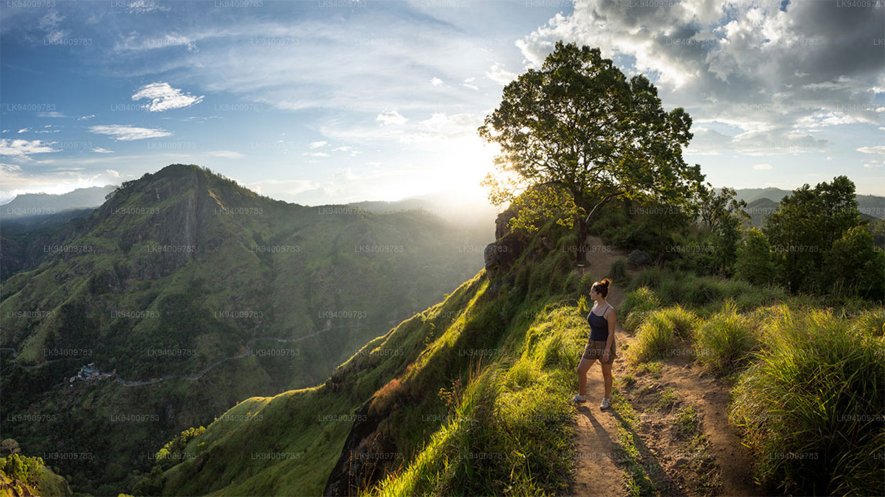
 Pidurutalagala
Le Pidurutalagala, ou mont Pedro en français, est un sommet très proéminent et le plus haut du Sri Lanka, culminant à 2 524 mètres. Situé à proximité de la ville de Nuwara Eliya, il est facilement visible depuis la majeure partie de la province centrale. Il se trouve au nord-nord-est de Nuwara Eliya.
-
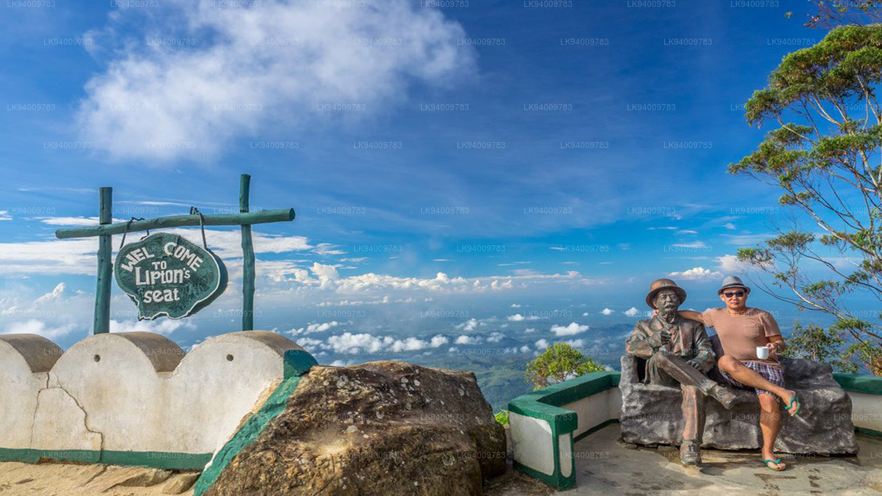 Siège Lipton
Le point de vue de Lipton's Seat, situé sur les hauteurs de Poonagala, offre un panorama exceptionnel. Perché au sommet de la colline éponyme, il se trouve également à proximité de la fabrique de thé de Dambatenne. Lipton's Seat doit son nom au célèbre baron écossais et planteur de thé, Sir Thomas Lipton, qui l'utilisait comme poste d'observation pour contempler son empire, à une époque révolue mais toujours vivante dans les mémoires.
-
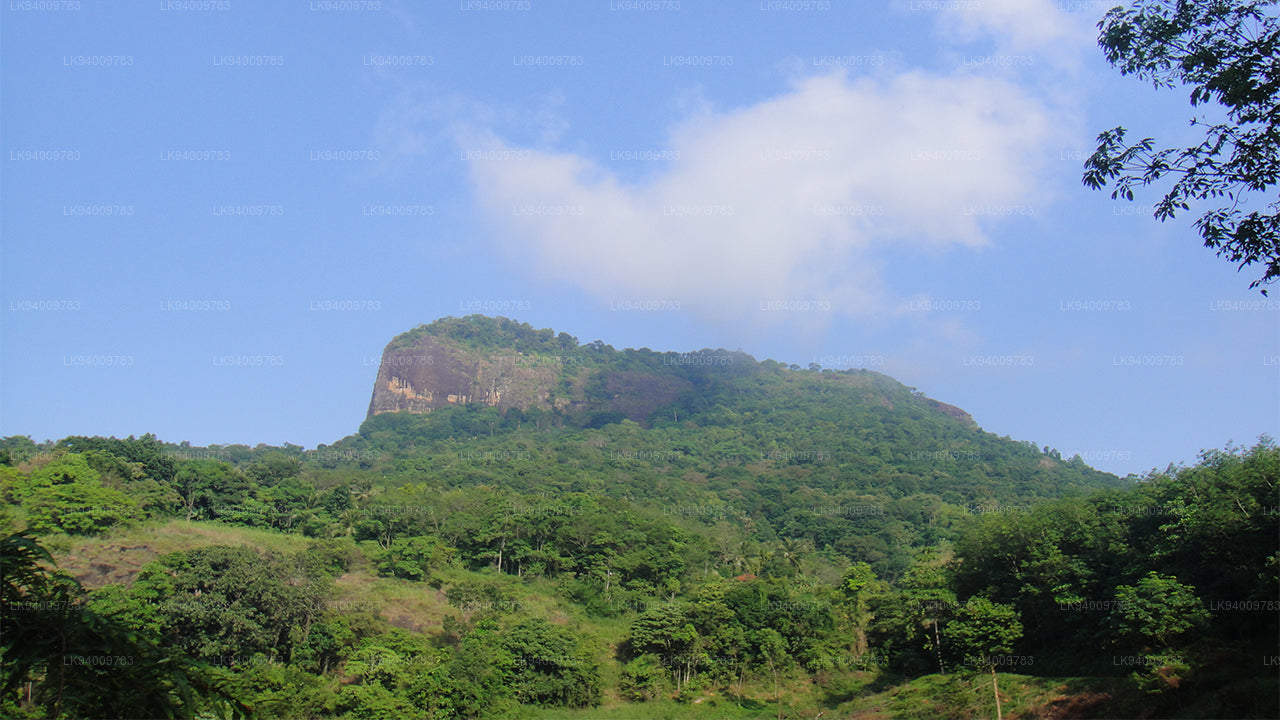
 Petit pic d'Adam
Ne sous-estimez pas le magnifique site touristique du Sri Lanka, le Petit Pic d'Adam, en raison de son nom qui lui est associé : il tire son nom du Pic d'Adam sacré (Sri Pada, où est conservée l'empreinte du pied du Bouddha), compte tenu de la ressemblance entre les deux montagnes.
-
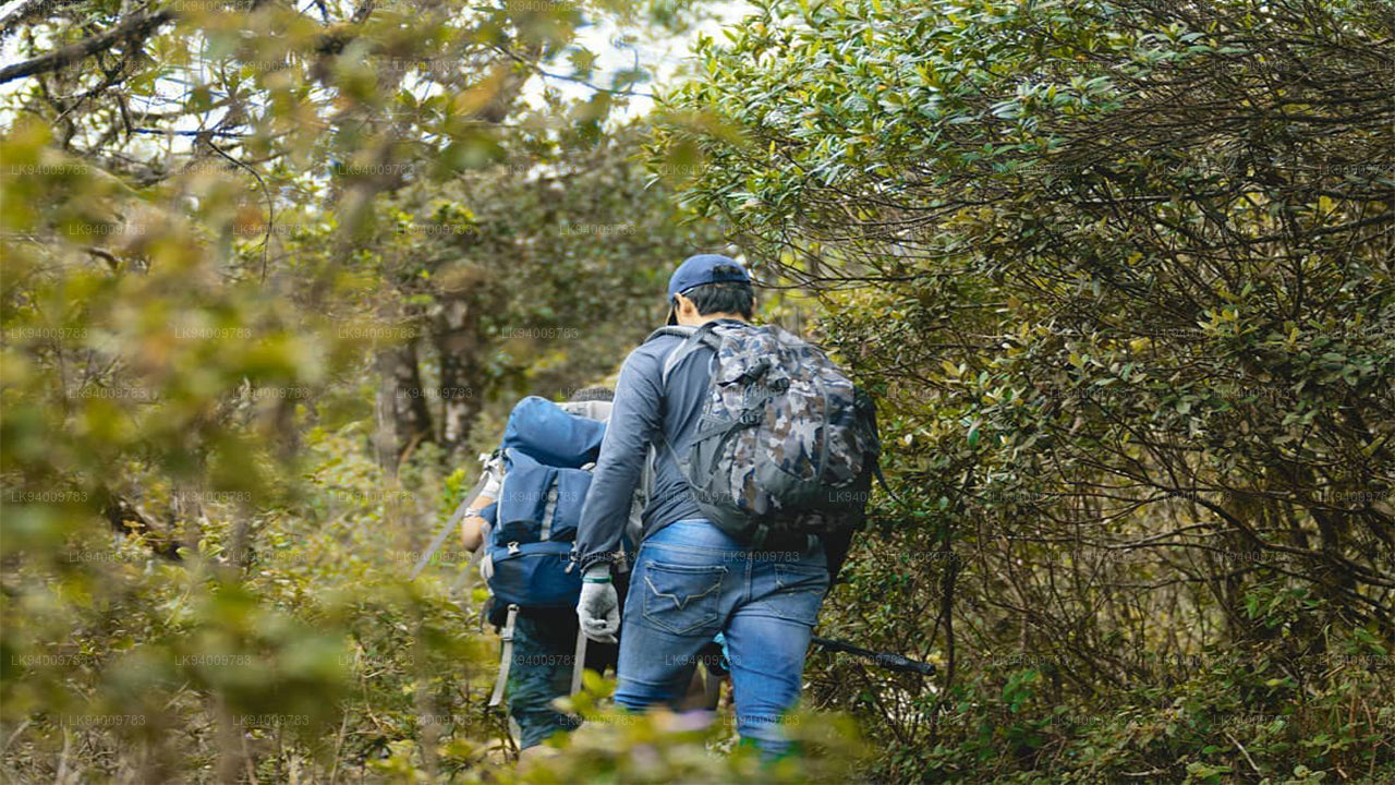
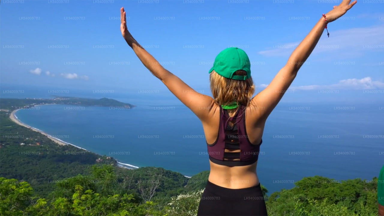
 Ritigala
Ritigala est accessible depuis la bifurcation de la route Habarana-Anuradhapura, à 12 km d'Habarana. Un chemin de gravier carrossable de 5 km mène ensuite au pied de la montagne.
-
 Ethagala (Rocher de l'Éléphant)
Ethagala (le Rocher de l'Éléphant) est l'un des sept rochers qui surplombent la ville de Kurunegala, au Sri Lanka. Sa paroi rocheuse s'élève à 316 mètres au-dessus de la ville et sa forme rappelle celle d'un éléphant accroupi, d'où son nom.
-
 Montagne de Rumassala
La montagne Rumassala. Autrefois, Rumassala s'appelait Buona Vista, un nom qui remonte à la période coloniale et qui est très probablement une déformation.
-
 La chaîne des Knuckles
La chaîne des Knuckles, également appelée chaîne de montagnes de Dumbara, se situe au large de Kandy, à l'extrémité nord des hauts plateaux centraux du Sri Lanka. Au sud et à l'est de la chaîne se trouve le bassin du fleuve Mahaweli, tandis qu'à l'ouest s'étendent les plaines de Matale.
-
 Chaîne de montagnes d'Alagalla
Chaîne de montagnes d'Alagalla. La chaîne de montagnes d'Alagalla, également appelée « chaîne des pommes de terre », est située à la frontière des provinces centrales et de Sabaragamuwa au Sri Lanka.
-
 Rocher biblique
Bible Rock est une montagne située près d'Aranayake, dans le district de Kegalle, au centre du Sri Lanka. Elle est connue sous le nom de « rocher de la Bible » en raison de sa ressemblance avec la Bible.
-
 Montagne des Singes
La montagne des singes. La région de Gal Oya est resplendissante de forêts et de végétation luxuriante. Totalement à l'écart des sentiers battus et interdite d'accès pendant la guerre, la région a échappé à un développement important et le paysage est resté en grande partie intact.
-
 Yahangala
Après sa mort, le corps du grand roi Ravana fut déposé sur ce rocher appelé Yahangala (rocher-mère), afin que ses compatriotes puissent rendre un dernier hommage à leur cher roi disparu.