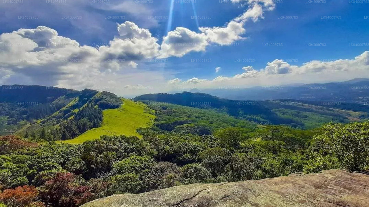
Pidurutalagala
-
 Pidurutalagala
Le Pidurutalagala, ou mont Pedro en français, est un sommet très proéminent et le plus haut du Sri Lanka, culminant à 2 524 mètres. Situé à proximité de la ville de Nuwara Eliya, il est facilement visible depuis la majeure partie de la province centrale. Il se trouve au nord-nord-est de Nuwara Eliya.
-
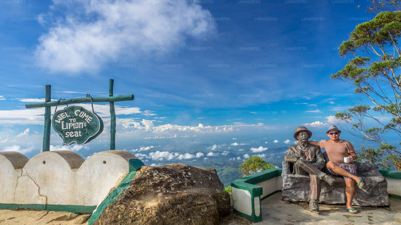 Siège Lipton
Le point de vue de Lipton's Seat, situé sur les hauteurs de Poonagala, offre un panorama exceptionnel. Perché au sommet de la colline éponyme, il se trouve également à proximité de la fabrique de thé de Dambatenne. Lipton's Seat doit son nom au célèbre baron écossais et planteur de thé, Sir Thomas Lipton, qui l'utilisait comme poste d'observation pour contempler son empire, à une époque révolue mais toujours vivante dans les mémoires.
-
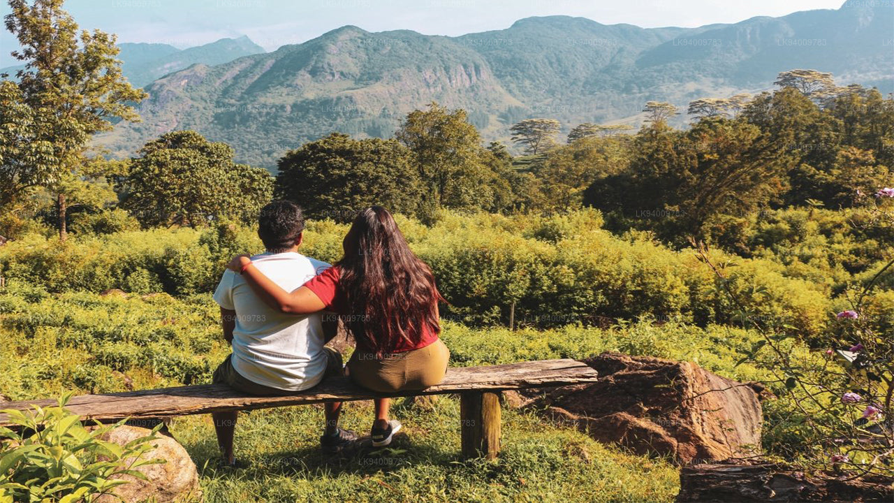
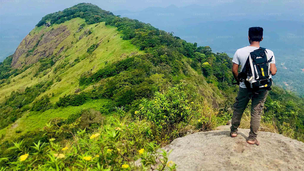
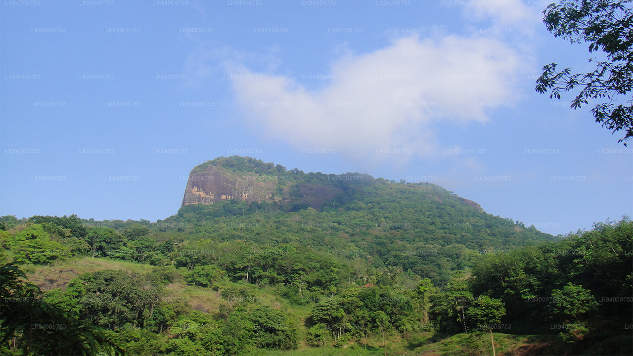
 Petit pic d'Adam
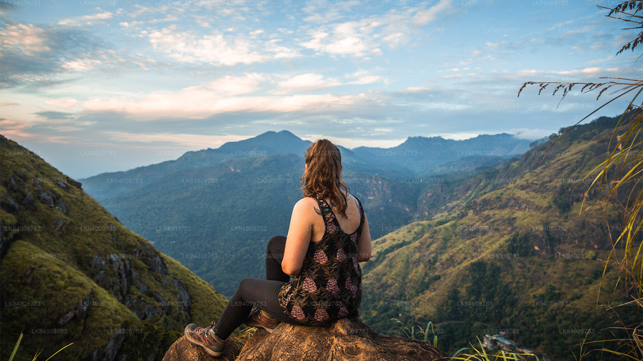
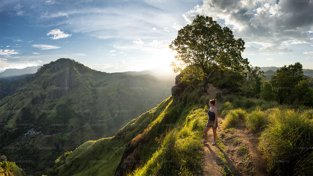
Ne sous-estimez pas le magnifique site touristique du Sri Lanka, le Petit Pic d'Adam, en raison de son nom qui lui est associé : il tire son nom du Pic d'Adam sacré (Sri Pada, où est conservée l'empreinte du pied du Bouddha), compte tenu de la ressemblance entre les deux montagnes.
-
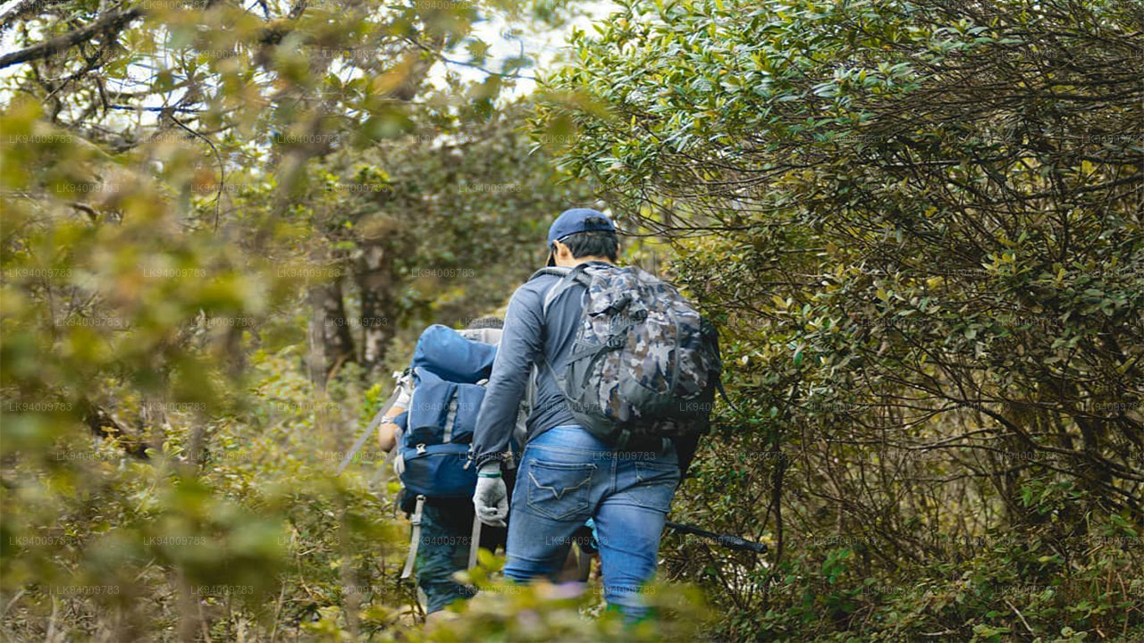
 Ritigala
Ritigala est accessible depuis la bifurcation de la route Habarana-Anuradhapura, à 12 km d'Habarana. Un chemin de gravier carrossable de 5 km mène ensuite au pied de la montagne.
-
 Ethagala (Rocher de l'Éléphant)
Ethagala (le Rocher de l'Éléphant) est l'un des sept rochers qui surplombent la ville de Kurunegala, au Sri Lanka. Sa paroi rocheuse s'élève à 316 mètres au-dessus de la ville et sa forme rappelle celle d'un éléphant accroupi, d'où son nom.
-
 Montagne de Rumassala
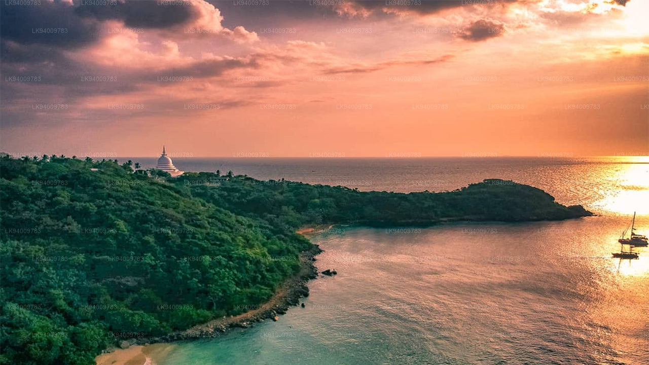
La montagne Rumassala. Autrefois, Rumassala s'appelait Buona Vista, un nom qui remonte à la période coloniale et qui est très probablement une déformation.
-
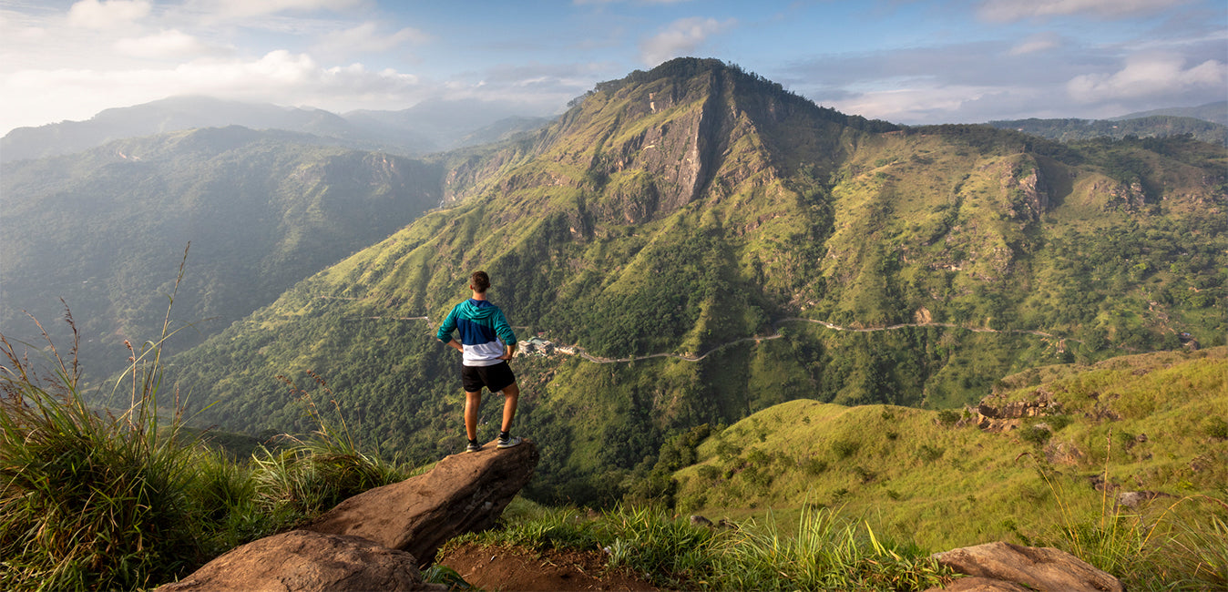
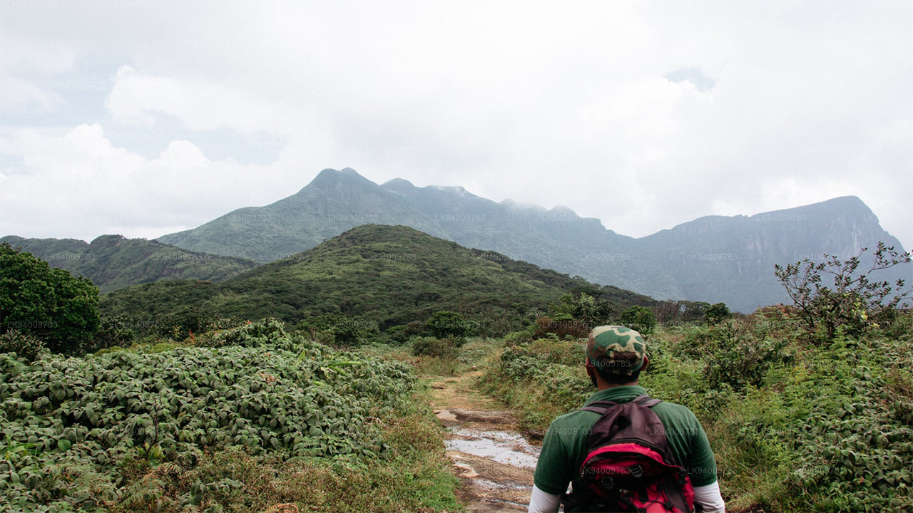
 La chaîne des Knuckles
La chaîne des Knuckles, également appelée chaîne de montagnes de Dumbara, se situe au large de Kandy, à l'extrémité nord des hauts plateaux centraux du Sri Lanka. Au sud et à l'est de la chaîne se trouve le bassin du fleuve Mahaweli, tandis qu'à l'ouest s'étendent les plaines de Matale.
-
 Chaîne de montagnes d'Alagalla
Chaîne de montagnes d'Alagalla. La chaîne de montagnes d'Alagalla, également appelée « chaîne des pommes de terre », est située à la frontière des provinces centrales et de Sabaragamuwa au Sri Lanka.
-
 Rocher biblique
Bible Rock est une montagne située près d'Aranayake, dans le district de Kegalle, au centre du Sri Lanka. Elle est connue sous le nom de « rocher de la Bible » en raison de sa ressemblance avec la Bible.
-
 Montagne des Singes
La montagne des singes. La région de Gal Oya est resplendissante de forêts et de végétation luxuriante. Totalement à l'écart des sentiers battus et interdite d'accès pendant la guerre, la région a échappé à un développement important et le paysage est resté en grande partie intact.
-
 Yahangala
Après sa mort, le corps du grand roi Ravana fut déposé sur ce rocher appelé Yahangala (rocher-mère), afin que ses compatriotes puissent rendre un dernier hommage à leur cher roi disparu.