Namunukula


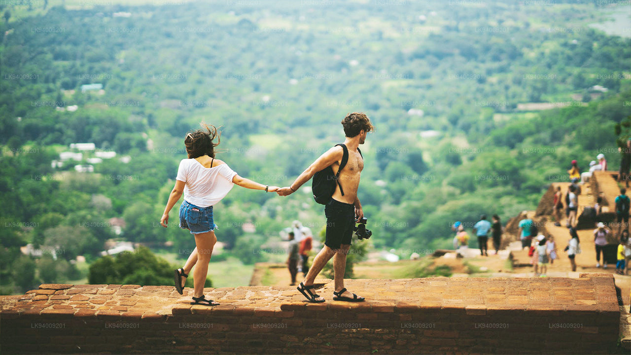
Namunukula ist ein Gebirgszug in der Nähe von Badulla, der Hauptstadt der Provinz Uva im Südosten des Hochlands von Sri Lanka. Mit einer Höhe von 2.035 Metern über dem Meeresspiegel gehört er zu den 12 höchsten Bergen des Landes und ist der höchste Gipfel im östlichen Teil der südlichen Bergkette, die sich von Siri Pada (Adam’s Peak) im Westen bis nach Namunukula im Osten erstreckt. Der Berg dominiert das Spring Valley sowie die Region Passara, die für ihre Teeplantagen bekannt sind, und bildet einen wichtigen Teil des berühmten Uva-Teeanbaugebiets, das sich über etwa 40 km von Horton Plains erstreckt.
Mehrere Wege führen zum Plateau von Namunukula, wobei die einfachste Route in der Nähe des Passes zwischen Spring Valley und Passara beginnt. Der Pass ist leicht zu finden, da es nur eine Straße gibt, die durch das Tal führt. Folgen Sie einfach der Straße B97 durch Spring Valley in Richtung Demodara, biegen Sie beim Geschäft im Ortszentrum links ab und folgen Sie der Nebenstraße fast bis zum Gipfel. Etwa 300 Meter vor dem Pass zweigt links ein Wanderweg ab. Der Aufstieg erfordert keine Kletterkenntnisse, ist jedoch aufgrund der steilen Steigung körperlich anspruchsvoll.
Das bewaldete Gebiet ist die Heimat von Makaken, Sambarhirschen und Wildschweinen. Auch Leoparden leben in den Hochlandwäldern Sri Lankas, werden jedoch nur selten von Wanderern gesichtet. Auf dem etwa 150 Meter breiten Gipfelplateau befinden sich kleine Schreine, die Buddha, Vishnu und Ganesha gewidmet sind. In Sri Lanka wird Vishnu vor allem von singhalesischen Buddhisten verehrt, während Ganesha eher mit der tamilischen Tradition verbunden ist. Ähnlich wie beim Adam’s Peak glaubt man auch hier an einen Berggott namens Indaka, der die Region beschützt.
Der Name „Namunukula“ bedeutet auf Singhalesisch „Neun Gipfel“ und bezieht sich auf die gesamte Bergkette, nicht nur auf den höchsten Punkt. Das Gebiet erstreckt sich über etwa 13 km von Nord nach Süd und umfasst Regionen von Badulla bis zu nahegelegenen Pässen. Ein Dorf am Südhang trägt ebenfalls den Namen Namunukula, was zur Einzigartigkeit dieser landschaftlich reizvollen und kulturell bedeutenden Region im Hochland von Sri Lanka beiträgt.
Special places in Badulla
-
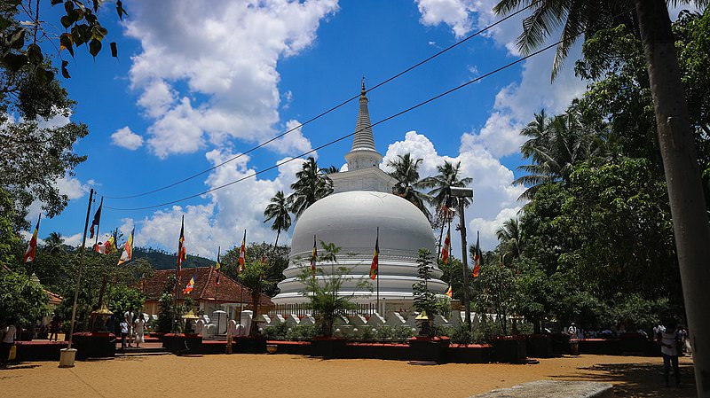 Muthiyangana Raja Maha Vihara
Muthiyanganaya Raja Maha Viharaya lies in the centre of the city of Badulla. The History of this temple goes back to the time of Buddha but this area around Badulla goes way back in to the time of 19th -18th century BCE.
-
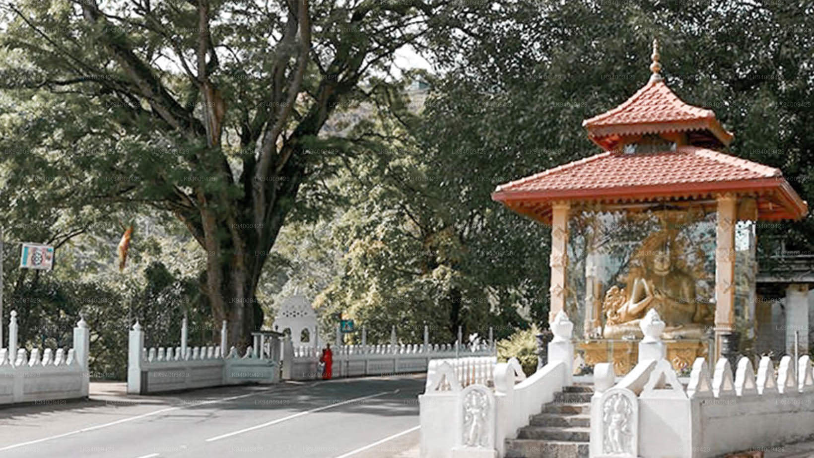 Dowa Raja Maha Viharaya
Dowa Raja Maha Viharaya (Dowa Cape Temple) lies few kilometres away from the Bandarawela town on the Bandarawela – Badulla Road. This temple is thought to be done by King Walagamba in the in first century BC.
-
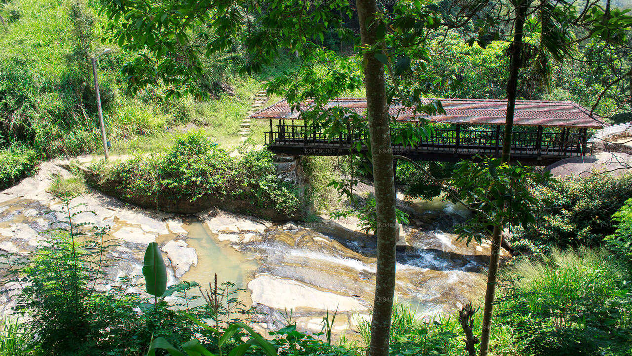 Bogoda Wooden Bridge
The Bogoda Wooden Bridge was built in the 16th century during the Dambadeniya era. This is said to be the oldest surviving wooden bridge in Sri Lanka. The bridge is situated at 7 kilometres (4.3 mi) west of Badulla.
-
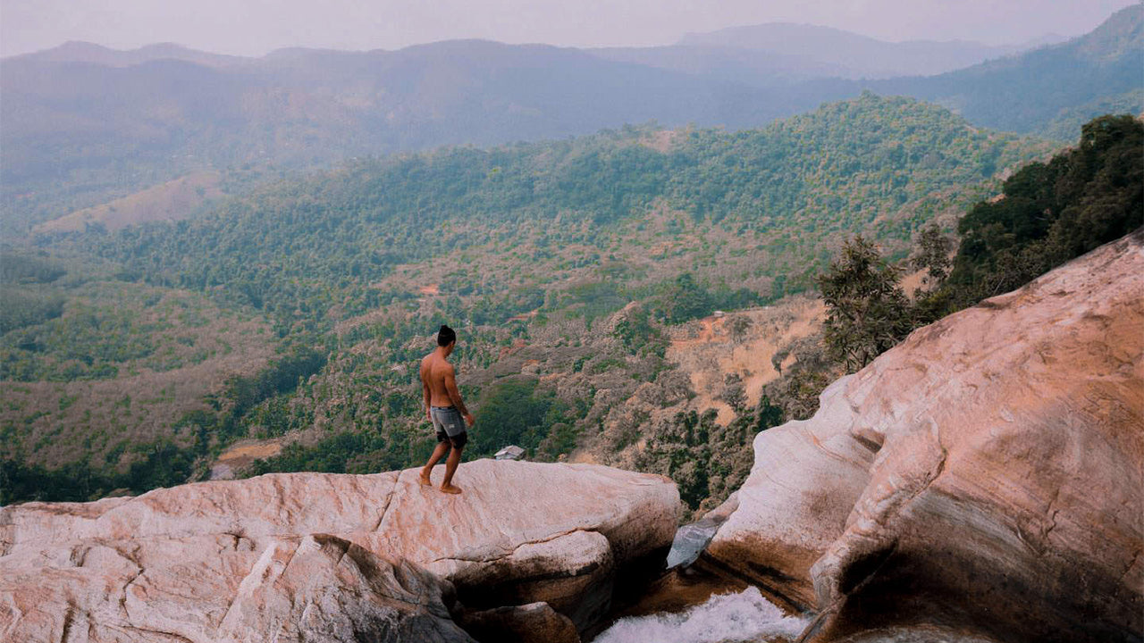
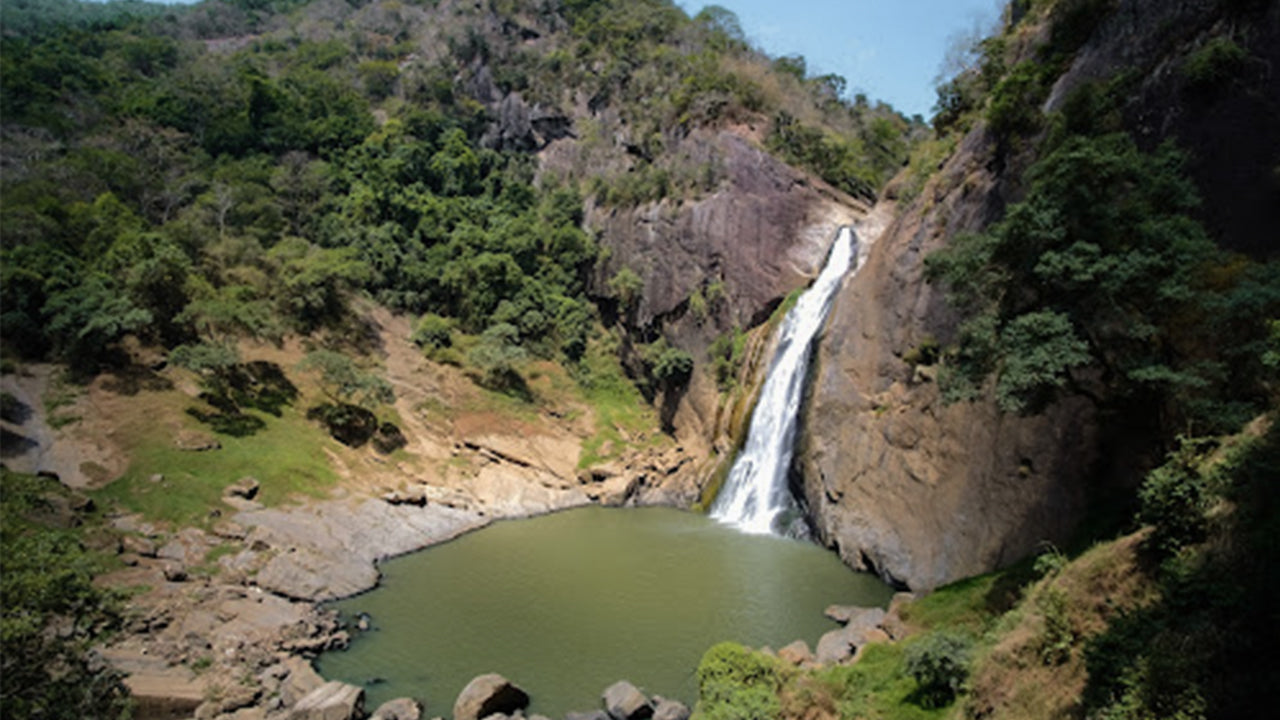 Dunhinda Falls
Dunhinda Falls is situated about 5 km away from Badulla town. It is 63 meters high and is considered to be one of the most beautiful waterfalls in Sri Lanka. The falls gets its name dew to the smoky dew drops spray.