

Mahaweli-Fluss
Der Mahaweli ist mit 335 km der längste Fluss Sri Lankas . Sein Einzugsgebiet ist 10.448 km² groß und damit das größte des Landes. Es bedeckt fast ein Fünftel der Gesamtfläche der Insel. Der Mahaweli Ganga entspringt in Polwathura (in der Gegend von Mahawila), einem abgelegenen Dorf im Distrikt Nuwara-Eliya am Ufer des Nawalapitiya im Distrikt Kandy, wo er mit Hatton Oya und Kotmale Oya zusammenfließt. Der Fluss erreicht den Golf von Bengalen an der südwestlichen Seite der Bucht von Trincomalee . In der Bucht befindet sich der erste einer Reihe von Unterwassercanyons, die Trincomalee zu einem der schönsten Tiefseehäfen der Welt machen.
Im Rahmen des Mahaweli-Entwicklungsprogramms werden der Fluss und seine Nebenflüsse an mehreren Stellen gestaut, um die Bewässerung der Trockenzone zu ermöglichen. Fast 1.000 km² Land werden bewässert. Die Stromerzeugung aus Wasserkraft aus sechs Staudämmen des Mahaweli-Systems deckt mehr als 40 % des Strombedarfs Sri Lankas. Eine der vielen Quellen des Flusses ist der Kotmale Oya.
In Sri Lanka herrscht die falsche Vorstellung, dass der Mahaweli im Berg Sri Pada entspringt. Tatsächlich bezieht der Mahaweli sein Quellwasser aus den Horton Plains in Kirigalpoththa und der Thotupola-Bergkette .
-
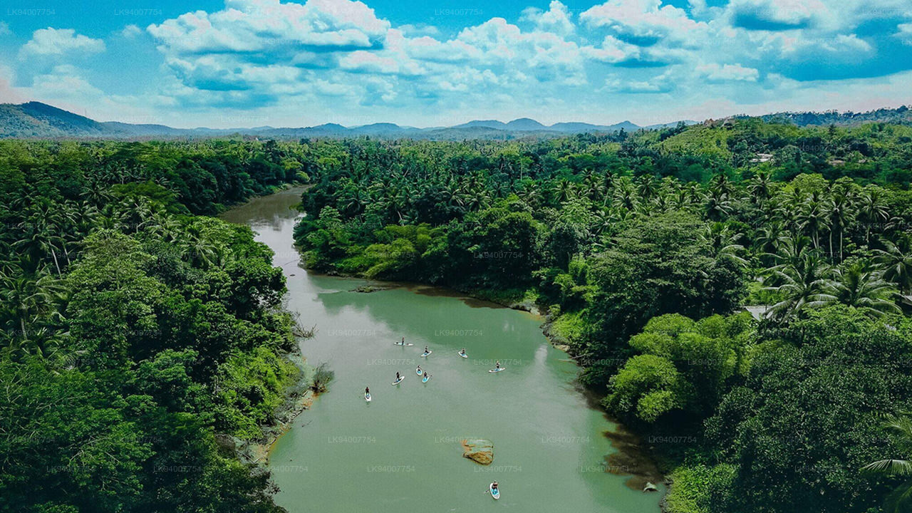
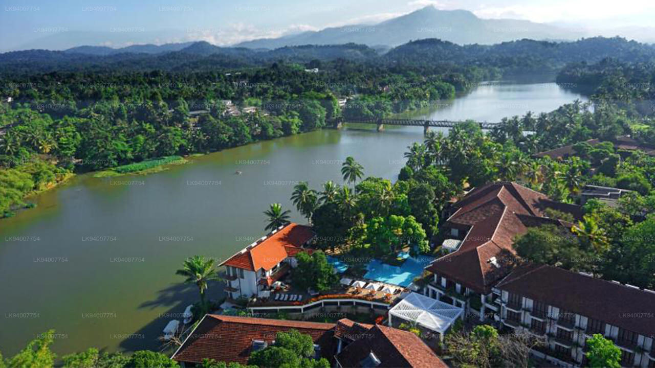
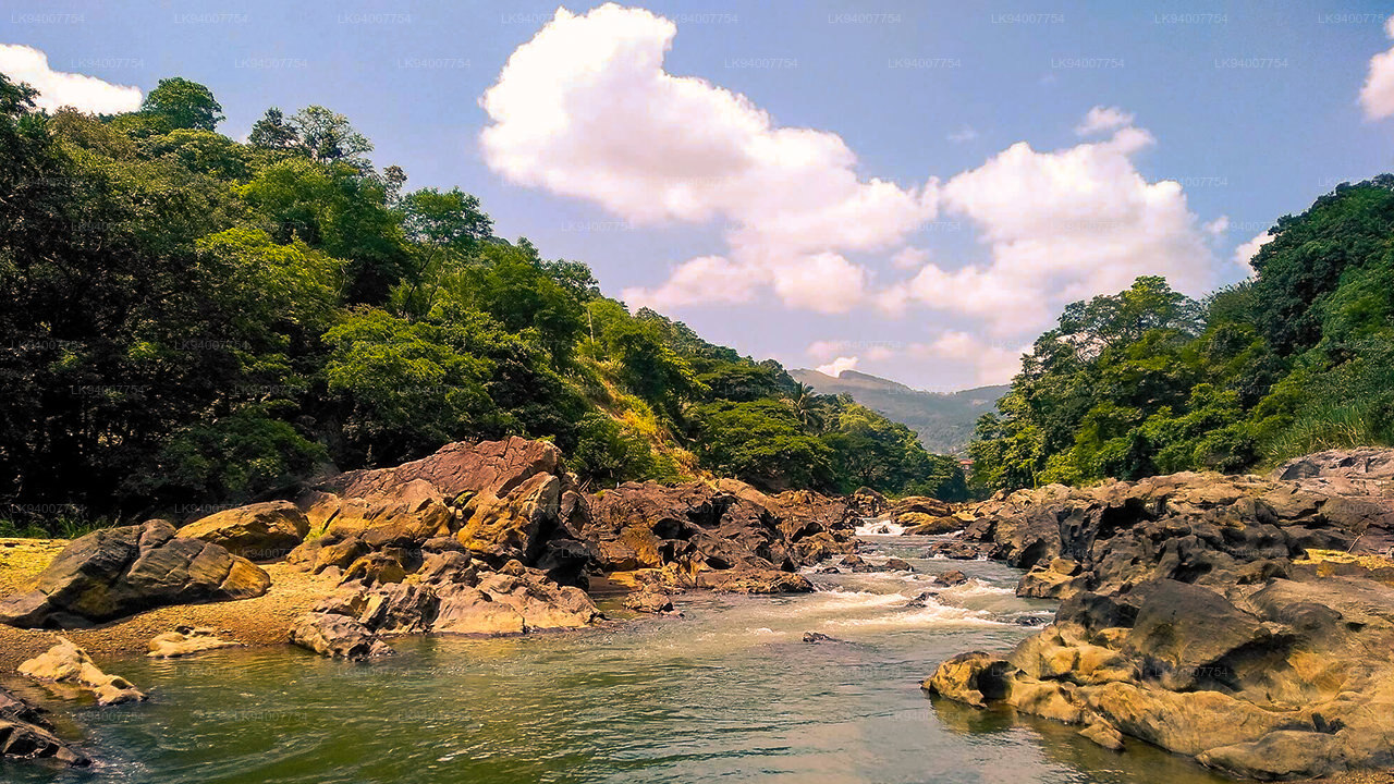
 Mahaweli-Fluss
Erkunden Sie den majestätischen Mahaweli-Fluss, Sri Lankas längsten Fluss, der auf seinem gewundenen Verlauf durch malerische Täler ruhige Bootsfahrten sowie Möglichkeiten zur Vogelbeobachtung und zu Naturabenteuern bietet.
-
 Kelani-Fluss
Der Kelani ist ein 145 Kilometer langer Fluss in Sri Lanka. Als viertlängster Fluss des Landes erstreckt er sich vom Sri-Pada-Gebirge bis nach Colombo. Er durchfließt oder grenzt an die sri-lankischen Distrikte Nuwara Eliya, Ratnapura, Kegalle, Gampaha und Colombo.
-
 Kalu Ganga
Der Kalu Ganga ist ein Fluss in Sri Lanka. Er ist 129 km lang, entspringt in Sri Padhaya und mündet bei Kalutara ins Meer. Der Schwarze Fluss durchfließt die Distrikte Ratnapura und Kalutara und passiert die Stadt Ratnapura. Die Bergwälder der Zentralprovinz und das Sinharaja-Waldreservat sind seine Hauptwasserquellen.
-
 Walawe-Fluss
Die südliche Region Sri Lankas ist reich an faszinierenden Flüssen, darunter der Walawe. Sanft fließt er durch den Udawalawe-Nationalpark und bietet unzähligen Tierarten Lebensraum.
-
 Deduru Oya
Der Deduru-Oya-Staudamm ist ein Erdrutsch, der den Fluss Deduru im Distrikt Kurunegala in Sri Lanka aufstaut. Er wurde 2014 errichtet und dient in erster Linie dazu, etwa eine Milliarde Kubikmeter Wasser für Bewässerungszwecke zurückzuhalten, die sonst ins Meer abfließen würden.
-
 Malwathu Oya
Der Malvathu ist ein langer Fluss in Sri Lanka, der die Stadt Anuradhapura, die über 15 Jahrhunderte lang Hauptstadt des Landes war, mit der Küste von Mannar verbindet. Er ist derzeit der zweitlängste Fluss des Landes und besitzt eine große historische Bedeutung.
-
 Kala Oya
Um diese alten Bewässerungssysteme mit Wassertanks (Wasserspeichern) herum organisierten sich Wirtschaft und Siedlungen der frühen sri-lankischen Gesellschaft zu einer „hydraulischen Zivilisation“.
-
 Gal Oya
Entdecken Sie Gal Oya, ein ruhiges Refugium in Sri Lanka, bekannt für seine üppigen Landschaften, seine reiche Tierwelt und seine beschaulichen Bootssafaris, das einen friedlichen Rückzugsort inmitten von Natur und Tierwelt bietet.
-
 Gin Ganga
Der Gin Ganga ist ein 115,9 km langer Fluss im Distrikt Galle in Sri Lanka. Seine Quellflüsse entspringen im Gongala-Gebirge nahe Deniyaya und grenzen an das Waldreservat Sinharaja.
-
 Kirindi Oya
Erleben Sie die friedvolle Schönheit des Kirindi Oya, eines ruhigen Flusses in Sri Lanka. Genießen Sie malerische Bootsfahrten, üppige Landschaften und die Möglichkeit zur Vogelbeobachtung – eine erholsame Auszeit in der Natur.
-
 Kumbukkan Oya
Der Kumbukkan Oya ist der zwölftlängste Fluss Sri Lankas. Er ist etwa 116 km lang und durchfließt zwei Provinzen und zwei Distrikte. Sein Einzugsgebiet erhält jährlich rund 2.115 Millionen Kubikmeter Niederschlag, wovon etwa 12 Prozent das Meer erreichen.
-
 Maduru Oya
Der Maduru Oya ist ein bedeutender Fluss in der Nordzentralprovinz Sri Lankas. Er ist etwa 135 km lang. Sein Einzugsgebiet erhält jährlich rund 3.060 Millionen Kubikmeter Niederschlag, wovon etwa 26 Prozent das Meer erreichen.
-
 Maha Oya
Der Maha Oya ist ein bedeutender Fluss in der Provinz Sabaragamuwa in Sri Lanka. Er ist etwa 134 km lang und durchfließt vier Provinzen und fünf Distrikte. Der Maha Oya verfügt über 14 Wasserversorgungsnetze, die den Wasserbedarf decken, und mehr als eine Million Menschen leben entlang des Flusses.
-
 Manik-Fluss
Erkunden Sie den friedlichen Manik-Fluss, umgeben von üppigem Grün und einer vielfältigen Tierwelt. Genießen Sie malerische Bootsfahrten und Naturwanderungen – ein erholsames und entspannendes Erlebnis.
-
 Mi Oya
Der Mi Oya ist ein 108 km langer Fluss im Nordwesten Sri Lankas. Er ist der fünfzehntlängste Fluss des Landes. Er entspringt in Saliyagama, fließt in nordwestlicher Richtung und mündet bei Puttalam in den Indischen Ozean.


