Districts
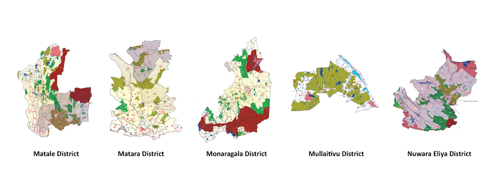
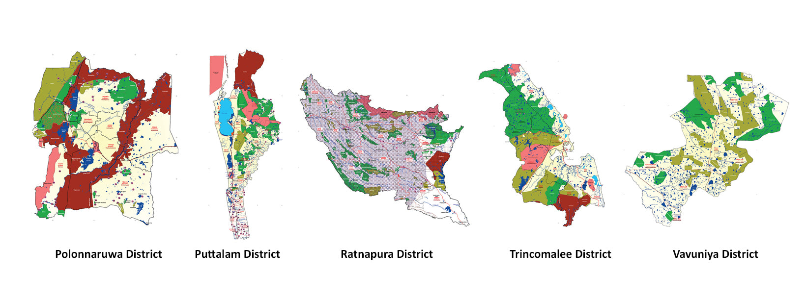
Sri Lanka is divided into 25 districts, each governed by a District Secretary and further subdivided into Divisional Secretariats and Grama Niladhari Divisions. These districts are organized into nine provinces, reflecting the island’s rich cultural and geographical diversity.
Districts
Sri Lanka is divided into 25 districts, each governed by a District Secretary and further subdivided into Divisional Secretariats and Grama Niladhari Divisions. These districts are organized into nine provinces, reflecting the island’s rich cultural and geographical diversity.
Districts
Sri Lanka is divided into 25 districts, each governed by a District Secretary and further subdivided into Divisional Secretariats and Grama Niladhari Divisions. These districts are organized into nine provinces, reflecting the island’s rich cultural and geographical diversity.
Districts
Sri Lanka is divided into 25 districts, each governed by a District Secretary and further subdivided into Divisional Secretariats and Grama Niladhari Divisions. These districts are organized into nine provinces, reflecting the island’s rich cultural and geographical diversity.
Districts
Sri Lanka is divided into 25 districts, each governed by a District Secretary and further subdivided into Divisional Secretariats and Grama Niladhari Divisions. These districts are organized into nine provinces, reflecting the island’s rich cultural and geographical diversity.
Batticaloa-Distrikt
Batticaloa ist eine bedeutende Stadt in der Östlichen Provinz, Sri Lanka, und war ihre ehemalige Hauptstadt. Sie ist die administrative Hauptstadt des Batticaloa-Distrikts. Die Stadt ist Sitz der Eastern University of Sri Lanka und eine wichtige Handelsstadt. Sie liegt an der Ostküste, 111 Kilometer (69 Meilen) südlich von Trincomalee und befindet sich auf einer Insel. Pasikudah ist ein beliebtes Touristenziel, das 35 km nordwestlich mit Stränden und flachen, das ganze Jahr über warmen Lagunen bekannt ist.
Batticaloa ist eine portugiesische Ableitung. Der ursprüngliche Name der Region war das Tamilische "Matakkalappu". Laut dem "Mattakallappu Manmiyam" setzt sich das Wort Mattakkallpu aus den Tamil-Wörtern "Mattu" (Matta) abgeleitet von "Mattam", was "flach" bedeutet, und dem geografischen Namen KaLappu zusammen. Mukkuwa benannte diesen Ort als KaLappu-Mattam oder die Grenze der Lagune, später wurde es zu Matta-Kallappu oder Flache Lagune. Außerdem hat Batticaloa den Spitznamen "Land der singenden Fische" aufgrund der musikalischen Geräusche, die mit Fischen oder Wasserlebewesen in der Batticaloa-Lagune in der Nähe der Kallady-Brücke in Verbindung gebracht werden. BBC Radio 4 konnte das mysteriöse Geräusch in der Batticaloa-Lagune aufnehmen. Der Klang wurde in den 1960er Jahren mit Hilfe von Pfarrer Lang, einem katholischen Priester, von der Sri Lanka Broadcasting Corporation ausgestrahlt.
Batticaloa liegt an der Ostküste von Sri Lanka auf einer flachen Küstenebene, die im Osten vom Indischen Ozean begrenzt wird und einen zentralen Teil des östlichen Sri Lankas einnimmt. Die durchschnittliche Höhe beträgt etwa 5 Meter. Der Batticaloa-Distrikt hat drei Lagunen wie die Batticaloa-Lagune, Valaichchenai-Lagune und Vakari (Panichchankerni) Lagune. Unter diesen Lagunen ist die Batticaloa-Lagune die größte Lagune mit einer Länge von 56 km und einer Fläche von 162 km², die sich von Pankudaweli im Norden bis Kalmunai im Süden erstreckt.
In der Batticaloa-Lagune gibt es mehrere Inseln, wie Puliayantheevu, Buffaloa Island und Bone Island. Viele Brücken wurden über die Lagune gebaut, die das Festland mit den Inseln verbinden. Puliayantheevu ist der städtische Bereich der Stadt. Die größte Brücke von allen ist die Lady Manning Bridge, die sich in Kallady befindet, welche den wichtigsten Zugang zur Stadt von den südlichen Teilen des Bezirks bildet. Die Strände von Batticaloa sind sandig und verlaufen entlang einer 4 km langen Küstenlinie in der Stadt und erstrecken sich weiter durch die angrenzenden Gebiete. Dazu gehören der Kallady-Strand, Pasikudah und Kalkudah. Pasikudah ist eine von Ozean geschützte Bucht mit einem flachen und sandigen Boden, der sich 150 bis 200 Meter vom Ufer entfernt erstreckt.
Batticaloa hat ein tropisches Regen- und Trockenklima gemäß der Köppen-Klimaklassifikation, das auch allgemein als 'trocken-monsunales Klima' bezeichnet wird. Das Klima in Batticaloa ist das ganze Jahr über gemäßigt. Von März bis Mai, der wärmsten Zeit des Jahres, liegt die maximale Temperatur im Durchschnitt bei etwa 32 Grad Celsius (88 Grad Fahrenheit). Während der Monsunzeit von November bis Februar werden starke Regenfälle aufgezeichnet, mit einer Durchschnittstemperatur von 25 °C. Der durchschnittliche Jahresniederschlag in Batticaloa beträgt 1.650,9 mm (65,00 Zoll).
Districts of Sri Lanka
-
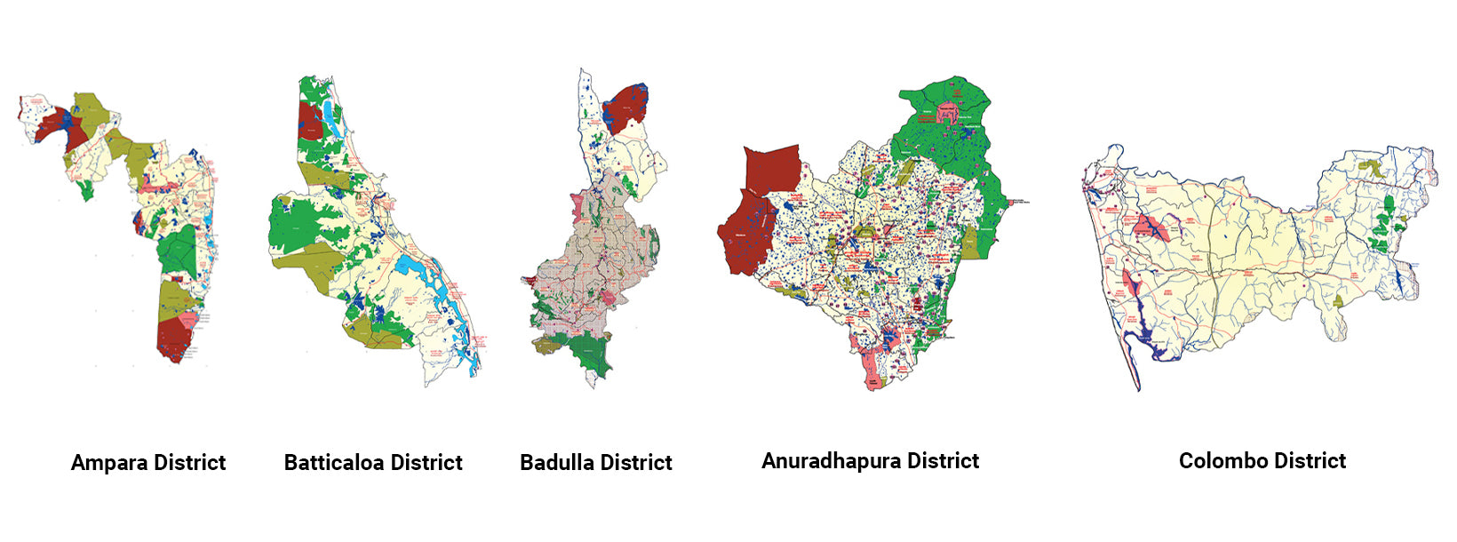
Ampara DistrictA district rich in agriculture, Ampara offers pristine beaches, historical Buddhist sites, and a diverse cultural landscape.
-
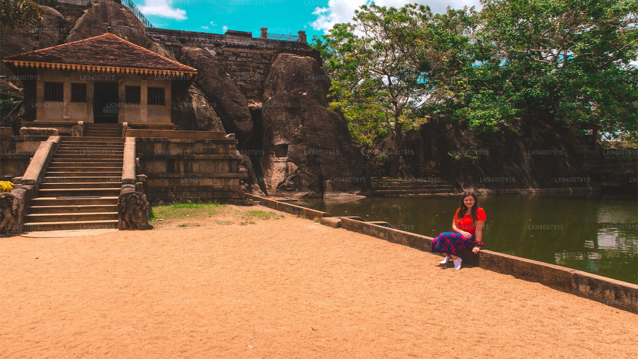
Anuradhapura DistrictOne of the ancient capitals, Anuradhapura is a UNESCO World Heritage Site, rich with historic Buddhist monuments and temples.
-
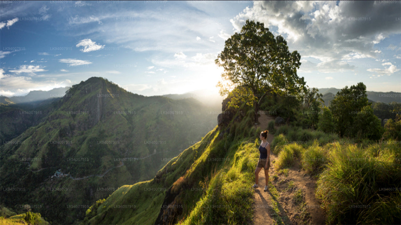
Badulla DistrictBadulla is a scenic district surrounded by mountains, tea plantations, and stunning waterfalls, offering a peaceful retreat.
-
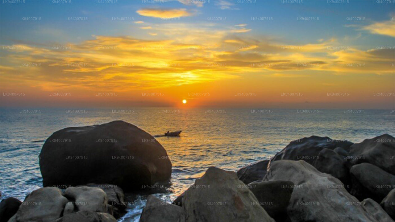
Batticaloa DistrictKnown for its lagoons and beaches, Batticaloa is a serene district with a rich blend of Tamil and Muslim culture.
-
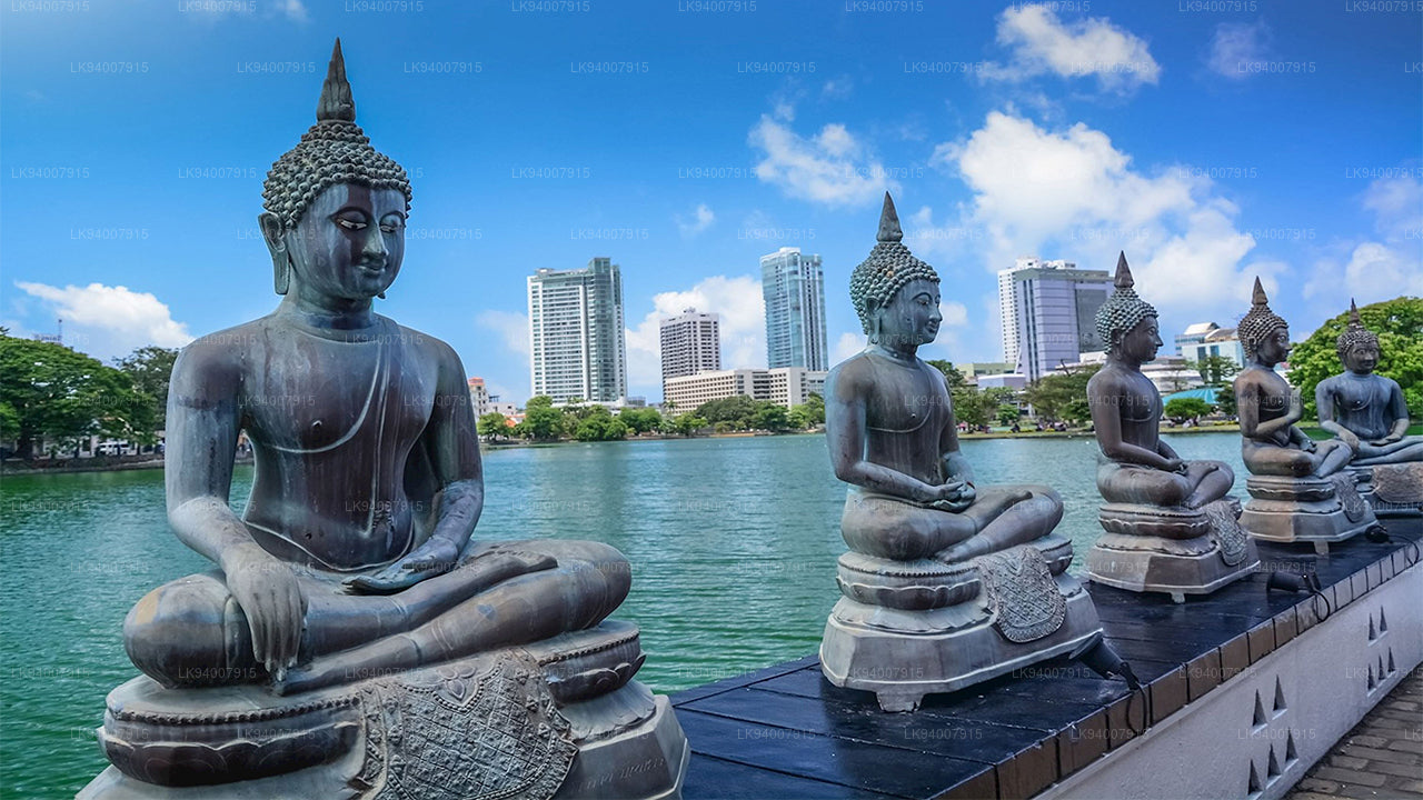
Colombo DistrictSri Lanka’s bustling commercial capital, Colombo is a vibrant metropolis known for its urban landscape, colonial architecture, and coastal beauty.
-
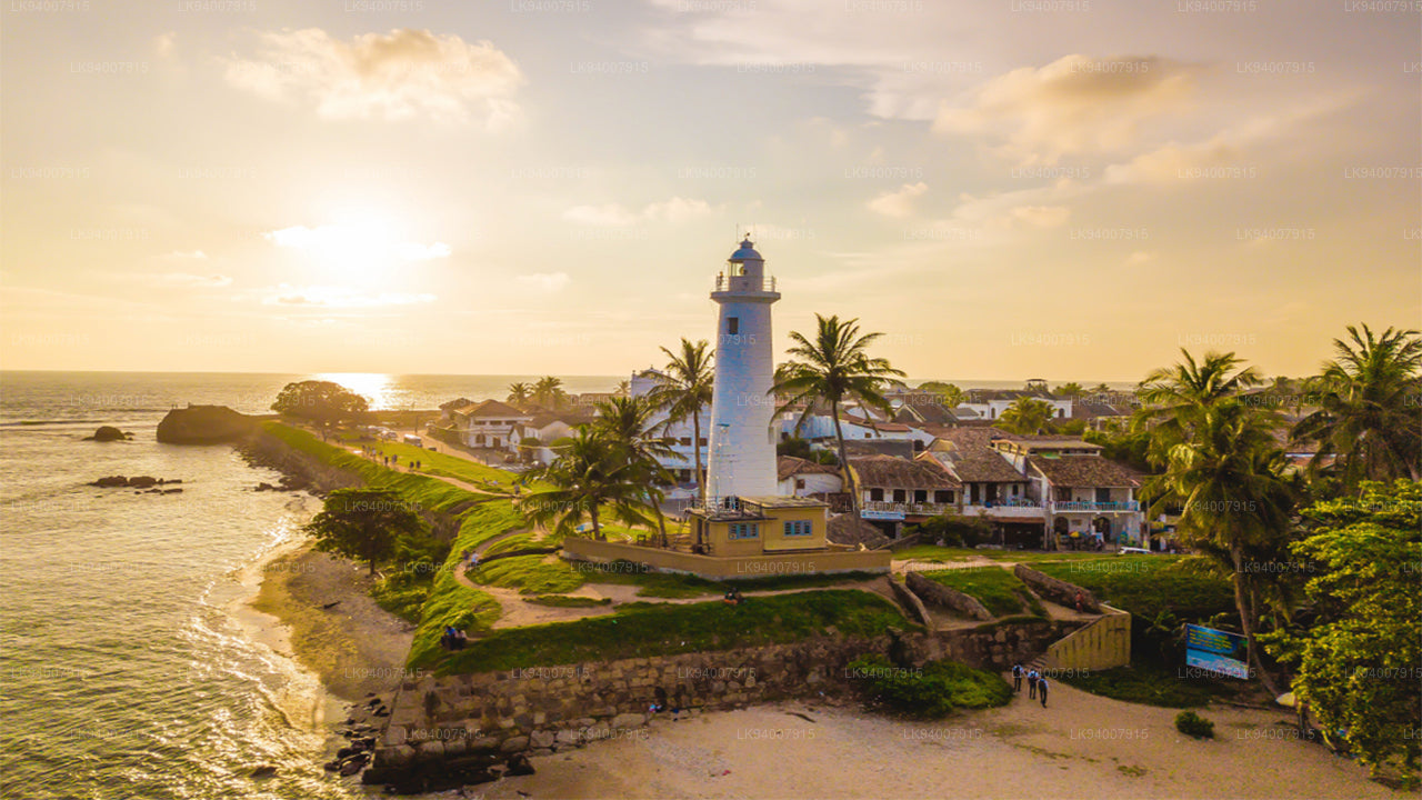
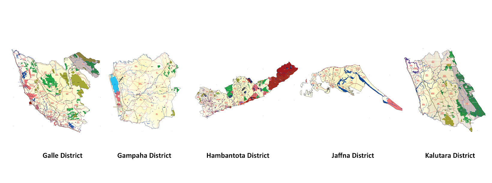
Galle DistrictA historic coastal district, Galle is famous for its UNESCO-listed Dutch Fort, pristine beaches, and rich colonial history.
-
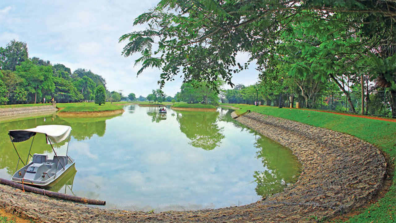
Gampaha DistrictA district blending urban and rural life, Gampaha is home to the Katunayake Airport and scenic beaches.
-
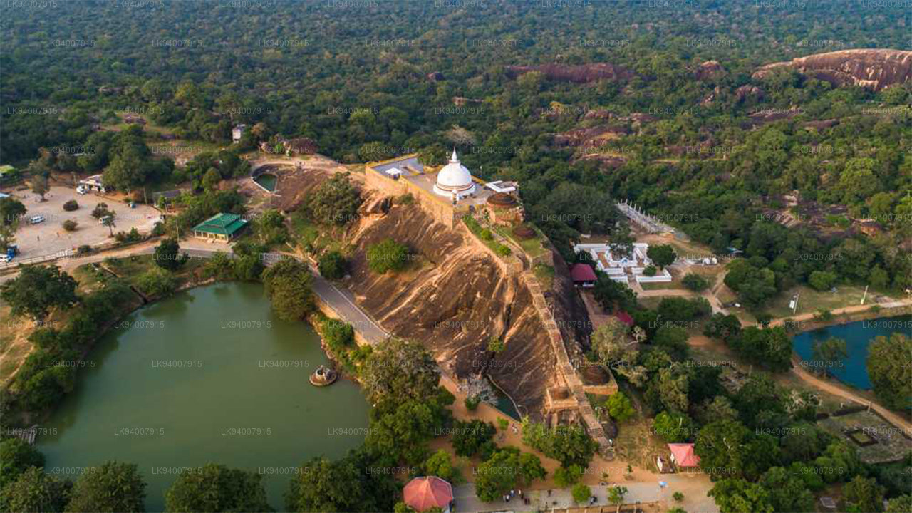
Hambantota DistrictKnown for its wildlife parks, including Yala and Bundala, Hambantota is a growing hub of development and eco-tourism.
-
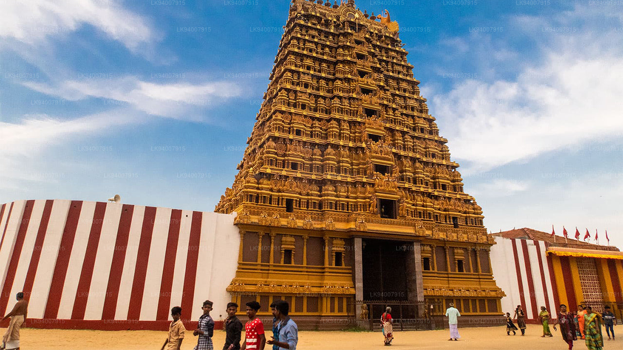
Jaffna DistrictThe cultural center of Tamil heritage, Jaffna is known for its historic temples, vibrant culture, and rich history.
-
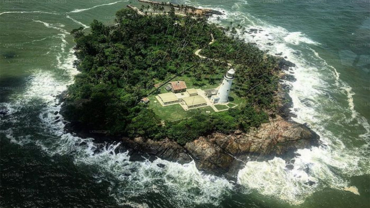
Kalutara DistrictKnown for its historic Kalutara Bodhiya and beautiful beaches, Kalutara offers coastal charm and religious significance.
-
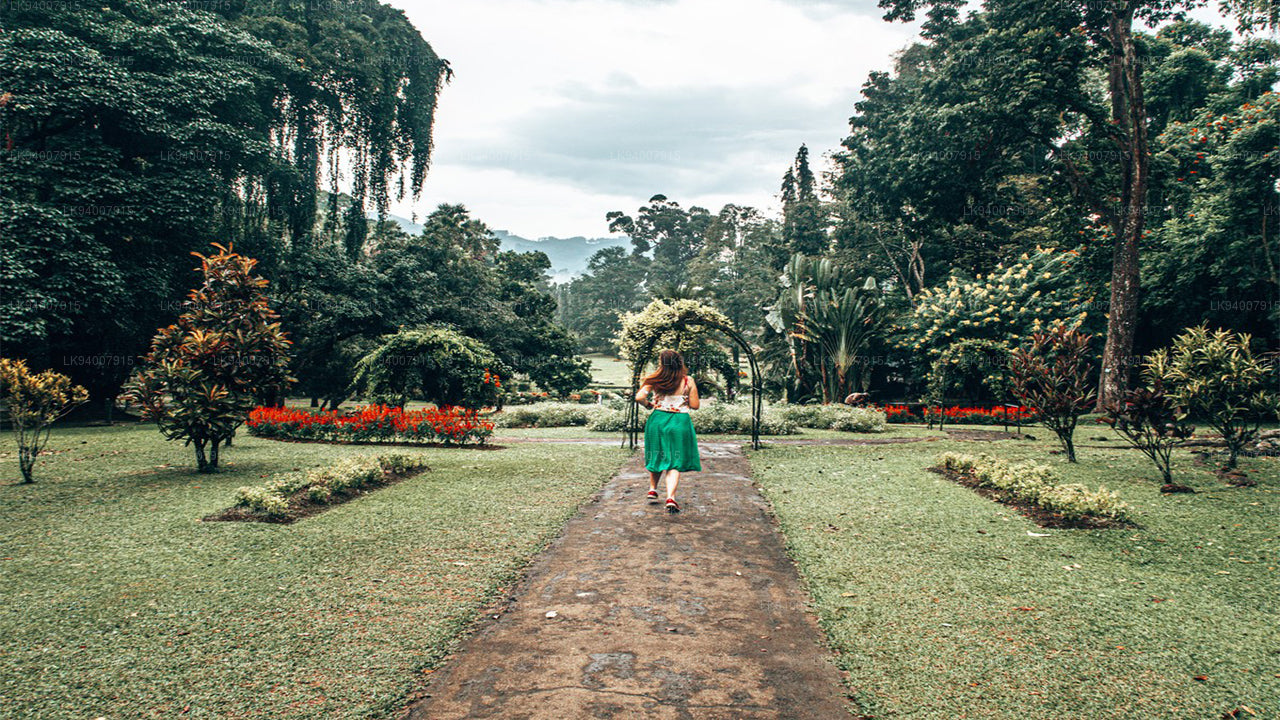
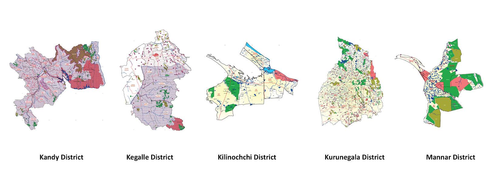
Kandy DistrictFamous for the Temple of the Tooth and its stunning lake, Kandy is the cultural heart of Sri Lanka and a UNESCO World Heritage Site.
-
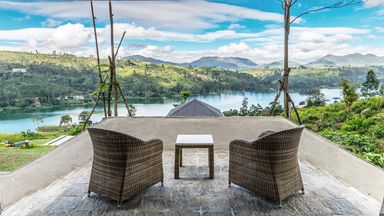
Kegalle DistrictKegalle is known for its rubber plantations and the Pinnawala Elephant Orphanage, a popular tourist attraction.
-
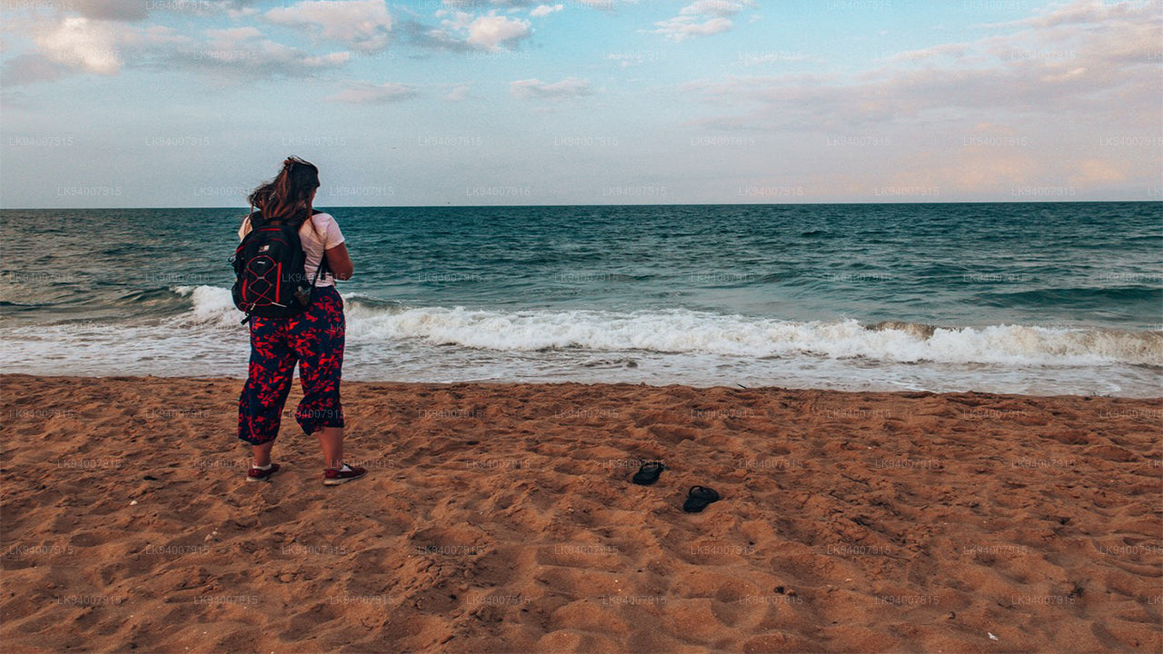
Kilinochchi DistrictA primarily agricultural district, Kilinochchi has seen rapid post-war development and is home to numerous water resources.
-
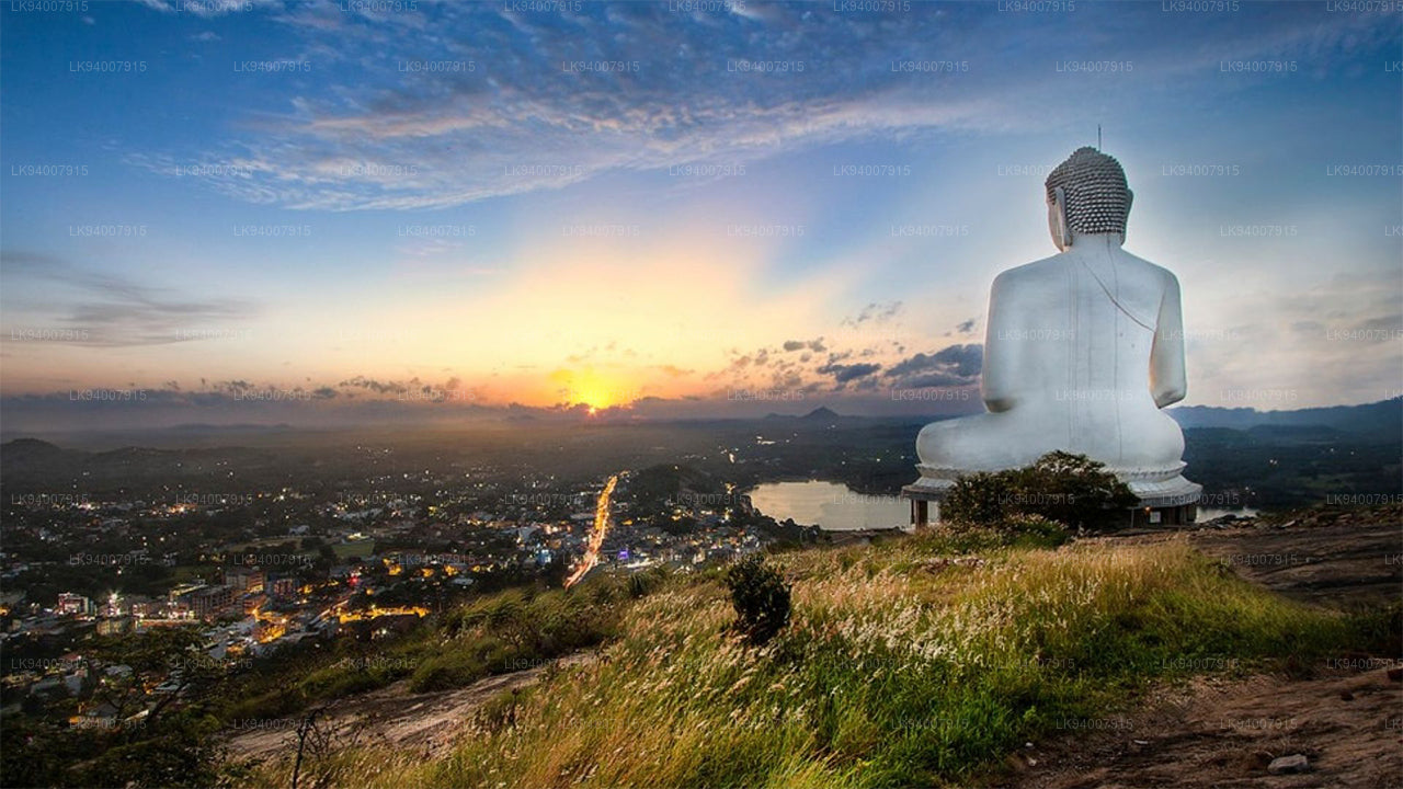
Kurunegala DistrictFamous for its elephant rock, Kurunegala is an agricultural hub surrounded by historic ruins and religious sites.
-
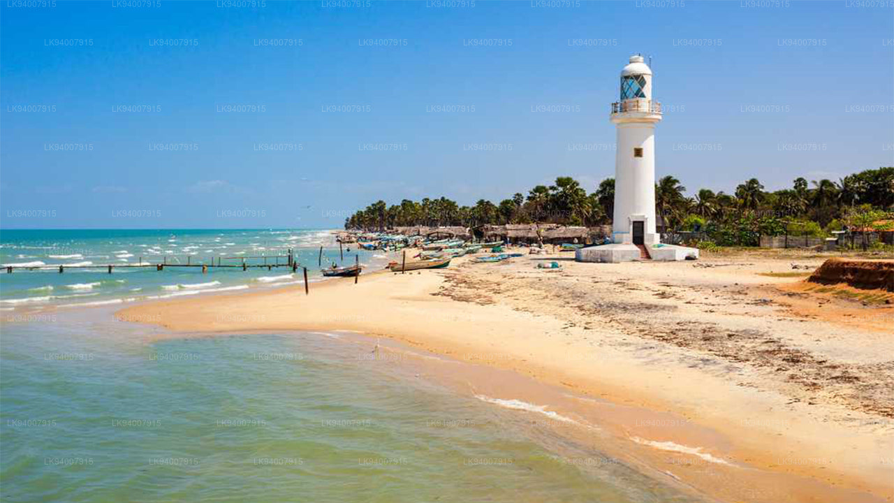
Mannar DistrictFamous for its unique landscapes, pearl fisheries, and the historic Mannar Fort, this district has a rich maritime history.
-
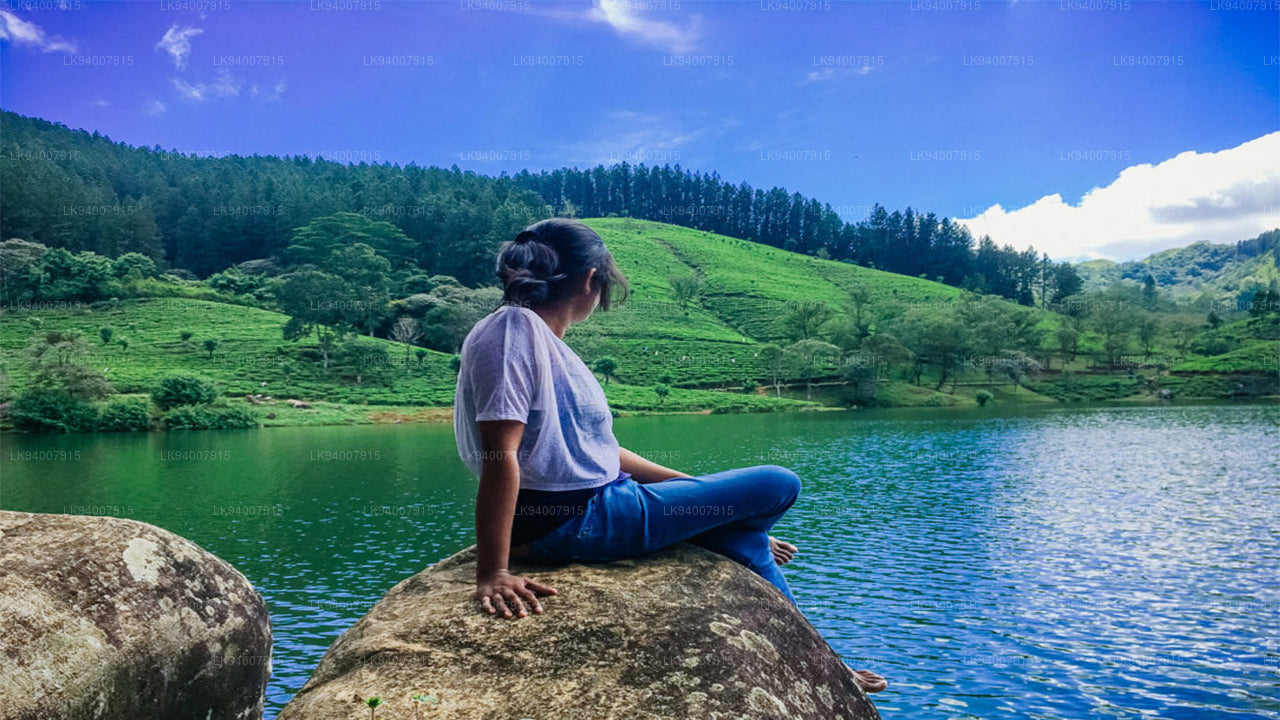
Matale DistrictA district filled with spice plantations, waterfalls, and historic temples, Matale offers scenic natural beauty.
-
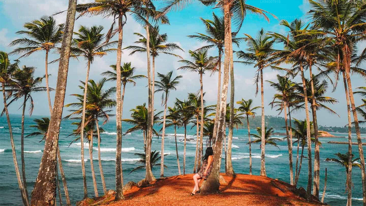
Matara DistrictMatara boasts stunning beaches, the Dondra Head lighthouse, and a mix of coastal and cultural attractions.
-
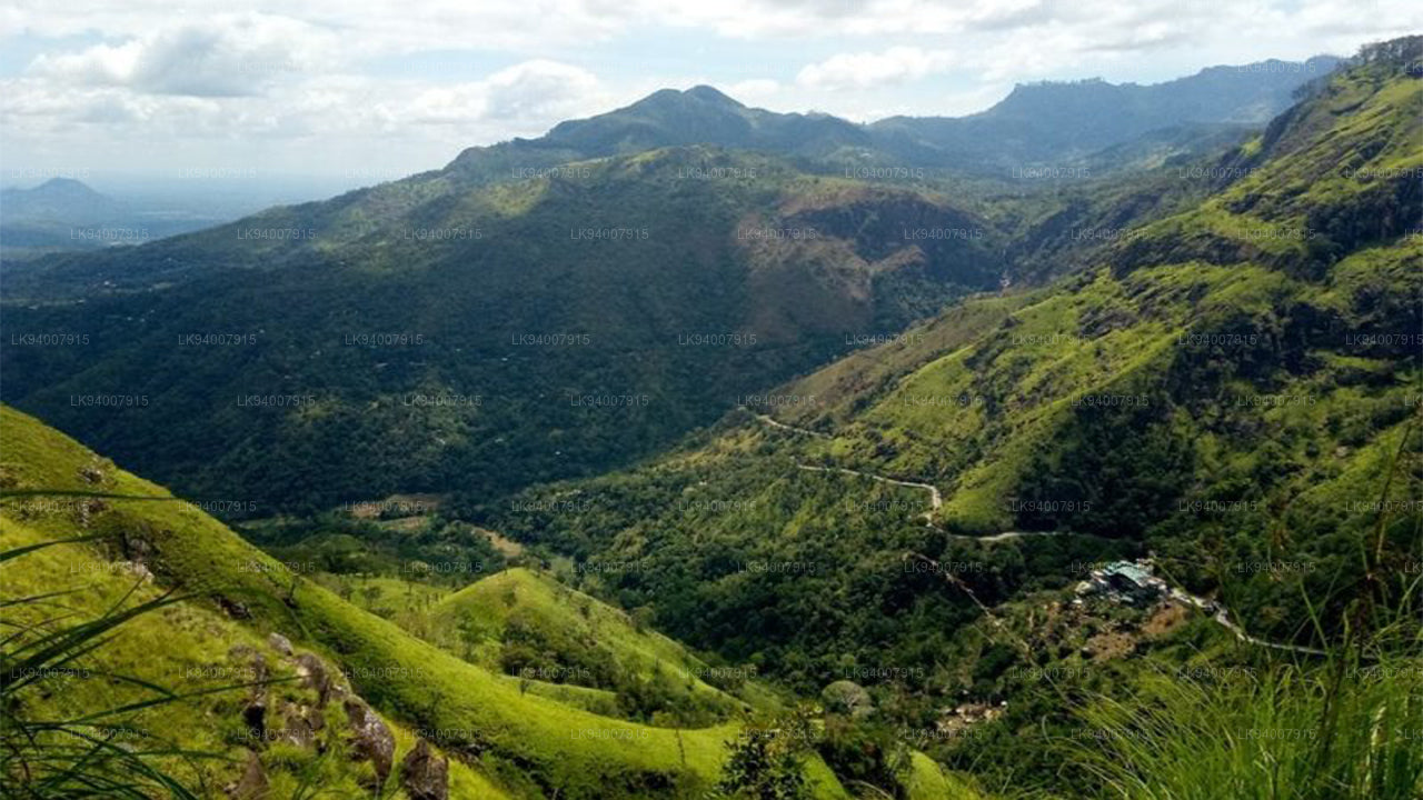
Monaragala DistrictKnown for its rugged landscapes and rich biodiversity, Monaragala is an agricultural district with vast natural beauty.
-
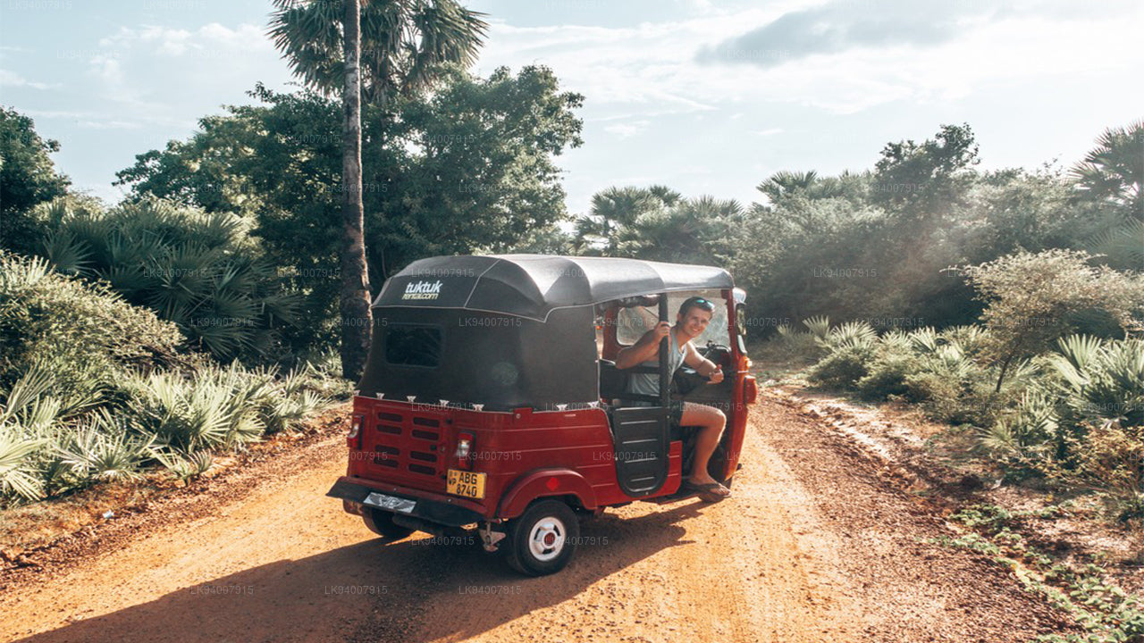
Mullaitivu DistrictA largely rural and coastal district, Mullaitivu is known for its beaches and significant history during the civil conflict.
-
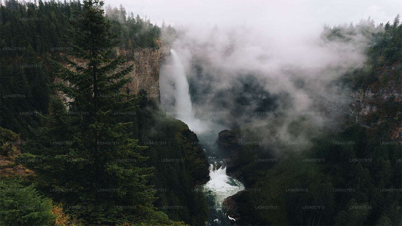
Nuwara Eliya DistrictOften called "Little England," Nuwara Eliya is renowned for its cool climate, tea plantations, and colonial architecture.
-
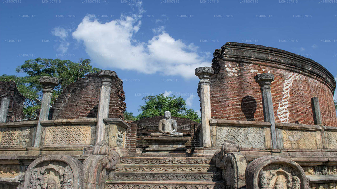
Polonnaruwa DistrictPolonnaruwa is a treasure trove of ancient ruins, including the famous Gal Vihara, and a key archaeological site.
-
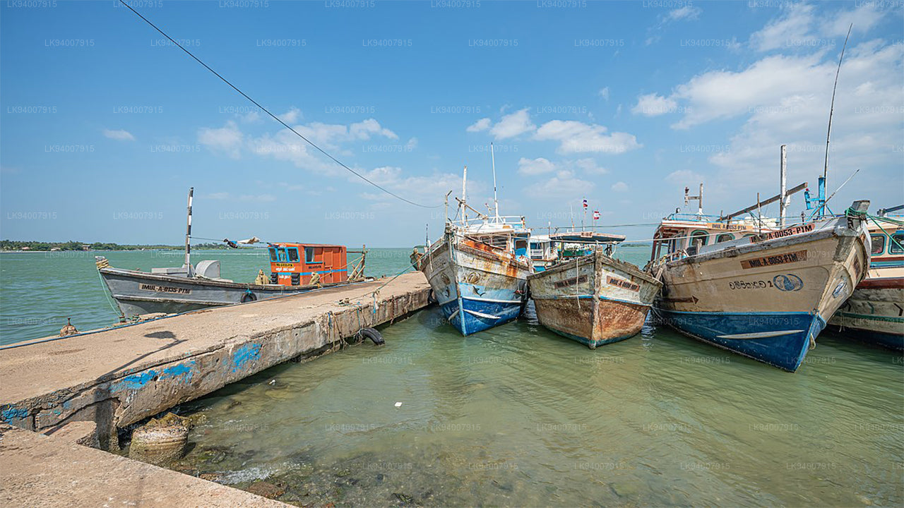
Puttalam DistrictPuttalam is known for its coastal lagoons, wildlife sanctuaries, and salt production, along with a growing wind energy sector.
-
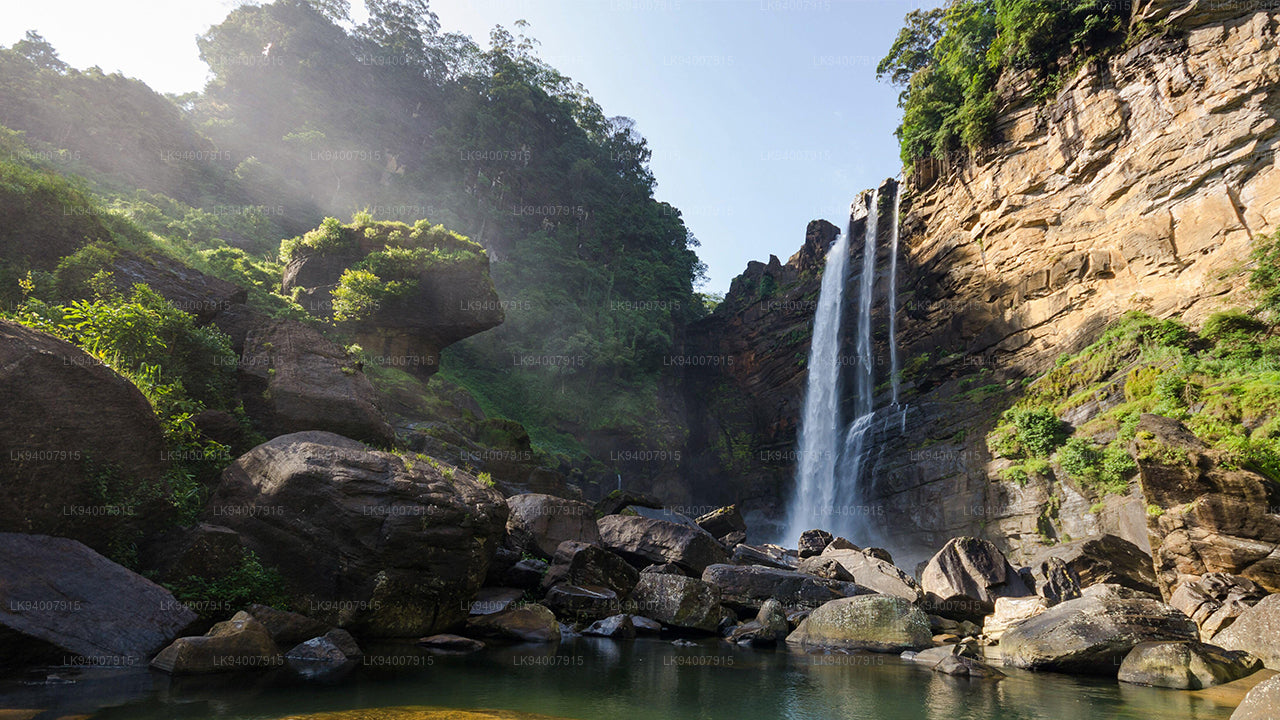
Ratnapura DistrictThe "City of Gems," Ratnapura is famous for its gem mining and lush green landscapes filled with waterfalls and tea estates.
-
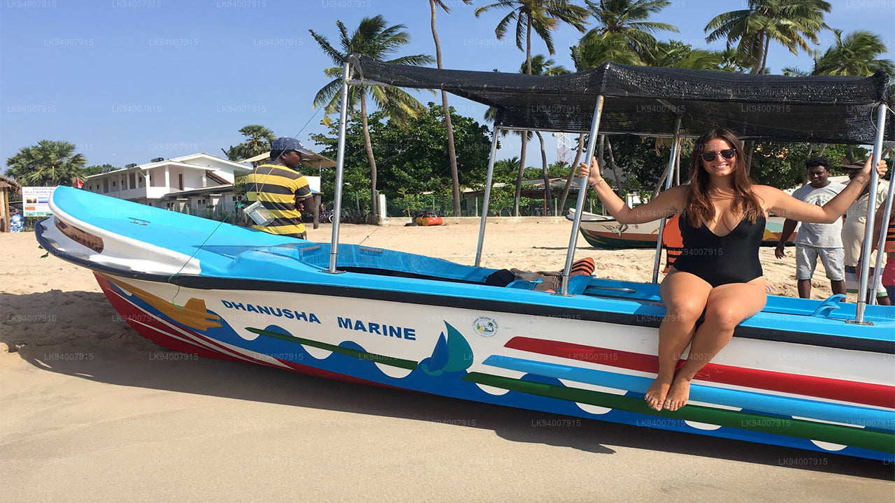
Trincomalee DistrictA coastal gem, Trincomalee is home to beautiful beaches, historic Hindu temples, and one of the world’s finest natural harbors.
-
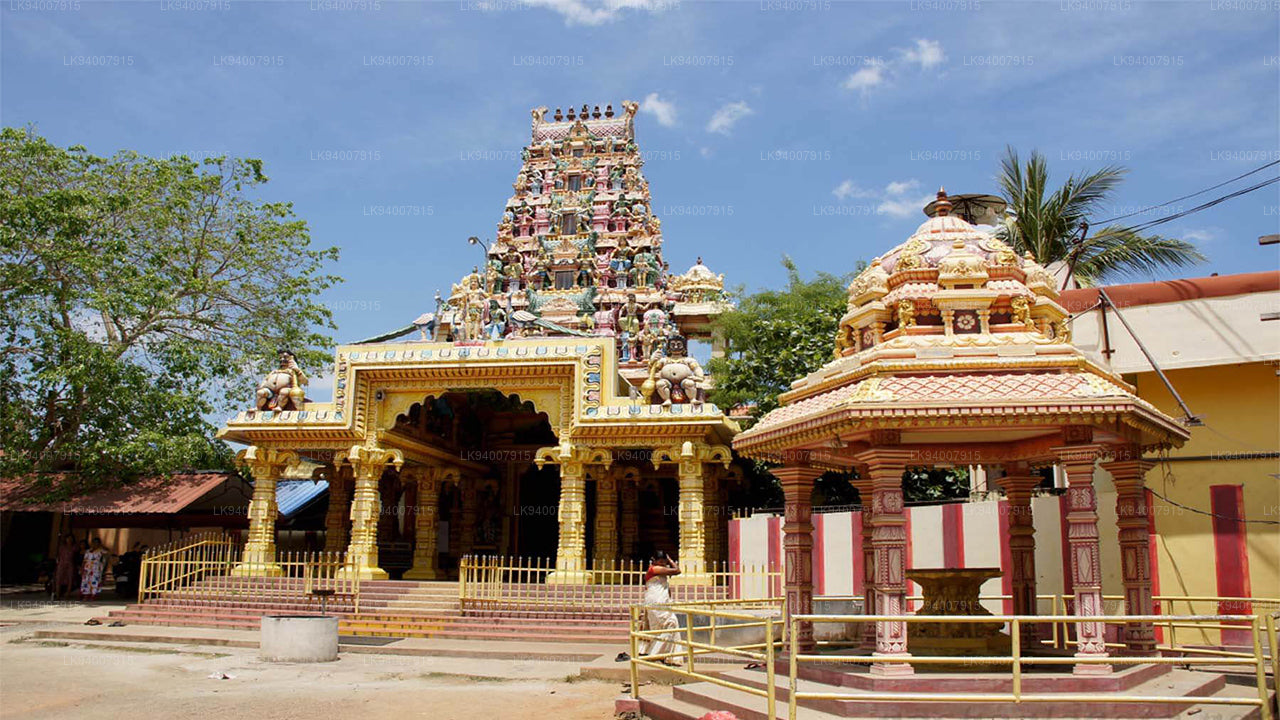
Vavuniya DistrictA key transit hub between the north and south, Vavuniya is known for its agriculture and growing urbanization.