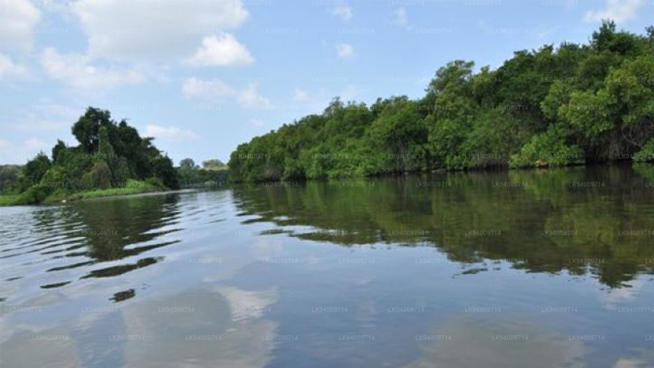
Rzeka Walawe


Walawe Ganga to ważna rzeka, która przepływa przez południową i centralną część Sri Lanki, mając swoje źródło w centralnych górach w pobliżu Parku Narodowego Udawalawe. Przepływając przez regiony Ratnapura, Matara i Hambantota, rzeka dostarcza wodę niezbędną dla rolniczych terenów południowych i suchych stref Sri Lanki. Jej przebieg przez malownicze doliny, równiny i niziny czyni ją ważnym elementem naturalnym w regionie, szczególnie dla społeczności, które polegają na jej wodach do celów rolniczych i codziennego użytku.
Rzeka Walawe jest kluczowym źródłem nawadniania, wspierając wielkoskalową produkcję rolną w południowej części wyspy. Przepływ wody z rzeki nawadnia rozległe pola ryżu, owoce i warzywa, zapewniając bezpieczeństwo żywnościowe wielu rodzinom wiejskim. Ponadto, utworzone przez rzekę Walawe Zbiornik Udawalawe jest niezbędne do regulacji zaopatrzenia w wodę w regionie oraz do produkcji energii elektrycznej za pomocą elektrowni wodnej Udawalawe, co czyni go kluczowym zasobem zarówno dla rolnictwa, jak i produkcji energii na Sri Lance.
Pod względem ekologicznym, rzeka wspiera różnorodne siedliska, zwłaszcza wokół Parku Narodowego Udawalawe, który jest głównym rezerwatem dzikiej przyrody w kraju. Wody rzeki żywią mokradła i brzegi rzek, co jest kluczowe dla wspierania bioróżnorodności, w tym słoni, bawołów wodnych, ptaków i innych gatunków dzikich zwierząt. Walawe Ganga przyczynia się do bogatych ekosystemów parku, który jest popularnym celem turystyki ekologicznej, fotografii dzikiej przyrody oraz safari. Ekologiczne znaczenie tej rzeki jest zatem nierozerwalnie związane z wysiłkami na rzecz ochrony środowiska w regionie.
Kulturowo, Walawe Ganga ukształtowała historię prowincji południowej, odgrywając istotną rolę w rozwoju systemów nawadniania, które sięgają czasów starożytnego Sri Lanki. Rzeka nadal odgrywa kluczową rolę w życiu lokalnej ludności, wspierając wiejskie osady, wspólnoty rolnicze oraz zapewniając wodę do codziennego użytku. Jako ważne źródło wody, ma również znaczną wartość kulturową i duchową dla społeczności mieszkających wzdłuż jej brzegów.
Ryzyko powodzi i znaczenie hydrologiczne
Rzeka Walawe, chociaż niezbędna dla rolnictwa i produkcji energii, jest również podatna na ryzyko powodzi podczas intensywnych deszczy monsunowych. Zrozumienie jej zachowań hydrologicznych jest kluczowe dla skutecznego zarządzania powodziami w południowej i centralnej części Sri Lanki.
-
Aktualne pomiary hydrologiczne (raport oficjalny):
Stacja Moraketiya – Poziom ostrzeżenia: 3,00 m, Poziom powodzi mniejszych rozmiarów: 5,00 m, Poziom powodzi większych rozmiarów: 7,00 m, Aktualny poziom: 4,78 m (ostrzegawcze, rosnące). - Obszary zagrożone powodzią: Osiedla nisko położone oraz tereny rolnicze w pobliżu Ratnapura, Moraketiya i sąsiednich regionów są narażone na powodzie podczas intensywnych opadów deszczu.
- Wrażliwość dorzecza: Dorzecze rzeki, w tym centralne góry, może doświadczać szybkiego spływu wody podczas silnych deszczy monsunowych, co znacznie zwiększa przepływ wody w dół rzeki.
- Wpływ na rolnictwo: Nagłe podniesienie poziomu wody w rzece może spowodować wylanie wód z kanałów irygacyjnych, uszkodzenie upraw oraz powstawanie zastoisk wodnych na polach.
- Powolne odpływanie w strefach przybrzeżnych: Gdy rzeka zbliża się do równiny przybrzeżnej, woda rozprasza się powoli, co zwiększa ryzyko długotrwałych powodzi w obszarach rolniczych.
- Ryzyko miejskie: Miasto Matara i okoliczne osiedla miejskie są narażone na podwyższony poziom wód podczas sezonu deszczowego, co wymaga skutecznych strategii zarządzania powodziami.
- Potrzeba ciągłego monitorowania: Monitorowanie poziomów wody w stacji Moraketiya jest kluczowe dla przewidywania wydarzeń powodziowych i zarządzania ich wpływem na otaczające społeczności.
Mimo swojej kluczowej roli w utrzymaniu rolnictwa i produkcji energii, Walawe Ganga jest wrażliwa na opady deszczu i ryzyko powodzi, dlatego stałe monitorowanie i strategie zarządzania powodziami są niezbędne, aby zminimalizować ryzyko dla społeczności i przemysłu zależnych od niej.


-
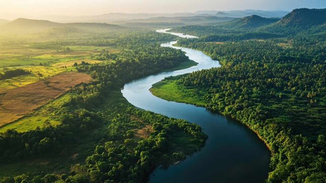 Mahaweli River
Explore the majestic Mahaweli River, Sri Lanka’s longest river, offering serene boat rides and opportunities for birdwatching and nature adventures along its winding course through scenic valleys.
-
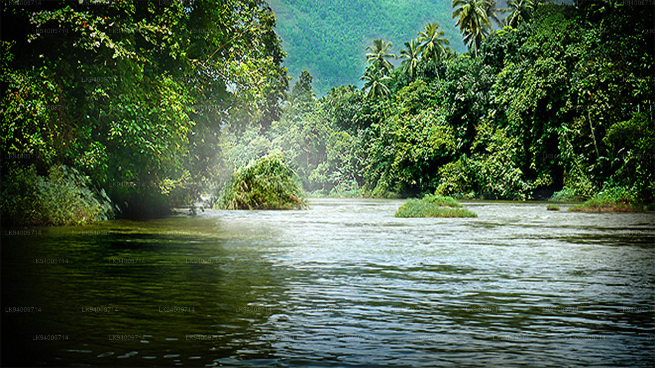 Kelani River
The Kelani River is a 145-kilometre-long (90 mi) river in Sri Lanka. It flows through or borders the Sri Lankan districts of Nuwara Eliya, Ratnapura, Kegalle, Gampaha and Colombo.
-
 Kalu Ganga
Kalu Ganga is a river in Sri Lanka. Measuring 129 km (80 mi) in length. The mountainous forests in the Province and the Sinharaja Forest Reserve are the main sources of water for the river.
-
 Walawe River
The southern region of Sri Lanka is exalted by a bushel of enthralling and glorified rivers and the Walawe River is one of them. Gently flowing through the Udawalawe National Park, the Walawe River provides water for a multitude of species of mesmerising fauna.
-
 Deduru Oya
The Deduru Oya Dam is an embankment dam built across the Deduru River in Kurunegala District of Sri Lanka. Built in 2014, the primary purpose of the dam is to retain approximately a billion cubic metres of water for irrigation purposes, which would otherwise flow out to sea.
-
 Malwathu Oya
The Malvathu River long river in Sri Lanka, connecting the city of Anuradhapura, which was the capital of the country for over 15 centuries, to the coast of Mannar. It currently ranks as the second longest river in the country, with a great historic significance.
-
 Kala Oya
It was around these ancient tank (water storage reservoir) irrigation systems that the economy and human settlements of early Sri Lankan society were organised into a “hydraulic civilization”.
-
 Gal Oya
Discover Gal Oya, a tranquil sanctuary in Sri Lanka, known for its lush landscapes, rich wildlife, and serene boat safaris, offering a peaceful retreat surrounded by nature and wildlife.
-
 Gin Ganga
The Gin Ganga, is a 115.9 km (72 mi) long river situated in Galle District of Sri Lanka. The river's headwaters are located near Deniyaya, bordering the Sinharaja Forest Reserve.
-
 Kirindi Oya
Experience the serene beauty of Kirindi Oya, a tranquil river in Sri Lanka. Enjoy scenic boat rides, lush landscapes, and opportunities for birdwatching, offering a peaceful escape into nature.
-
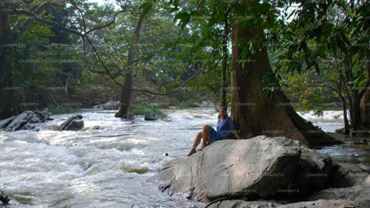 Kumbukkan Oya
The Kumbukkan Oya is the twelfth-longest river of Sri Lanka. It is approximately 116 km (72 mi) long. Its catchment area receives approximately 2,115 million cubic metres of rain per year.
-
 Maduru Oya
The Maduru Oya is a major stream in the North Central Province of Sri Lanka. It is approximately 135 km (84 mi) in length. approximately 3,060 million cubic metres of rain per year
-
 Manik River
Explore the peaceful Manik River, surrounded by lush greenery and rich wildlife. Enjoy scenic boat rides and nature walks, offering a serene and refreshing experience.
-
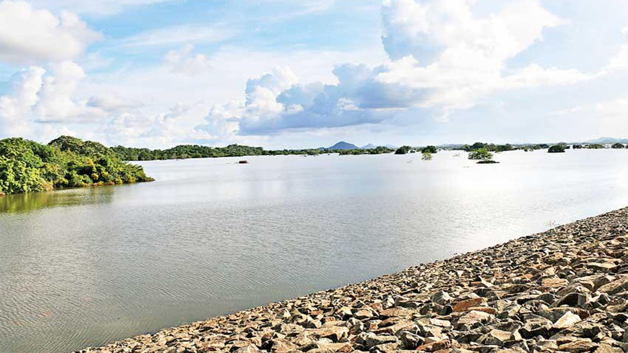 Yan Oya
The Yan Oya, 142 km long and receives 2,371 million cubic meters of rainfall annually, with 17% flowing to the sea. Its catchment area covers 1,520 square kilometers.