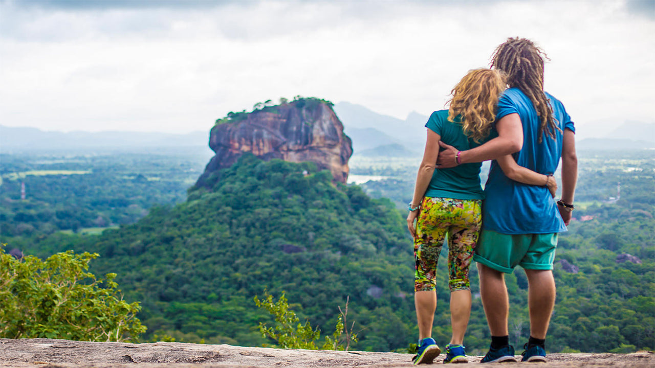
Namunukula


Namunukula é uma cadeia montanhosa localizada perto de Badulla, a capital da província de Uva, nas terras altas do sudeste do Sri Lanka. Com uma altitude de 2.035 metros acima do nível do mar, está entre as 12 montanhas mais altas do país e é o pico mais elevado na parte oriental da cordilheira sul, que se estende de Siri Pada (Pico de Adão) no oeste até Namunukula no leste. A montanha domina as regiões de Spring Valley e Passara, conhecidas por suas plantações de chá, e faz parte da famosa região produtora de chá de Uva, que se estende por cerca de 40 km desde Horton Plains.
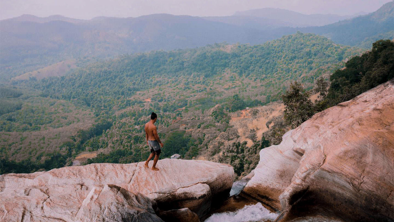
Várias trilhas levam ao planalto de Namunukula, sendo a mais fácil aquela que começa perto da passagem entre Spring Valley e Passara. A passagem é fácil de encontrar, pois há apenas uma estrada que atravessa a área. Basta seguir a estrada B97 através de Spring Valley em direção a Demodara, virar à esquerda na loja no centro da vila e continuar pela estrada secundária quase até o topo. Cerca de 300 metros antes da passagem, uma trilha de caminhada se ramifica à esquerda. A subida não requer habilidades de escalada, mas é fisicamente exigente devido à inclinação acentuada.
A área florestal abriga macacos, cervos sambar e javalis. Leopardos também vivem nas terras altas do Sri Lanka, embora sejam raramente vistos. No planalto do topo, com cerca de 150 metros de diâmetro, existem pequenos santuários dedicados a Buda, Vishnu e Ganesha. No Sri Lanka, Vishnu é venerado principalmente pelos budistas cingaleses, enquanto Ganesha está mais associado à tradição tâmil. Assim como no Pico de Adão, acredita-se na existência de um deus da montanha chamado Indaka, que protege a região.
O nome “Namunukula” significa “nove picos” em cingalês e refere-se a toda a cadeia montanhosa, não apenas ao ponto mais alto. A cordilheira se estende por aproximadamente 13 km de norte a sul, abrangendo áreas desde Badulla até passagens próximas. Uma vila localizada na encosta sul também leva o nome Namunukula, o que acrescenta singularidade a esta região montanhosa cênica e culturalmente importante nas terras altas do Sri Lanka.
Lugares especiais em Badulla
-
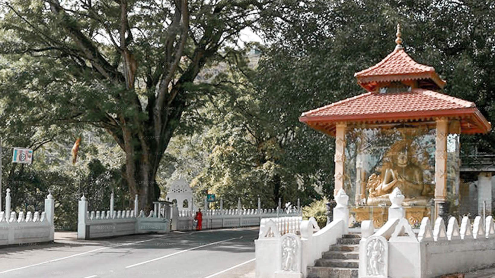
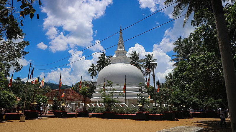 Muthiyangana Raja Maha Vihara
O Muthiyanganaya Raja Maha Viharaya fica no centro da cidade de Badulla. A história deste templo remonta à época de Buda, mas a área ao redor de Badulla data dos séculos XIX a XVIII a.C.
-
 Dowa Raja Maha Viharaya
O Dowa Raja Maha Viharaya (Templo do Cabo Dowa) fica a poucos quilômetros da cidade de Bandarawela, na estrada Bandarawela-Badulla. Acredita-se que este templo tenha sido construído pelo Rei Walagamba no século I a.C.
-
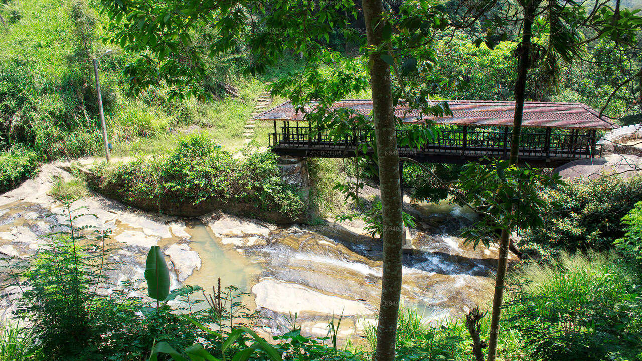 Ponte de madeira de Bogoda
A Ponte de Madeira de Bogoda foi construída no século XVI, durante a era Dambadeniya. Diz-se que é a ponte de madeira mais antiga ainda existente no Sri Lanka. A ponte está situada a 7 quilômetros (4,3 milhas) a oeste de Badulla.
-
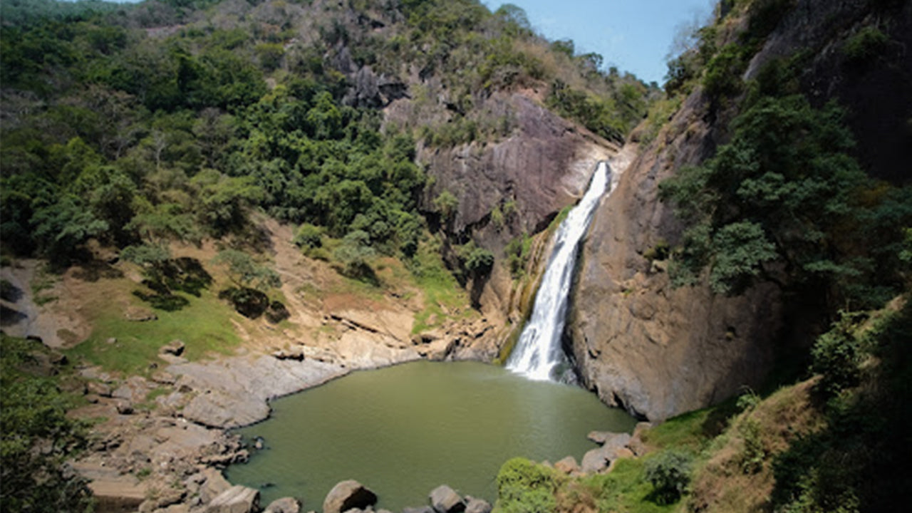 Cachoeiras de Dunhinda
A cachoeira de Dunhinda está localizada a cerca de 5 km da cidade de Badulla. Com 63 metros de altura, é considerada uma das mais belas cachoeiras do Sri Lanka. Seu nome se deve à névoa que escorre das gotas de orvalho.