Sigiriya City
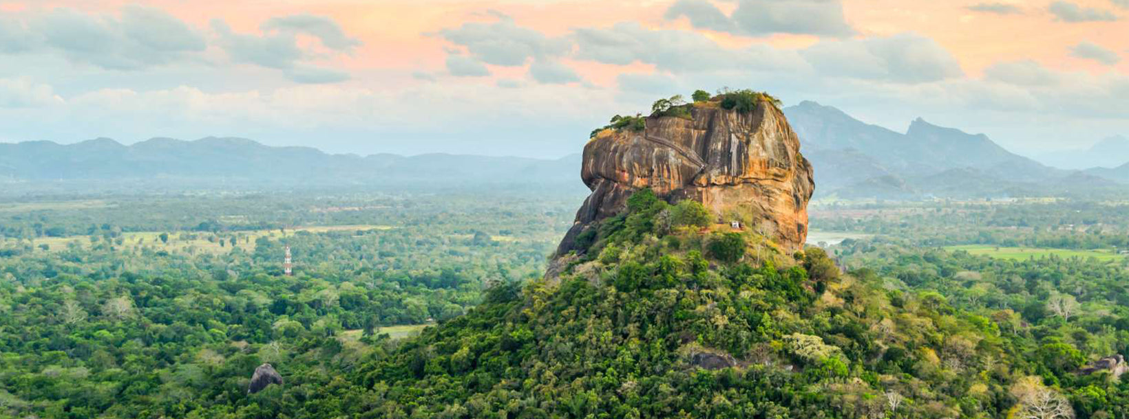
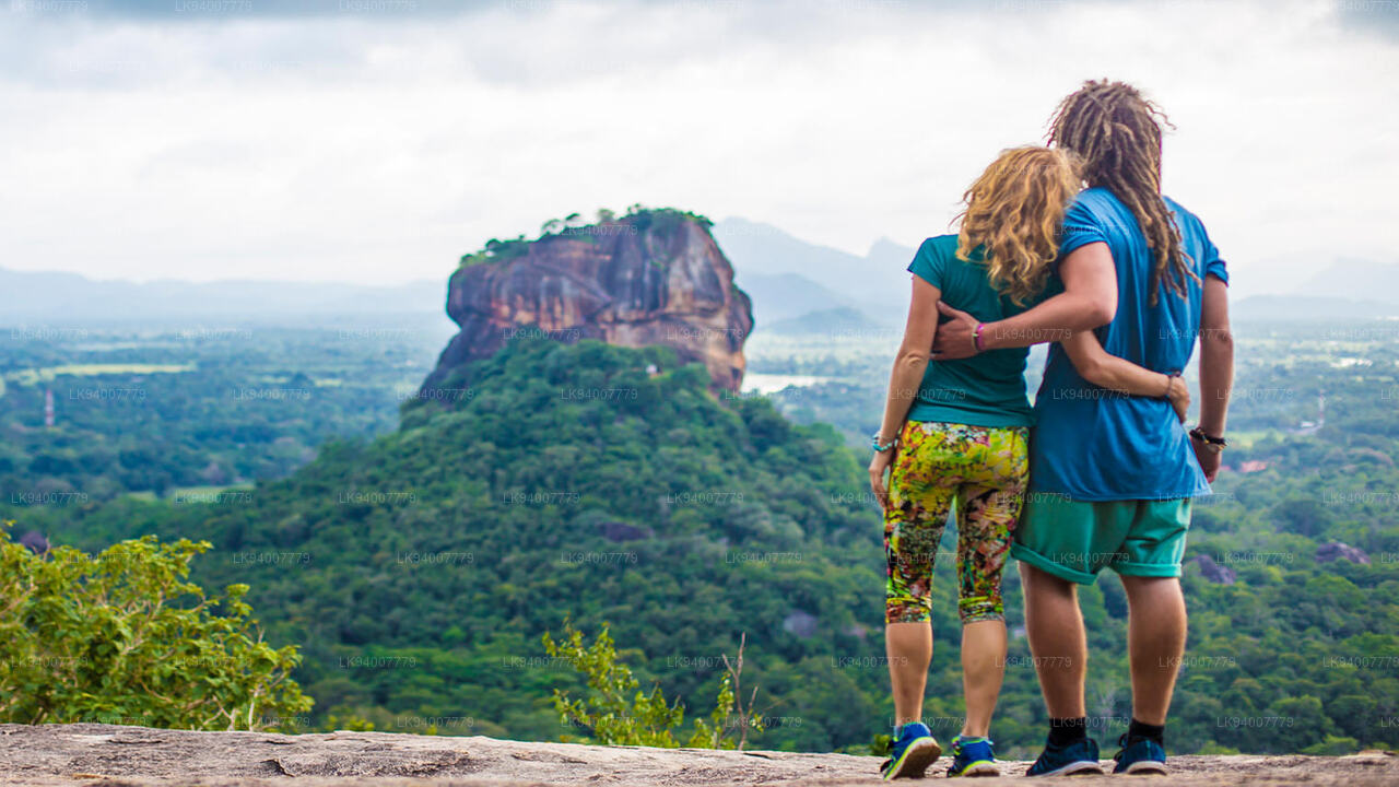
Sigiriya, a UNESCO World Heritage Site in Sri Lanka, is an ancient rock fortress and palace with stunning frescoes and extensive gardens. Rising dramatically from the plains, it's a testament to the island's rich history and architectural ingenuity. Explore the enchanting beauty and cultural significance of Sigiriya.
Cidade de Sigiriya
Localização: Sigiriya está localizada a uma distância de 169 km de Colombo.
Como chegar a Sigiriya: Sigiriya pode ser acessada pelas principais rodovias, embora não esteja conectada por uma linha ferroviária.
A Cidadela da Rocha do Leão de Sigiriya: A Cidadela da Rocha do Leão de Sigiriya, um Patrimônio Mundial, é a principal atração turística de Sigiriya. Além da fortaleza, o complexo de Sigiriya também inclui um dos exemplos mais bem preservados e mais magníficos de planejamento urbano antigo no sul da Ásia.
O reservatório de água da chuva em Sigiriya: O antigo reservatório conhecido como Thalkotuwa Wewa está localizado imediatamente ao sul do complexo da fortaleza rochosa de Sigiriya. O reservatório é uma importante fonte de irrigação para a vila de Sigiriya.
A vila artesanal de Sigiriya: A vila artesanal de Sigiriya, localizada em Kimbissa, na estrada Sigiriya–Dambulla, foi estabelecida sob o Ministério da Economia Rural. As vendas são realizadas diretamente pelos artesãos. O artesanato tradicional disponível inclui cerâmica, produtos de couro, artigos de prata, artigos de latão e produtos feitos com cascas de coco.
About Central Provincce
The Central Province of Sri Lanka consists primarily of mountainous terrain. The province has an area of 5,674 km², and a population of 2,421,148. Some major towns include Kandy, Gampola (24,730), Nuwara Eliya and Bandarawela. The population is a mixture of Sinhalese, Tamil and the Moors.
Both the hill capital Kandy and the city of Nuwara Eliya are located within the Central Province as well as Sri Pada. The province produces much of the famous Ceylon tea, planted by the British in the 1860s after a devastating disease killed all the coffee plantations in the province. Central Province attracts many tourists, with hill station towns such as Kandy, Gampola, Hatton and Nuwara Eliya. Temple tooth or Dalada maligawa is the main sacred place in Centrel province.
The climate is cool, and many areas about 1500 meters often have chilly nights. The western slopes are very wet, some places having almost 7000 mm of rain per year. The eastern slopes are parts of the mid-dry zone as it is receiving rain only from North-Eastern monsoon. The Temperatures range from 24°C at Kandy to just 16°C in Nuwara Eliya, which is located 1,889 m above sea level. The highest mountains in Sri Lanka are located in the Central Province. The terrain is mostly mountainous, with deep valleys cutting into it. The two main mountain regions are the central massif and the Knuckles range to the east of Kandy.