Kurunegala City
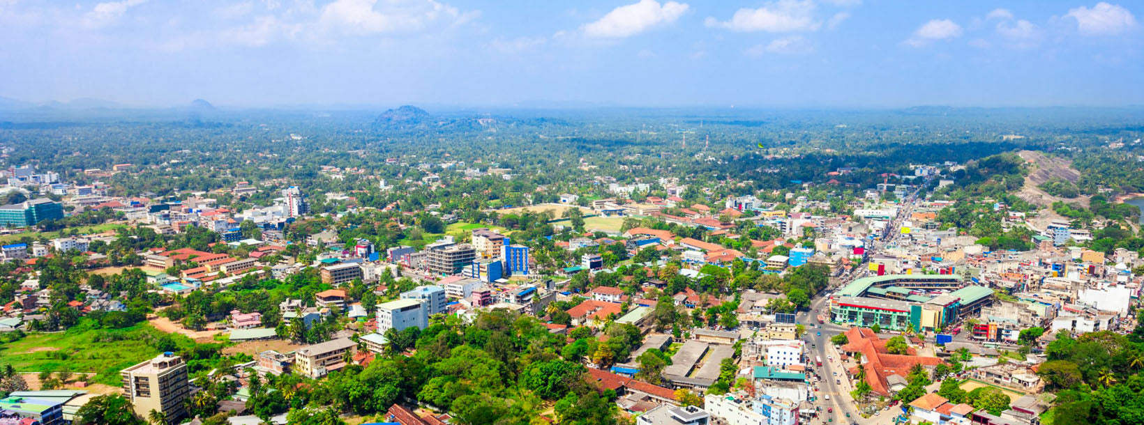
Kurunegala: Bustling city in Sri Lanka's North Western Province, featuring historic sites, vibrant markets, and a blend of modern and traditional culture.
Dambadeniya
Dambadeniya (DMBD) ist eine zerstörte antike Stadt in der Nordwestprovinz (Wayamba), Sri Lanka , an der Hauptstraße Kurunegala – Negombo . Mitte des 13. Jahrhunderts diente sie als Hauptstadt Sri Lankas. Ein Großteil von Dambadeniya liegt noch immer auf einem riesigen befestigten Felsen begraben. Dambadeniya liegt etwa 31 km von Kurunegala, der heutigen Hauptstadt der Nordwestprovinz, entfernt. Dambadeniya liegt etwa 4 km von Giriulla entfernt.
Dambadeniya, etwa 30 km südwestlich von Kurunegala, erlangte Mitte des 13. Jahrhunderts Bedeutung.[1] Sie wurde von König Vijayabahu III. (1232–36) zur Hauptstadt des Königreichs Sri Lanka gewählt. Die Souveränität des Landes stand durch Invasionen auf dem Spiel, die Polonnaruwa als Hauptstadt verdrängten. Vijayabahu, der König der Dambadeniya-Dynastie, kämpfte gegen die Eindringlinge und gründete Dambadeniya. Auf dem Gipfel des Dambadeniya-Felsens errichtete er Befestigungen sowie robuste Mauern und Tore. Die Stadt wurde durch einen Wassergraben, einen Sumpf und Wälle rund um den Königspalast gesichert. Während der Herrschaft von König Parakramabahu II. (1236–70) erreichte Dambadeniya den Höhepunkt seines Ruhms. Die makellosen poetischen Meisterwerke „Kavisilumina“ und „Visuddi Marga Sannasa“ von König Parakramabahu II. stellten einen Wendepunkt in der singhalesischen Literatur dar. Die Dambadeniya-Ära war der Grund, warum sich die singhalesische Literatur nicht auf Gemälde oder Schriften beschränkt.
Über den Bezirk Kurunegala
Kurunegala ist ein Bezirk in der Nordwestprovinz Sri Lankas. Besteht aus 4812,7 km2 (48.1270 Hektar) und besteht aus 30 Divisionssekretariaten, 1610 Grama Niladari-Divisionen und insgesamt 4476 Dörfern. Es besteht aus 14 Wahlbezirken, 02 Gemeinderäten, 19 Stadträten, 15 Parlamentarischen Ministern, 47 Provinzratsmitgliedern, 15 Ministern und 337 Gemeinderatsmitgliedern.
In Anbetracht der geografischen Lage des Kurunegala-Distrikts wurde er von fünf Distrikten begrenzt. Von Norden durch den Distrikt Anuradhapura , im Osten durch den Distrikt Mathale , im Süden durch die Distrikte Gampaha und Kegalle und von Westen durch den Distrikt Puttlam . Der Längengrad des Bezirks liegt zwischen 228 und 333 nördlicher Breite und zwischen 104 und 178 östlicher Breite.
About Kurunegala District
Kurunegala is the capital of the Wayamba Province in Sri Lanka and the Kurunegala District.Kurunegala was a royal capital for only 50 years, from the end of the 13th century to the start of the next, though even before this it was strategically placed in the middle of other majestic strongholds such as Yapahuwa to the north, Dambadeniya to the south and Panduwasnuwara in the east. Ethagala a rock reaching 316 meters, towers over the town, which is located at an altitude of 116 meters above sea level. The shape of Ethagala resembles an Elephant. A transport hub, it has a railway station, and several main roads linking important parts of the country.Kurunegala is situated about 94 km from Colombo, and 42 km from Kandy.
Most of Kurunegala's residents belong to the Sinhalese majority. Other ethnic minorities include the Sri Lankan Moors, Sri Lankan Tamils, Burghers and Malays. Residents from ethnic minorities live in all parts of the city, however, sizeable communities of Moors and Tamils also live in the areas of Teliyagonna and Wilgoda.
About North Western Province
North Western Province is a province of Sri Lanka. The districts of Kurunegala and Puttalam formulate North Western or Wayamba. Its capital is Kurunegala, which has a population of 28,571. The province is known mainly for its numerous coconut plantations. Other main towns in this province are Chilaw (24,712) and Puttalam (45,661), which are both small fishing towns. The majority of the population of Wayamba province is of Sinhalese ethnicity. There is also a substantial Sri Lankan Moor minority around Puttalam and Sri Lankan Tamils in Udappu and Munneswaram. Fishing, prawn farming and rubber tree plantations are other prominent industries of the region. The province has an area of 7,888 km² and a population of 2,184,136 (2005 calculation).
Wayamba is the third largest paddy producing area in Sri Lanka .Wayamba has a highly developed agricultural economy, growing a variety of fruits and vegetables, flowering plants, spices, oil-seeds in addition to the traditional plantation crops such as Coconut, Rubber and Rice. Rich soils and varied climate give Wayamba a potential for growing of virtually any crop.
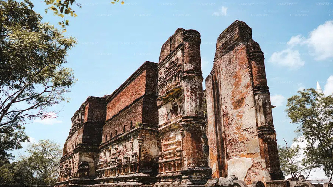
In Wayamba or North western province, home for ancient Buddhist rock temples, magnificent citadels Panduwasnuwara, Dambadeniya, Yapahuwa and Kurunegala. Impressive remains of those citadels, palaces, Buddhist temples and monasteries provide exciting sight seeing to the visitors.