Dimbulagala


Dimbulagala also known as Gunner's Quoin or Gunner's Rock during the British colonial period, is a rock formation in the Polonnaruwa District of Sri Lanka. By the time anthropologist Charles Gabriel Seligman visited the location in 1911, a cave within the rock had become a refuge of the indigenous Vedda people. During the 12th century AD, The Sinhalese people had constructed a Buddhist monastery within the rock formation. The Dimbulagala Raja Maha Vihara monastery was restored in the 1950s. The villagers around the rock are of mixed Vedda and Sinhalese ancestry.
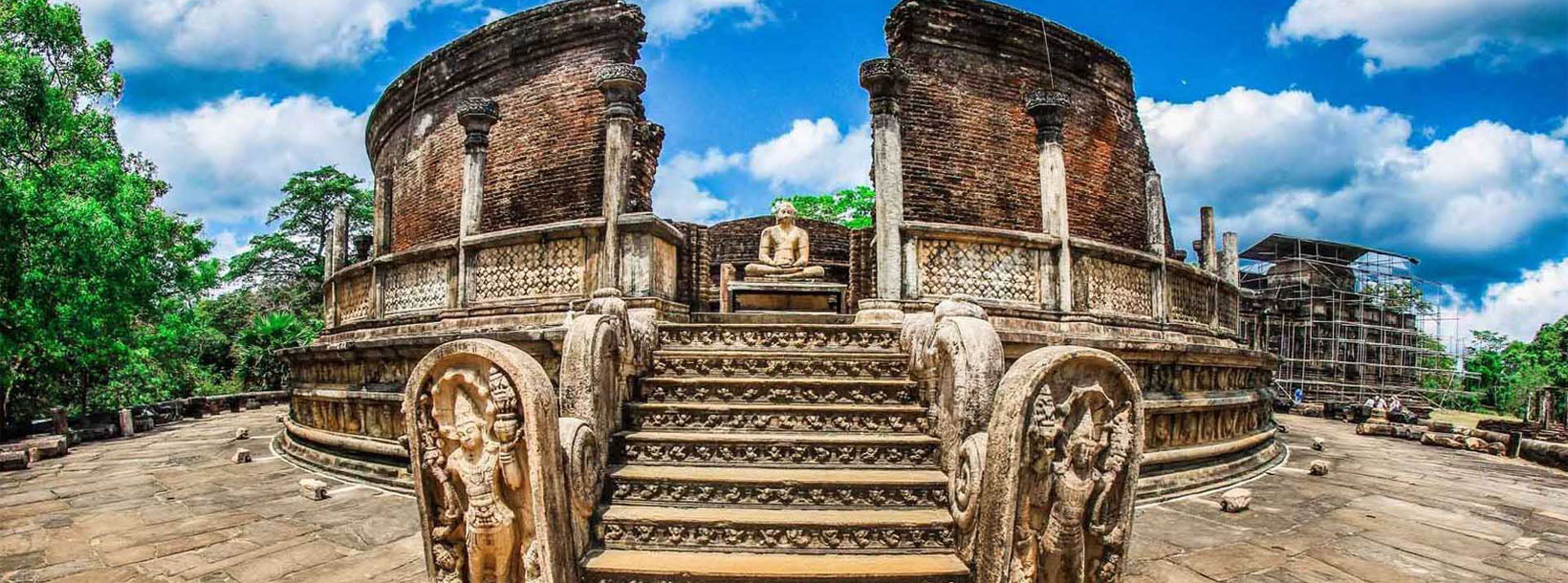
About Polonnaruwa District
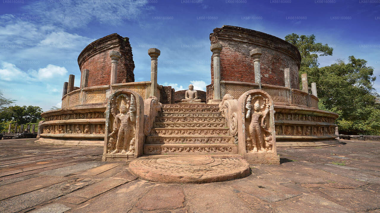
Polonnaruwa is the 2nd largest city in north central province in Sri Lanka. The ancient city of Polonnaruwa has been declared a World Heritage site by UNESCO Polonnaruwa has a great history of conquest and struggle behind it and rightfully forms the third element in the Cultural Triangle. Located about 140 kms north east from Kandy,Polonnaruwa offers hours of endless pleasure for history and culture lovers, as there are numerous sights of significance.
About North Central Province
North Central Province which is the largest province in the country covered 16% of total country's land area. North Central Province consist two districts called Polonnaruwa and Anuradhapure. Anuradhapura is the largest district in Sri Lanka. Its area is 7,128 km².
North Central Province has numerous potentials for Investors to start their Businesses, especially Agriculture, agro based industries and Livestock sectors. More than 65% of North Central Province's people depend on basic Agriculture and agro base industries. NCP also called "Wew Bendi Rajje" because there are more than 3,000 medium and large scale tanks situated in the province. Sri maha bodiya, Ruwanweli seya, Thuparama dageba, Abayagiri Monastry, Polonnaruwa Rankot wehera, Lankathilake are scared places in North Central Province.