Dolukanda


Dolukanda is a well known mountain range due to the Dolukanda Raja Maha Viharaya (Dolukanda Buddhist Temple) and it is believed that the mountain is directly linked to the great Indian epic, Ramayana Trail in Sri Lanka . In Ramayana story this mountain declared as Dolukada Sanjeewani mountain.This is one of the five Sanjeevani drops in Sri Lanka which located in Kurunegala District. This is one of the popular Ramayana sites of Sri Lanka , where it is believed that the parts of Himalaya Mountain have been felt while it was carried to Sri Lanka by Hanuman.
There is ample evidence that 5,000 years before, the great sages in the history of the Hela were perfect in the medical and post-medical fields and that they maintained great medicinal gardens. Here is a special note about Dolukakanda, the herbal garden of King Buddhadasa Veda, who is known as the great Vedic teacher who is talked about in the history of the Hela
How to get to DolukandaDolukanda Mountain lies in the Kurunegala District of the North Western Province. There are two routes to Dolukanda. One is to take the Dambulla Road from the Muththettugala Junction to the Wellawa Ganewatta Road and proceed to the Dolukanda Temple. Then you can start the Dolukanda climb from the temple.
The other route is to take the Kurunegala-Dambulla road to Ibbagamuwa and from there take the Madagalla road and get off at Godagala junction. Then you can travel through the village of Doluwa to Dolukanda through a beautiful paddy field.
Dolukanda is considered to be the site of Lord Weeramunda and is a place of historical and archaeological value. Dolukanda which is designated as a reserve is under the Forest Department. It is important that you climb Dolukanda with a special permit from the Forest Department. It is also important to inform the Thero of the Dolukanda Temple as the Dolukanda Climb should start through the Dolukanda Temple. You will also find a guide to climb Dolukanda.
While climbing Dolukanda you will see a lot of gum on the way. There are also huge russet trees and large herbaceous plants. Among these are rare herbs called Gardi Raja. It is noteworthy that the herb grows on another plant. At the same time, the black stone ruins can be seen along the way as evidence that there were buildings. Many treasures can be seen being destroyed by thieves.
Along the way, there are gushing springs that overflow the roots of the rocky outcrop. That water is even suitable for drinking. If you go up and run out of water you can get water from this spring. This is because there is no drinking water at the top of Dolukanda.
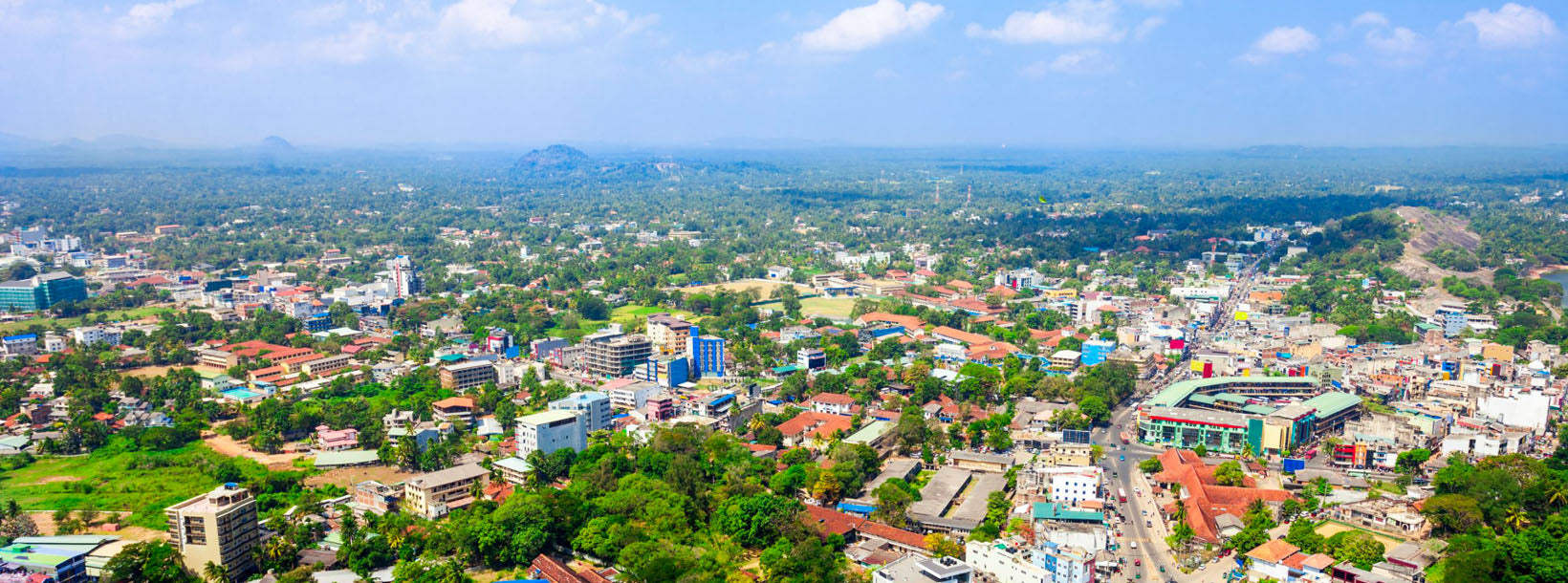
There is a place called Maligathenna at the top of Dolukanda and it is a great place to see the beauty of the surroundings as a plain. Maligathenna is believed to be the back part of the palace at the top of Dolukanda. Maligathenna is also mentioned as the road