Narangala


Beautiful Narangala, with its golden grass, rises up to a height of over 1500m in the Uva Province of Sri Lanka. The summit of this second highest mountain in Uva, provides some of the very best views in the entire tropical island. In addition to it; the reasonable challenge that climbing it offers has made it a great favorite amongst hikers.
Hiking Spot: Narangala Peak
Height: 1527m
Difficulty Level: Medium
Things to wear: Hiking boots with a good grip, warm clothing
Things to take: Water bottle, energy bars, bug repellant
Route Description:
The hiking trail starts in the Thangamalai Estate area. The name literally means ‘Golden Mountain’ in Tamil and is derived from the golden grasses that blanket the slopes of Narangala. One of the most defining features of Narangala is its sharply rectangular peak making it quite an attractive sight even from the far distance.
Hikers should stop their vehicles at the Hindu Temple in the estate. If you have no guide with you, some of the locals will be happy to help direct. You will have to climb along little foot trails in the tea estate until you find a large pipe line that supplies water to the estate. You will then follow the pipe until the point hat it reaches a road that runs through the estate. There will be many pretty views of slopes coated in the bright green of tea trees; that you can take photographs of. After following the estate road for a while you will reach the point from which you start the climb up the mountain.
The initial portion of the climb will be through a grove of turpentine trees. The leaf fall from these trees are very slippery; which added to the slope of the ground makes footing quite treacherous. The hike through the yellow gold grasses of Narangala’s slopes are idyllic though,
making up for the difficulty in getting to them. There are occasional wildlife and their tracks to be seen; so go about without disturbing them. You will traverse four of the lower peaks of Narangala, all with great views, before reaching the summit.
The vista that spreads before you will be jaw-dropping. You will be able to see between the valleys of the rivers of Uma Oya, Badulu Oya and Loggal Oya; while getting an eagle’s eye view of the Mahaweli flood plains extending all the way up to Trincomalee. Also to be seen are the far away Kehelpathdoruwa and Yahanagala mountains; Nayabedda Range, Madulsima Range and Poonagala Range; the Idalgasinna Gap and Haputale Gap; the slopes of Randenigala and rolling green of Horton Plains. The giant of the Namunakula Range of mountains lies much closer; with many other places to see and identify. These beautiful landscapes spread from the summit in colorful panorama; the likes of which are only seen in paintings.
The summit itself has a flat area where you can rest and refresh before starting down. But make sure you don’t litter. The entire hike will take between six to eight hours depending on how experienced you are and how you pace yourself..

Bijzondere plekken in Badulla
-
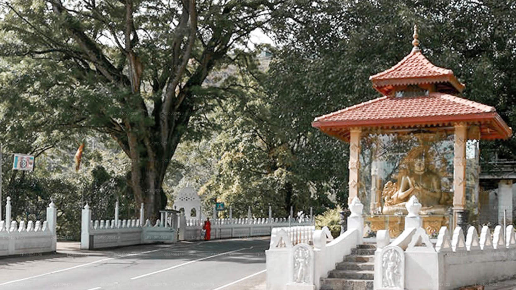
 Muthiyangana Raja Maha Vihara
Muthiyanganaya Raja Maha Viharaya ligt in het centrum van de stad Badulla. De geschiedenis van deze tempel gaat terug tot de tijd van Boeddha, maar het gebied rond Badulla gaat terug tot de 19e-18e eeuw v.Chr.
-
 Dowa Raja Maha Viharaya
Dowa Raja Maha Viharaya (de Dowa Kaaptempel) ligt op enkele kilometers afstand van de stad Bandarawela aan de Bandarawela-Badullaweg. Deze tempel zou in de eerste eeuw voor Christus door koning Walagamba zijn gebouwd.
-
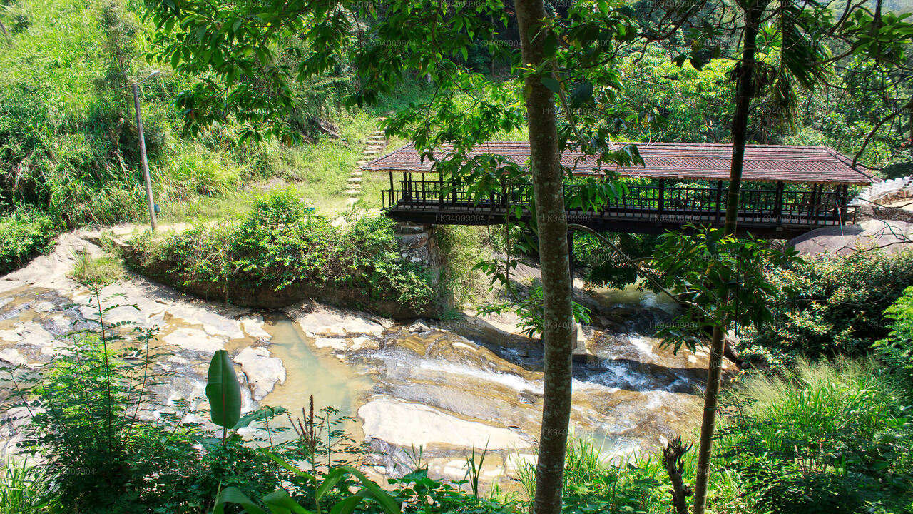 Bogoda Houten Brug
De Bogoda Houten Brug werd gebouwd in de 16e eeuw, tijdens het Dambadeniya-tijdperk. Dit zou de oudste nog bestaande houten brug in Sri Lanka zijn. De brug ligt 7 kilometer ten westen van Badulla.
-
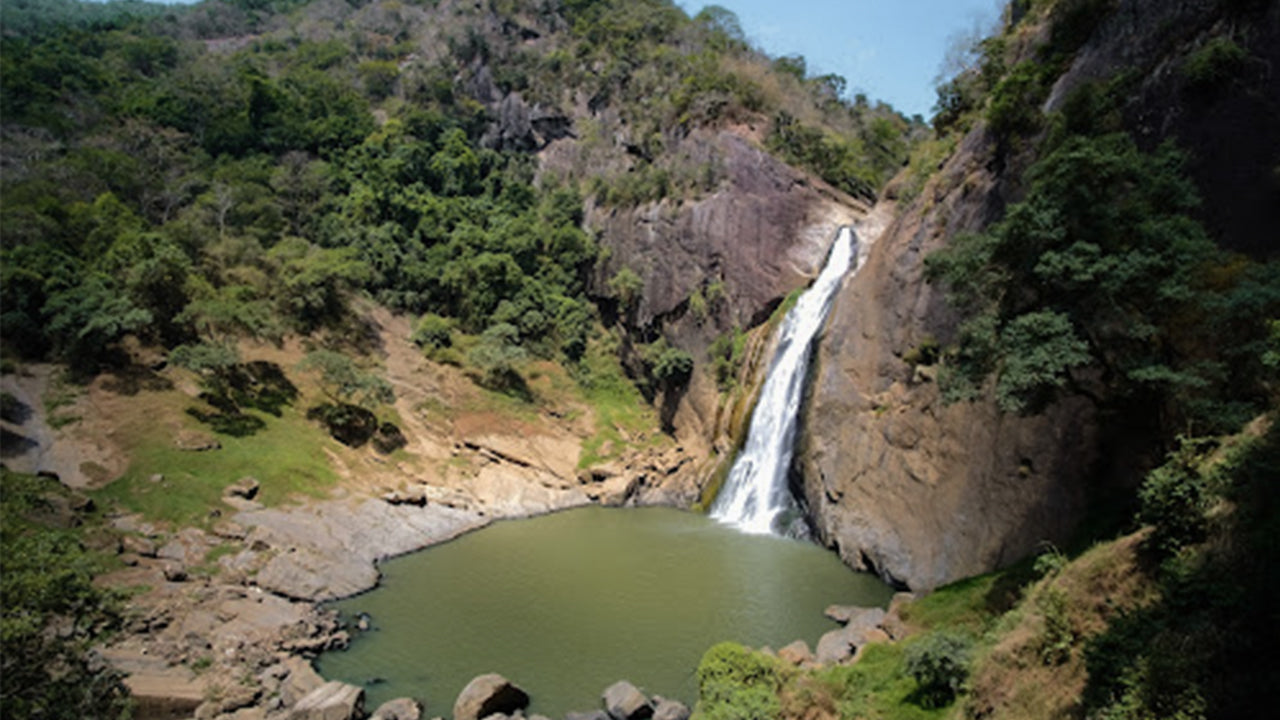 Dunhinda-watervallen
De Dunhindawatervallen liggen op ongeveer 5 km afstand van Badulla. Ze zijn 63 meter hoog en worden beschouwd als een van de mooiste watervallen van Sri Lanka. De waterval dankt zijn naam aan de rokerige dauwdruppels die opspatten.