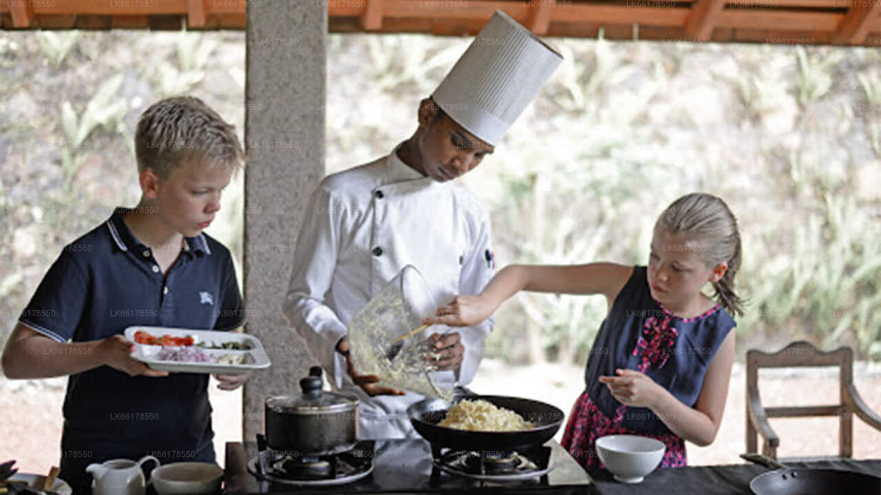
Matale, Sri Lanka, staat bekend om zijn weelderige vegetatie en kruidentuinen. Gelegen in de centrale provincie, biedt het een rijke culturele ervaring met kooklessen en demonstraties. Bezoekers kunnen traditionele recepten en technieken leren, zoals koken in een aardewerken pot, en genieten van gerechten als kipcurry en dhalcurry. Dit maakt Matale tot een culinaire en culturele schat.
Sigiriya's Boulder gardens are marked in contrast to the symmetry and geometry of the water gardens. It consists of a number of winding pathways in and out of the artistic clusters or solitude large natural boulders, its charm and romance springing from its very unorganized state. According to scholars upon every single rock or boulder in this garden was a building or pavilion.
Today the honeycomb of holes left on these boulders were infact the foundations of ancient brick walls and of timber columns and beams. Notable features here include the Cistern rock and the Audience Hall rock where upon its flat summit is a 5 metre throne carved out of the same living rock and the Preaching rock. Distinct in artistic style and nature from the water and boulder gardens is Sigiriya's Terraced gardens.
The main path then leads to the Sigiriya boulder gardens. The design uses natural boulder placements around the base rock to create a set of brick and woodworks. None of the original buildings survive today. Yet, the rock-cut footings on the boulders that supported the walls and pillars are visible. The boulder garden is asymmetrical. It uses the natural contour and boulder placements to create a high aesthetic effect that is almost modern.
Three natural caves are also identified as the garden’s features. They are the Deraniyagala cave, cobra hooded cave, and asana cave. Some rare fifth-century murals can be seen on the cave ceilings as well. An inscription here states that this area was used by meditating Buddhist monks since the third century BCE. This makes it the oldest archaeological site in the Sigiriya rock fortress.
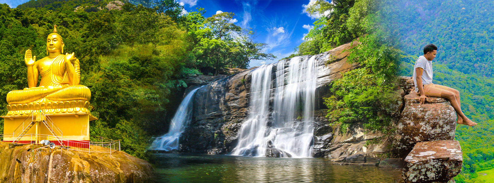
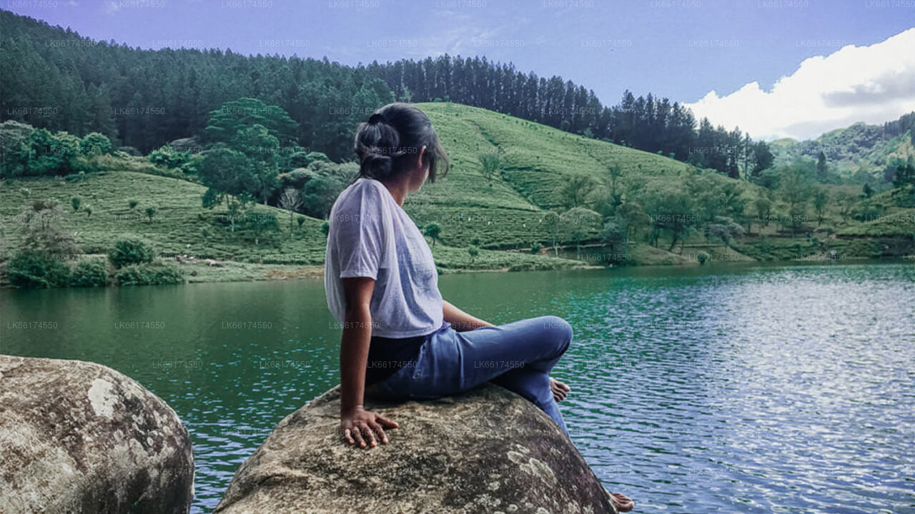
De Centrale Provincie van Sri Lanka bestaat voornamelijk uit bergachtig gebied. De provincie heeft een oppervlakte van 5.674 km² en een bevolking van 2.421.148. Enkele belangrijke steden zijn Kandy, Gampola (24.730), Nuwara Eliya en Bandarawela. De bevolking is een mengeling van Singalezen, Tamils en Moren.
Zowel de heuvelhoofdstad Kandy als de stad Nuwara Eliya liggen in de Centrale Provincie, evenals Sri Pada. De provincie produceert een groot deel van de beroemde Ceylon-thee, die in de jaren 1860 door de Britten werd aangeplant nadat een verwoestende ziekte alle koffieplantages in de provincie had vernietigd. De Centrale Provincie trekt veel toeristen, met bergstadjes zoals Kandy, Gampola, Hatton en Nuwara Eliya. De Tempel van de Tand, of Dalada Maligawa, is de belangrijkste heilige plaats in de Centrale Provincie.
Het klimaat is koel en in veel gebieden boven de 1500 meter kunnen de nachten koud zijn. De westelijke hellingen zijn erg nat, met op sommige plaatsen bijna 7000 mm regen per jaar. De oostelijke hellingen behoren tot de gematigd droge zone, omdat ze alleen regen ontvangen van de noordoostelijke moesson. De temperaturen variëren van 24 °C in Kandy tot slechts 16 °C in Nuwara Eliya, dat op 1889 meter boven zeeniveau ligt. De hoogste bergen van Sri Lanka bevinden zich in de Centrale Provincie. Het terrein is overwegend bergachtig, met diepe valleien die erdoorheen snijden. De twee belangrijkste berggebieden zijn het centrale massief en het Knuckles-gebergte ten oosten van Kandy.