하크갈라 산맥


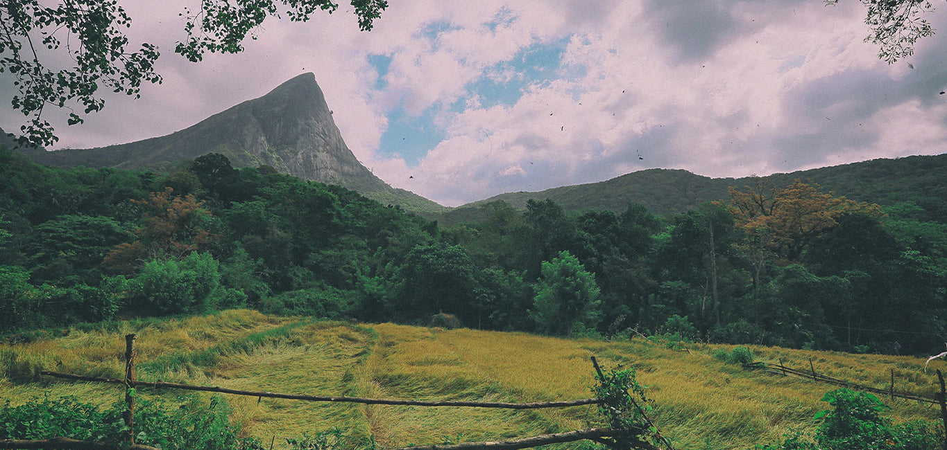
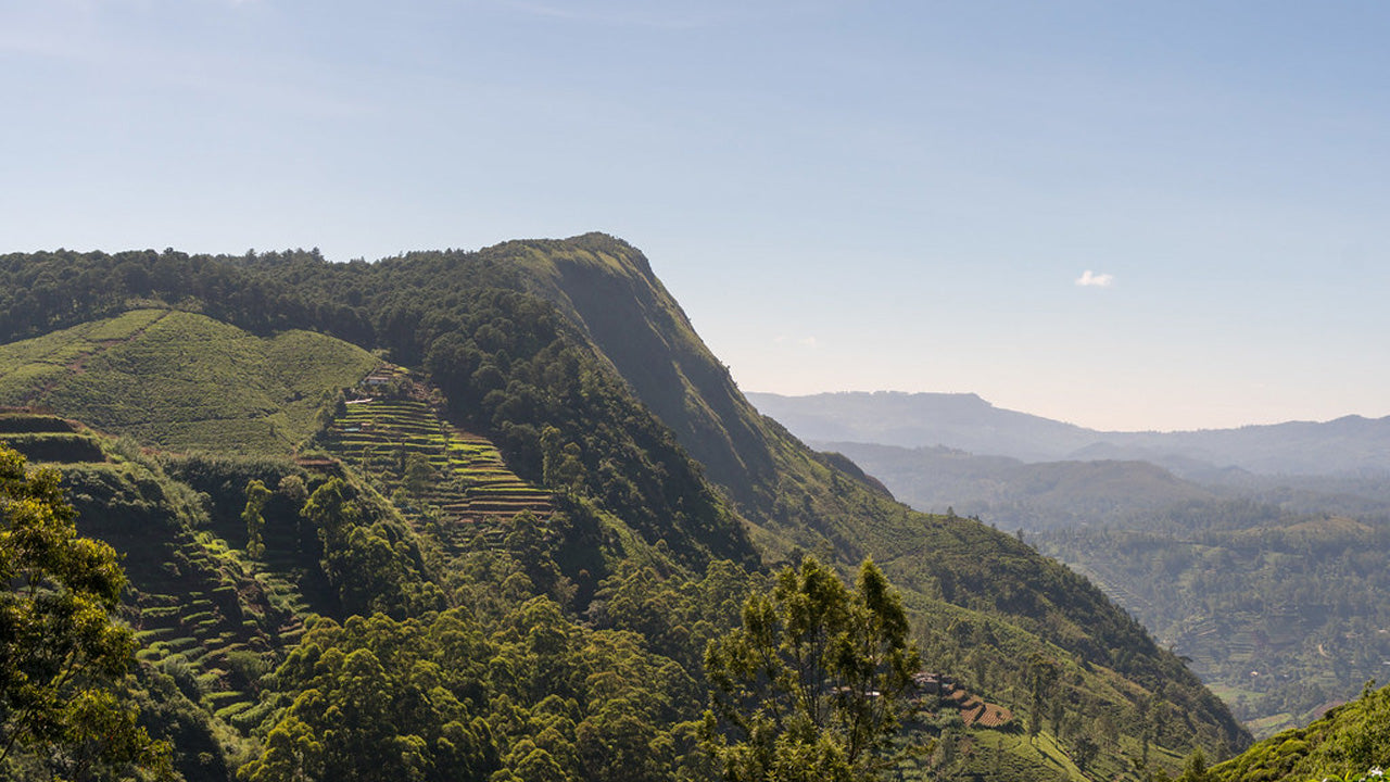
하크갈라 피크는 스리랑카의 중앙 지방에 위치한 유명한 산으로, 누와라엘리야의 언덕 마을 근처에 솟아 있으며, 경치 좋은 하크갈라 산맥의 일부를 형성합니다. 극적인 고도와 시원한 기후로 잘 알려져 있는 이 봉우리는 섬 중앙 고지대에서 문화적, 역사적, 자연적 중요성을 가지고 있습니다. 안개가 자욱한 풍경, 숲, 그리고 구불구불한 언덕으로 둘러싸인 하크갈라 피크는 스리랑카의 저지대 지역과 뚜렷한 대비를 이루며, 고산지대의 풍경과 조용한 산 환경을 좋아하는 사람들에게 매력적인 여행지가 됩니다.
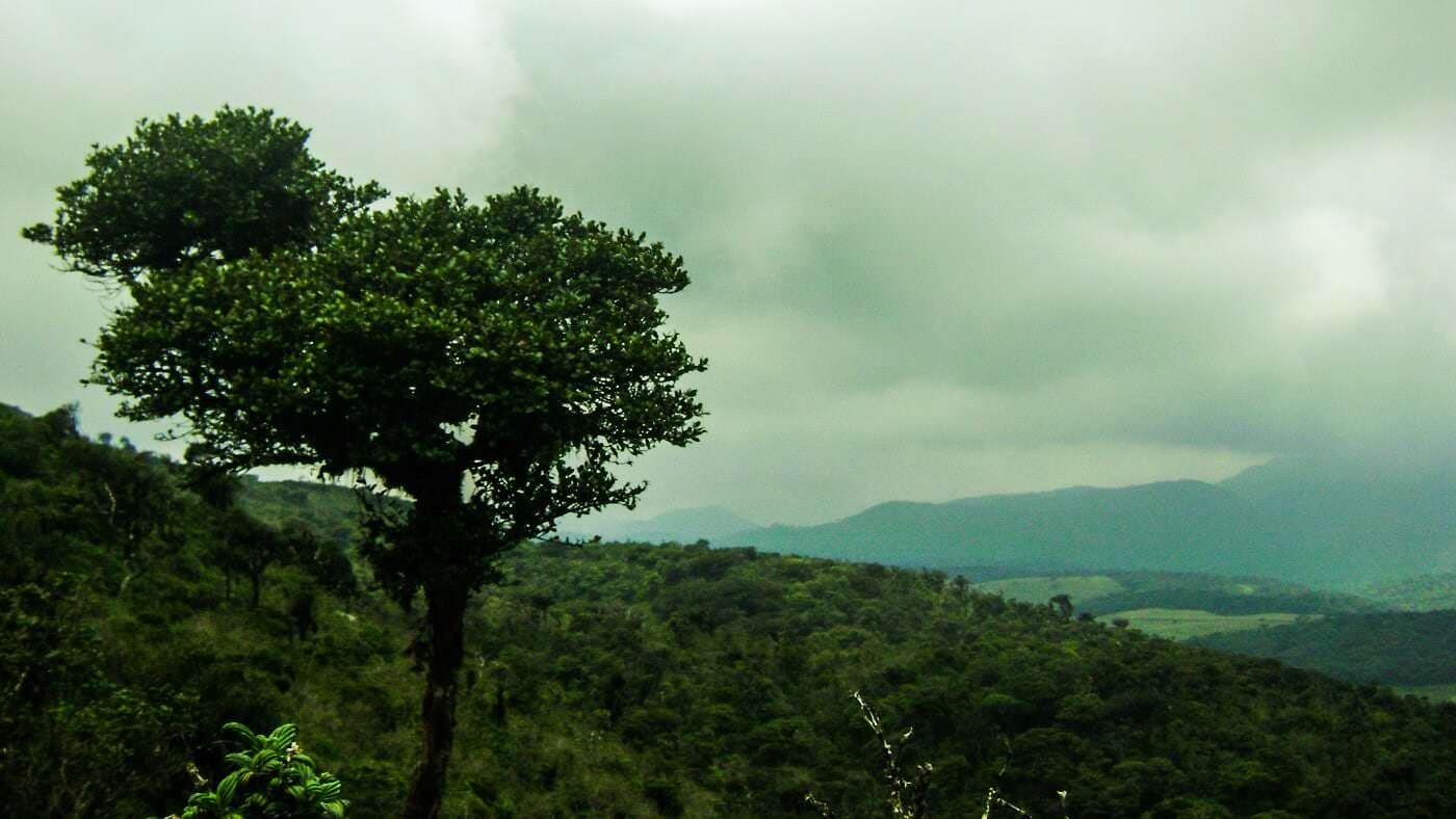
하크갈라 피크 주변의 생물 다양성은 풍부하고 독특하며, 시원한 기온에서 번성하는 고산 숲과 초원이 만들어낸 것입니다. 이 지역은 고지대 기후에 적응한 고유의 새, 나비, 그리고 식물들이 자생하고 있습니다. 울창한 숲 덮개와 자연 식생은 이 지역의 생태학적 중요성에 기여하며, 중앙 지방 내의 인근 보호구역 및 식물 지역과 연결됩니다. 이러한 생태계는 스리랑카 고지대의 생물 다양성을 보존하는 데 중요한 역할을 합니다.
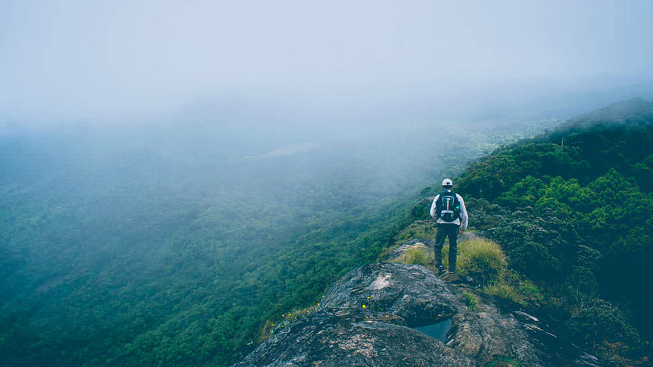
하크갈라 피크를 방문하는 사람들은 자연, 하이킹, 그리고 경치 탐험을 중심으로 한 체험을 즐깁니다. 피크로 향하는 트레일은 하이킹, 조류 관찰, 그리고 주변 계곡과 산의 파노라마 뷰를 즐길 수 있는 기회를 제공합니다. 평화로운 분위기는 느긋한 탐험, 명상, 그리고 자연을 감상하는 것을 장려합니다. 여행자들은 종종 하크갈라 피크 방문을 누와라엘리야의 인근 명소들과 결합하여 스리랑카의 고산지대에서의 체험을 더욱 풍성하게 만듭니다.
하크갈라 피크는 일년 내내 방문할 수 있지만, 가장 좋은 조건은 1월부터 4월까지의 건기 동안입니다. 이 시기는 시야가 더 선명하고 하이킹 조건이 더 편안합니다. 이른 아침에는 안개가 산에 퍼지기 전에 최고의 경치를 제공합니다. 접근은 주로 누와라엘리야를 통해 이루어지며, 피크와 중앙 지방의 다른 지역을 연결하는 잘 정비된 루트가 있습니다. 계절에 따른 날씨 변화, 시원한 바람과 가끔 내리는 비는 체험에 특징을 더하며, 하크갈라 피크를 자연 애호가와 고산지대 탐험가들에게 보람 있는 여행지로 만듭니다.


-
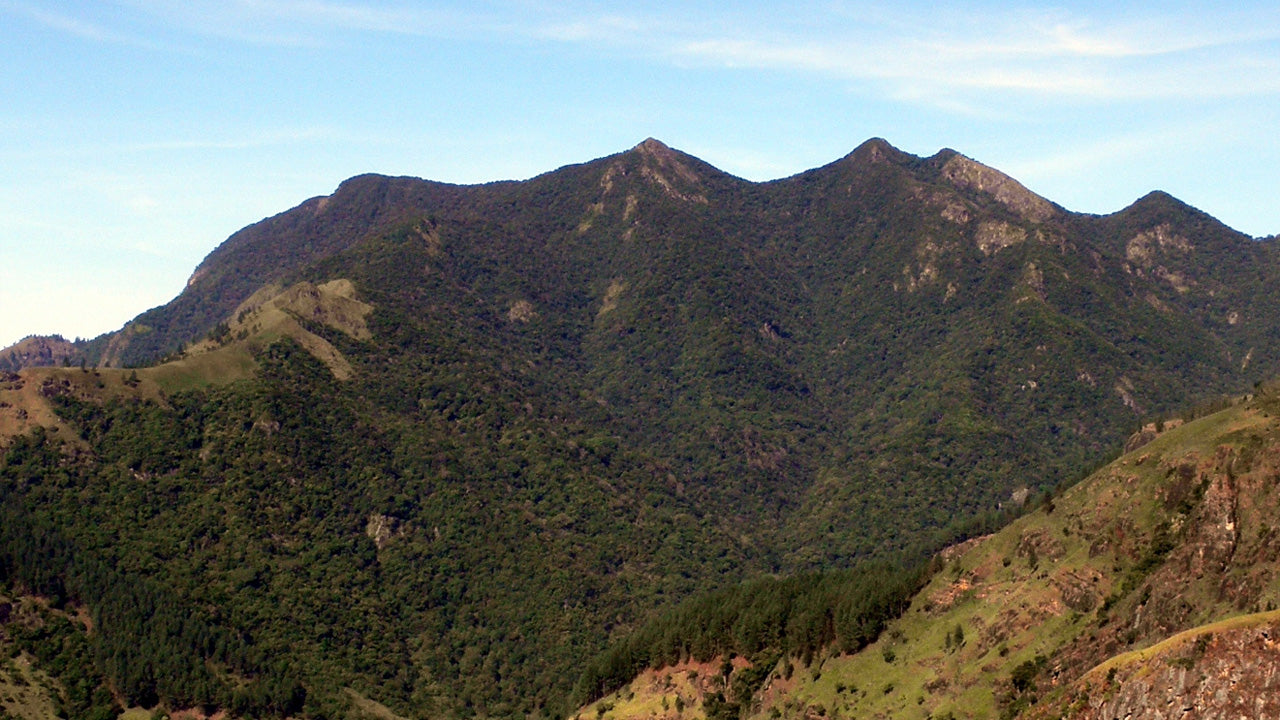
 키리가르포타
스리랑카 누와라엘리야 지역에 위치한 키리갈포타 산은 해발 2,388m(7,835피트)에 달하며, 도시 전체에 웅장한 그림자를 드리우고 있습니다. 이 산은 스리랑카에서 두 번째로 높은 산이자, 섬나라 내에서는 가장 높은 산입니다.
-
 토투폴라 칸다
토타폴라칸다는 스리랑카에서 세 번째로 높은 산으로, 누와라엘리야 지구에 위치하며 해발 2,357m입니다. 이 산은 호튼 플레인스 국립공원 내에 자리하고 있습니다. 정상까지 이어지는 약 2km 길이의 등산로는 호튼 플레인스 국립공원의 파티폴라 입구에서 몇 미터 떨어진 곳에서 시작됩니다.
-
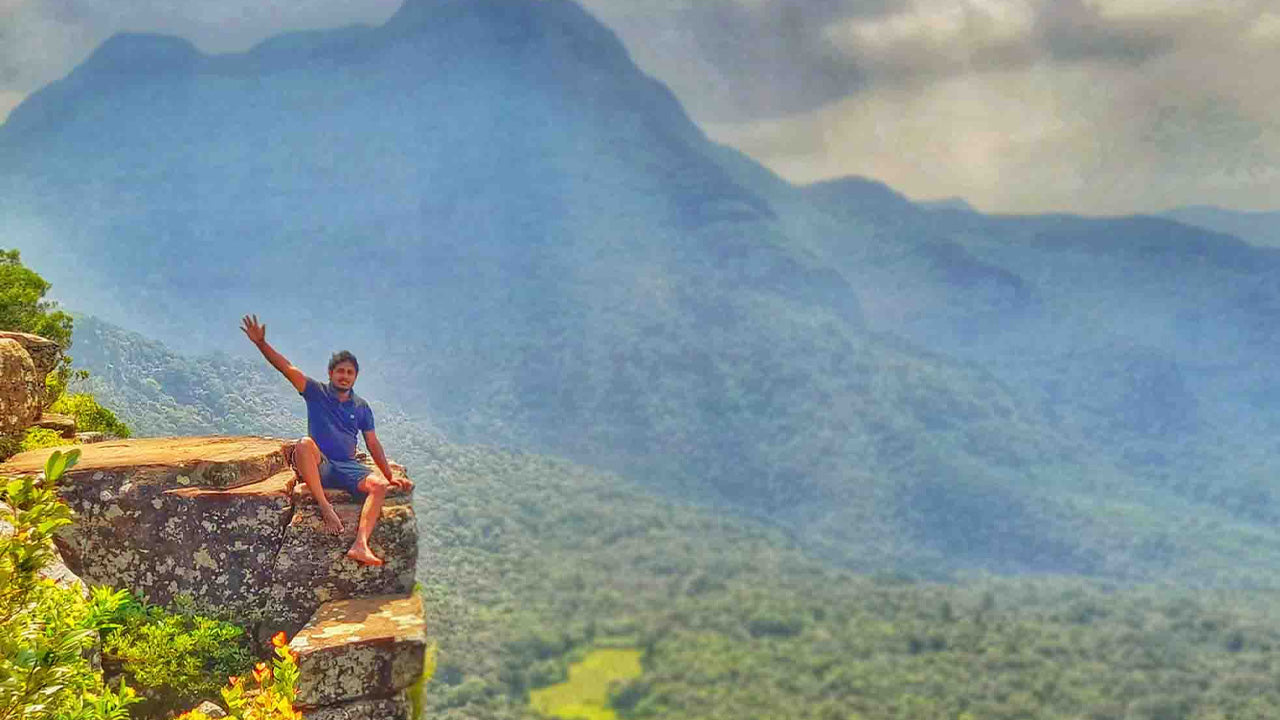
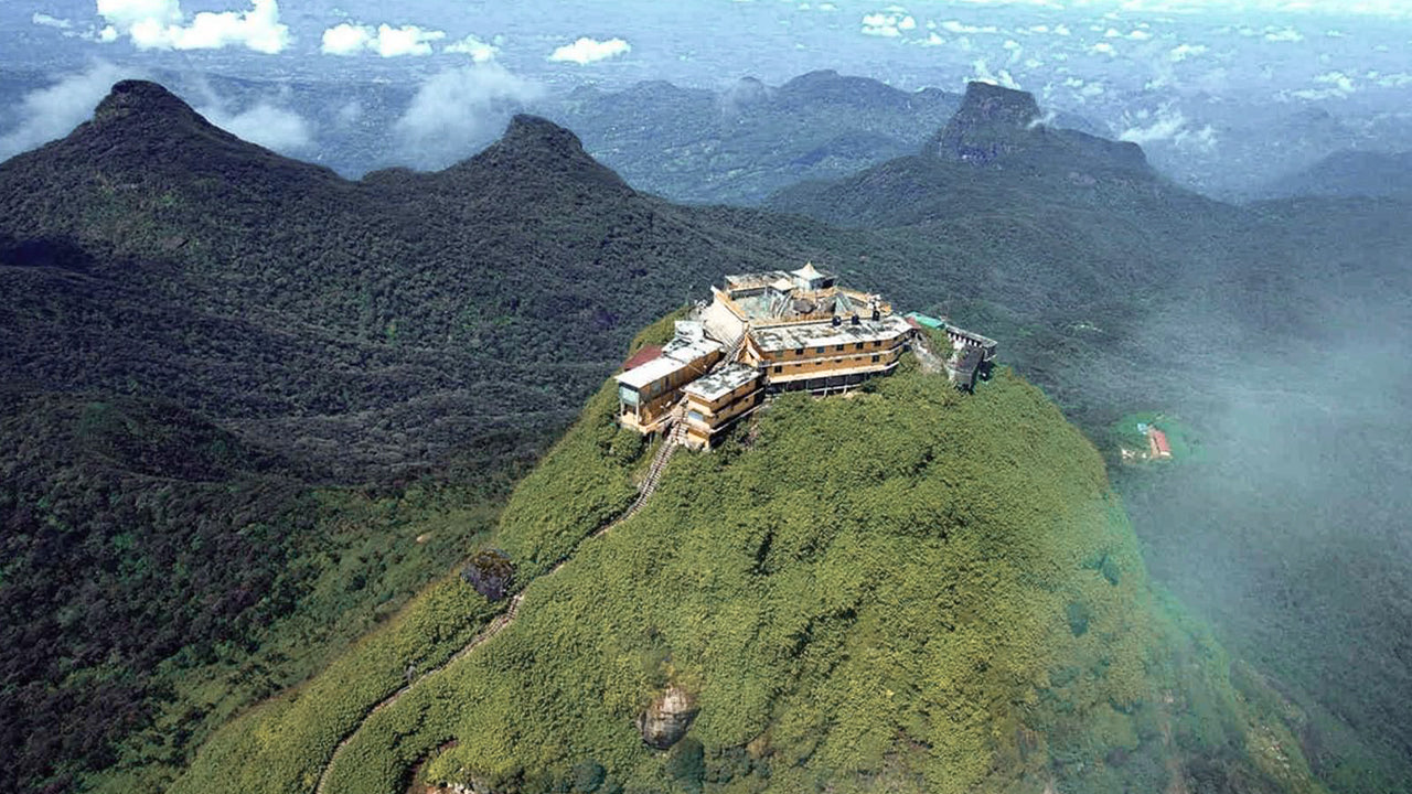 아담스 피크(스리 파다 산)
스리랑카에서 가장 유명한 지형은 라트나푸라 지역에 위치한 아담스 피크입니다. 중앙 산맥의 가장자리에 자리 잡고 있으며, 주변 산맥은 피크의 황야(Wilderness of the Peak)라고 불립니다. 높이는 약 7,500피트(약 2,287m)로, 스리랑카에서 두 번째로 높은 봉우리입니다.
-
 하크갈라 봉우리
하크갈라 봉우리는 스리랑카 중부 고원 지대에 위치한 하크갈라 엄격 자연 보호 구역 내에 자리하고 있습니다. 누와라엘리야 마을 근처에 있으며, 아름다운 경관과 서늘한 기후로 유명한 중부 고원 지대에 속합니다.
-
 곰몰리야
곰몰리야곰몰리야 봉우리는 스리랑카 중부에 위치한 유네스코 세계문화유산인 너클스 산맥의 일부로, 풍부한 생물 다양성과 아름다운 경관으로 유명합니다. 이 봉우리는 스리랑카 중부 고원지대인 캔디 지구에 자리하고 있습니다.
-
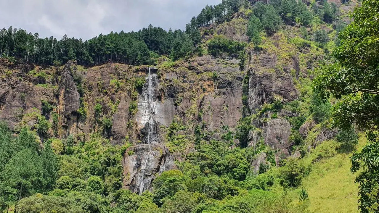 밤바라칸다 봉우리
밤바라칸다 봉우리는 스리랑카 우바 주 바둘라 지구에 위치해 있습니다. 중부 고원 지대에 속하며 스리랑카에서 가장 높은 폭포인 유명한 밤바라칸다 폭포 근처에 자리하고 있습니다. 이 지역은 울창한 녹음, 시원한 기후, 그리고 아름다운 자연 경관으로 유명합니다.
-
 리버스톤 피크
스리랑카의 리버톤 봉우리는 마탈레 마을에서 약 30km 떨어진 마탈레-기란두루코테 도로를 따라가면 도착할 수 있습니다. 구불구불하고 날카로운 헤어핀 커브가 있는 이 비밀스러운 도로는 주변 시골 풍경의 절경을 선사하여 '미니 월드 엔드'라는 별명을 얻었습니다.