아담스 피크
-
 Kirigalpotta
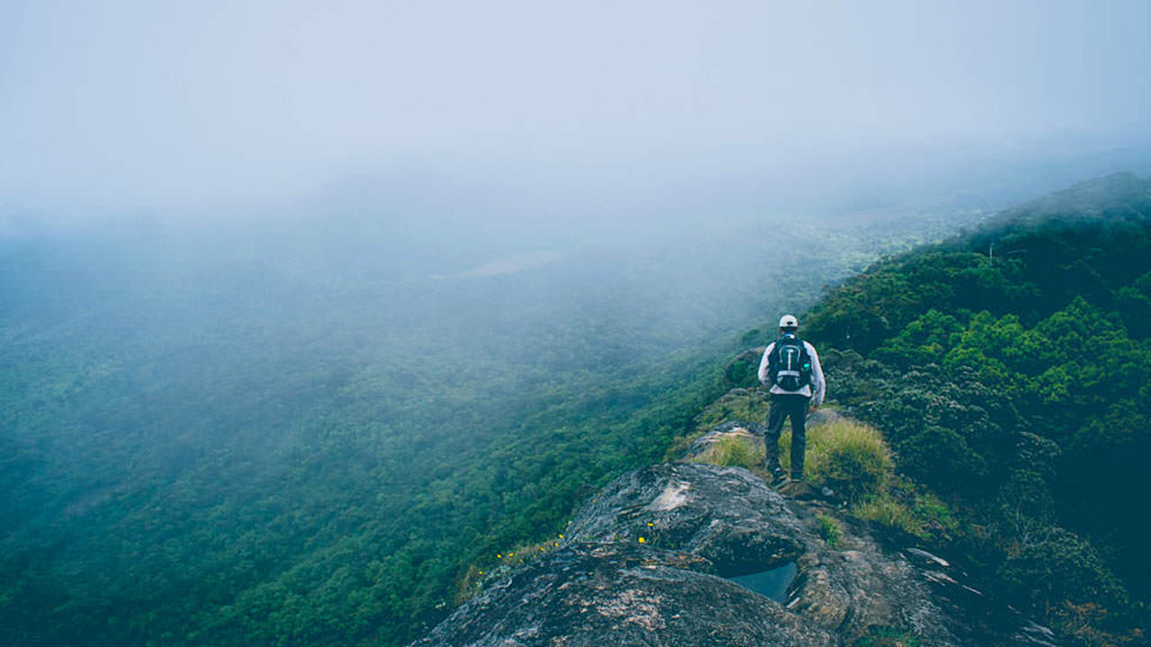
Reaching upto 2388m (7835 feet) above mean sea level, Kirigalpoththa Mountain in Sri Lanka looms in the district of Nuwara Eliya casting its shadow over the main city. This mountain is the second tallest of the island paradise Sri Lanka, and the tallest of the mountains in the island.
-
 Thotupola Kanda
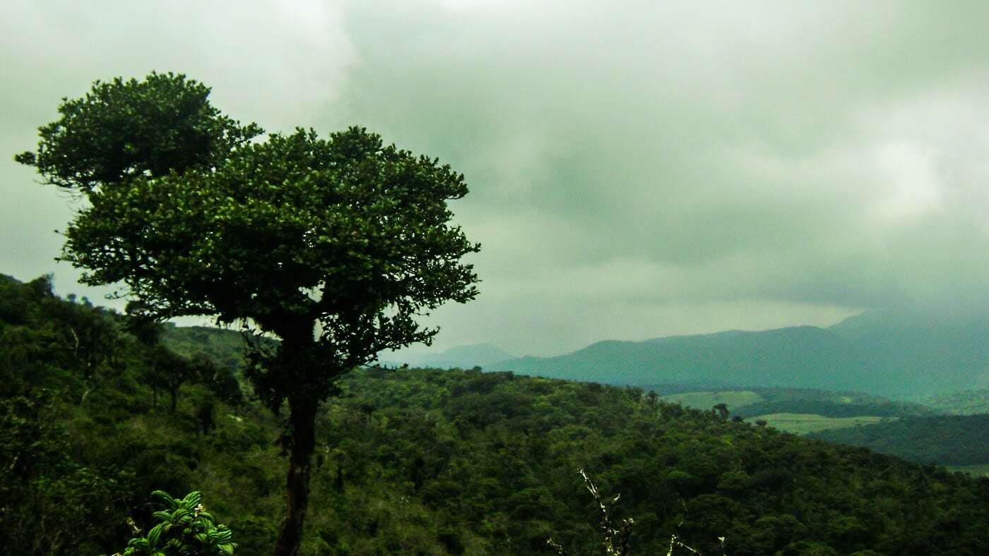
Totapolakanda is the third highest mountain in Sri Lanka situated in Nuwara Eliya district 2,357 m above mean sea level. The mountain is located within the Horton Plains National Park. A trail to the top of the mountain, about two kilometres long, starts a few metres away from the Pattipola entrance to the Horton Plains National Park.
-
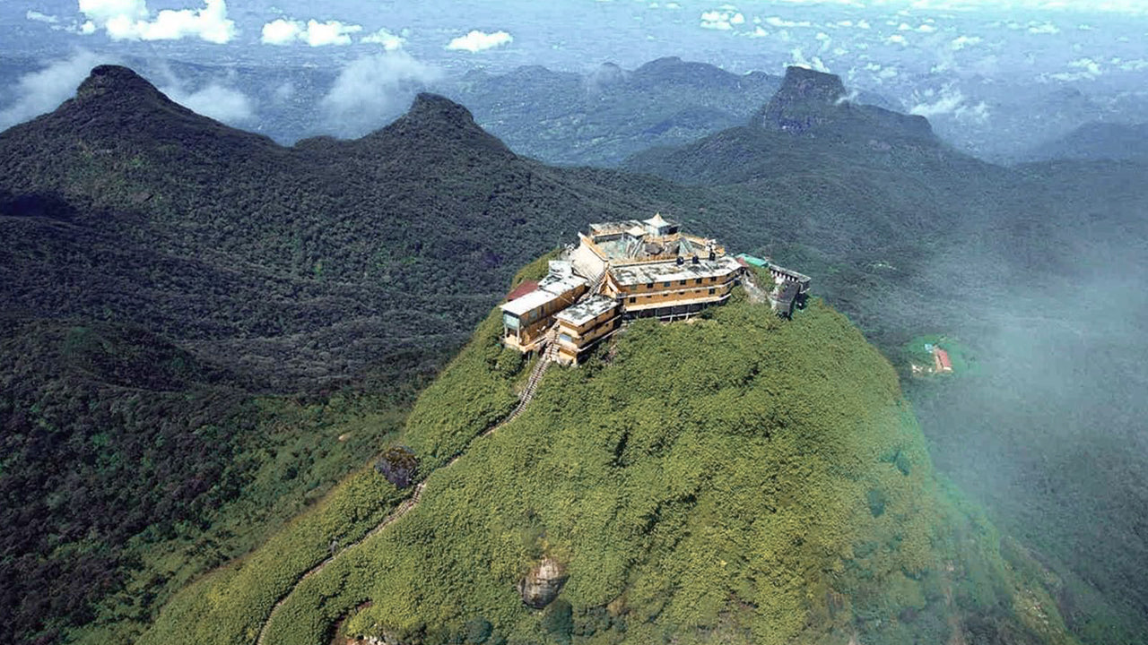 Adam’s Peak (Sri Pada Mountain)
The most famous physical feature of Ceylon is Adam’s Peak, which is situated in the Ratnapura district. It is on the edge of the central massif but its surrounding group of mountains called the Wilderness of the Peak . It is about 7500 ft high and, though it is the second-highest peak in the land.
-
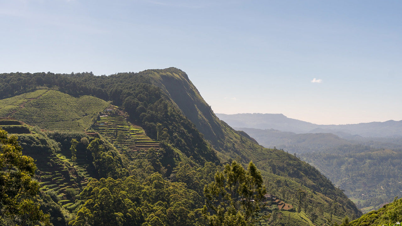 Hakgala Peak
Hakgala Peak is located in the central highlands of Sri Lanka, within theHakgala Strict Nature Reserve. It is situated near the town ofNuwara Eliyaand is part of theCentral Highlandsregion, which is known for its stunning landscapes and cooler climate.
-
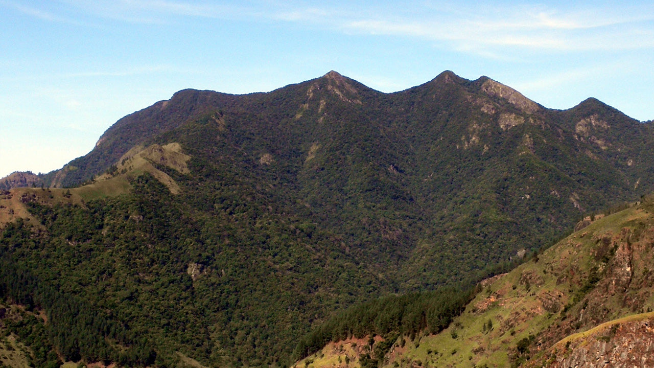 Gommolliya
Gommolliya Peak is part of theKnuckles Mountain Rangein central Sri Lanka, a UNESCO World Heritage Site known for its biodiversity and scenic beauty. The peak is located in theKandy District, which is in the central highlands of Sri Lanka.
-
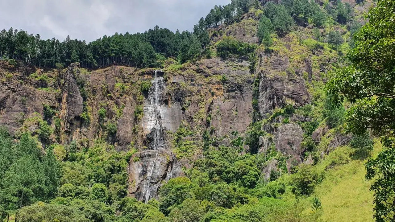 Bambarakanda Peak
Bambarakanda Peak is located in theBadulla Districtof Sri Lanka, within theUva Province. It is part of the central highlands and is situated near the famousBambarakanda Falls, the tallest waterfall in Sri Lanka. The area is renowned for its lush greenery, cool climate, and stunning natural beauty.
-
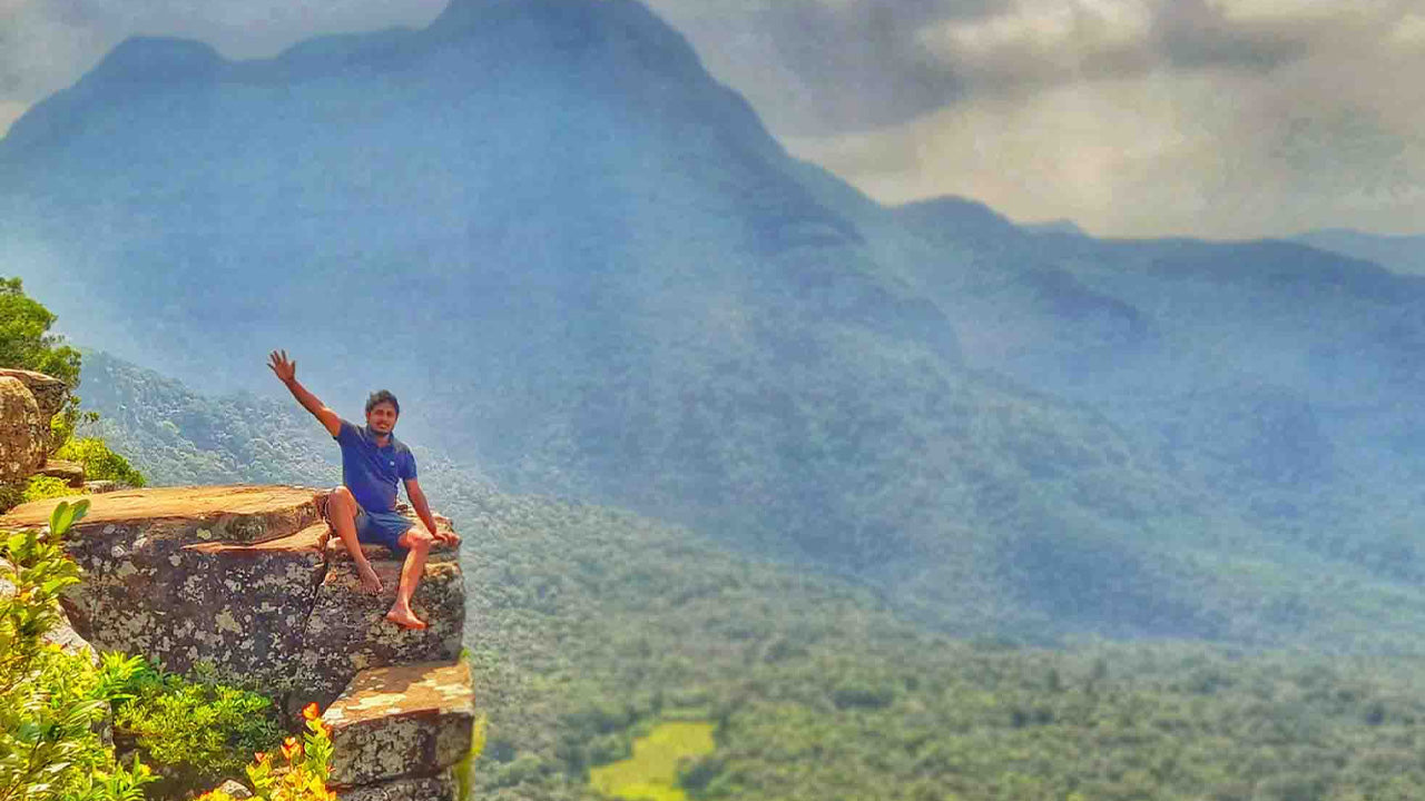 Riverston Peak
The Riverston Peak in Sri Lanka can be reached by travelling, about 30km away from the Matale town, down the Matale– Girandurukotte Road. This secretive windy road, with its sharp hairpin turns, offers some of the best views to the surrounding countryside; to the extent that it is called the Mini World’s End.