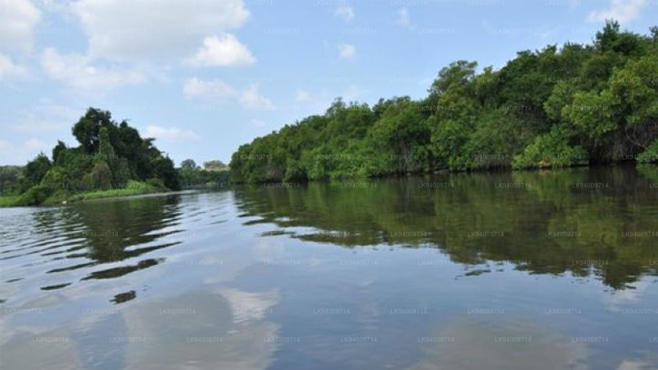
ジン ガンガ


ギンガンガは、スリランカの南部州にある重要な川で、バドゥラの近くの中央高地から始まります。森、谷、農地の風光明媚な景観を通り、最終的にはガレの沿岸地域に到達します。その多様な流れは、沿道のさまざまな生態系とコミュニティを支えており、南部地域の自然の美しさに貢献しています。
ギンガンガは、南部州の農業活動を支える重要な役割を果たしています。その水は、稲作、野菜栽培、果物の生産を支えるいくつかの灌漑システムに供給されています。この川は、ガレやマタラの農村コミュニティにとって特に重要で、農業や日常生活に必要な水を提供しています。川の貯水池、特に有名なギンガンガ貯水池は、これらの農業地帯への水供給を調整し、乾燥期にも作物が安定した灌漑を受けられるようにしています。
生態学的に、この川は地元の野生生物にとって生命線です。川の岸辺や周囲の湿地帯は、多くの植物や動物、例えば渡り鳥、淡水魚、そして爬虫類を育んでいます。低地の森を通過する際に、ギンガンガは地域の生物多様性にも貢献し、さまざまな種を支える生息地を守る役割を果たしています。川の河口や沿岸の湿地帯は、さらに地域の生態系を豊かにし、環境保護やエコツーリズムにおいて重要な場所となっています。
文化的には、ギンガンガはその岸辺に住む人々にとって重要です。何世代にもわたり、この川は農業コミュニティを支え、日常的に水を供給してきました。また、スリランカの南部地域の歴史的な地域を流れるため、地域の文化的慣習とも深く結びついています。今日でも、この川はガレやマタラの人々の生計にとって中心的な存在であり、地域の経済や文化的遺産に貢献しています。
洪水リスクと水文学的重要性
ギンガンガは農業や水供給にとって重要な役割を果たしている一方で、特に南西モンスーンの時期に季節的な洪水に見舞われることがあります。その洪水リスクを理解することは、南部地域の水資源管理やコミュニティ、農地を保護するために重要です。
- 現在の水文学的な観測値(公式報告):
バデガマ駅 – 小規模洪水レベル: 4.00 m, 大規模洪水レベル: 5.00 m, 現在の水位: 3.10 m (正常)。 - 洪水のリスクがある地域:この川の洪水リスクは、特に南西モンスーンの期間に、中央高地での降雨によって水流が増加するため、ガレやマタラの低地の農業地域や集落に影響を与えます。
- 流域の敏感性:バドゥラや中央高地の上流流域は、大雨時に急速な流出を引き起こし、下流で水位の急上昇を招きます。
- 農業への影響:洪水は灌漑チャネルを妨げ、作物を損なう可能性があり、農業活動に影響を与えます。特に、この川に依存する農地では、その影響が顕著です。
- 沿岸地域の排水の遅さ:川がガレ付近の沿岸に近づくにつれて流れが遅くなり、農地での水浸しや長期間にわたる洪水のリスクが増加します。
- 監視の重要性:定期的な水文学的監視は、洪水イベントを予測するために重要です。特に、都市部と農地が共存するようなガレのような脆弱な地域では、監視が必要です。
- 季節的な降水リスク:この川は南西モンスーンの間に最も高い洪水リスクを持ち、強い降雨により水位が急激に上昇する可能性が高くなります。
「ギンガンガ」は、南部州の農業や地域コミュニティにとって重要な資源であり続けていますが、その季節的な洪水への敏感さにより、引き続き監視と洪水管理戦略の改善が重要です。


-
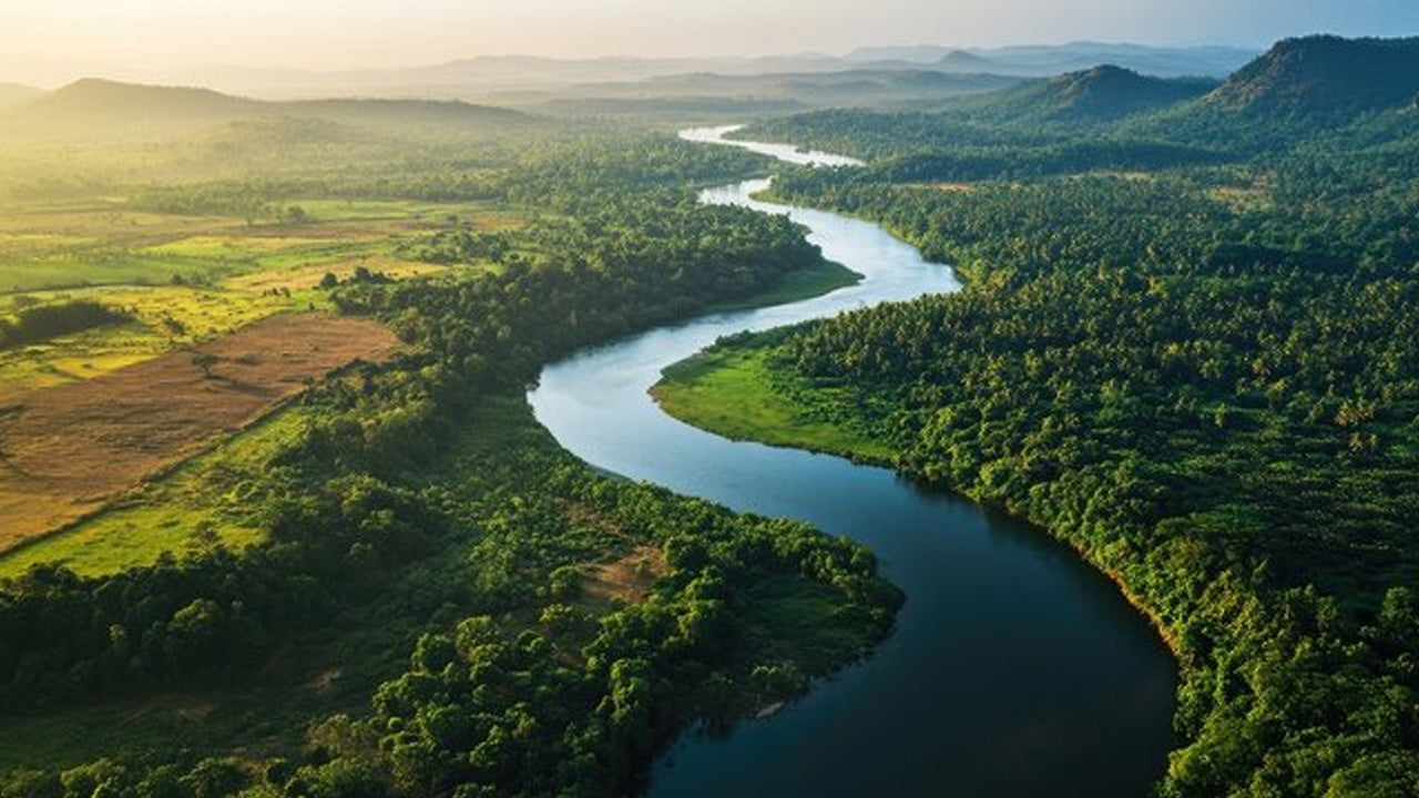 Mahaweli River
Explore the majestic Mahaweli River, Sri Lanka’s longest river, offering serene boat rides and opportunities for birdwatching and nature adventures along its winding course through scenic valleys.
-
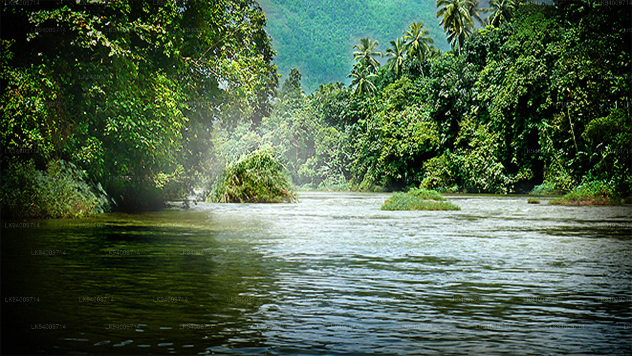 Kelani River
The Kelani River is a 145-kilometre-long (90 mi) river in Sri Lanka. It flows through or borders the Sri Lankan districts of Nuwara Eliya, Ratnapura, Kegalle, Gampaha and Colombo.
-
 Kalu Ganga
Kalu Ganga is a river in Sri Lanka. Measuring 129 km (80 mi) in length. The mountainous forests in the Province and the Sinharaja Forest Reserve are the main sources of water for the river.
-
 Walawe River
The southern region of Sri Lanka is exalted by a bushel of enthralling and glorified rivers and the Walawe River is one of them. Gently flowing through the Udawalawe National Park, the Walawe River provides water for a multitude of species of mesmerising fauna.
-
 Deduru Oya
The Deduru Oya Dam is an embankment dam built across the Deduru River in Kurunegala District of Sri Lanka. Built in 2014, the primary purpose of the dam is to retain approximately a billion cubic metres of water for irrigation purposes, which would otherwise flow out to sea.
-
 Malwathu Oya
The Malvathu River long river in Sri Lanka, connecting the city of Anuradhapura, which was the capital of the country for over 15 centuries, to the coast of Mannar. It currently ranks as the second longest river in the country, with a great historic significance.
-
 Kala Oya
It was around these ancient tank (water storage reservoir) irrigation systems that the economy and human settlements of early Sri Lankan society were organised into a “hydraulic civilization”.
-
 Gal Oya
Discover Gal Oya, a tranquil sanctuary in Sri Lanka, known for its lush landscapes, rich wildlife, and serene boat safaris, offering a peaceful retreat surrounded by nature and wildlife.
-
 Gin Ganga
The Gin Ganga, is a 115.9 km (72 mi) long river situated in Galle District of Sri Lanka. The river's headwaters are located near Deniyaya, bordering the Sinharaja Forest Reserve.
-
 Kirindi Oya
Experience the serene beauty of Kirindi Oya, a tranquil river in Sri Lanka. Enjoy scenic boat rides, lush landscapes, and opportunities for birdwatching, offering a peaceful escape into nature.
-
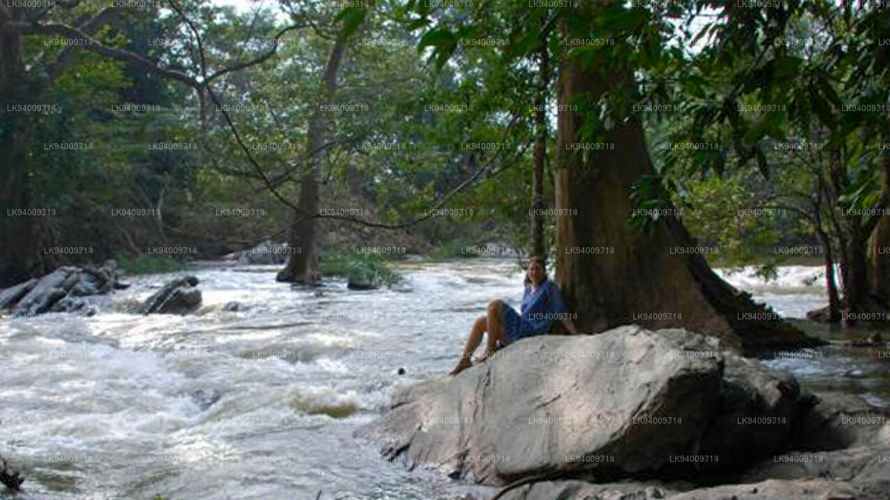 Kumbukkan Oya
The Kumbukkan Oya is the twelfth-longest river of Sri Lanka. It is approximately 116 km (72 mi) long. Its catchment area receives approximately 2,115 million cubic metres of rain per year.
-
 Maduru Oya
The Maduru Oya is a major stream in the North Central Province of Sri Lanka. It is approximately 135 km (84 mi) in length. approximately 3,060 million cubic metres of rain per year
-
 Manik River
Explore the peaceful Manik River, surrounded by lush greenery and rich wildlife. Enjoy scenic boat rides and nature walks, offering a serene and refreshing experience.
-
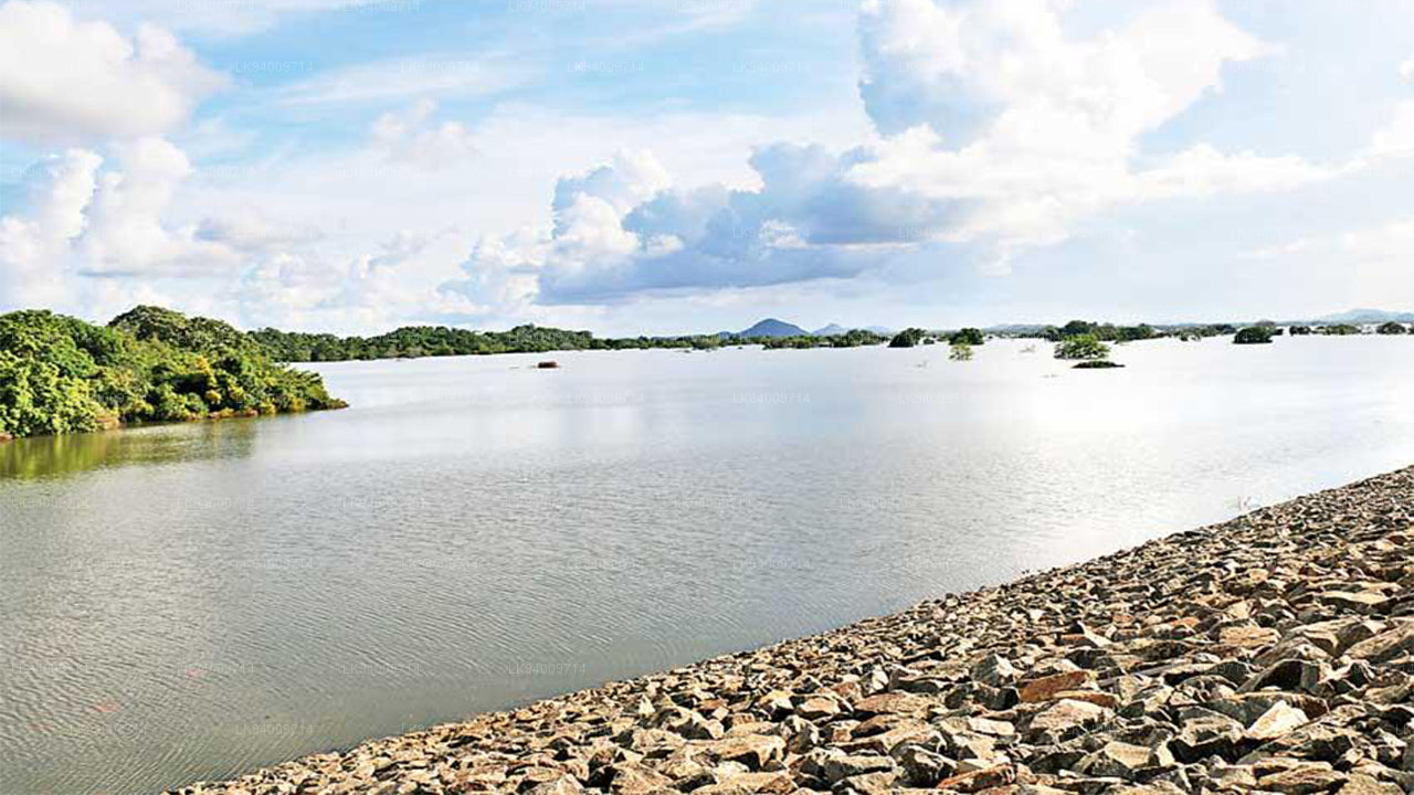 Yan Oya
The Yan Oya, 142 km long and receives 2,371 million cubic meters of rainfall annually, with 17% flowing to the sea. Its catchment area covers 1,520 square kilometers.