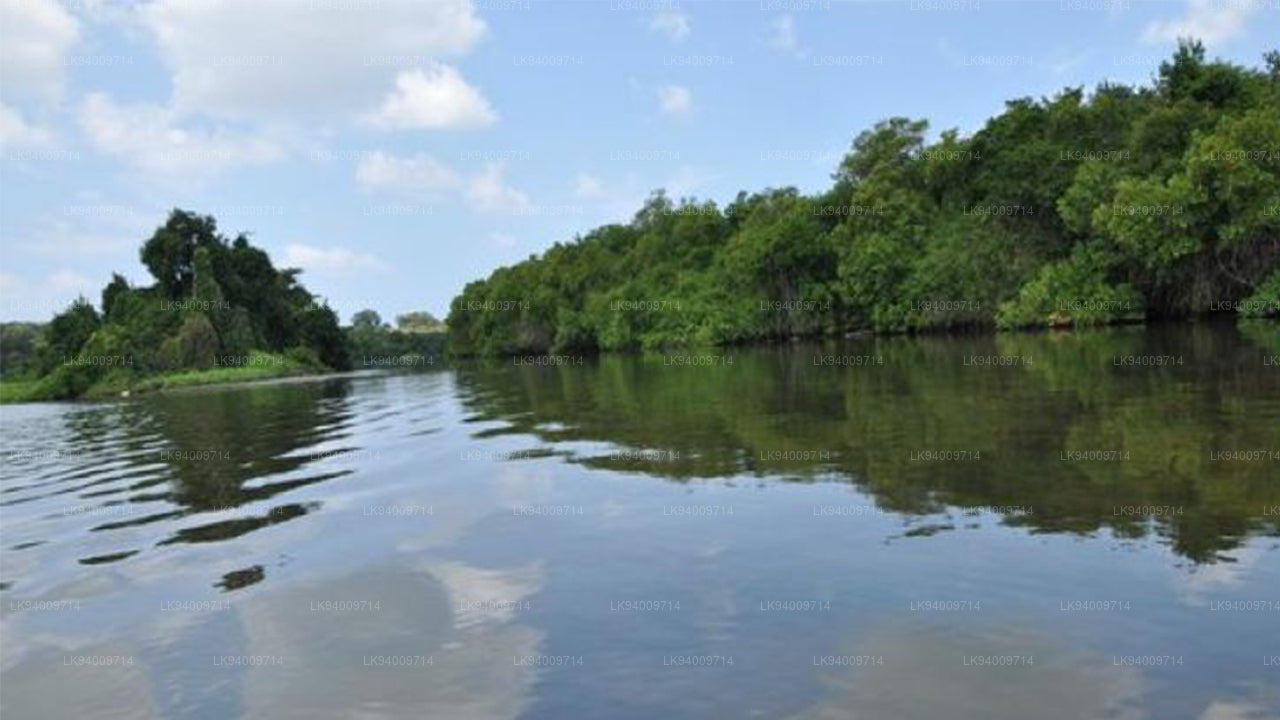
ヤン・オヤ


ヤンオヤ川は、スリランカの 北中央 地域における重要な川で、ホロポタナ周辺の丘陵地帯から発し、乾燥地帯を流れた後、プッタラムのラグーンで海と合流します。この川は地域の農業にとって重要な役割を果たしており、灌漑、家畜、水道用水の供給を行っています。平坦な平野や農地を流れるその道は、地域の風景に欠かせない一部となっており、農村コミュニティにとって生命線となっています。
この川の重要性は、特に 北中央州の灌漑システムへの貢献において明らかです。ヤンオヤ川の流域には、ウェリオヤ貯水池などのいくつかの貯水池やタンクがあり、これらはヤンオヤ川から水を供給されています。この水源のネットワークは、大規模な米作や野菜栽培、その他の 農業活動 を支えており、乾燥した気候にもかかわらず、この地域が繁栄するための助けとなっています。また、川は小規模な漁業や産業にも水を提供し、農村経済にとって重要な資源となっています。
生態学的に、ヤンオヤ川は乾燥地帯の 生物多様性 を維持するために重要です。この川の水は湿地や低地の生態系を養い、様々な植物や動物の種、特に渡り鳥や 淡水魚 を支えています。この川の生態系維持における役割は、環境保護と地域の エコツーリズム にとって重要です。川の近くにある地域を訪れる観光客は、バードウォッチング や釣り、自然散策などを楽しむことができ、これらの活動は地域経済に貢献します。
文化的に、ヤンオヤ川は 北中央州 の人々と深く結びついています。何世代にもわたり、この川は農業コミュニティを支え、農業用水を提供し、生計を支えています。その文化的な重要性は日常生活を超えており、川は地域の伝統、祭り、精神的な実践にも関わっています。この川は単なる水源にとどまらず、その流域に住む人々の忍耐力の象徴でもあり、農業や家庭のニーズにおいて今なお依存されています。
洪水リスクと水文学的な重要性
ヤンオヤ川は、スリランカの乾燥地帯にある多くの川と同様に、特に上流の集水域で強い雨が降る時期に水位の季節的な変動に敏感です。この川の洪水挙動を理解することは、水資源管理や洪水リスクの管理にとって重要であり、特にホロポタナ、アヌラーダプラ、および プッタラム 地域での影響を理解するために必要です。
- 現在の水文学的測定(公式報告):
ホロポタナ駅 - 小規模洪水レベル:7.50m、大規模洪水レベル:10.50m、現在のレベル:8.39m(小規模洪水、上昇中)。 - 洪水リスクのある地域:ホロポタナ、アヌラーダプラ、および プッタラム 周辺の地域は、強い雨が降ると川の水位が急激に上昇し、洪水のリスクにさらされます。
- 集水域の敏感性:川の集水域は、北中央山地の一部を含み、モンスーンの降雨時に急激な流出を経験し、短期間で水流が急増します。
- 農業への影響:洪水は灌漑システムを中断し、農地を浸水させ、特にアヌラーダプラの下流地域にある米や野菜の栽培に被害を与える可能性があります。
- 都市の洪水リスク:プッタラムの町とその周辺の集落は、大雨の時期に洪水のリスクがあり、交通やインフラに影響を与える可能性があります。
- 監視の重要性:定期的な水文学的データ収集と洪水予測は、特にモンスーンの季節中に、農業や都市の定住地への影響を管理するために不可欠です。
- 季節的な降雨リスク:この川の洪水リスクは、北東モンスーンの間に最も高くなり、上流の流域で降雨が発生すると、下流で水位が急速に上昇します。
ヤンオヤ川は、北中央州における農業および生態学的なニーズにとって、依然として重要な資源です。正確な水文学的監視を維持し、洪水対策を強化することは、今後の洪水リスクを減少させ、この地域の持続的な繁栄を確保するために必要不可欠です。


-
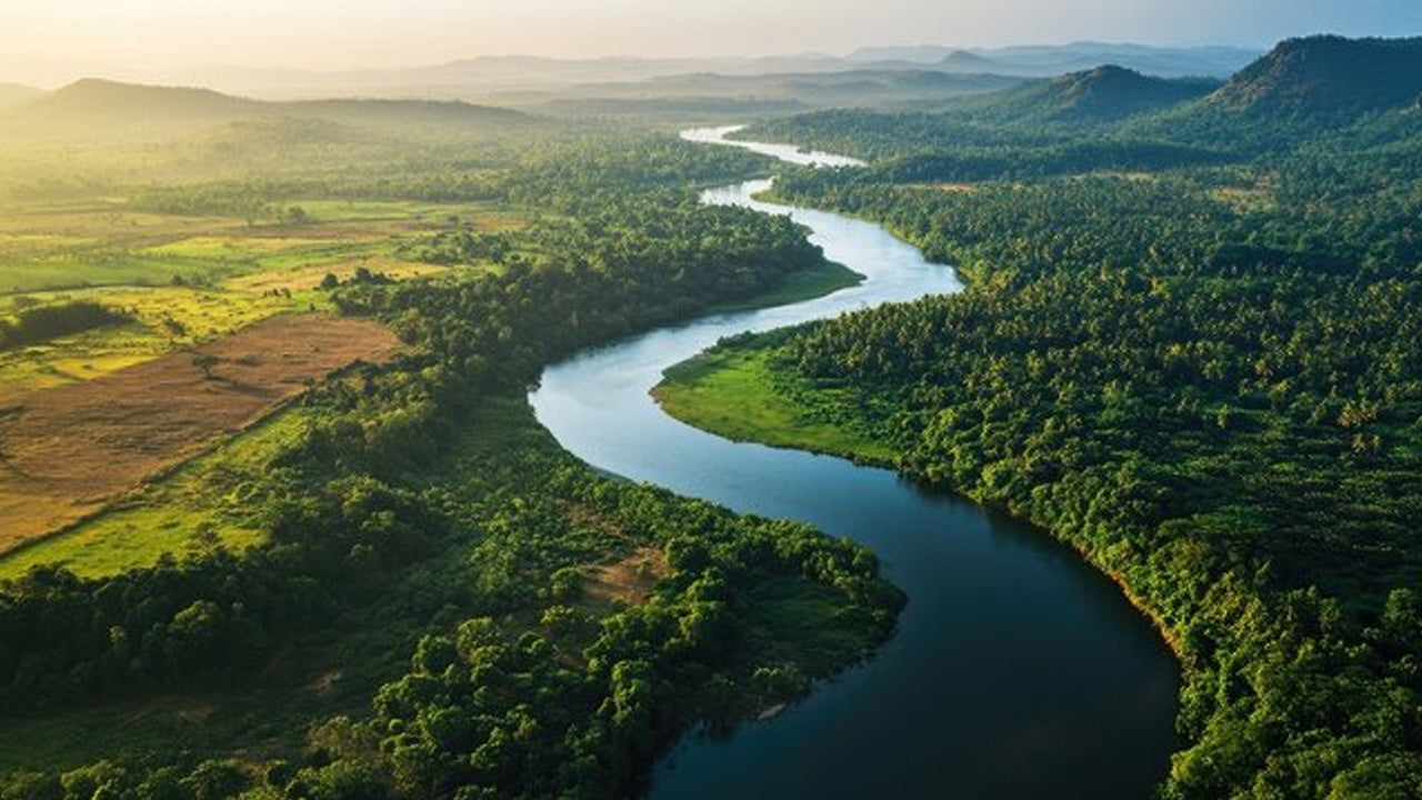 Mahaweli River
Explore the majestic Mahaweli River, Sri Lanka’s longest river, offering serene boat rides and opportunities for birdwatching and nature adventures along its winding course through scenic valleys.
-
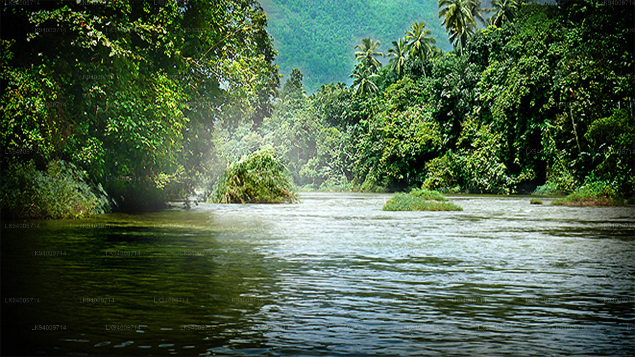 Kelani River
The Kelani River is a 145-kilometre-long (90 mi) river in Sri Lanka. It flows through or borders the Sri Lankan districts of Nuwara Eliya, Ratnapura, Kegalle, Gampaha and Colombo.
-
 Kalu Ganga
Kalu Ganga is a river in Sri Lanka. Measuring 129 km (80 mi) in length. The mountainous forests in the Province and the Sinharaja Forest Reserve are the main sources of water for the river.
-
 Walawe River
The southern region of Sri Lanka is exalted by a bushel of enthralling and glorified rivers and the Walawe River is one of them. Gently flowing through the Udawalawe National Park, the Walawe River provides water for a multitude of species of mesmerising fauna.
-
 Deduru Oya
The Deduru Oya Dam is an embankment dam built across the Deduru River in Kurunegala District of Sri Lanka. Built in 2014, the primary purpose of the dam is to retain approximately a billion cubic metres of water for irrigation purposes, which would otherwise flow out to sea.
-
 Malwathu Oya
The Malvathu River long river in Sri Lanka, connecting the city of Anuradhapura, which was the capital of the country for over 15 centuries, to the coast of Mannar. It currently ranks as the second longest river in the country, with a great historic significance.
-
 Kala Oya
It was around these ancient tank (water storage reservoir) irrigation systems that the economy and human settlements of early Sri Lankan society were organised into a “hydraulic civilization”.
-
 Gal Oya
Discover Gal Oya, a tranquil sanctuary in Sri Lanka, known for its lush landscapes, rich wildlife, and serene boat safaris, offering a peaceful retreat surrounded by nature and wildlife.
-
 Gin Ganga
The Gin Ganga, is a 115.9 km (72 mi) long river situated in Galle District of Sri Lanka. The river's headwaters are located near Deniyaya, bordering the Sinharaja Forest Reserve.
-
 Kirindi Oya
Experience the serene beauty of Kirindi Oya, a tranquil river in Sri Lanka. Enjoy scenic boat rides, lush landscapes, and opportunities for birdwatching, offering a peaceful escape into nature.
-
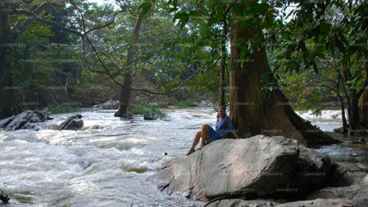 Kumbukkan Oya
The Kumbukkan Oya is the twelfth-longest river of Sri Lanka. It is approximately 116 km (72 mi) long. Its catchment area receives approximately 2,115 million cubic metres of rain per year.
-
 Maduru Oya
The Maduru Oya is a major stream in the North Central Province of Sri Lanka. It is approximately 135 km (84 mi) in length. approximately 3,060 million cubic metres of rain per year
-
 Manik River
Explore the peaceful Manik River, surrounded by lush greenery and rich wildlife. Enjoy scenic boat rides and nature walks, offering a serene and refreshing experience.
-
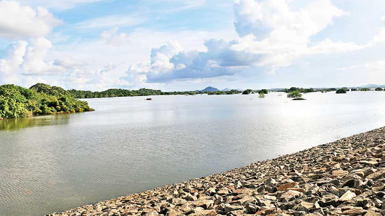 Yan Oya
The Yan Oya, 142 km long and receives 2,371 million cubic meters of rainfall annually, with 17% flowing to the sea. Its catchment area covers 1,520 square kilometers.