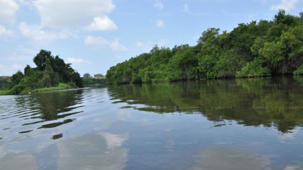
ケラニ川
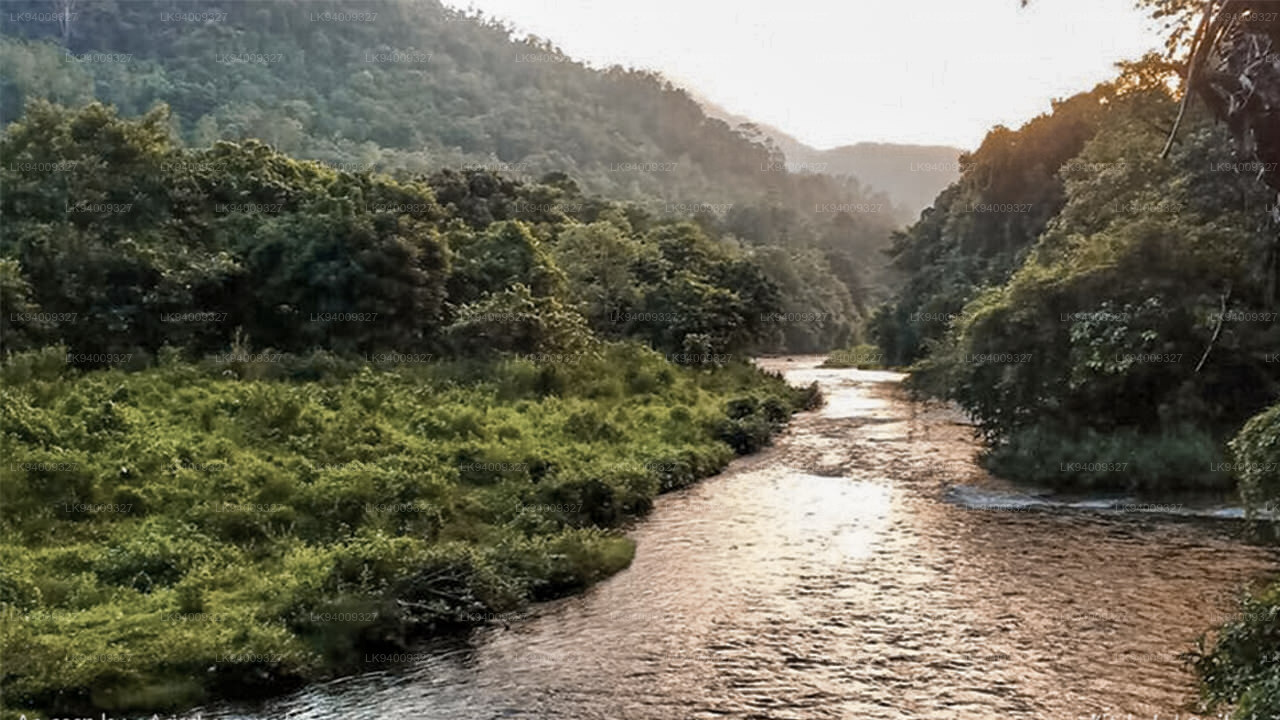
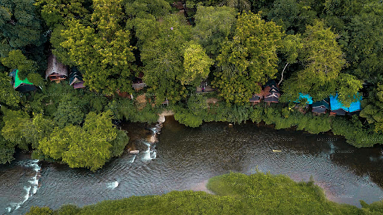
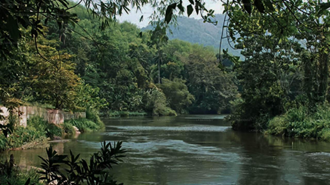
ケラニ川は、スリランカを流れる長さ 145 キロメートル (90 マイル) の川です。国内で 4 番目に長い川としてランクされており、スリ パダ山脈からコロンボまで伸びています。ヌワラエリヤ、ラトナプラ、ケーガッラ、ガンパハ、コロンボのスリランカ地区を通過または隣接しています。ケラニ川はスリランカの首都コロンボにも流れ、飲料水の 80% を供給しています。ケラニ川の上流には、ケヘルガム オヤ川とマスケリ オヤ川という 2 つの主要な支流があります。これら 2 つはスリランカの水力発電に貢献しており、いくつかの主要な貯水池、池、発電所を擁しています。キャッスルリー貯水池とノートン貯水池はケヘルガム オヤを越えて建設され、マスケリヤ貯水池、キャニオン貯水池、ラクサパナ貯水池はマスケリ オヤを越えて建設されます。下流ではさらにいくつかの支流がケラニ川に接続しており、その中で最も有名なのはヤティヤンソタのウィー・オヤ、ルワンウェラのグルゴダ・オヤ、アヴィサウェラのシーサワカ・ガンガーです。
ケラニ川はコロンボで使用される水の約 80% を供給しています。さらに、川は輸送、漁業、砂の採掘、水力発電にも使用されています。これらの要因により、多くの人々が日常生活を川に依存しています。現在、川に関連した 2 つの主な懸念は、モンスーン時の洪水と乾季の塩水の侵入です。さらに、ケラニ川の水位は、スリランカの首都コロンボの洪水リスクにかなりの程度影響を与えます。その理由の 1 つは、コロンボ市と郊外の一部が川の下流の氾濫原に位置していることです。コロンボとケラニ川上流域が南西モンスーンにさらされていることも理由の一つです。
問題は関連しています。砂の採掘によって川が深くなったことで、塩水の侵入が促進されました。塩水の侵入を防ぐための規制は、別の方法で水質を低下させ、洪水のリスクを高める可能性があります。砂の採掘は、国にとって、そして多くの関係者にとって経済的に重要です。ケラニ川はスリランカのシンハラ仏教文化、特にケラニ渓谷と呼ばれる地域に住む人々と密接に関係しています。これは主に、ケラニ川が最も尊敬される 2 つの仏教寺院と巡礼地、すなわちスリ パダ山とケラニ ラジャ マハ ヴィハーラヤに関連しているという事実に由来しています。
洪水リスクと水文学的重要性
広大な流域面積と人口密集地域を直接流れるため、ケラニ川はスリランカで最も監視されている川の一つです。山岳地帯での豪雨は水位を急速に上昇させ、上流と下流の両方の地区に影響を与える可能性があります。効果的な洪水管理には正確な監視が不可欠です。
- 現在の水文学的データ(公式報告書):
ナガラガム通り – 軽度の洪水レベル: 5.00フィート、重大な洪水レベル: 7.00フィート、現在のレベル: 5.70フィート(軽度の洪水)。
ハンウェラ – 軽度の洪水レベル: 8.00メートル、重大な洪水レベル: 10.00メートル、現在のレベル: 9.15メートル(軽度の洪水、上昇中)。
グレンコース – 軽度の洪水レベル: 16.50メートル、重大な洪水レベル: 19.00メートル、現在のレベル: 20.17メートル(重大な洪水、上昇中)。
キトゥルガラ – 軽度の洪水レベル: 4.00メートル、重大な洪水レベル: 6.00メートル、現在のレベル: 6.48メートル(重大な洪水、上昇中)。 - 高リスク地区: コロンボ、ガンパハ、ケガレは水位が上昇すると直接的に影響を受け、特に低地や川沿いの集落で顕著です。
- 上流からの迅速な反応: 中央高地の急勾配により、降雨が川に迅速に流れ込み、下流に急激な増水を引き起こすことがあります。
- 都市部での洪水の可能性: 川がコロンボに流れ込むと、高水位が住宅地や商業地に溢れ、交通やインフラに影響を与える可能性があります。
- 支流の影響: グルゴダオヤやシータワカガンガなどの支流が同時に増水し、モンスーン時に主要な川の流量を増加させることがあります。
- ダムと発電への影響: 大量の流れが水力発電の運転に影響を与え、放流量が増加し、下流での洪水状況を悪化させることがあります。
- 継続的な測定の必要性: 複数の測定点で水位が上昇していることは、地域社会への早期警告を提供するためにリアルタイムでの監視が必要であることを示しています。
ケラニ川は、その自然の美しさと経済的貢献の両方でスリランカで最も重要で影響力のある川の一つです。しかし、その豪雨への感受性と、人口密集地を流れるため、洪水リスクを減らし、その水に依存する人々を保護するためには、強力な監視と準備が不可欠です。


-
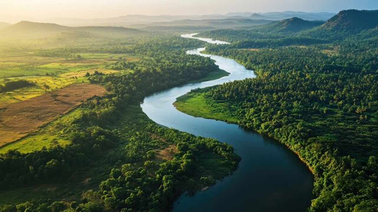 Mahaweli River
Explore the majestic Mahaweli River, Sri Lanka’s longest river, offering serene boat rides and opportunities for birdwatching and nature adventures along its winding course through scenic valleys.
-
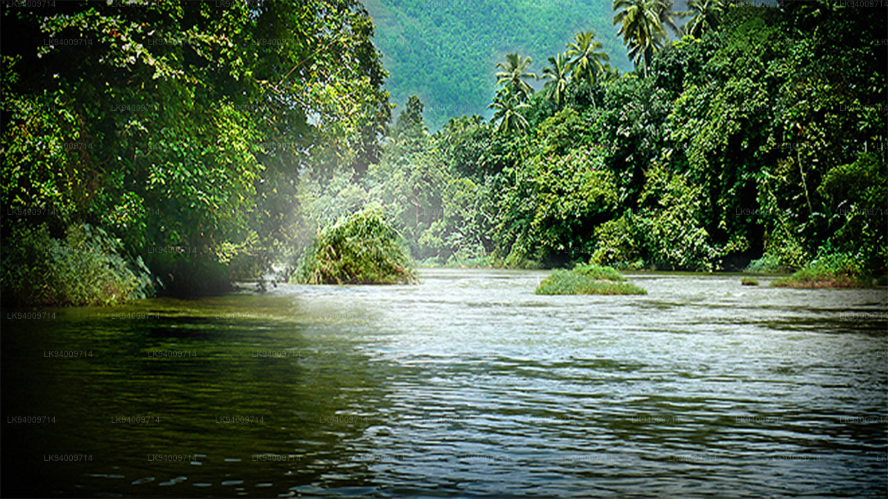 Kelani River
The Kelani River is a 145-kilometre-long (90 mi) river in Sri Lanka. It flows through or borders the Sri Lankan districts of Nuwara Eliya, Ratnapura, Kegalle, Gampaha and Colombo.
-
 Kalu Ganga
Kalu Ganga is a river in Sri Lanka. Measuring 129 km (80 mi) in length. The mountainous forests in the Province and the Sinharaja Forest Reserve are the main sources of water for the river.
-
 Walawe River
The southern region of Sri Lanka is exalted by a bushel of enthralling and glorified rivers and the Walawe River is one of them. Gently flowing through the Udawalawe National Park, the Walawe River provides water for a multitude of species of mesmerising fauna.
-
 Deduru Oya
The Deduru Oya Dam is an embankment dam built across the Deduru River in Kurunegala District of Sri Lanka. Built in 2014, the primary purpose of the dam is to retain approximately a billion cubic metres of water for irrigation purposes, which would otherwise flow out to sea.
-
 Malwathu Oya
The Malvathu River long river in Sri Lanka, connecting the city of Anuradhapura, which was the capital of the country for over 15 centuries, to the coast of Mannar. It currently ranks as the second longest river in the country, with a great historic significance.
-
 Kala Oya
It was around these ancient tank (water storage reservoir) irrigation systems that the economy and human settlements of early Sri Lankan society were organised into a “hydraulic civilization”.
-
 Gal Oya
Discover Gal Oya, a tranquil sanctuary in Sri Lanka, known for its lush landscapes, rich wildlife, and serene boat safaris, offering a peaceful retreat surrounded by nature and wildlife.
-
 Gin Ganga
The Gin Ganga, is a 115.9 km (72 mi) long river situated in Galle District of Sri Lanka. The river's headwaters are located near Deniyaya, bordering the Sinharaja Forest Reserve.
-
 Kirindi Oya
Experience the serene beauty of Kirindi Oya, a tranquil river in Sri Lanka. Enjoy scenic boat rides, lush landscapes, and opportunities for birdwatching, offering a peaceful escape into nature.
-
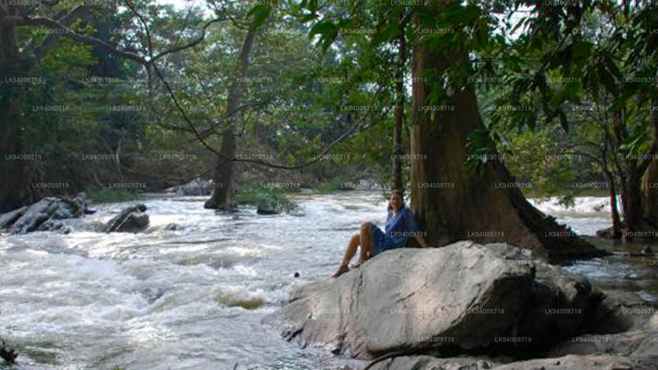 Kumbukkan Oya
The Kumbukkan Oya is the twelfth-longest river of Sri Lanka. It is approximately 116 km (72 mi) long. Its catchment area receives approximately 2,115 million cubic metres of rain per year.
-
 Maduru Oya
The Maduru Oya is a major stream in the North Central Province of Sri Lanka. It is approximately 135 km (84 mi) in length. approximately 3,060 million cubic metres of rain per year
-
 Manik River
Explore the peaceful Manik River, surrounded by lush greenery and rich wildlife. Enjoy scenic boat rides and nature walks, offering a serene and refreshing experience.
-
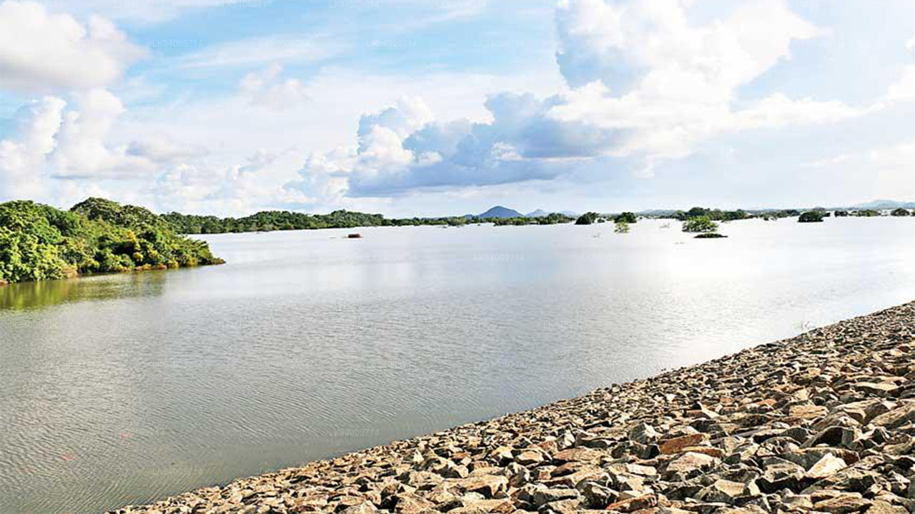 Yan Oya
The Yan Oya, 142 km long and receives 2,371 million cubic meters of rainfall annually, with 17% flowing to the sea. Its catchment area covers 1,520 square kilometers.