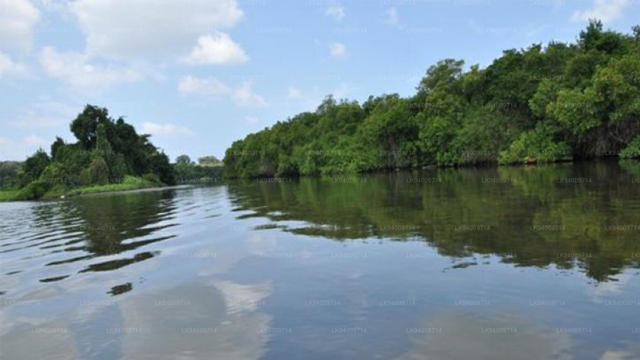
河川
-
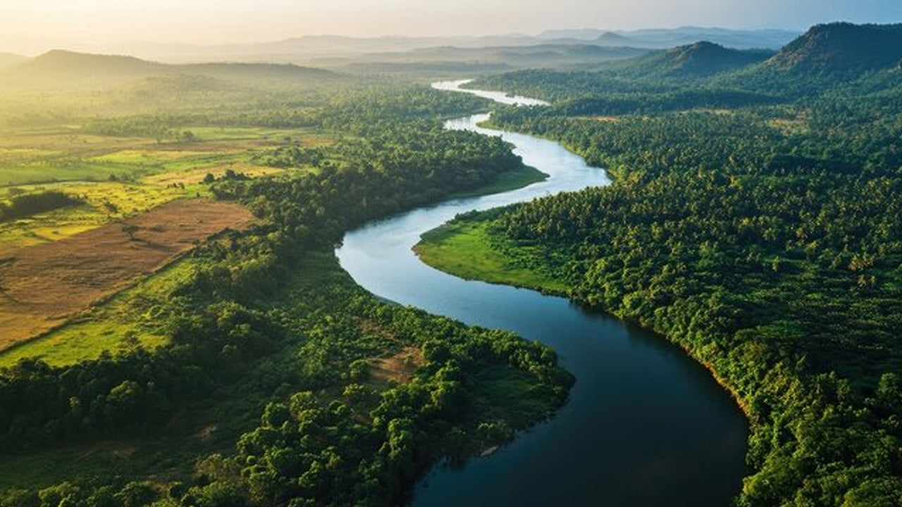 Mahaweli River
Explore the majestic Mahaweli River, Sri Lanka’s longest river, offering serene boat rides and opportunities for birdwatching and nature adventures along its winding course through scenic valleys.
-
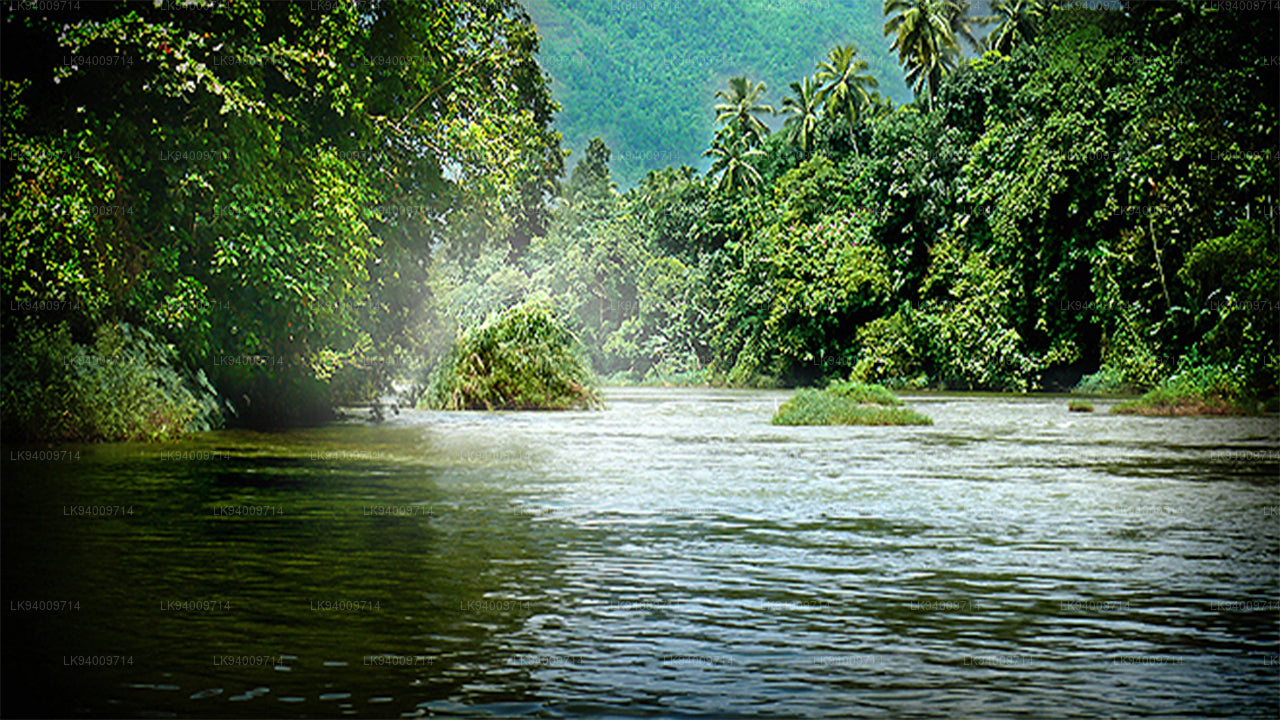 Kelani River
The Kelani River is a 145-kilometre-long (90 mi) river in Sri Lanka. It flows through or borders the Sri Lankan districts of Nuwara Eliya, Ratnapura, Kegalle, Gampaha and Colombo.
-
 Kalu Ganga
Kalu Ganga is a river in Sri Lanka. Measuring 129 km (80 mi) in length. The mountainous forests in the Province and the Sinharaja Forest Reserve are the main sources of water for the river.
-
 Walawe River
The southern region of Sri Lanka is exalted by a bushel of enthralling and glorified rivers and the Walawe River is one of them. Gently flowing through the Udawalawe National Park, the Walawe River provides water for a multitude of species of mesmerising fauna.
-
 Deduru Oya
The Deduru Oya Dam is an embankment dam built across the Deduru River in Kurunegala District of Sri Lanka. Built in 2014, the primary purpose of the dam is to retain approximately a billion cubic metres of water for irrigation purposes, which would otherwise flow out to sea.
-
 Malwathu Oya
The Malvathu River long river in Sri Lanka, connecting the city of Anuradhapura, which was the capital of the country for over 15 centuries, to the coast of Mannar. It currently ranks as the second longest river in the country, with a great historic significance.
-
 Kala Oya
It was around these ancient tank (water storage reservoir) irrigation systems that the economy and human settlements of early Sri Lankan society were organised into a “hydraulic civilization”.
-
 Gal Oya
Discover Gal Oya, a tranquil sanctuary in Sri Lanka, known for its lush landscapes, rich wildlife, and serene boat safaris, offering a peaceful retreat surrounded by nature and wildlife.
-
 Gin Ganga
The Gin Ganga, is a 115.9 km (72 mi) long river situated in Galle District of Sri Lanka. The river's headwaters are located near Deniyaya, bordering the Sinharaja Forest Reserve.
-
 Kirindi Oya
Experience the serene beauty of Kirindi Oya, a tranquil river in Sri Lanka. Enjoy scenic boat rides, lush landscapes, and opportunities for birdwatching, offering a peaceful escape into nature.
-
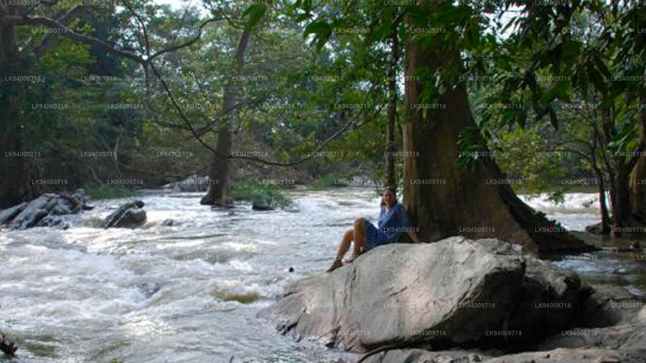 Kumbukkan Oya
The Kumbukkan Oya is the twelfth-longest river of Sri Lanka. It is approximately 116 km (72 mi) long. Its catchment area receives approximately 2,115 million cubic metres of rain per year.
-
 Maduru Oya
The Maduru Oya is a major stream in the North Central Province of Sri Lanka. It is approximately 135 km (84 mi) in length. approximately 3,060 million cubic metres of rain per year
-
 Manik River
Explore the peaceful Manik River, surrounded by lush greenery and rich wildlife. Enjoy scenic boat rides and nature walks, offering a serene and refreshing experience.
-
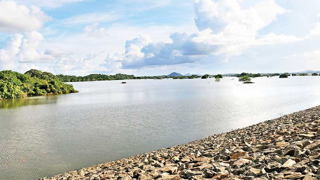 Yan Oya
The Yan Oya, 142 km long and receives 2,371 million cubic meters of rainfall annually, with 17% flowing to the sea. Its catchment area covers 1,520 square kilometers.