Rajagala monastery Complex

Rajagala monastery Complex Rajagala monastery Complex Rajagala monastery Complex

Rajagala (Rassagala or Rajagalathenna) is a place which reveals the splendour of Sri Lanka’s prehistoric era to the world. The place consists of more than 500 ruins and artifacts of a Buddhist temple.

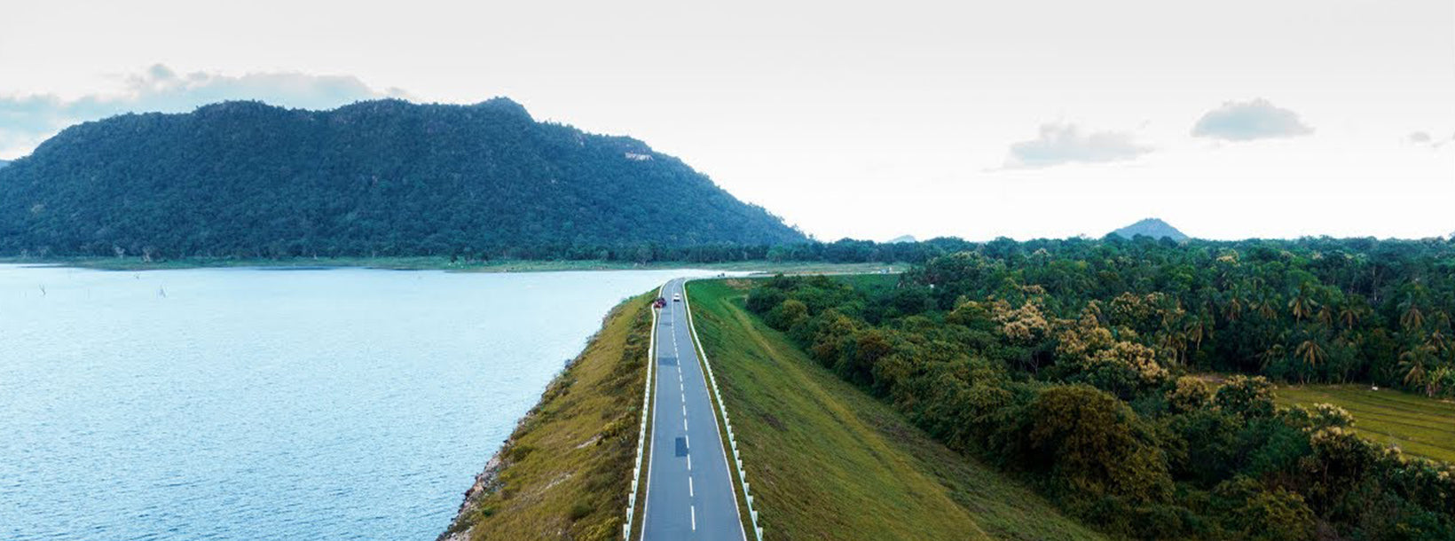
It is situated in the Ampara district, in the Eastern Province. Rajagala is a rugged and thickly forested mountain on this sparsely populated and rarely visited part of Sri Lanka. Rassagala is situated 1,038 feet above sea level. This archaeological site spreads over 300 acres.

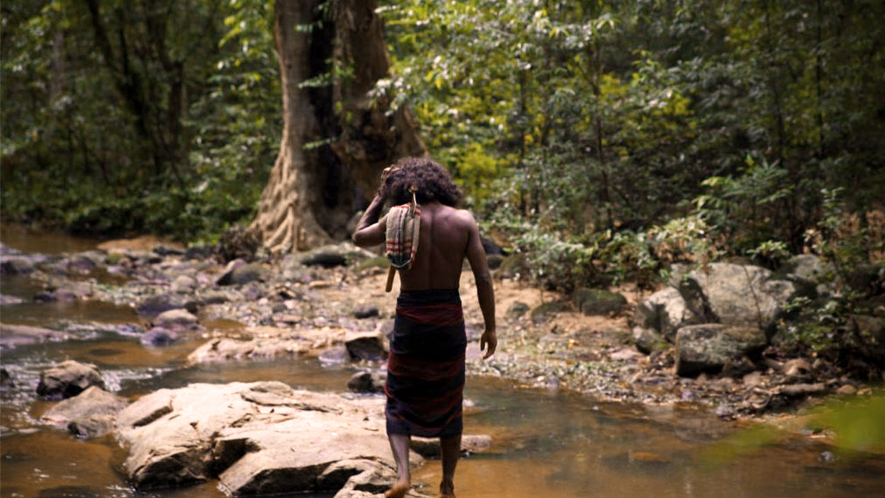
The history of the place is not definite, but monks are believed to have inhabited it between the 10th and 3rdcenturies BC. ‘Shila Lipi’ (stone inscriptions) belonging to that period have been found at the site. All over the northern summit of the mountain, extensive ruins have been recovered from the thick jungle, and some are only half excavated.

Artifacts at Rajagala Monastery

There are some drawings on the stone, done with ash or chalk, which are believed to have been done by the adivasies (indigenous) people. Believed that these drawings belong to the prehistoric era.

There are caves that were used as houses for the monks.

The stone inscriptions found here belong to the Anuradhapura era.

At most of the entrances at the site, there is a korawak gala (a stone balustrade), a muragala (guardstone) and a sandakadapahana (moonstone).

Rajagala monastery Complex Rajagala monastery Complex Rajagala monastery Complex

?LK94007439: Text by Lakpura™. Images by Google, copyright(s) reserved by original authors.?

Om Ampara Distrikt

Ampara tilhører Østprovinsen i Sri Lanka. Det er en afsidesliggende by på østkysten af Sri Lanka, cirka 360 km fra hovedstaden Colombo. Ampara er den største rismarkedsprovins i landet og har Det Indiske Ocean på østkysten af Sri Lanka som en fiskeriressource. De fleste af befolkningen er singalesere, mens tamiler og moorer også bor i de kystnære områder af distriktet.

Om Østprovinsen

Østprovinsen er en af Sri Lankas 9 provinser. Provinsen har eksisteret siden det 19. århundrede, men fik først juridisk status i 1987, da den 13. ændring af Sri Lankas forfatning etablerede provinsråd. Mellem 1988 og 2006 blev provinsen midlertidigt fusioneret med Nordprovinsen for at danne Nordøstprovinsen. Hovedstaden i provinsen er Trincomalee.

Østprovinsens befolkning var 1.460.939 i 2007. Provinsen er den mest etnisk og religiøst mangfoldige i Sri Lanka.

Østprovinsen har et areal på 9.996 kvadratkilometer (3.859,5 kvadratmil). Provinsen er omgivet af Nordprovinsen mod nord, Bengaliske Bugt mod øst, Sydprovinsen mod syd og Uva, Central og Nord-Central provinserne mod vest. Provinsens kystlinje er præget af flere store laguner, herunder Batticaloa-lagunen, Kokkilai-lagunen, Upaar-lagunen og Ullackalie-lagunen.