
Lahugala Neelagiri Maha Seya


Lahugala Neelagiri Maha Seya is an ancient Buddhist stupa located in the Eastern Province of Sri Lanka, near the town of Lahugala. This sacred site is renowned for its spiritual significance and historical importance, believed to have been established during the reign of King Kavantissa in the 2nd century BCE. The stupa is an important pilgrimage destination, housing sacred relics of the Buddha.
The stupa's design is typical of ancient Sri Lankan Buddhist architecture, with a dome-shaped structure surrounded by smaller shrines and remnants of monastic complexes. Lahugala Neelagiri Maha Seya stands as a testament to the island's rich Buddhist heritage, offering a peaceful and serene atmosphere for visitors seeking reflection and spiritual connection.
Visitors to the stupa can explore the surrounding areas, which include ancient stone carvings, inscriptions, and other archaeological remains that provide insight into Sri Lanka's religious history. The site is also known for its natural beauty, with lush greenery and a tranquil environment that enhances the overall experience of the temple.
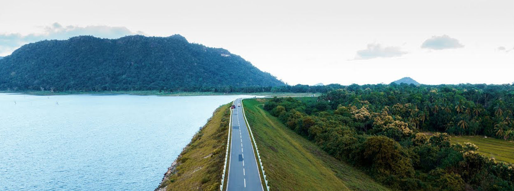
The best time to visit Lahugala Neelagiri Maha Seya is during the dry season, from December to April, when the weather is ideal for outdoor exploration. The stupa is easily accessible from the nearby towns, making it a perfect destination for those interested in Sri Lanka's cultural and spiritual heritage.


