Districts
Sri Lanka is divided into 25 districts, each governed by a District Secretary and further subdivided into Divisional Secretariats and Grama Niladhari Divisions. These districts are organized into nine provinces, reflecting the island’s rich cultural and geographical diversity.
Districts
Sri Lanka is divided into 25 districts, each governed by a District Secretary and further subdivided into Divisional Secretariats and Grama Niladhari Divisions. These districts are organized into nine provinces, reflecting the island’s rich cultural and geographical diversity.
Districts
Sri Lanka is divided into 25 districts, each governed by a District Secretary and further subdivided into Divisional Secretariats and Grama Niladhari Divisions. These districts are organized into nine provinces, reflecting the island’s rich cultural and geographical diversity.
Districts
Sri Lanka is divided into 25 districts, each governed by a District Secretary and further subdivided into Divisional Secretariats and Grama Niladhari Divisions. These districts are organized into nine provinces, reflecting the island’s rich cultural and geographical diversity.
Districts
Sri Lanka is divided into 25 districts, each governed by a District Secretary and further subdivided into Divisional Secretariats and Grama Niladhari Divisions. These districts are organized into nine provinces, reflecting the island’s rich cultural and geographical diversity.
Distretto di Batticaloa
Batticaloa è una città principale nella Provincia Orientale, Sri Lanka, ed era la sua ex capitale. È la capitale amministrativa del distretto di Batticaloa. La città è sede della Eastern University of Sri Lanka ed è una grande città commerciale. Si trova sulla costa orientale, a 111 chilometri (69 miglia) a sud di Trincomalee, ed è situata su un'isola. Pasikudah è una popolare destinazione turistica situata a 35 km a nord-ovest, con spiagge e lagune poco profonde con acqua calda per tutto l'anno.
Batticaloa è una derivazione portoghese. Il nome originale della regione era il tamil "Matakkalappu". Secondo il "Mattakallappu Manmiyam", la parola Mattakkallpu è composta dalle parole tamil "Mattu" (Matta) derivate da "Mattam", che significa 'piatto', e dal nome geografico KaLappu. Mukkuwa ha chiamato questo luogo KaLappu-Mattam o il confine della laguna, che successivamente è diventato Matta-Kallappu o Laguna piatta. Inoltre, Batticaloa ha un soprannome, "Terra dei pesci cantanti", a causa dei suoni musicali associati ai pesci o alle creature acquatiche nella laguna di Batticaloa vicino al ponte di Kallady. La BBC Radio 4 è riuscita a registrare il misterioso suono nella laguna di Batticaloa. Il suono è stato trasmesso dalla Sri Lanka Broadcasting Corporation negli anni '60 con l'aiuto del reverendo Lang, un sacerdote cattolico.
Batticaloa si trova sulla costa orientale di Sri Lanka su una pianura costiera piatta, confinata dall'Oceano Indiano a est e occupa una parte centrale della parte orientale di Sri Lanka. La sua altitudine media è di circa 5 metri. Il distretto di Batticaloa ha tre lagune, come la Laguna di Batticaloa, la Laguna di Valaichchenai e la Laguna di Vakari (Panichchankerni). Tra queste lagune, la Laguna di Batticaloa è la più grande, con una lunghezza di 56 km e una superficie di 162 km², che si estende da Pankudaweli a nord e Kalmunai a sud.
Ci sono diverse isole nella Laguna di Batticaloa, come Puliayantheevu, Buffaloa Island e Bone Island. Sono stati costruiti molti ponti sopra la laguna che collegano le terre emerse e le isole. Puliayantheevu è la zona metropolitana della città. Il ponte più grande di tutti è il Lady Manning Bridge, situato a Kallady, che è la principale via di accesso alla città dalle zone meridionali del distretto. Le spiagge di Batticaloa sono sabbiose e si estendono lungo 4 km di litorale nella città e si estendono ulteriormente nei luoghi circostanti. Esse includono la spiaggia di Kallady, Pasikudah e Kalkudah. Pasikudah è una baia protetta dall'oceano, con un fondale piatto e sabbioso che si estende da 150 a 200 metri dalla riva.
Batticaloa ha un clima tropicale umido e secco secondo la classificazione climatica di Köppen, noto anche genericamente come 'clima secco monsonico'. Il clima di Batticaloa è temperato durante tutto l'anno. Da marzo a maggio, il periodo più caldo dell'anno, la temperatura massima media è di circa 32 gradi Celsius (88 gradi Fahrenheit). Durante la stagione dei monsoni, da novembre a febbraio, si registrano forti piogge, con una temperatura media di 25 °C. La precipitazione annua media a Batticaloa è di 1.650,9 mm (65,00 pollici).
Districts of Sri Lanka
-
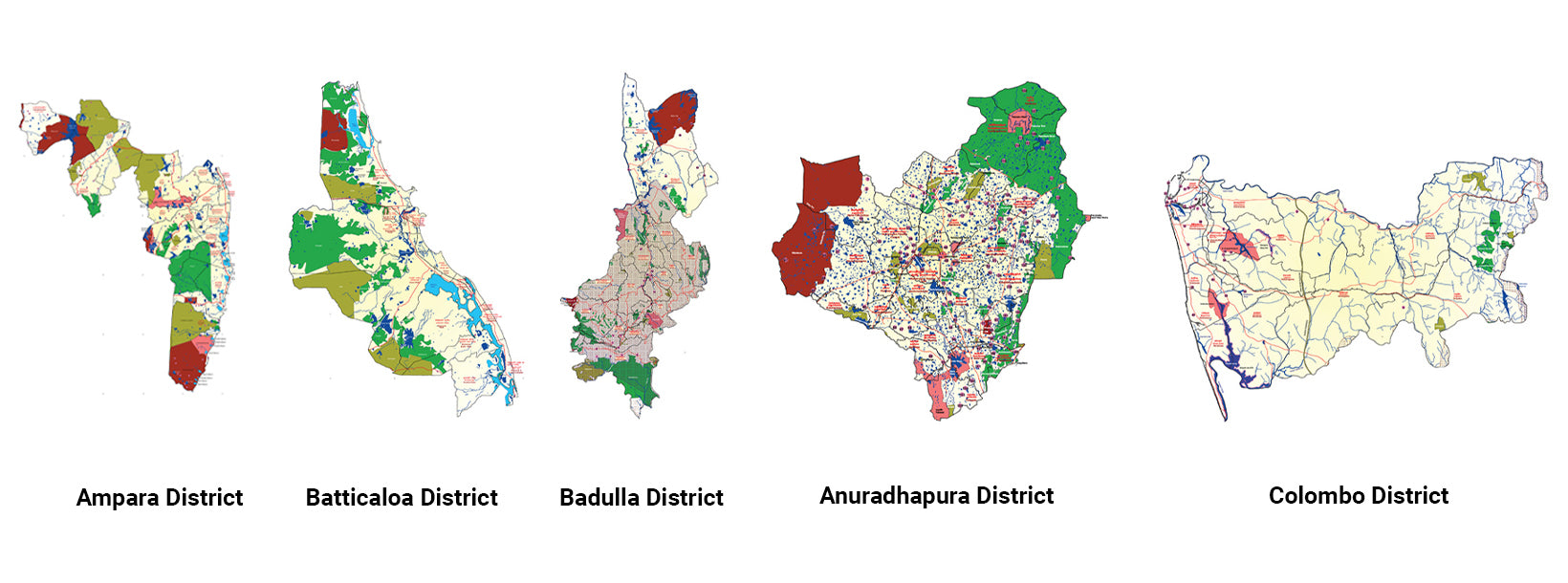
Ampara DistrictA district rich in agriculture, Ampara offers pristine beaches, historical Buddhist sites, and a diverse cultural landscape.
-
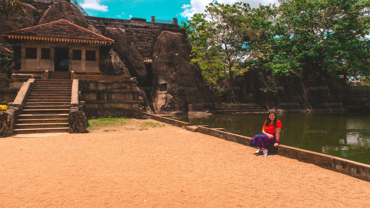
Anuradhapura DistrictOne of the ancient capitals, Anuradhapura is a UNESCO World Heritage Site, rich with historic Buddhist monuments and temples.
-
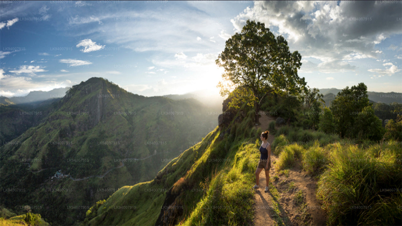
Badulla DistrictBadulla is a scenic district surrounded by mountains, tea plantations, and stunning waterfalls, offering a peaceful retreat.
-
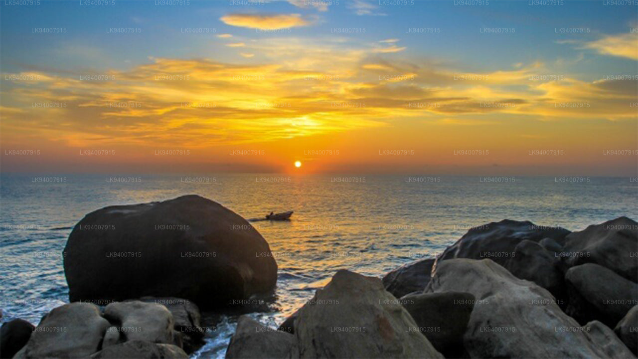
Batticaloa DistrictKnown for its lagoons and beaches, Batticaloa is a serene district with a rich blend of Tamil and Muslim culture.
-
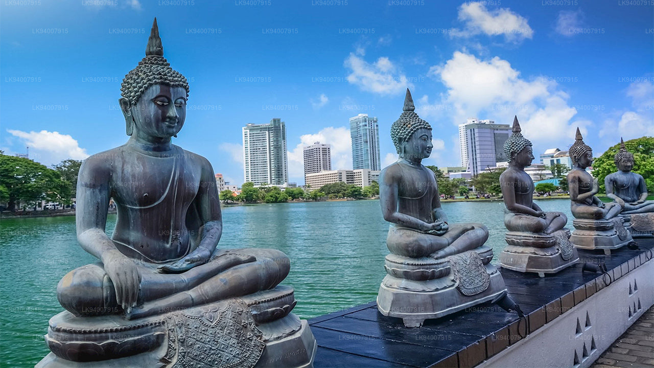
Colombo DistrictSri Lanka’s bustling commercial capital, Colombo is a vibrant metropolis known for its urban landscape, colonial architecture, and coastal beauty.
-
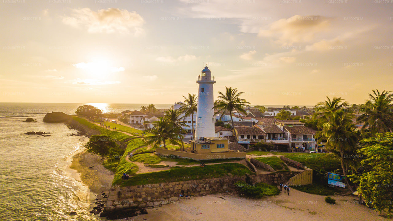
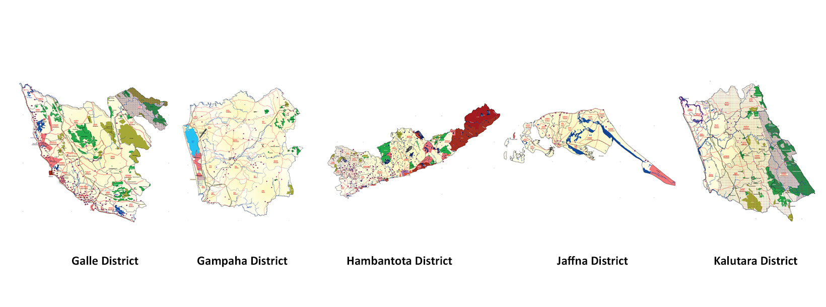
Galle DistrictA historic coastal district, Galle is famous for its UNESCO-listed Dutch Fort, pristine beaches, and rich colonial history.
-
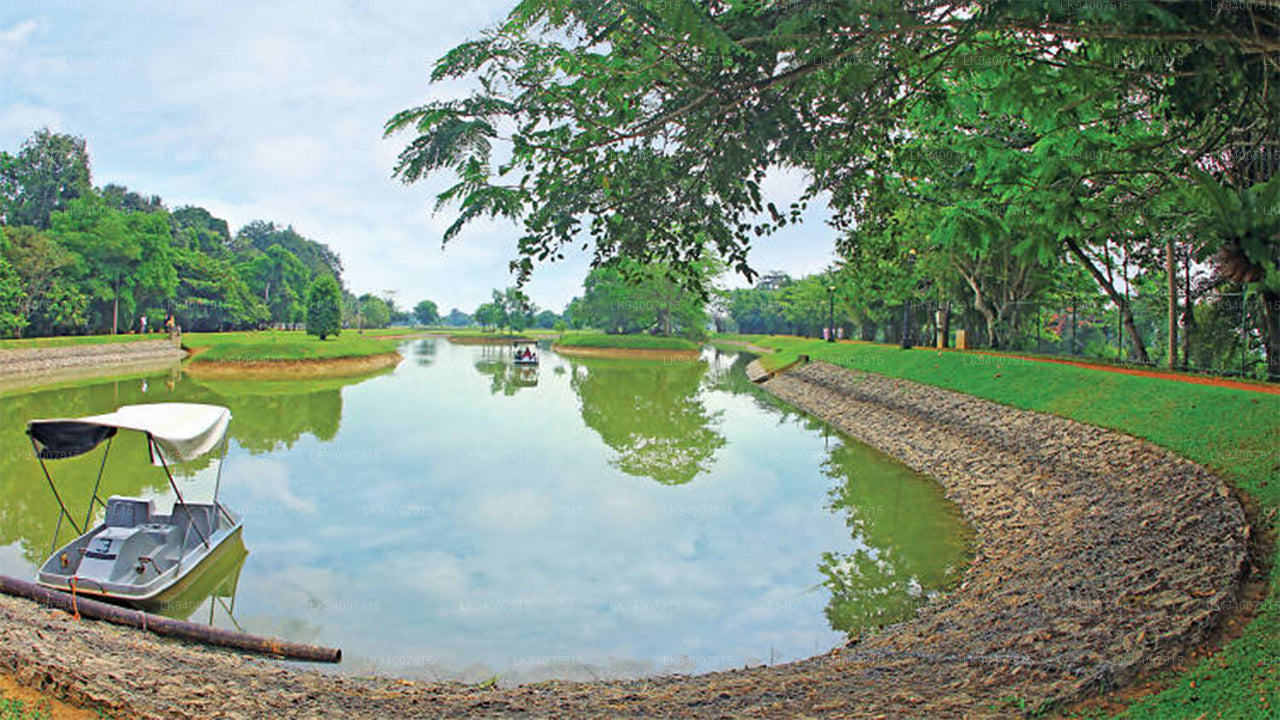
Gampaha DistrictA district blending urban and rural life, Gampaha is home to the Katunayake Airport and scenic beaches.
-
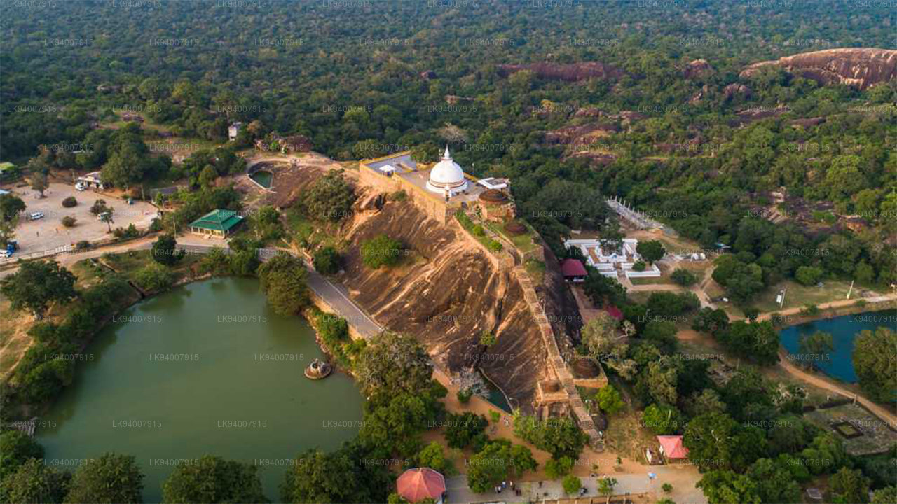
Hambantota DistrictKnown for its wildlife parks, including Yala and Bundala, Hambantota is a growing hub of development and eco-tourism.
-
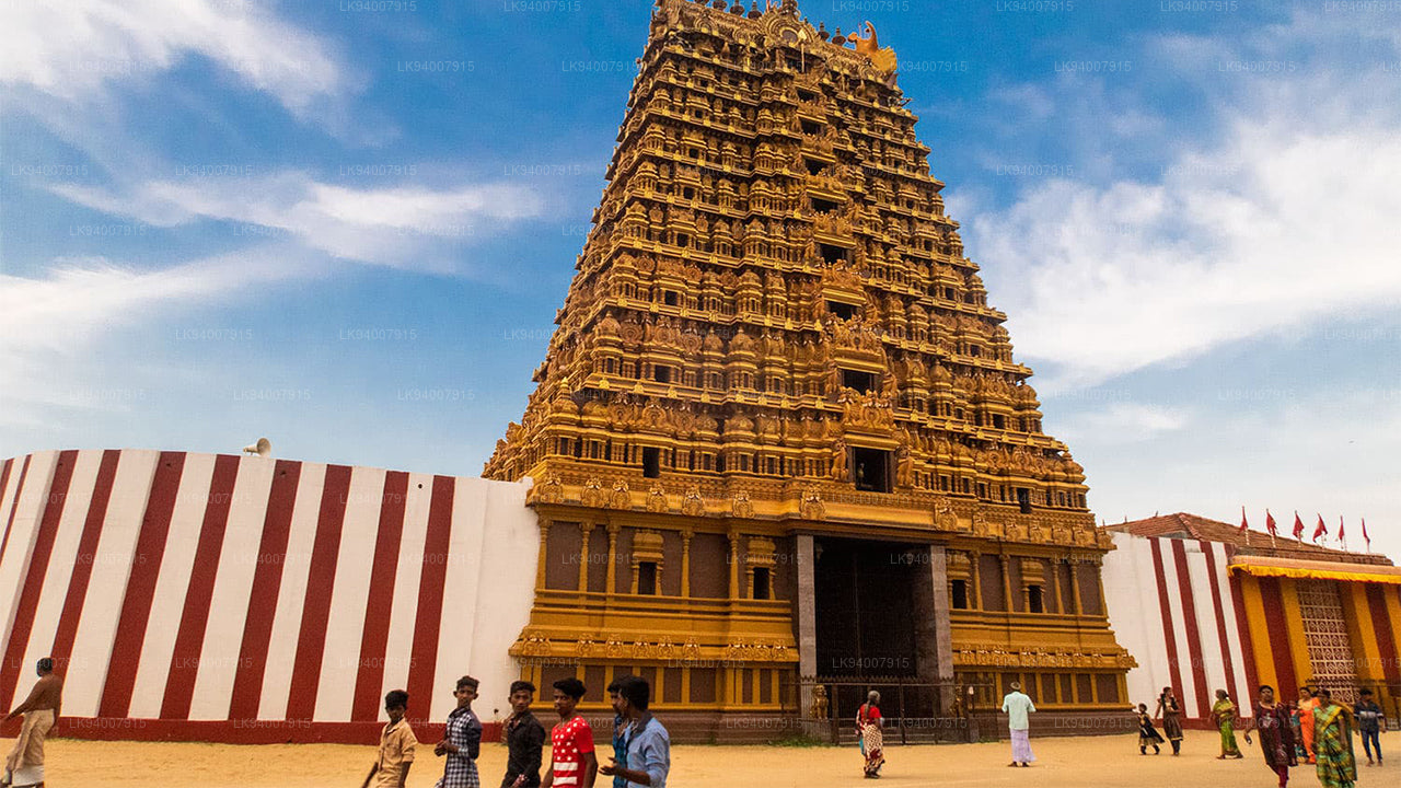
Jaffna DistrictThe cultural center of Tamil heritage, Jaffna is known for its historic temples, vibrant culture, and rich history.
-
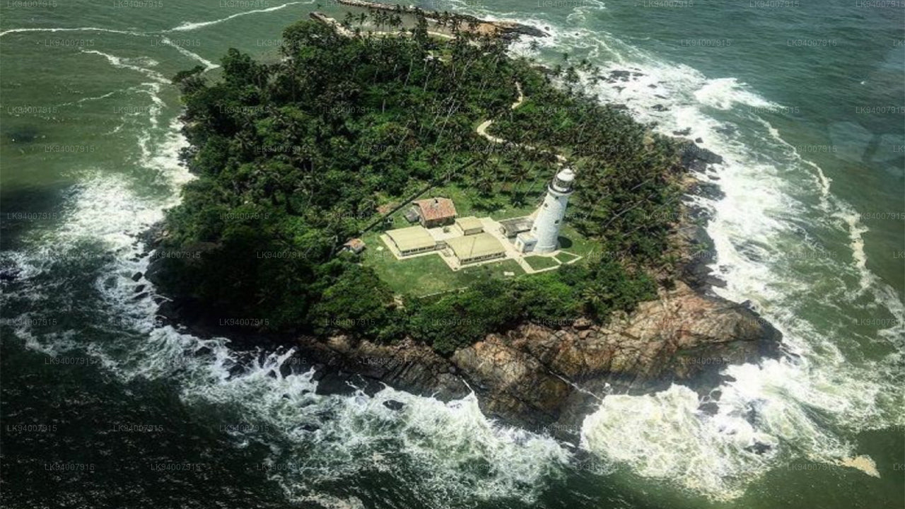
Kalutara DistrictKnown for its historic Kalutara Bodhiya and beautiful beaches, Kalutara offers coastal charm and religious significance.
-
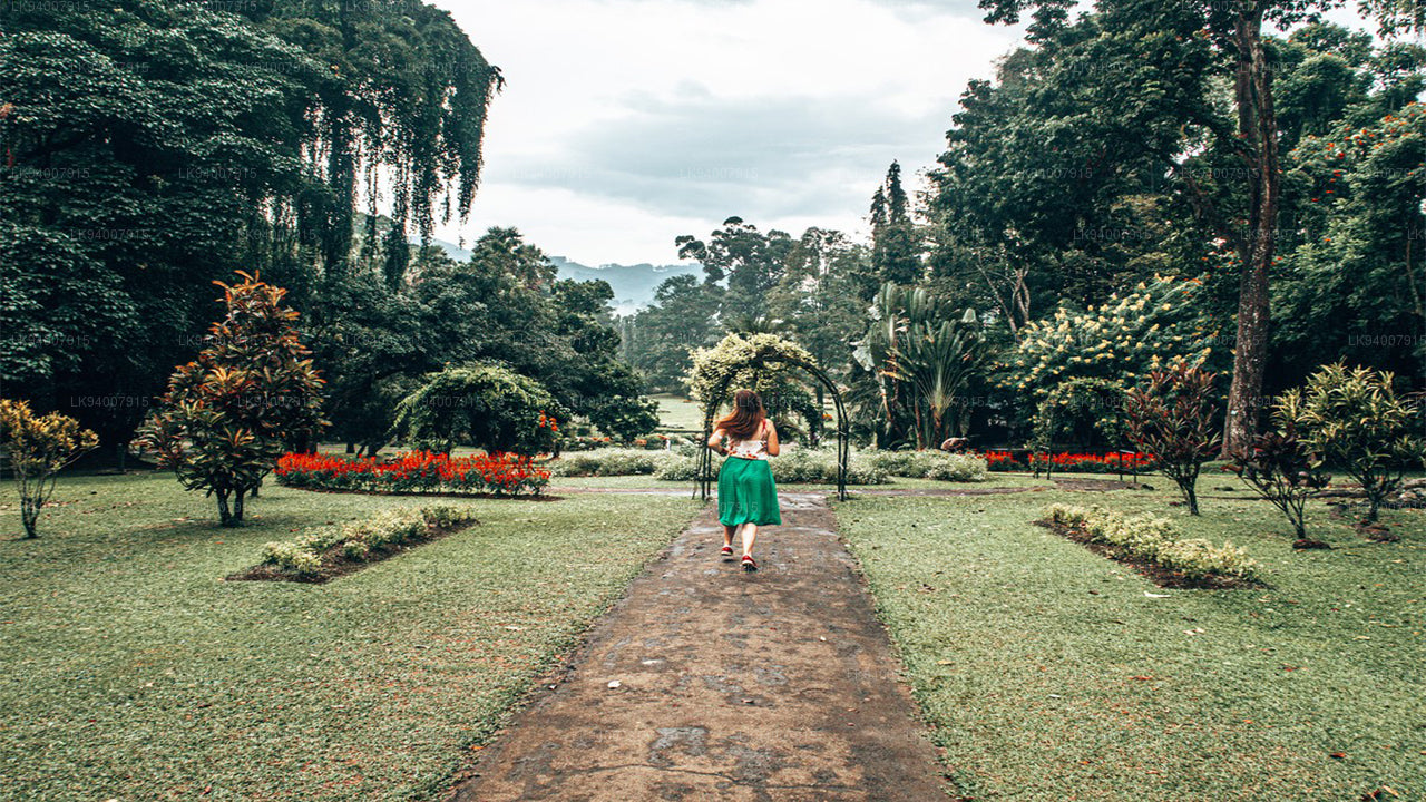
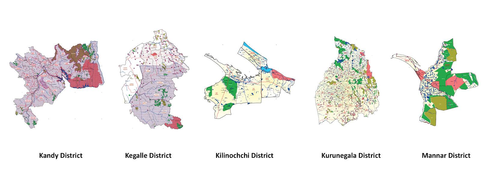
Kandy DistrictFamous for the Temple of the Tooth and its stunning lake, Kandy is the cultural heart of Sri Lanka and a UNESCO World Heritage Site.
-
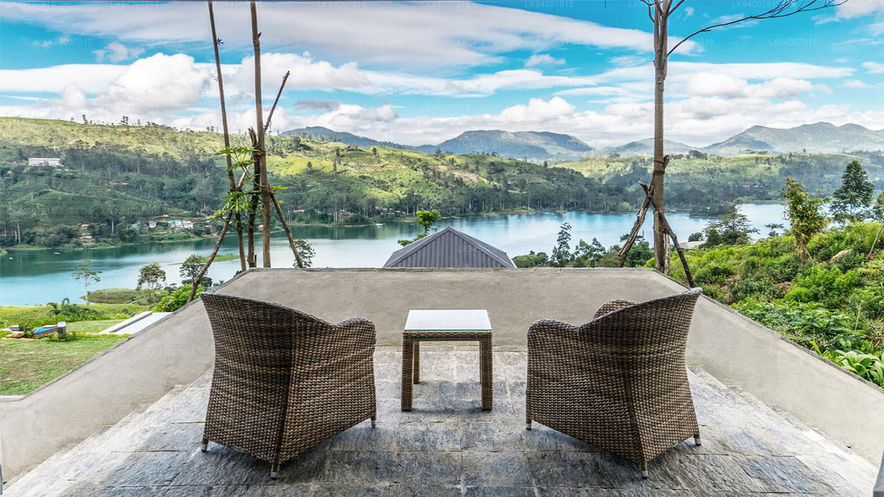
Kegalle DistrictKegalle is known for its rubber plantations and the Pinnawala Elephant Orphanage, a popular tourist attraction.
-
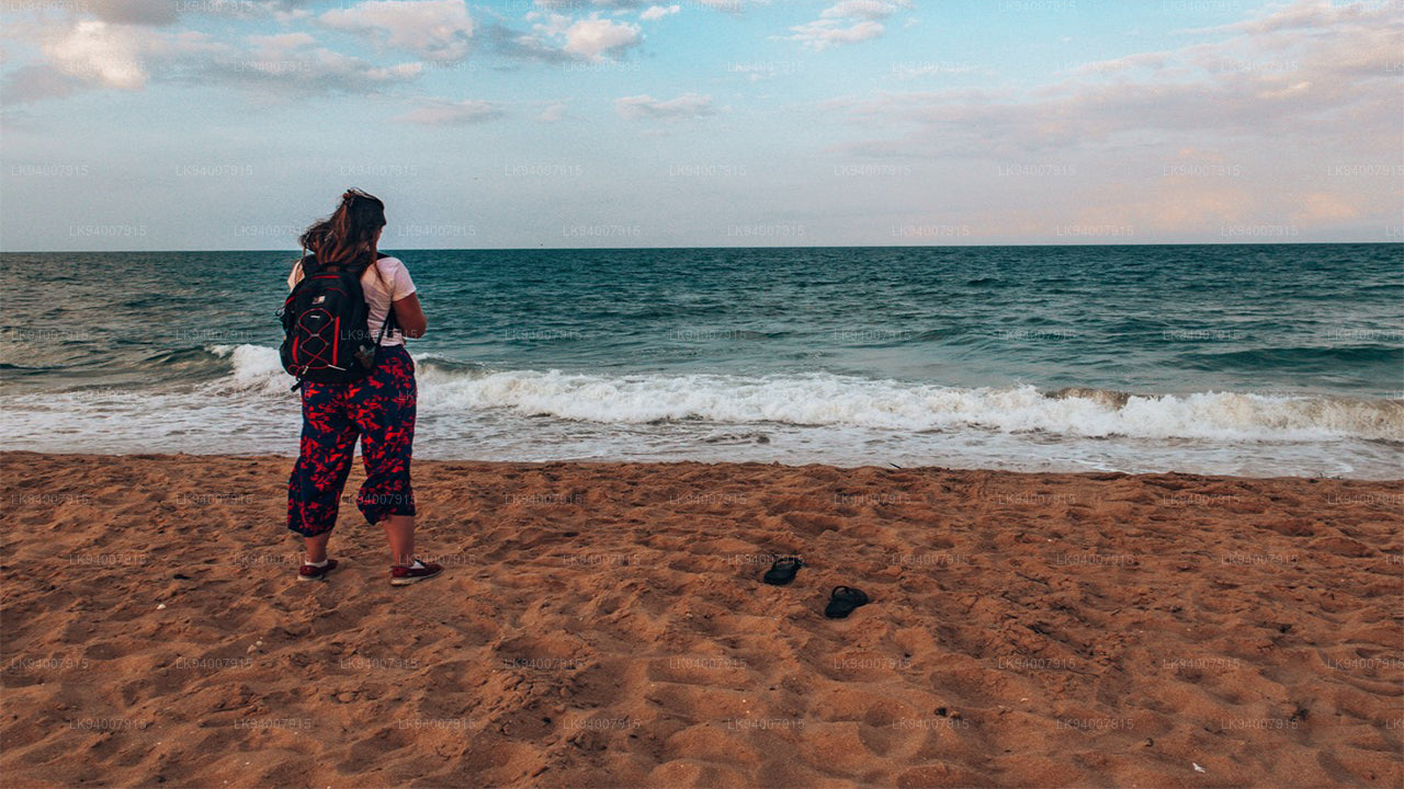
Kilinochchi DistrictA primarily agricultural district, Kilinochchi has seen rapid post-war development and is home to numerous water resources.
-
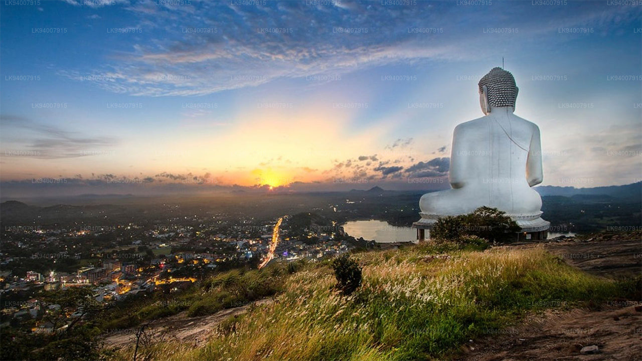
Kurunegala DistrictFamous for its elephant rock, Kurunegala is an agricultural hub surrounded by historic ruins and religious sites.
-
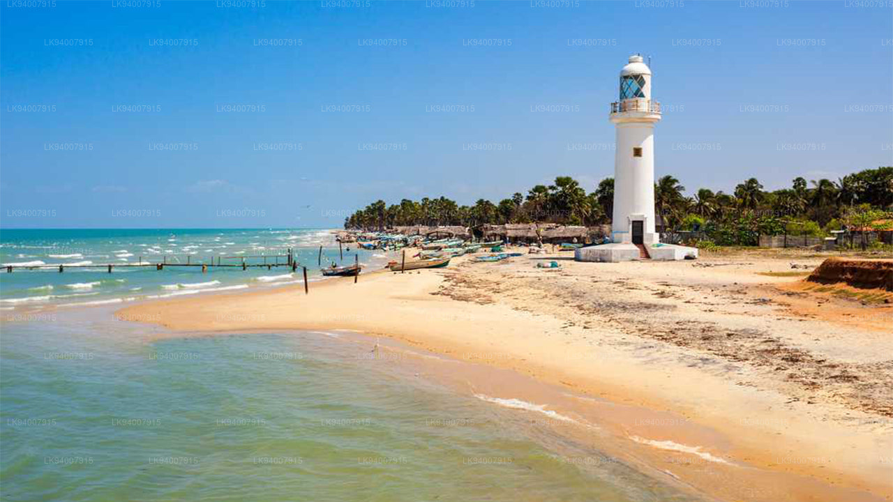
Mannar DistrictFamous for its unique landscapes, pearl fisheries, and the historic Mannar Fort, this district has a rich maritime history.
-
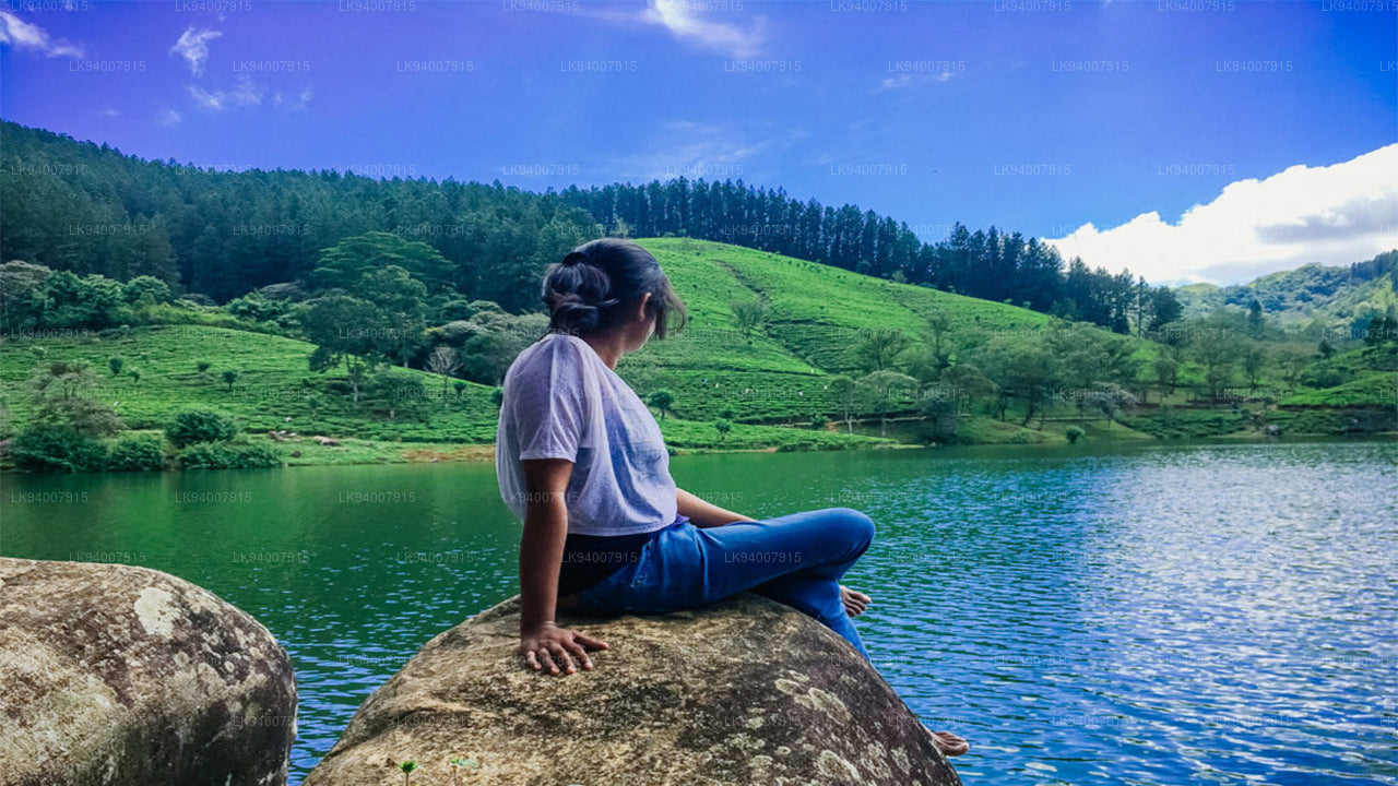
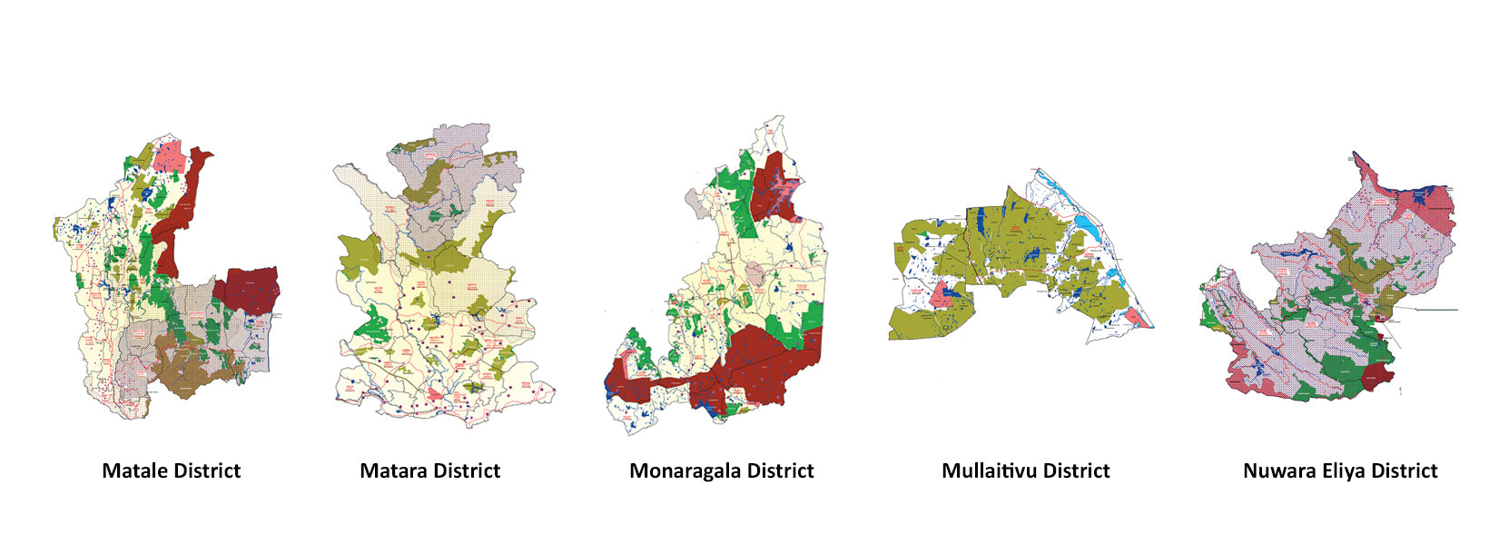
Matale DistrictA district filled with spice plantations, waterfalls, and historic temples, Matale offers scenic natural beauty.
-
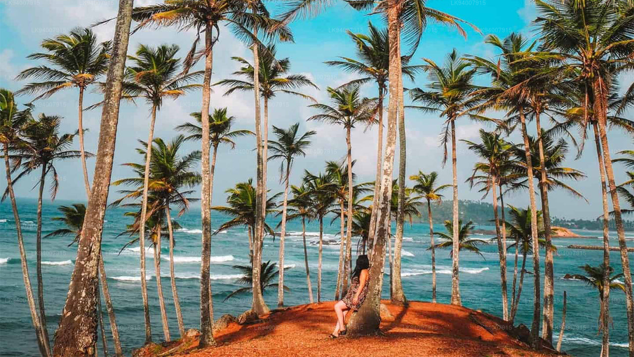
Matara DistrictMatara boasts stunning beaches, the Dondra Head lighthouse, and a mix of coastal and cultural attractions.
-
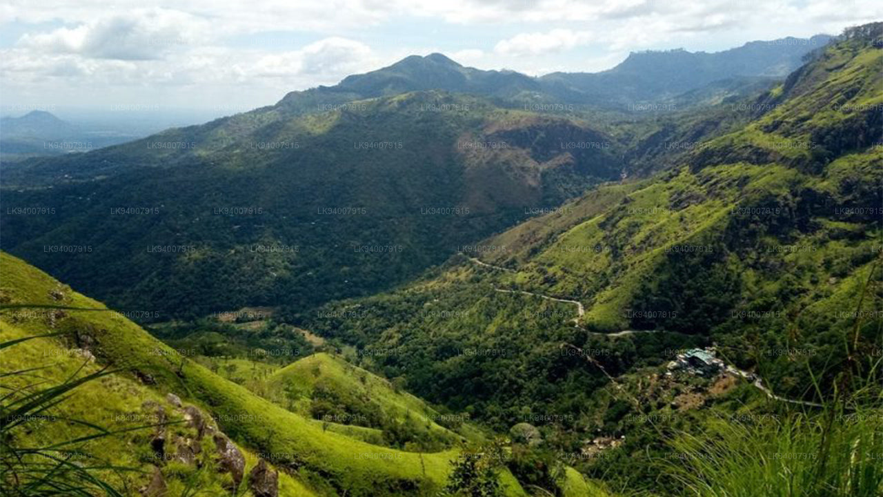
Monaragala DistrictKnown for its rugged landscapes and rich biodiversity, Monaragala is an agricultural district with vast natural beauty.
-
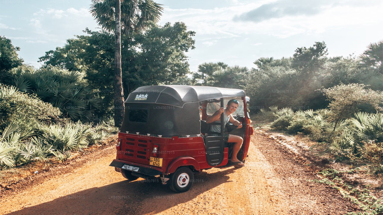
Mullaitivu DistrictA largely rural and coastal district, Mullaitivu is known for its beaches and significant history during the civil conflict.
-
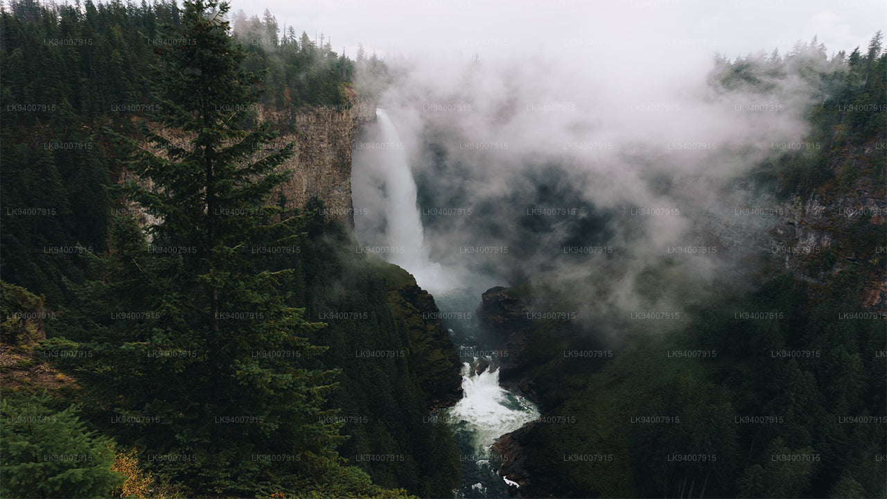
Nuwara Eliya DistrictOften called "Little England," Nuwara Eliya is renowned for its cool climate, tea plantations, and colonial architecture.
-
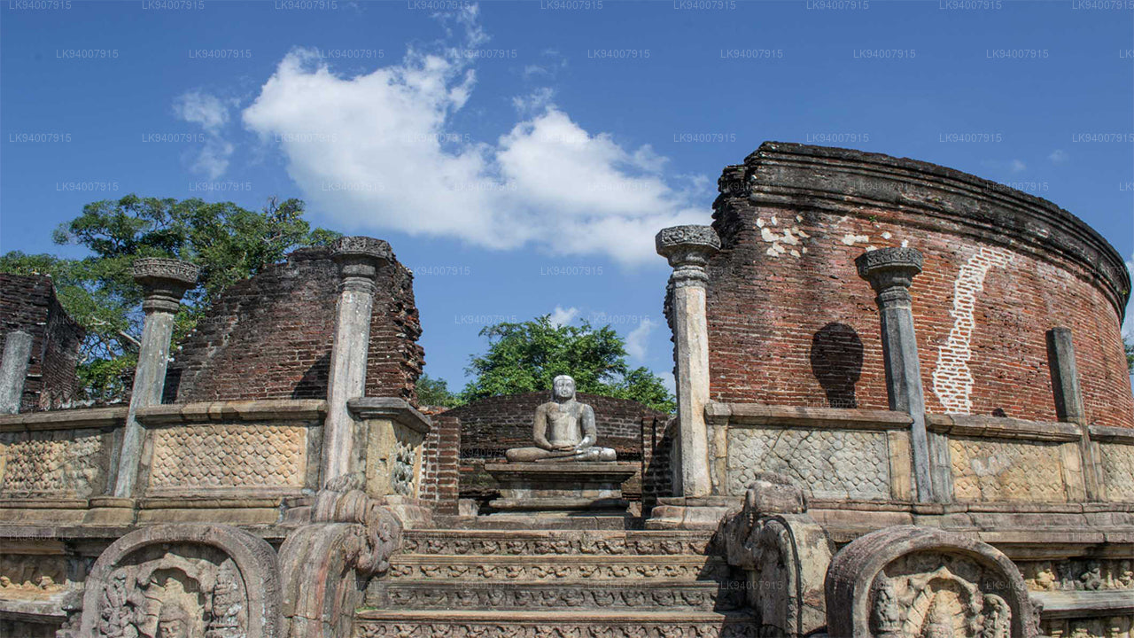
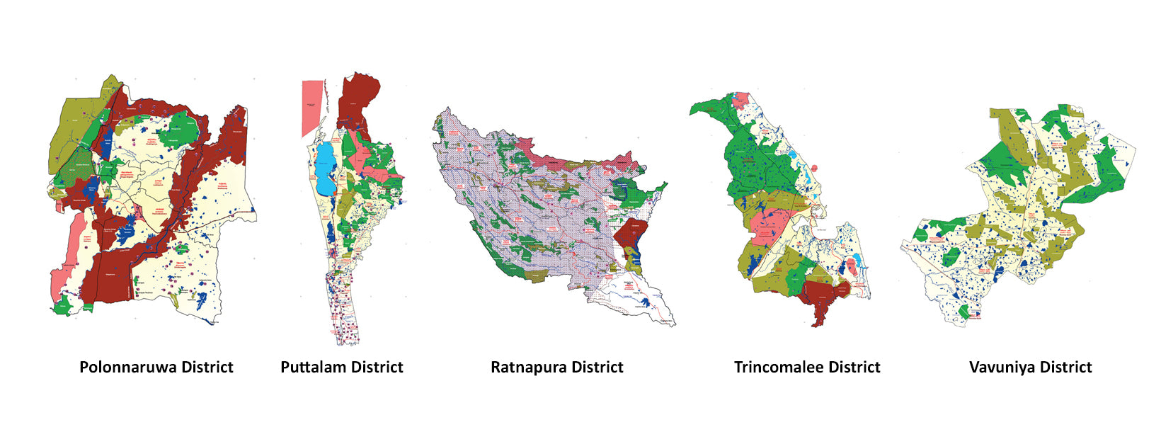
Polonnaruwa DistrictPolonnaruwa is a treasure trove of ancient ruins, including the famous Gal Vihara, and a key archaeological site.
-
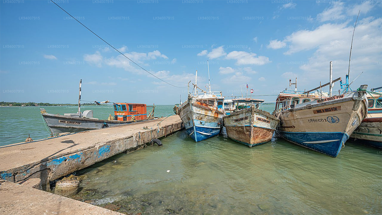
Puttalam DistrictPuttalam is known for its coastal lagoons, wildlife sanctuaries, and salt production, along with a growing wind energy sector.
-
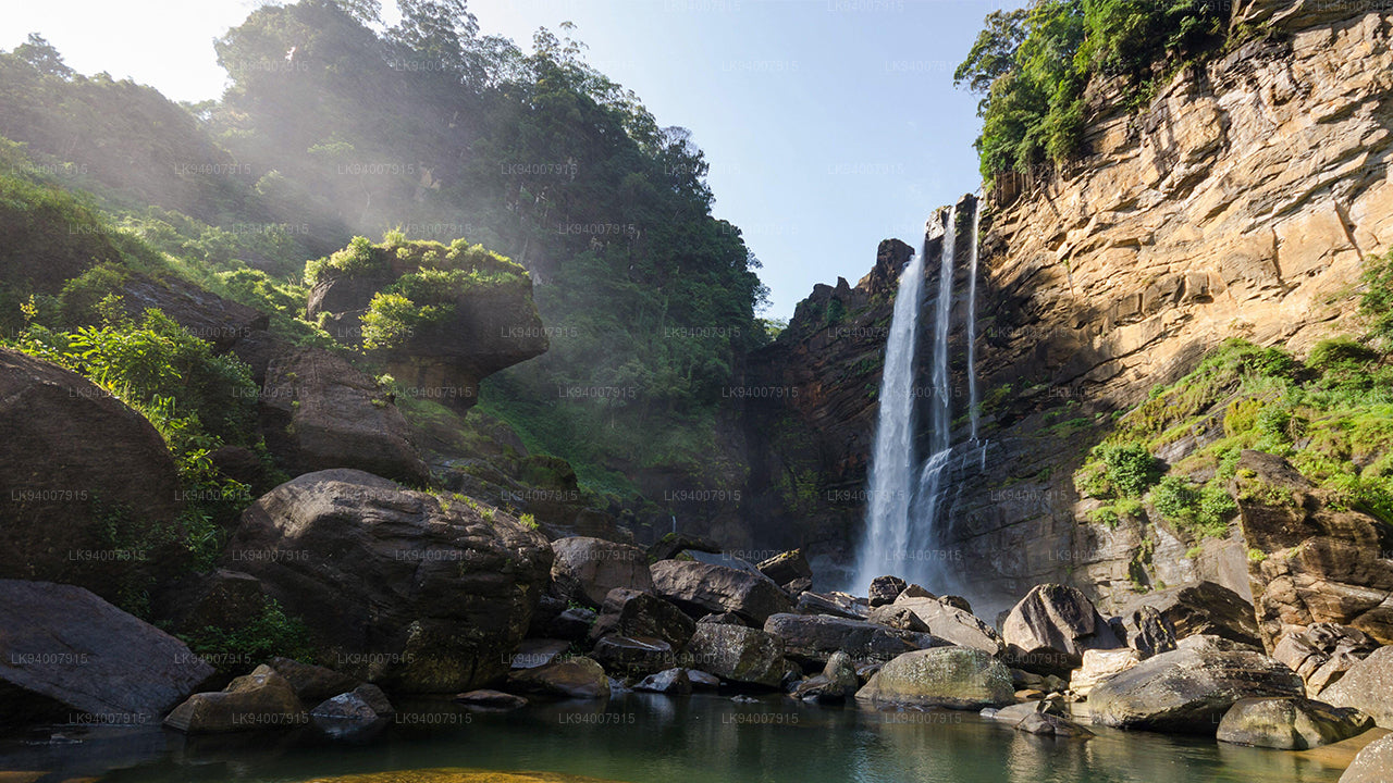
Ratnapura DistrictThe "City of Gems," Ratnapura is famous for its gem mining and lush green landscapes filled with waterfalls and tea estates.
-
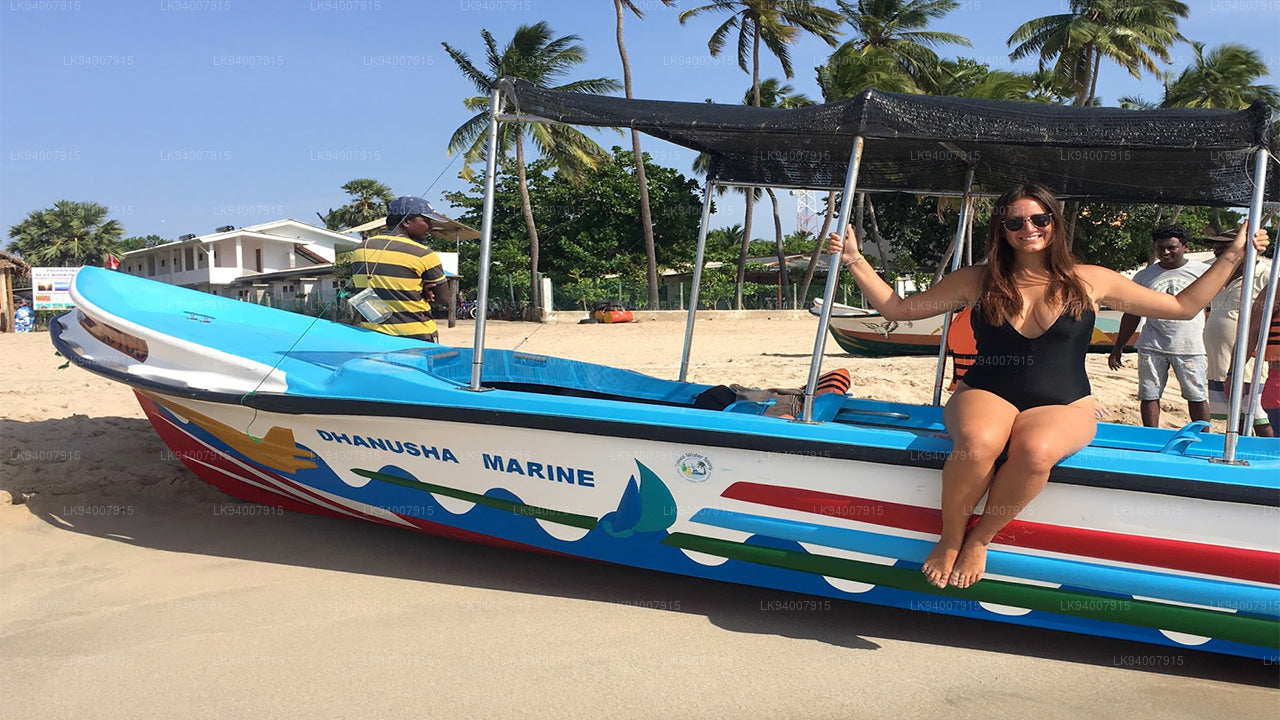
Trincomalee DistrictA coastal gem, Trincomalee is home to beautiful beaches, historic Hindu temples, and one of the world’s finest natural harbors.
-
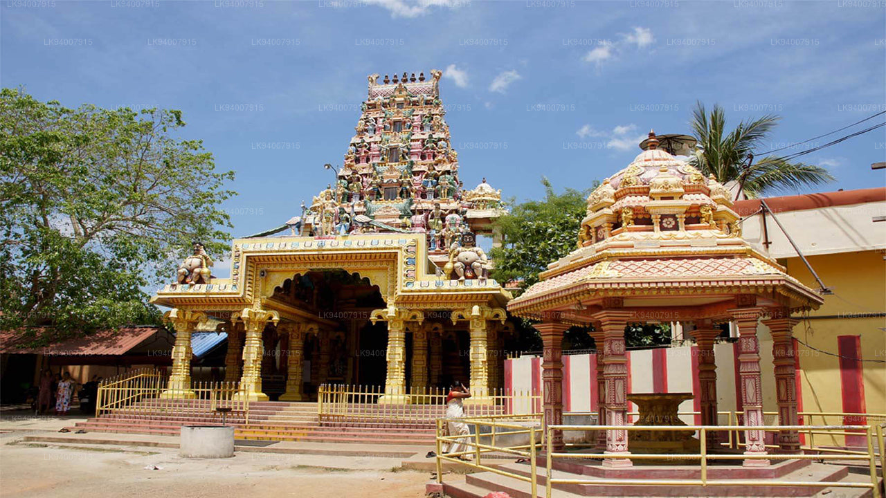
Vavuniya DistrictA key transit hub between the north and south, Vavuniya is known for its agriculture and growing urbanization.