Lakpura
Lakpura®

Kandy District

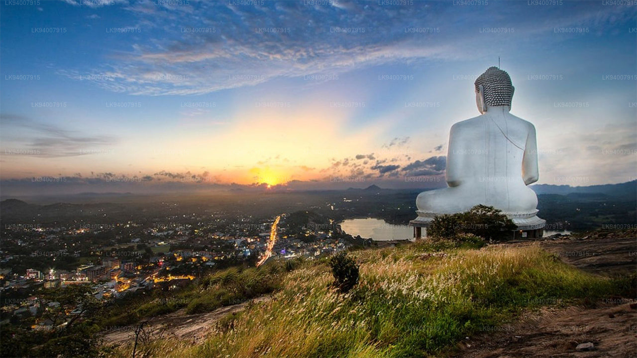
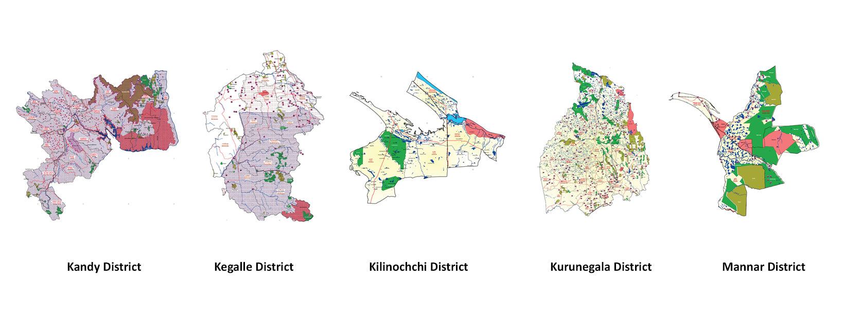
Kandy District sits at the heart of Sri Lanka's Central Province, covering roughly 1,906 sq km of mountain terrain, tea estates, and river valleys. The city of Kandy — its capital and the island's second-largest urban centre — served as the final seat of the Sinhala kings and remains one of Asia's most significant cultural destinations. For travellers moving between the coast and the highlands, Kandy is an almost unavoidable crossroads, and deliberately so: few places in Sri Lanka pack as much history, scenery, and ceremony into a single location.

What makes Kandy historically significant?

Kandy's cultural weight stems directly from the Temple of the Tooth Relic — Sri Dalada Maligawa — which houses a sacred relic of the Buddha and draws pilgrims from across the Buddhist world year-round. UNESCO designated the Kandy city and its sacred ensemble a World Heritage Site in 1988, recognising both the temple complex and the surrounding urban fabric that has evolved around it for centuries.

The city was the last stronghold of indigenous royal rule before British annexation in 1815. That political history is legible in its architecture, its street layout, and in institutions like the Kandyan Arts Residency, which actively preserve classical dance, drumming, and craft traditions. Near the lake, the Meera Makam Mosque Kandy is a reminder of the multicultural layering that makes the district more complex than a single-faith narrative suggests.

Where exactly is Kandy, and how do I get there?

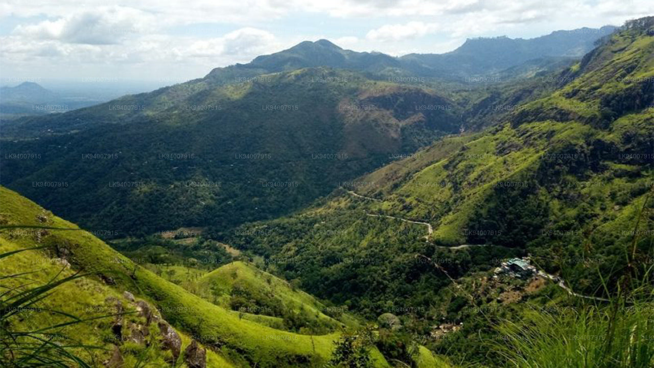
The city sits roughly in the centre of Sri Lanka at an elevation of around 500 m (1,600 ft), flanked by the Knuckles mountain range to the northeast and the Hanthana range to the south. That position shapes everything — its temperature, its rainfall, and its role as a transport gateway.

  • By train: The Colombo–Badulla line passes through Kandy. The stretch from Colombo Fort to Kandy takes roughly 2.5–3 hours and is considered one of the more scenic rail journeys in South Asia.
  • By road: The A1 Colombo–Kandy highway passes through rubber plantations and rice paddies in the lower country before climbing into the hills. The A26 Kandy–Nuwara Eliya road winds through tea country and paddy terraces. Both routes are scenic but can be slow owing to traffic and curves.
  • By helicopter: For travellers coming from the tea country around Hatton, a helicopter transfer offers a fast and dramatic approach across the highlands.

What is the climate like in Kandy District?

Kandy's climate is classified as tropical rainforest, but its elevation keeps it noticeably cooler and wetter than the lowland coast. Mean temperatures stay above 18 °C year-round, and humidity typically ranges between 70 % and 79 %.

PeriodConditions
January – AprilRelatively drier; most reliable window for clear skies
March – mid-MayInter-monsoonal; light rain, high humidity
May – JulySouth-west monsoon; heavier, more frequent rain
October – DecemberNorth-east monsoon; unsettled weather

Because the district straddles two mountain ranges, microclimates vary considerably. The Knuckles Range to the northeast can receive rain from both monsoons simultaneously, while sheltered valleys remain dry. Travellers should carry a light layer regardless of the season — evenings at 500 m drop quickly after sunset.

What are the main attractions in Kandy District?

The district rewards more than a single-day visit. Beyond the Temple of the Tooth, a number of sites and landscapes deserve dedicated time.

  • Kandy Lake: An artificial reservoir built in 1807 by the last Kandyan king. The lakeside promenade is the city's social hub and a pleasant walking circuit at any time of day.
  • Udawatta Kele Sanctuary: A forested reserve immediately north of the lake. It shelters endemic birds, purple-faced langurs, and a modest trail network — a green escape within walking distance of the city centre.
  • Knuckles Mountain Range: A UNESCO-listed biodiversity hotspot northeast of the city. Hikers find cloud forest, grassland, and river gorges across a compact trail network. The Makandawa Rainforest on the western fringe of the range is one of the most accessible entry points.
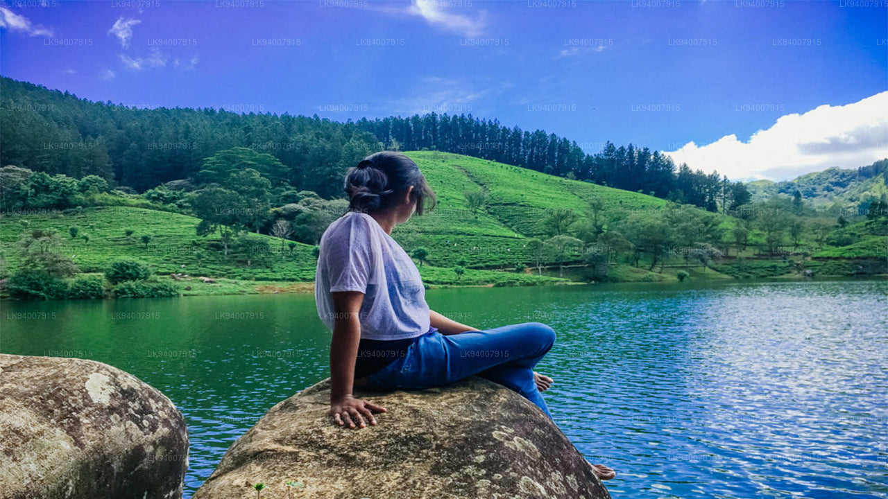
  • Tea estates: The hills ringing Kandy are planted with Ceylon tea, and several working estates welcome visitors. Bluefield Tea Gardens, a short drive from the city, combines a factory tour with panoramic views across the terraced hillsides.
  • Randenigala Dam: One of Sri Lanka's largest hydroelectric reservoirs, located east of Kandy along the Mahaweli River. The reservoir and surrounding forests attract birders and offer a quiet contrast to the busier city sites.
  • Pinnawala Elephant Orphanage: Located about 40 km west of Kandy, this government-run facility cares for orphaned and injured elephants. It is one of the most visited wildlife attractions in the district.

What is the Esala Perahera, and when does it take place?

The Esala Perahera Festival is Kandy's defining annual event — a grand procession held over ten nights in July or August (the exact dates follow the lunar calendar). Dancers, drummers, Kandyan whip-crackers, and elaborately caparisoned elephants move through the city streets escorting a replica casket that represents the sacred Tooth Relic. It is among the oldest living Buddhist ceremonies in the world.

Viewing positions along the procession route fill early on the main nights. Tickets for seated stands are sold through official channels; standing spots along the street are free but crowded. Accommodation in and around Kandy books out weeks in advance during the festival period, so early planning is essential.

What outdoor activities are available near Kandy?

The terrain around Kandy is well-suited to active travel. The Knuckles Range offers multi-day trekking routes, and the mountain-biking circuit on the east side of the range follows forest roads with sustained elevation changes. The Mahaweli River — Sri Lanka's longest — drains through the district and provides white-water rafting near Kitulgala, roughly an hour's drive to the west. The Kitulgala Forest Adventure is a popular day trip from the city combining rafting with jungle trekking.

Closer to the city, a village life tour from Kandy takes visitors through paddy fields, spice gardens, and rural homesteads — a low-key way to understand the agricultural landscape that surrounds the urban core. For a bird's-eye perspective, a helicopter flight from nearby Hatton offers sweeping views across the Central Highlands.

What food and produce is Kandy District known for?

The Central Province is Sri Lanka's tea heartland, and the mid-elevation gardens around Kandy produce a style of Ceylon green tea and orthodox black tea prized for their balanced, slightly muscatel character. The district also produces cinnamon, cardamom, pepper, and cloves — spice gardens near the city sell fresh and dried produce directly to visitors.

Kandyan cuisine leans on rice, coconut milk, and freshwater fish from the Mahaweli. Street food around the city centre includes traditional sweets and short-eats that have been part of the local food culture for generations. The city's market area near the bus stand is a practical introduction to everyday Kandyan eating.

How should I structure a visit to Kandy District?

Two to three nights is a workable base for exploring the city itself, the Knuckles foothills, and one or two outlying attractions. A single day is enough for the Temple of the Tooth, Kandy Lake, and Udawatta Kele, but feels rushed if you want to go beyond the headline sites. Travellers continuing to Horton Plains National Park or Ella can use Kandy as a staging point before heading deeper into the highlands on the train — the Kandy–Ella rail route through Nuwara Eliya is widely regarded as one of the finest train journeys in Asia.

The Kandy Tourist Information Center near the lake is a useful first stop for maps, current temple schedules, and local transport advice.

Book this experience with Lakpura

Curated by our local team. Direct booking, instant confirmation.

Ask Lakpura® Agent