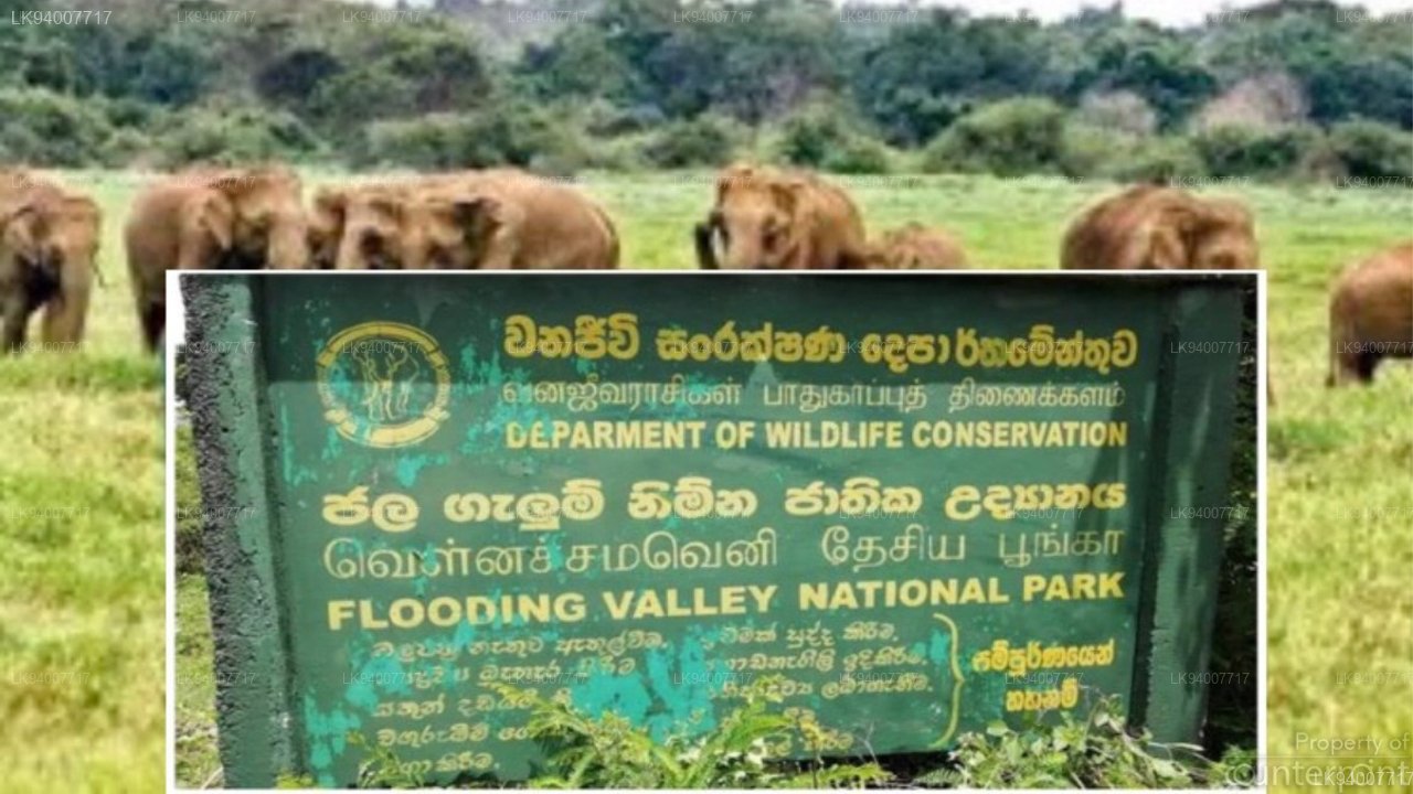
Flood Plains National Park
The park is central to the integrity of the Mahaweli system of protected areas, both for its unique “villus” and as a corridor for wildlife migration between grazing lands in Wasgamuwa and Somawathiya National Park. The area spans the Mahaweli Ganga in Polonnaruwa district in North Central Province. The township of Manampitiya lies just outside the eastern boundary of the park, a stopover in the Batticaloa-Polonnaruwa road and on the railway which pass through the park.
The simplest approach from Colombo would be via Kurunegala, Dambulla, Habarana and Polonnaruwa, the range office is in Polonnaruwa town and park is 233km away from Colombo.
The Mahaweli Ganga flows the south to north through the centre of the park. The flood plains of rich alluvial soil flanking the river are characterized by numerous shallow marshy depressions known as “villus”. The prolonged periods of inundation of these low-lying areas, together with the nutrients carried in by the water are largely responsible for the exceptionally high level of net primary productivity. The area ranges from 20m to 60m with an occasional rock outcrop. Covering 17,350 ha and lying in the Mahaweli protected area complex, the flood plains National Park links Wasgamuwa National Park to the south with Somawathiya National Park to the North. Being in the dry zone season, there is only northeast monsoon from October to late January. This is followed by a dry season lasting from Nay to September.
Saturated soils and flooding prevent tree growth and enhance the growth of water tolerant grasses and aquatic plants. The vegetation of the ‘villus’ shows definite pattern of zone, with creeping grasses.
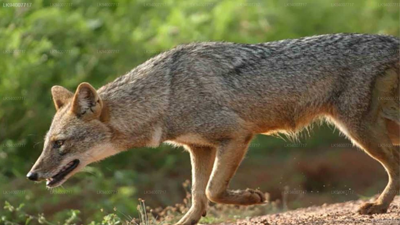
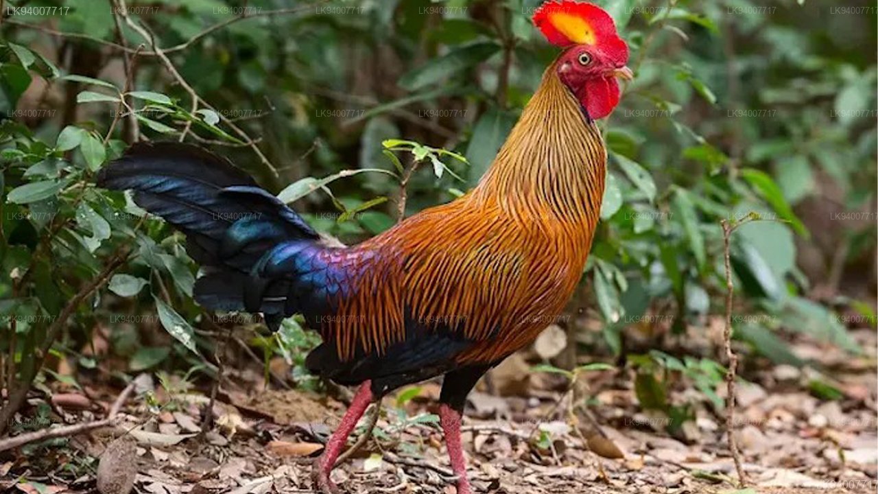
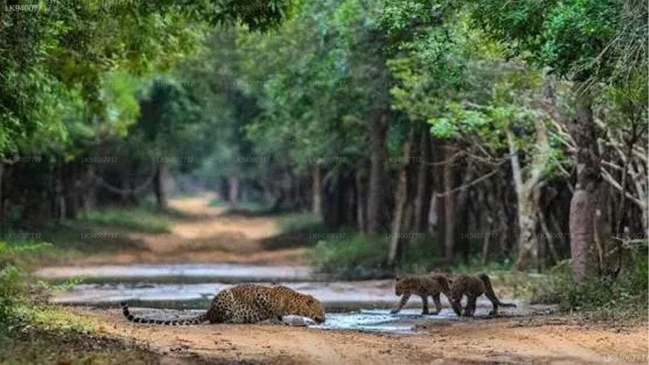
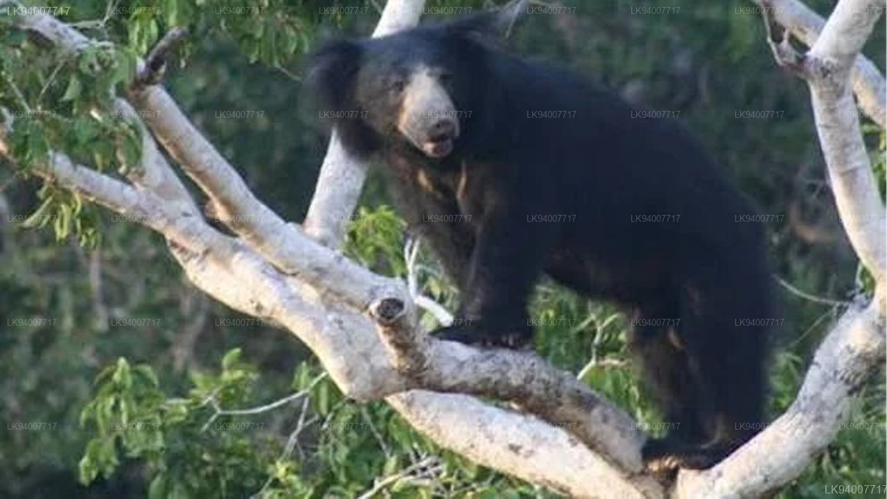
The rich vegetation in the villu attracts large number of grazing animals and birds and supports a higher annual biomass than any other type of habitat within the Mahaweli development project area. The Food Plain, with their abundant supply of water and grasslands, mammals are commonly found in the Food Plains and the marshes support large populations of reptiles are present in here. The Food Plains are particularly important for the diversity and abundance of their avi fauna, particularly migrant birds it is estimated that around 75 migrant species spend their winter time in the marshes of the Food Plain.