
Dehiattakandiya


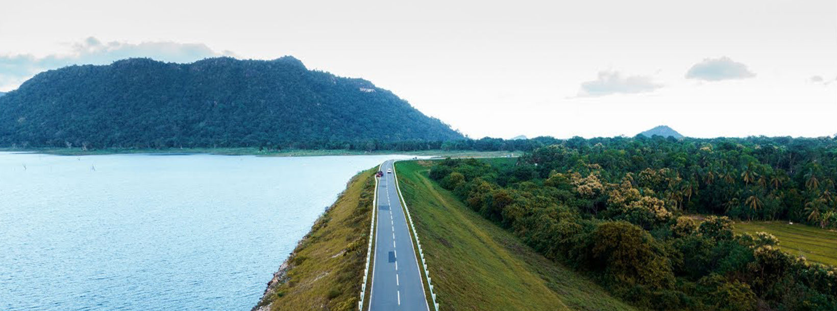
Dehiattakandiya is a town located in the Ampara District of Sri Lanka’s Eastern Province. Positioned near the border of the Central and Eastern provinces, it serves as a gateway between the dry zone agricultural heartland and the surrounding wildlife-rich regions. The area is known for its rural charm, traditional livelihoods, and ecological importance.
The region features a mix of forests, reservoirs, and farmland, supporting a variety of flora and fauna. The surrounding landscapes are ideal for birdwatching and nature exploration, particularly around the Girithale and Maduru Oya reserves. Dehiattakandiya is also significant for its role in irrigation development, with several tanks and canals sustaining local agriculture.
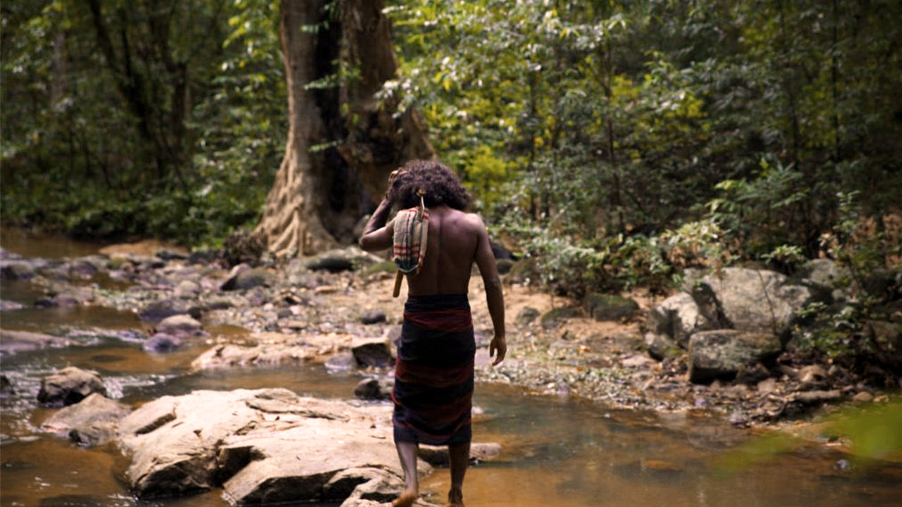
Visitors to Dehiattakandiya can explore nearby attractions such as the Maduru Oya National Park, which offers opportunities to observe elephants and other wildlife in their natural habitat. The town itself provides a glimpse into rural life in Sri Lanka, with local markets, temples, and traditional farming communities enriching the cultural experience.
Dehiattakandiya can be visited year-round, although the dry season from May to September is ideal for outdoor activities and wildlife spotting. Accessible via road from Mahiyanganaya and Polonnaruwa, it offers a quiet and authentic setting for eco-tourism and cultural discovery in Sri Lanka’s eastern interior.


