مدينة كاندي
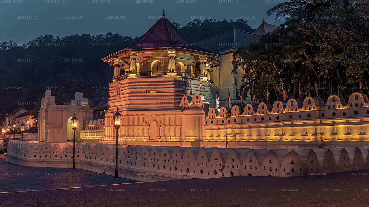
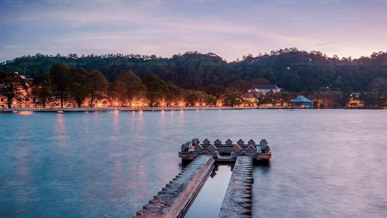
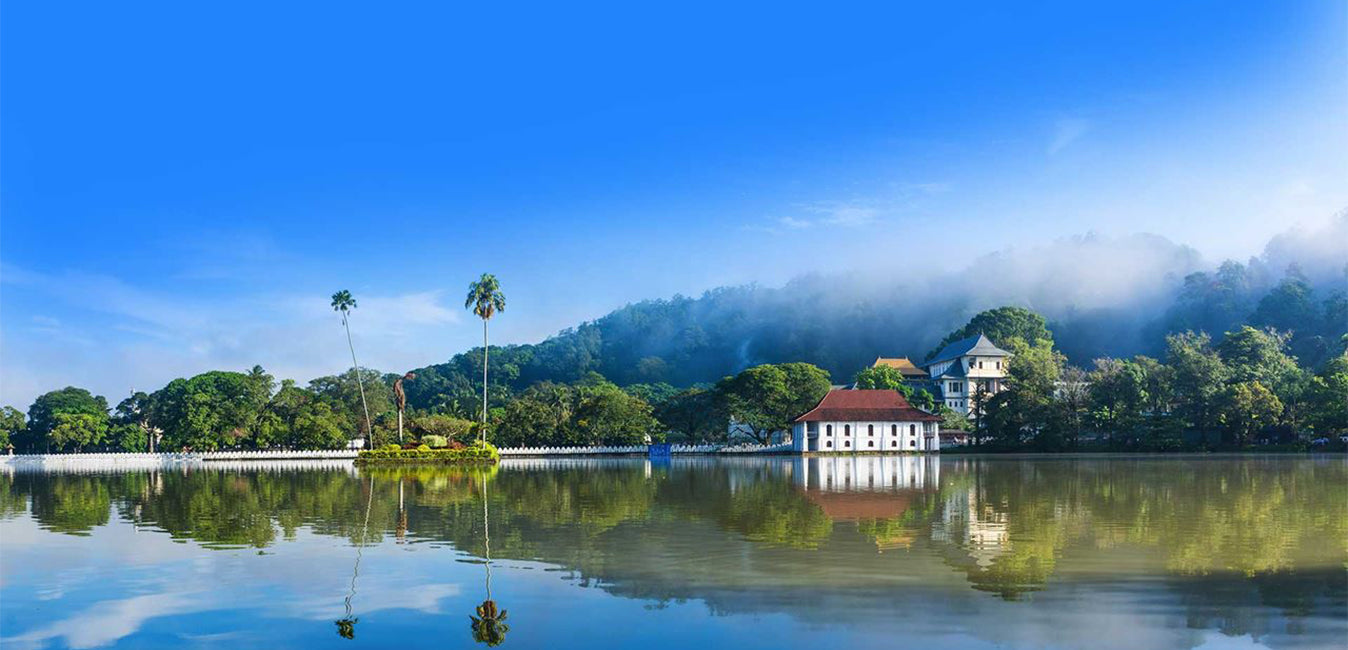
كاندي، مدينة خلابة في وسط سريلانكا، تشتهر بتراثها الثقافي الغني ومهرجاناتها النابضة بالحياة وجمالها الطبيعي الأخّاذ. تقع وسط تلال خضراء، وتضم معبد السنّ، وهو موقع تراث عالمي لليونسكو، وتوفر مزيجًا آسرًا من التاريخ وروعة الطبيعة.
Balana
About Balana
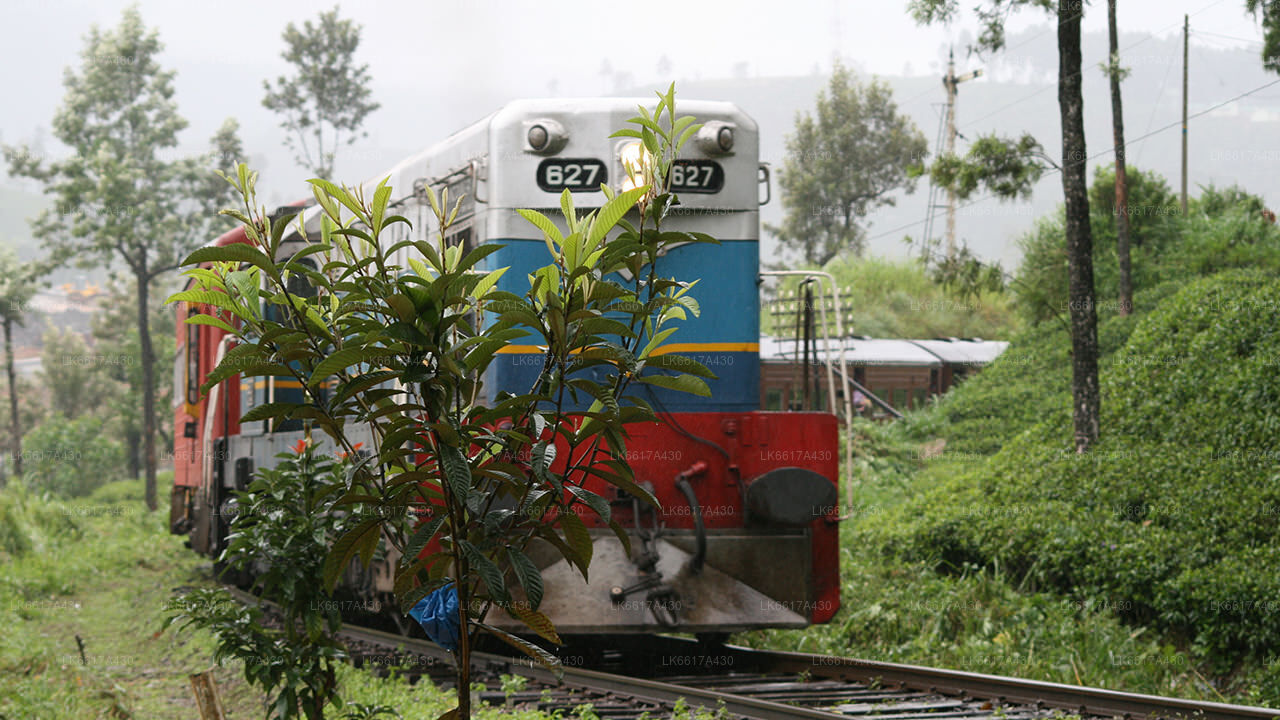
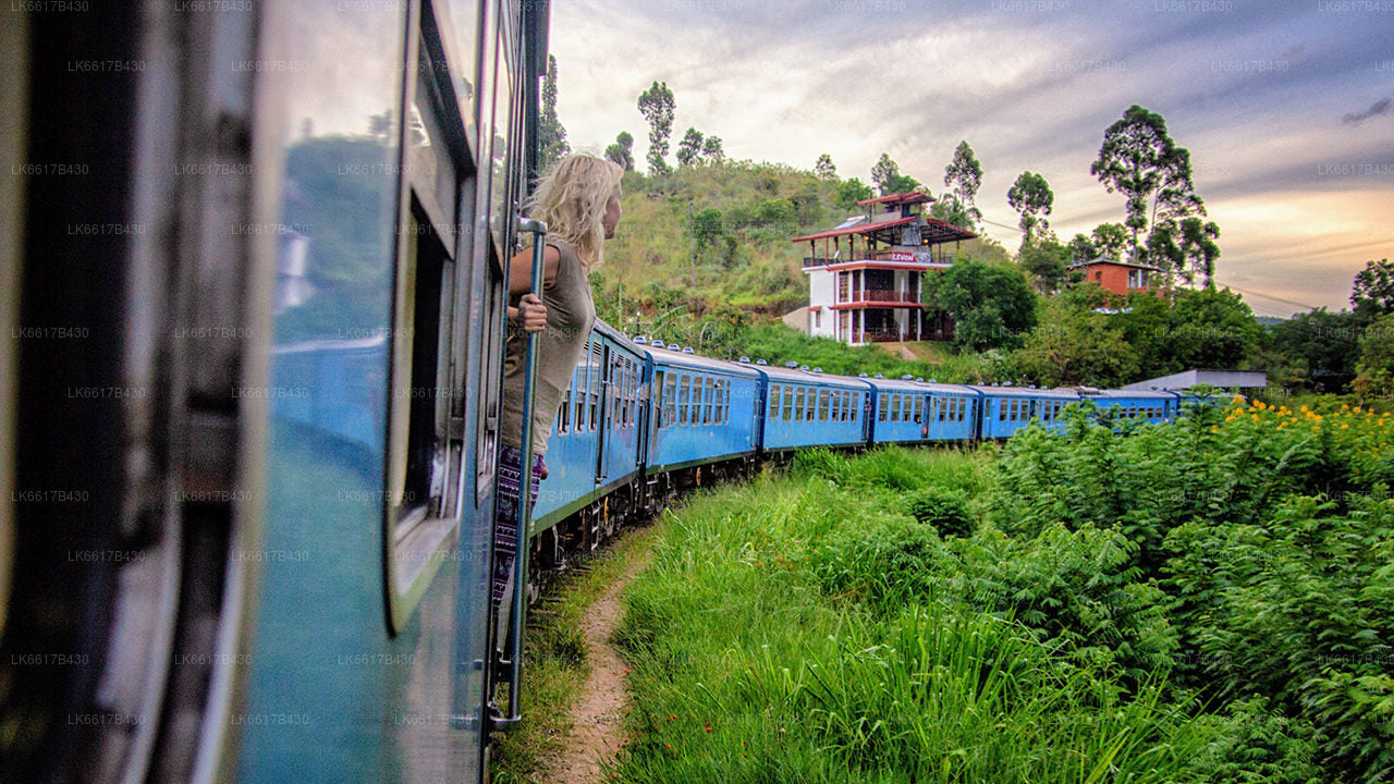
Balana is a suburb of Kandy, Sri Lanka. Balana popular as a rock fortress. It is situated near the Colombo-Kandy railway line.
Balana Fort, Alagalla mountain range are well known attraction located near Balana.
Balana Fort
Balana Fort was the main fortress established by the Kingdom of Kandy to protect the Sinhalese Kingdom from foreign powers, and is situated between Kadugannawa Pass and the Alagalla Range. Balana Fort is now a historical site managed by the Archaeological Department of Sri Lanka.[4
Alagalla Mountain Range
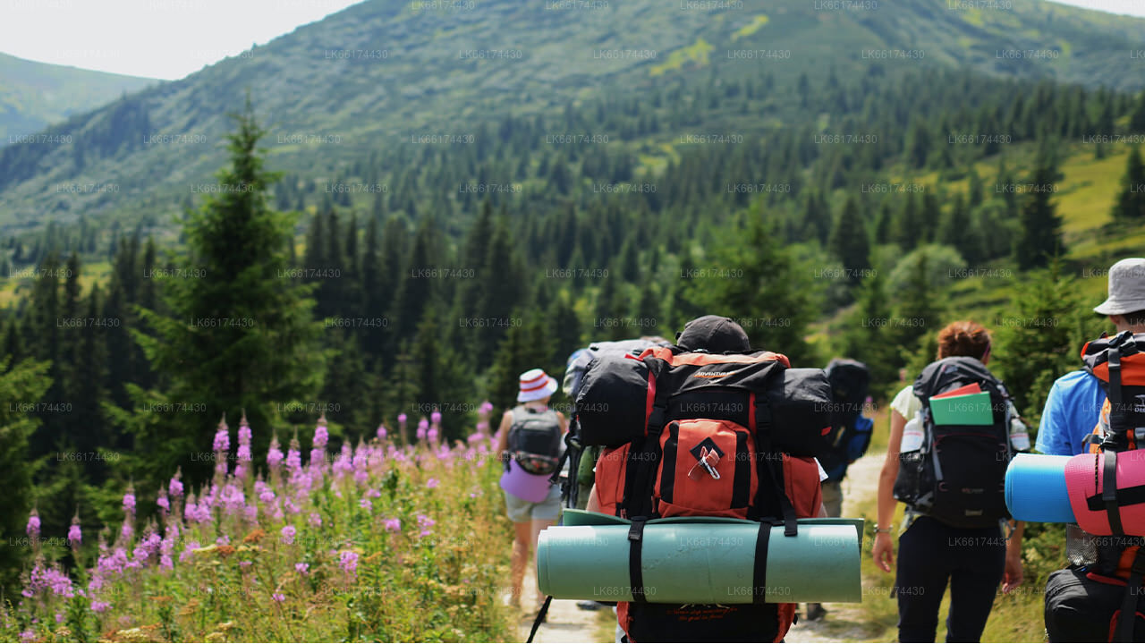
Alagalla Mountain Range is situated at the boundaries of the Central and Sabaragamuwa Provinces in Sri Lanka. Alagalla mountain has served as a natural defense location for nearly five centuries. He famous Balana Fort which functioned as a strategic rock fortress and an outpost to Kandyan kingdom was built between Kadugannawa Pass[1] and Alagalla Mountain Range. Attraction. Alagalla mountain popular as adventure hiking destination.
About Kandy District
Kandy district is situated in the centrel province of Sri Lanka. One of the seven World Heritage Sites in Sri Lanka, Kandy was once home to the Kandyan Kings of yore in the 16th-century and a fountainhead for all the music, arts, crafts and culture in the country. About 129 km away from Colombo, Kandy is ensconced amongst a hilly terrain and all eyes are drawn to the centre of the city, where the Kandy Lake forms a charming feature. Kandy retains great religious significance for SriLanka, because it is in this charming city that the Dalada Maligawa or "Temple of the Tooth" is located, within which the sacred tooth relic of Lord Buddha lies well guarded.
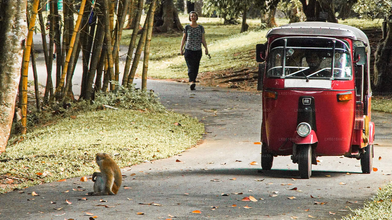
The Royal Botanical Garden, Peradeniya is situated about 5 km to the west of the city centre at Peradeniya and is visited by 1.2 million people per year. It is the largest botanical garden on the island. The Udawatta Kele (Udawatta Forest) is a protected sanctuary situated in the heart of the city, just north of Temple of the Tooth.
Kandy is a Sinhala majority city; there are sizeable communities belonging to other ethnic groups, such as Moors and Tamils. Kandy is second only to Colombo the center of the Sri Lankan Economy. Many major co-operations have large branch officers in Kandy and many industries include textiles, furniture, Information Technology, and jewelry are found here. Many agriculture
نبذة عن مقاطعة كاندي
تقع مقاطعة كاندي في وسط سريلانكا. تُعد كاندي أحد مواقع التراث العالمي السبعة في سريلانكا، وكانت موطنًا لملوك كاندي القدماء في القرن السادس عشر، ومنبعًا للموسيقى والفنون والحرف والثقافة في البلاد. تبعد كاندي حوالي 129 كم عن كولومبو، وتتمتع بتضاريس جبلية، وتتجه الأنظار إلى مركز المدينة، حيث تُشكل بحيرة كاندي معلمًا ساحرًا. تحتفظ كاندي بأهمية دينية كبيرة لسريلانكا، إذ يقع فيها دالادا ماليغاوا أو "معبد السن"، الذي يضم بقايا سن بوذا المقدسة التي تُحفظ بعناية فائقة.
تقع الحديقة النباتية الملكية في بيرادينيا على بُعد حوالي 5 كم غرب مركز مدينة بيرادينيا، ويزورها 1.2 مليون زائر سنويًا. وهي أكبر حديقة نباتية في الجزيرة. غابة أوداواتا (أوداواتا كيلي) محمية طبيعية تقع في قلب المدينة، شمال معبد السن مباشرةً.
كاندي مدينة ذات أغلبية سنهالية؛ وتضم مجتمعات كبيرة تنتمي إلى مجموعات عرقية أخرى، مثل الموريين والتاميل. تأتي كاندي في المرتبة الثانية بعد كولومبو، مركز الاقتصاد السريلانكي. للعديد من الشركات الكبرى فروع كبيرة في كاندي، وتوجد فيها العديد من الصناعات، بما في ذلك المنسوجات والأثاث وتكنولوجيا المعلومات والمجوهرات. كما تضم المدينة العديد من مراكز البحوث الزراعية.
وتُعد كاندي منبعًا لجميع أنواع الموسيقى والفنون والحرف اليدوية والثقافة في البلاد. تبعد كاندي حوالي 129 كيلومترًا عن كولومبو، وتقع وسط تضاريس جبلية، وتتجه الأنظار إلى مركز المدينة، حيث تُشكل بحيرة كاندي معلمًا ساحرًا. تحتفظ كاندي بأهمية دينية كبيرة لسريلانكا، إذ يقع فيها دالادا ماليغاوا (معبد السن)، الذي يضم بقايا سن بوذا المقدسة، وهي محفوظة بعناية فائقة. نبذة عن المقاطعة المركزية
تتكون المقاطعة المركزية في سريلانكا بشكل رئيسي من تضاريس جبلية. تبلغ مساحتها 5,674 كيلومترًا مربعًا، ويبلغ عدد سكانها 2,421,148 نسمة. من بين مدنها الرئيسية كاندي، وغامبولا (24,730 نسمة)، ونوارا إيليا، وباندارويلا. يتكون سكانها من مزيج من السنهاليين والتاميل والموريين. تقع كل من كاندي، عاصمة التلال، ومدينة نوارا إيليا ضمن المقاطعة المركزية، بالإضافة إلى سري بادا. تنتج المقاطعة معظم شاي سيلان الشهير، الذي زرعه البريطانيون في ستينيات القرن التاسع عشر بعد أن قضى مرض مدمر على جميع مزارع البن في المقاطعة. تجذب المقاطعة المركزية العديد من السياح، حيث تضم مدنًا جبلية مثل كاندي، وغامبولا، وهاتون، ونوارا إيليا. يُعد سن المعبد، أو دالادا ماليغاوا، المكان المقدس الرئيسي في المقاطعة المركزية.
المناخ بارد، وغالبًا ما تشهد العديد من المناطق التي ترتفع حوالي 1500 متر ليالٍ باردة. المنحدرات الغربية شديدة الرطوبة، حيث تهطل في بعض الأماكن ما يقارب 7000 ملم من الأمطار سنويًا. أما المنحدرات الشرقية، فهي جزء من منطقة الجفاف المتوسط، حيث تتلقى الأمطار فقط من الرياح الموسمية الشمالية الشرقية. تتراوح درجات الحرارة بين 24 درجة مئوية في كاندي و16 درجة مئوية فقط في نوارا إيليا، التي تقع على ارتفاع 1889 مترًا فوق مستوى سطح البحر. تقع أعلى جبال سريلانكا في المقاطعة الوسطى. التضاريس جبلية في معظمها، مع وديان عميقة تخترقها. المنطقتان الجبليتان الرئيسيتان هما الكتلة الجبلية الوسطى وسلسلة جبال نكلز شرق كاندي.


