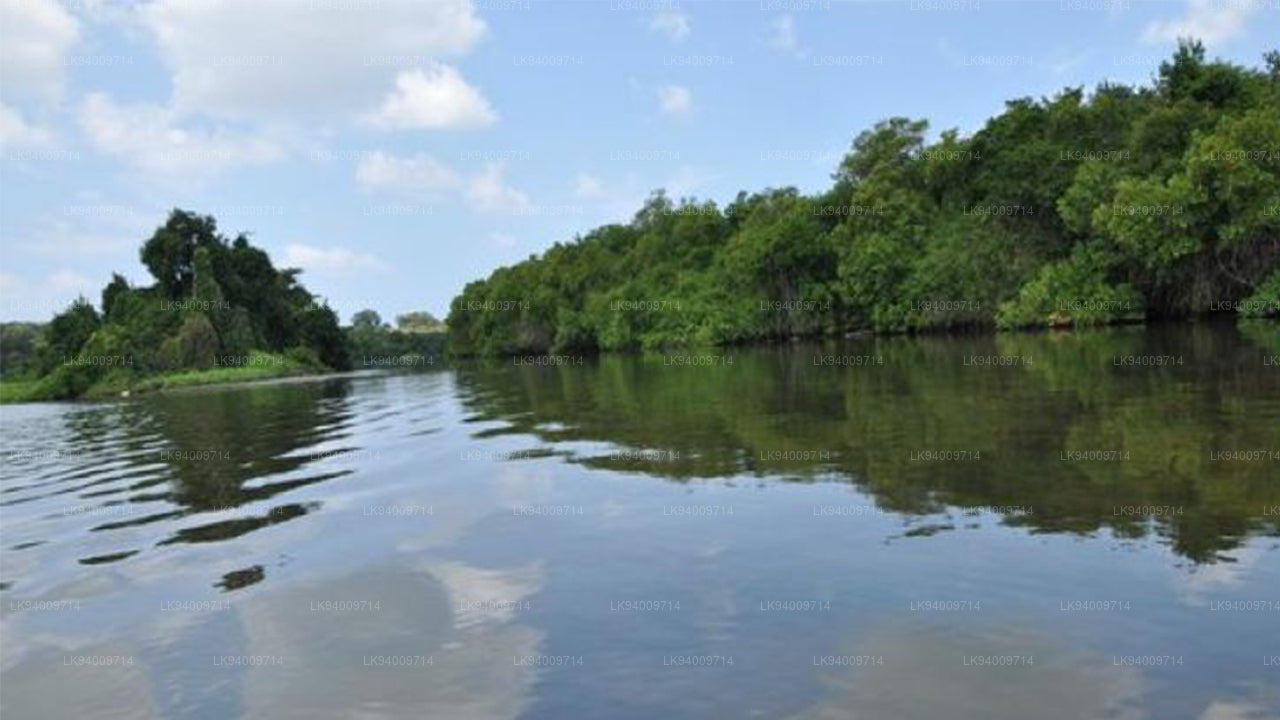
Kalu Ganga


Kalu Ganga, também conhecida como Rio Negro, é um dos rios mais importantes de Sri Lanka, fluindo através das paisagens pitorescas da Província Ocidental. Originando-se das colinas centrais, passa por áreas ricas em biodiversidade, florestas exuberantes e terras agrícolas, e finalmente deságua no Oceano Índico perto de Kalutara. Suas águas escuras, fluindo através de desfiladeiros íngremes e planícies abertas, proporcionam um contraste impressionante com as colinas verdes ao redor e as planícies costeiras planas.
Durante séculos, o Kalu Ganga tem sido central para o desenvolvimento dos sistemas de gerenciamento de água da região. Ele abastece vários reservatórios, incluindo os famosos reservatórios de Moragahakanda e Kotmale, que fornecem água para irrigação e geração de energia hidrelétrica. O rio tem apoiado a agricultura, especialmente o cultivo de arroz e hortaliças, em regiões como Ratnapura, Kalutara e áreas ao redor.
Ecologicamente, a bacia do Kalu Ganga abriga uma variedade de fauna. Suas florestas densas e ecossistemas ribeirinhos abrigam espécies endêmicas, e o estuário forrado de manguezais do rio serve como um habitat importante para aves migratórias aves, peixes e crustáceos. O papel do rio em sustentar tal biodiversidade faz dele um recurso natural valioso para conservação e ecoturismo. Os visitantes frequentemente exploram o curso sinuoso do rio através de passeios de barco excursões, observação de aves e caminhadas em áreas protegidas próximas.
Culturalmente, o Kalu Ganga é uma parte integrante das comunidades locais ao longo de seu percurso. Muitas aldeias e cidades, incluindo Kalutara, Ratnapura e Beruwala, dependem do rio para suas necessidades diárias de água, bem como para transporte e atividades de pesca. Também está associado a práticas religiosas, com templos e festivais culturais ocorrendo ao longo de suas margens, destacando sua profunda conexão espiritual com o povo da região.
Risco de Inundações & Importância Hidrológica
Devido ao seu tamanho significativo e à diversidade de sua área de captação, o Kalu Ganga exige monitoramento regular para gerenciar eficazmente os riscos de inundação. O fluxo do rio pode mudar drasticamente durante períodos de fortes chuvas nas colinas centrais, tornando o gerenciamento de inundações uma preocupação importante para as comunidades e as terras agrícolas ao redor.
-
Leitura Hidrológica Atual (Relatório Oficial):
Estação Putupaula – Nível de Alerta: 3,00 m, Nível de Inundação Menor: 4,00 m, Nível de Inundação Maior: 5,00 m, Nível Atual: 2,92 m (Normal).
Estação Ellagawa – Nenhuma leitura reportada. - Distritos Propensos a Inundações: Kalutara, Ratnapura e Beruwala são vulneráveis a inundações quando os níveis de água sobem nas áreas superiores de captação, especialmente durante o monção do sudoeste.


-
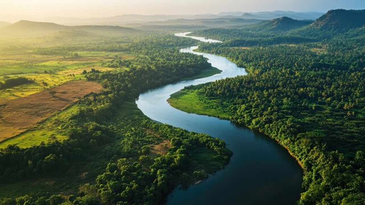 Mahaweli River
Explore the majestic Mahaweli River, Sri Lanka’s longest river, offering serene boat rides and opportunities for birdwatching and nature adventures along its winding course through scenic valleys.
-
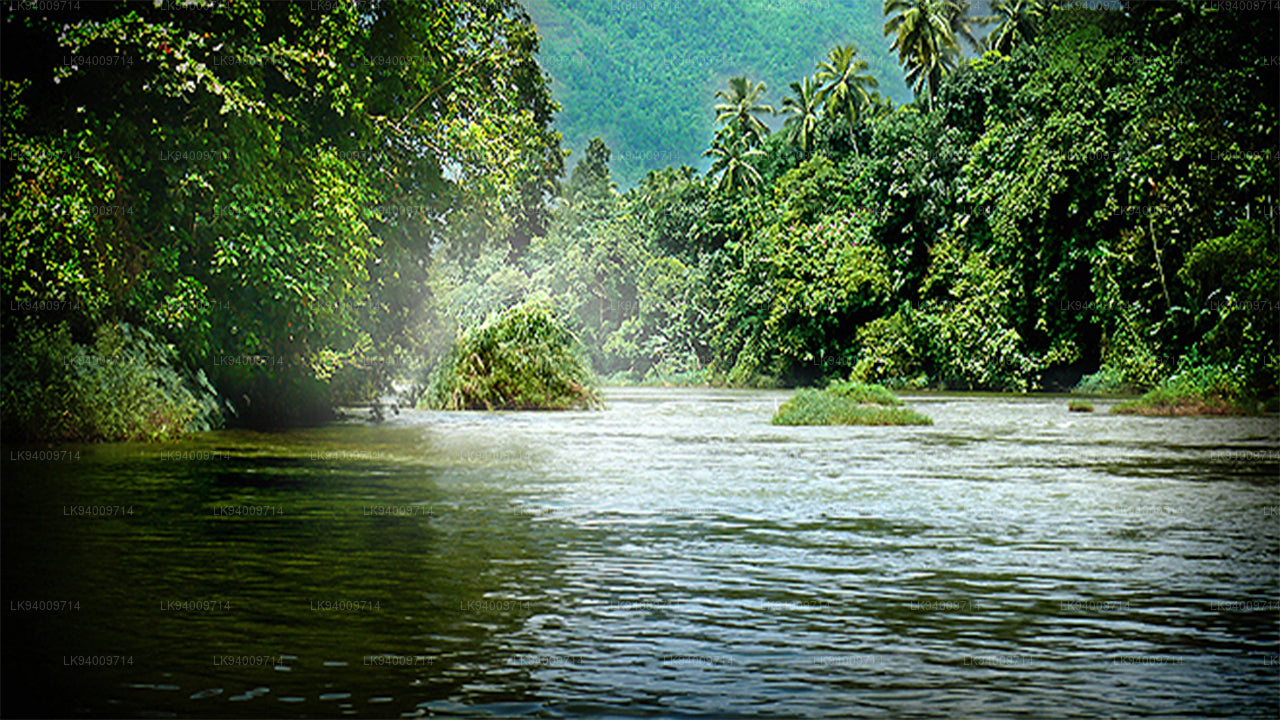 Kelani River
The Kelani River is a 145-kilometre-long (90 mi) river in Sri Lanka. It flows through or borders the Sri Lankan districts of Nuwara Eliya, Ratnapura, Kegalle, Gampaha and Colombo.
-
 Kalu Ganga
Kalu Ganga is a river in Sri Lanka. Measuring 129 km (80 mi) in length. The mountainous forests in the Province and the Sinharaja Forest Reserve are the main sources of water for the river.
-
 Walawe River
The southern region of Sri Lanka is exalted by a bushel of enthralling and glorified rivers and the Walawe River is one of them. Gently flowing through the Udawalawe National Park, the Walawe River provides water for a multitude of species of mesmerising fauna.
-
 Deduru Oya
The Deduru Oya Dam is an embankment dam built across the Deduru River in Kurunegala District of Sri Lanka. Built in 2014, the primary purpose of the dam is to retain approximately a billion cubic metres of water for irrigation purposes, which would otherwise flow out to sea.
-
 Malwathu Oya
The Malvathu River long river in Sri Lanka, connecting the city of Anuradhapura, which was the capital of the country for over 15 centuries, to the coast of Mannar. It currently ranks as the second longest river in the country, with a great historic significance.
-
 Kala Oya
It was around these ancient tank (water storage reservoir) irrigation systems that the economy and human settlements of early Sri Lankan society were organised into a “hydraulic civilization”.
-
 Gal Oya
Discover Gal Oya, a tranquil sanctuary in Sri Lanka, known for its lush landscapes, rich wildlife, and serene boat safaris, offering a peaceful retreat surrounded by nature and wildlife.
-
 Gin Ganga
The Gin Ganga, is a 115.9 km (72 mi) long river situated in Galle District of Sri Lanka. The river's headwaters are located near Deniyaya, bordering the Sinharaja Forest Reserve.
-
 Kirindi Oya
Experience the serene beauty of Kirindi Oya, a tranquil river in Sri Lanka. Enjoy scenic boat rides, lush landscapes, and opportunities for birdwatching, offering a peaceful escape into nature.
-
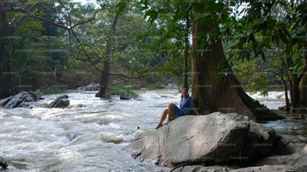 Kumbukkan Oya
The Kumbukkan Oya is the twelfth-longest river of Sri Lanka. It is approximately 116 km (72 mi) long. Its catchment area receives approximately 2,115 million cubic metres of rain per year.
-
 Maduru Oya
The Maduru Oya is a major stream in the North Central Province of Sri Lanka. It is approximately 135 km (84 mi) in length. approximately 3,060 million cubic metres of rain per year
-
 Manik River
Explore the peaceful Manik River, surrounded by lush greenery and rich wildlife. Enjoy scenic boat rides and nature walks, offering a serene and refreshing experience.
-
 Yan Oya
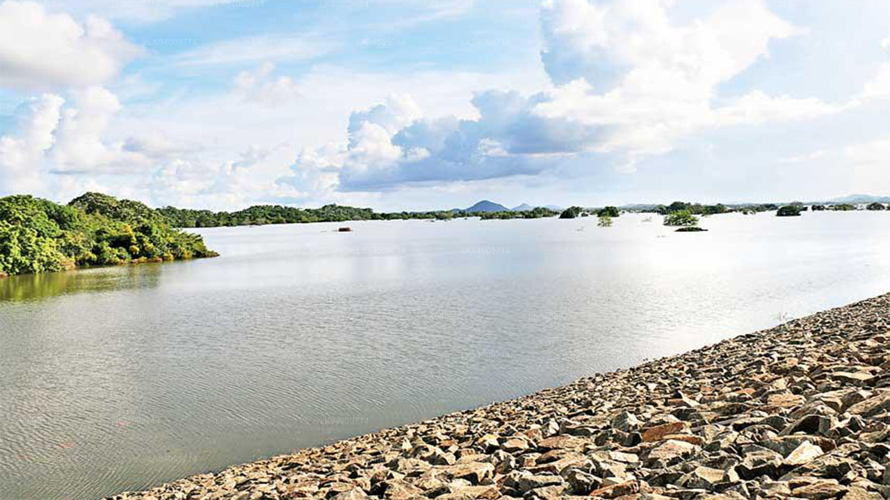
The Yan Oya, 142 km long and receives 2,371 million cubic meters of rainfall annually, with 17% flowing to the sea. Its catchment area covers 1,520 square kilometers.