Knuckles Mountain Range


Knuckles Range, also called the Dumbara Mountain Range, is located near Kandy, at the northern end of the Central Highlands of Sri Lanka. To the south and east of the mountain range is the Mahaweli River basin, while to the west are the Matale plains.
Access to Knuckles Range
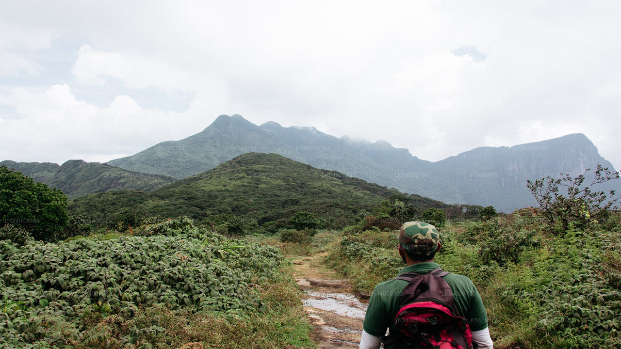
The trekkers' favorite approach to the Knuckles Range begins on the A26 main motorway running east of Kandy to Hunnasgiriya. At Hunnasgiriya, a B-grade road leads to Corbett's Gap, which opens up magnificent views of the Knuckles Range. From Corbett's Gap, the road that leads to the village of Meemure can also be traveled by a vehicle with good ground clearance.
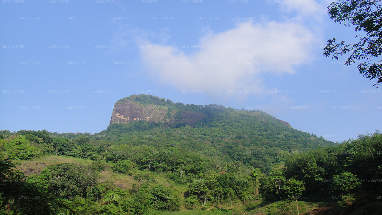
Trekkers also have two more entry options: from Matale via Rattota and Riverston, and from Wattegama via Panwila. The rugged peaks of the Knuckles (Dumbara Hills) were named by the British for their resemblance to the knuckles of a clenched fist. The steeply shelving mountain terrain reaches 1863 m at the summit of the main Knuckles peak itself (the sixth highest in Sri Lanka) and includes stands of rare dwarf cloud forest.
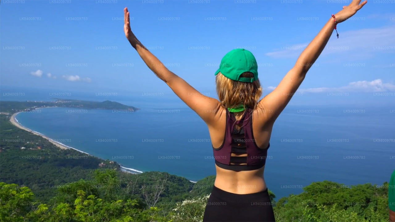
Trekking at Knuckles Range
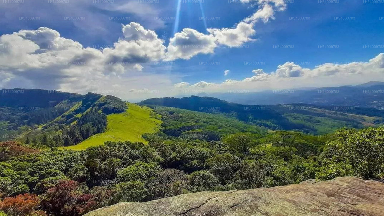
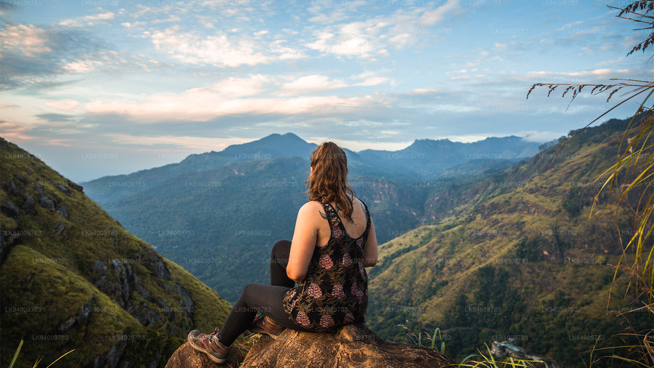
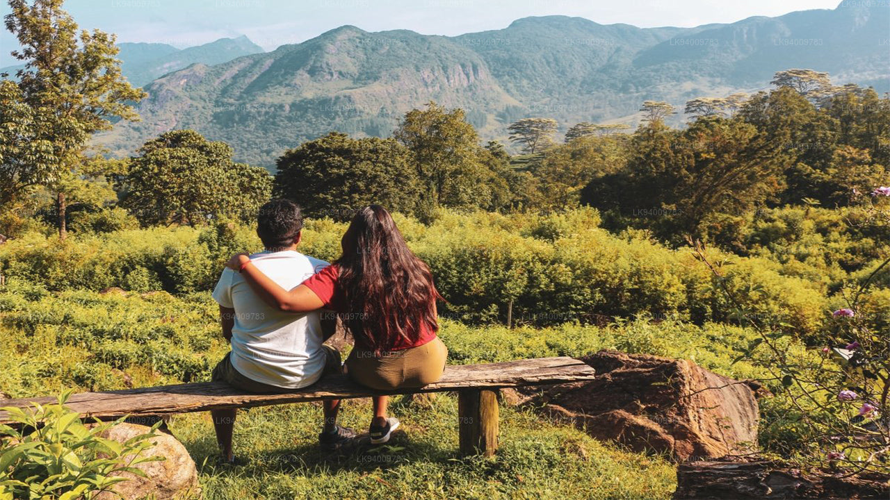
The Knuckles Range is one of the loveliest natural attractions of Sri Lanka. The changing terrain of grasslands, rugged mountain peaks interspersed with streams, and cascading waterfalls makes the Knuckles Mountain Range, which covers an area of 18,512 hectares, a trekker's paradise.
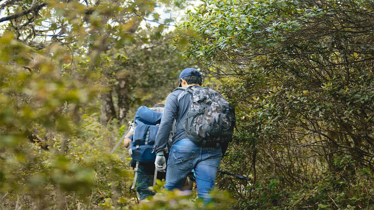
Knuckles Mountain Range, a World Heritage Conservation Area that affords intriguing trekking possibilities, is still, to a great extent, an untouched zone of significant natural beauty and biodiversity. Serious trekkers and biodiversity enthusiasts even take up a three-day hike of 40+ km with a guide.
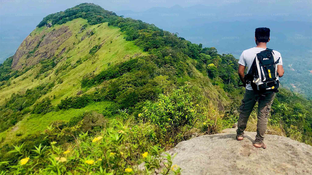
Popular hiking trails are Mini World's End from Deanston, trail to Dothalugala from Deanston, trail to Nitro Caves from Corbett's Gap, trail to Augallena Cave via Thangappuwa from Corbett's Gap, and trail to Kalupahana from Meemure village.
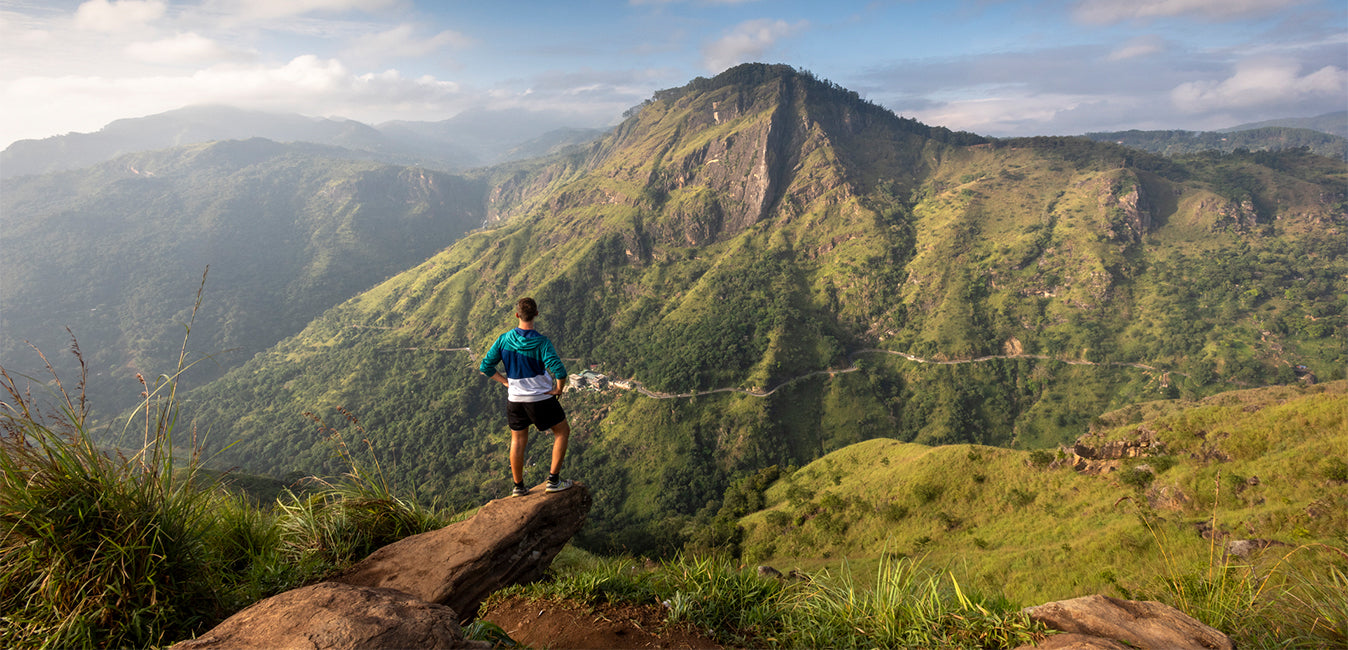
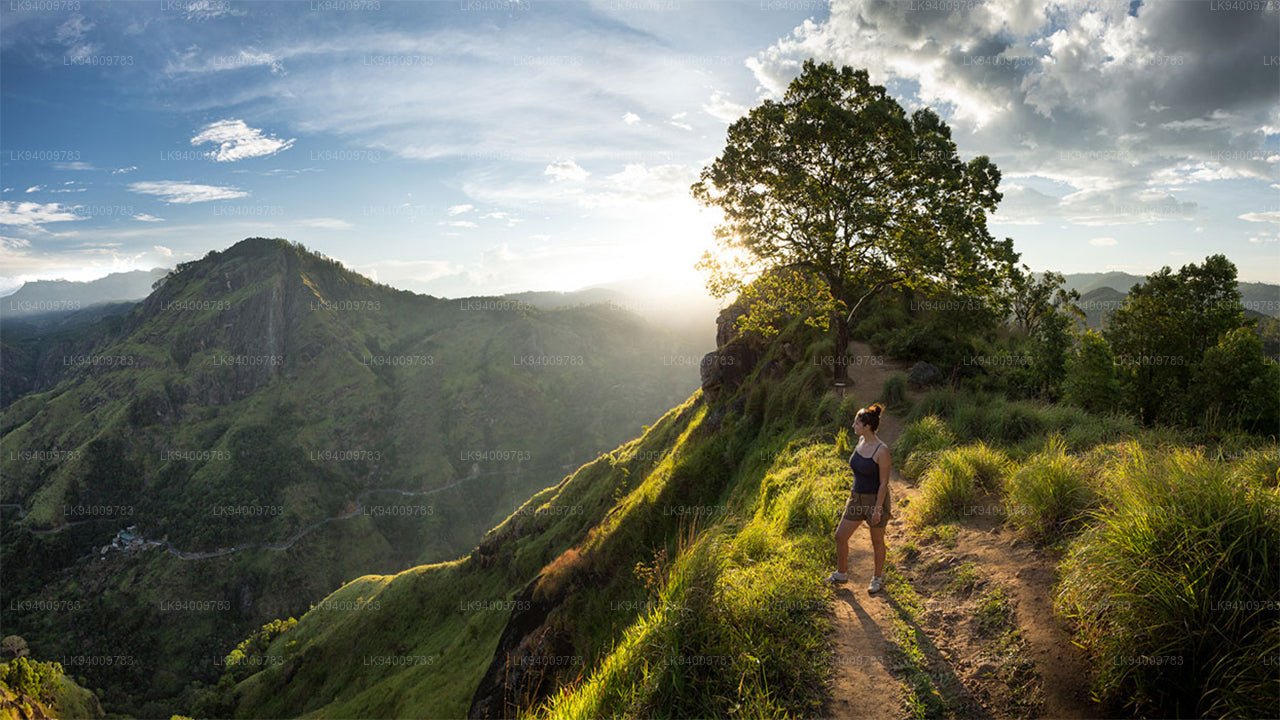
Mini World's End at Knuckles Range
Mini World's End (1192 m) is an escarpment situated at the southern end of the Knuckles Range and is a fine observation point. From this location, the panoramic view of the Knuckles Range and some villages situated at its foothills can be seen. The 1.1 km trek that begins at Knuckles Conservation Centre (KCC) - Deanston can be completed within one hour.
Mountain Peaks at Knuckles Range
Knuckles Mountain Range features 34 peaks ranging in height between 900 meters and 1900 meters. Five high mountain peaks of the range resemble a clenched fist, which is why the British in Ceylon named it the Knuckles Range.
Weather and Season
Weather in the Knuckles Mountain Range is unpredictable and can transform within minutes. A thick mist can shroud the mountains in a matter of minutes, and rain can arrive on any day.
December to February is a good period to enjoy trekking at Knuckles, with a moderate possibility of rain. March to May is also a good period to go trekking, with a lower chance of rain. June to September has the lowest possibility of rain and presents the best opportunity. September to November is generally less preferred by trekkers due to higher rainfall.
Climate at Knuckles Range
The average rainfall at Knuckles Range lies between 3000-5000 mm, while the temperature ranges between 5.5 and 35 degrees Celsius. The Southwest Monsoon brings rain through gaps in the mountain range. The average wind speed is approximately 7.2 km/hour, and humidity lies between 57%-90%.
Meemure, Kaikawala, and Galamuduna are among the traditional villages in and around the Knuckles Mountain Range. The area is inhabited by villagers living in 37 ancient villages. The existence of these indigenous communities depends on rice cultivation, chena cultivation, and cardamom cultivation. Transport of produce is done by pack oxen called Thawalama. Meemure remained such a traditional village that electricity arrived only in 2008.
Biodiversity at Knuckles Range
Knuckles Range is home to mammals such as wild boar, spotted deer, giant squirrel, barking deer, purple-faced leaf monkey, mongoose, and porcupine.
Among the endemic lizard species found at Knuckles Range are Crestless Lizard (Calotes liocephalus), Pygmy Lizard (Cophotis ceylonica), Kangaroo Lizard (Otocryptus wiegmanni), and Leaf-nosed Lizard (Ceratophora tennentii), which is found only in this forest. Knuckles Range is home to no fewer than 200 bird species. Fifteen of these are endemic to Sri Lanka, including Spot-winged Thrush, Sri Lanka Blue Magpie, Junglefowl, Yellow-fronted Barbet, Crimson-fronted Barbet, Sri Lanka Warbler, White-faced Starling, Sri Lanka White-eye, Black-headed Bulbul, Yellow-eared Bulbul, Dull-blue Flycatcher, Brown-capped Babbler, and Layard's Parakeet.
Forest Cover at Knuckles Range
Knuckles features great diversity in forest cover: dry evergreen forests, montane forests, sub-montane forests, dry and wet pathana, and savanna. It has been found that 20 percent of plant species here are endemic to Sri Lanka. A wide range of hardwood and herbal plants are found here.
-
 Pidurutalagala
Pidurutalagala or Mount Pedro in English, is an ultra prominent peak, and the tallest mountain in Sri Lanka, at 2,524 m (8,281 ft). Mount Pedro is located close to the city of Nuwara Eliya, and is easily visible from most areas of the Central Province. It is situated North-North-East from the town of Nuwara Eliya.
-
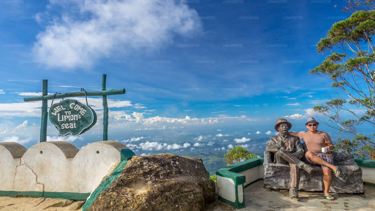 Lipton's Seat
Lipton’s Seat is a high observation point in the hills of Poonagala. Located on the top of the town’s namesake, Poonagala Hill, it is also near the Dambatenne Tea Factory. Lipton’s Seat is so named because the famed Scottish baron and tea planter Sir Thomas Lipton used it as the seat to survey his empire in a time long gone but not forgotten.
-
 Little Adam’s Peak
Don’t defiance the beautiful tourism site in Sri Lanka, Little Adams Peak whether considering the word ‘Little’, it is named after the sacred Adams Peak (Sri Pada –where the foot print of Lord Buddha is preserved) regarding the similarity between the two mountains.
-
 Ritigala
Ritigala can be reached from the turn-off from Habarana-Anuradhapura Road at a distance of 12 km from Habarana. Another 5 km along a graveled yet motorable road leads to the foot of the mountain.
-
 Ethagala (Elephnat Rock)
Ethagala (the Elephant Rock) is one of seven rocks that overlook the town of Kurunegala, in Sri Lanka. The rock face reaches 316 metres (1,037 ft) over the town and in its shape resembles a crouching elephant, which explains the rock’s name.
-
 Rumasalla Mountain
Rumasalla Mountain. In the past, Rumassala was known as Buono Vista, a name that dates back to the colonial period, and most likely a corruption.
-
 Knuckles Range
Knuckles range also called Dumbara mountain range is located off Kandy, in the northern end of Central Highlands of Sri Lanka. To the south and east of the mountain range is Mahaweli river basin while to the west are Matale plains.
-
 Alagalla Mountain Range
Alagalla Mountain Range. Alagalla Mountain Range or “Potato Range” is situated at the boundaries of the Central and Sabaragamuwa Provinces in Sri Lanka.
-
 Bible Rock
Bible Rock is a mountain near Aranayake in Kegalle District in central Sri Lanka. It is known as the “Bible Rock” as its surface resembles.
-
 Monkey Mountain
Monkey Mountain. The Gal Oya area is resplendent with forest and lush with vegetation. Totally off-the-beaten-track and off-limits during the war, the area has avoided much development and the landscape is mostly unspoiled.
-
 Yahangala
The great King Ravana’s body was kept after his death upon this rock called Yahangala( bedrock), for his countrymen to pay their last respects to their dear departed king.