Districts
Sri Lanka is divided into 25 districts, each governed by a District Secretary and further subdivided into Divisional Secretariats and Grama Niladhari Divisions. These districts are organized into nine provinces, reflecting the island’s rich cultural and geographical diversity.
Districts
Sri Lanka is divided into 25 districts, each governed by a District Secretary and further subdivided into Divisional Secretariats and Grama Niladhari Divisions. These districts are organized into nine provinces, reflecting the island’s rich cultural and geographical diversity.
Districts
Sri Lanka is divided into 25 districts, each governed by a District Secretary and further subdivided into Divisional Secretariats and Grama Niladhari Divisions. These districts are organized into nine provinces, reflecting the island’s rich cultural and geographical diversity.
Districts
Sri Lanka is divided into 25 districts, each governed by a District Secretary and further subdivided into Divisional Secretariats and Grama Niladhari Divisions. These districts are organized into nine provinces, reflecting the island’s rich cultural and geographical diversity.
Districts
Sri Lanka is divided into 25 districts, each governed by a District Secretary and further subdivided into Divisional Secretariats and Grama Niladhari Divisions. These districts are organized into nine provinces, reflecting the island’s rich cultural and geographical diversity.
Batticaloa-district
Batticaloa is een belangrijke stad in de Oostelijke Provincie, Sri Lanka, en was de voormalige hoofdstad. Het is de administratieve hoofdstad van het Batticaloa-district. De stad is de zetel van de Eastern University of Sri Lanka en is een belangrijke commerciële stad. Het ligt aan de oostkust, 111 kilometer (69 mijl) ten zuiden van Trincomalee, en bevindt zich op een eiland. Pasikudah is een populaire toeristische bestemming, gelegen 35 km ten noordwesten, met stranden en ondiepe lagunes met warm water het hele jaar door.
Batticaloa is een afgeleide naam uit het Portugees. De oorspronkelijke naam van het gebied is het Tamil "Matakkalappu". Volgens "Mattakallappu Manmiyam" bestaat het woord Mattakkallpu uit Tamil woorden "Mattu" (Matta), afgeleid van "Mattam", wat 'vlak' betekent, en de geografische naam KaLappu. Mukkuwa noemde deze plaats KaLappu-Mattam of de grens van de lagune, wat later Matta-Kallappu of Vlakke Lagune werd. Ook heeft Batticaloa de bijnaam "Land van de zingende vissen" vanwege de muzikale geluiden die te maken hebben met vissen of waterdieren in de Batticaloa Lagune nabij de Kallady-brug. BBC Radio 4 slaagde erin het mysterieuze geluid op te nemen in de Batticaloa Lagune. Het geluid werd in de jaren 60 uitgezonden door de Sri Lanka Broadcasting Corporation met de hulp van de katholieke priester vader Lang.
Batticaloa ligt aan de oostkust van Sri Lanka op een vlakke kustvlakte, begrensd door de Indische Oceaan in het oosten en neemt een centraal deel van het oosten van Sri Lanka in. De gemiddelde hoogte is ongeveer 5 meter. Het Batticaloa-district heeft drie lagunes zoals de Batticaloa Lagune, Valaichchenai Lagune en Vakari (Panichchankerni) Lagune. Van deze lagunes is de Batticaloa Lagune de grootste en heeft een lengte van 56 km en een oppervlakte van 162 km², die zich uitstrekt van Pankudaweli in het noorden en Kalmunai in het zuiden.
Er zijn verschillende eilanden in de Batticaloa Lagune, zoals Puliayantheevu, Buffaloa Island en Bone Island. Veel bruggen zijn gebouwd over de lagune die het land en de eilanden met elkaar verbinden. Puliayantheevu is het stedelijke gebied van de stad. De grootste brug is de Lady Manning Bridge, die zich bevindt bij Kallady, en is de belangrijkste toegangsweg naar de stad vanaf de zuidelijke delen van het district. De stranden van Batticaloa zijn zandig en bevinden zich langs 4 km kustlijn in de stad en strekken zich verder uit naar de omliggende gebieden. Ze omvatten Kallady Beach, Pasikudah en Kalkudah. Pasikudah is een baai die beschermd is tegen de oceaan, met een vlak en zandig bed dat zich 150 tot 200 meter van de kust uitstrekt.
Batticaloa heeft een tropisch nat en droog klimaat volgens de Köppen-klimaklassificatie, ook wel 'droog-monsoonaal klimaat' genoemd. Het klimaat in Batticaloa is het hele jaar door gematigd. Van maart tot mei, het warmste seizoen van het jaar, is de maximale temperatuur gemiddeld ongeveer 32 graden Celsius (88 graden Fahrenheit). Tijdens het moessonseizoen van november tot februari worden zware regenbuien geregistreerd, met een gemiddelde temperatuur van 25 °C. De jaarlijkse gemiddelde neerslag in Batticaloa is 1.650,9 mm (65,00 inch).
Districts of Sri Lanka
-
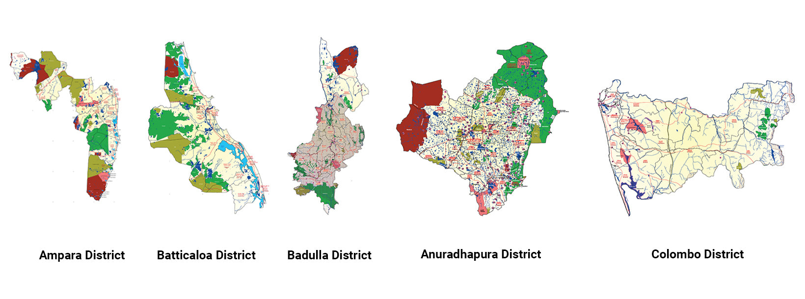
Ampara DistrictA district rich in agriculture, Ampara offers pristine beaches, historical Buddhist sites, and a diverse cultural landscape.
-
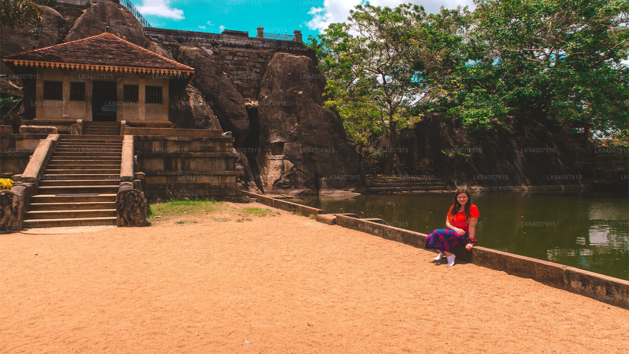
Anuradhapura DistrictOne of the ancient capitals, Anuradhapura is a UNESCO World Heritage Site, rich with historic Buddhist monuments and temples.
-
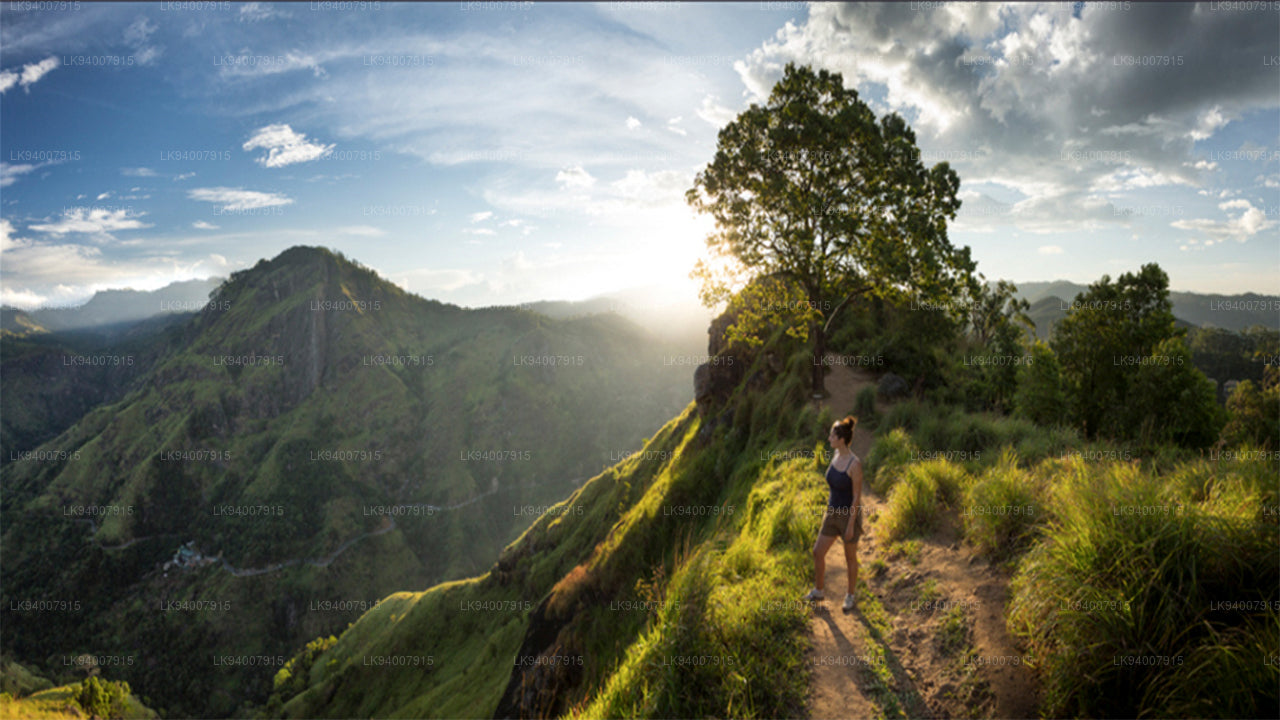
Badulla DistrictBadulla is a scenic district surrounded by mountains, tea plantations, and stunning waterfalls, offering a peaceful retreat.
-
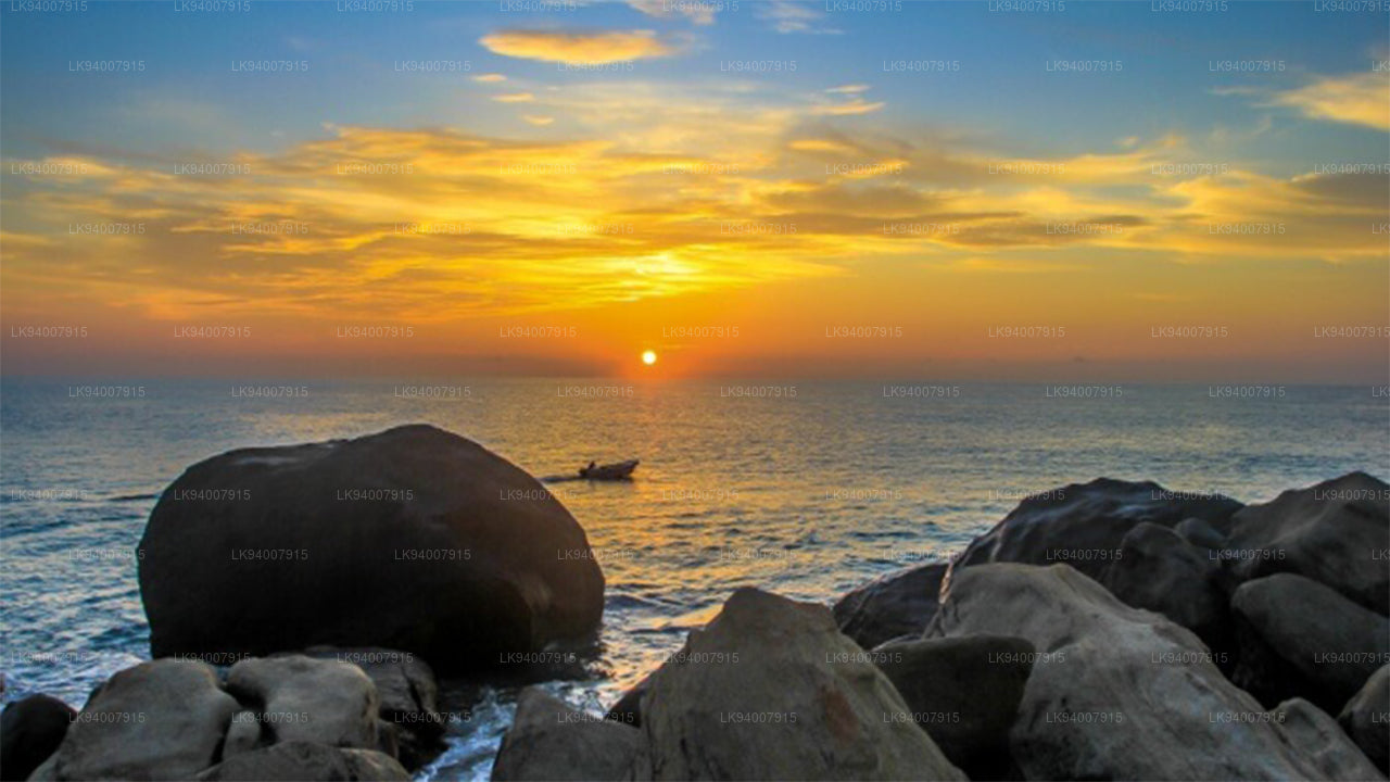
Batticaloa DistrictKnown for its lagoons and beaches, Batticaloa is a serene district with a rich blend of Tamil and Muslim culture.
-
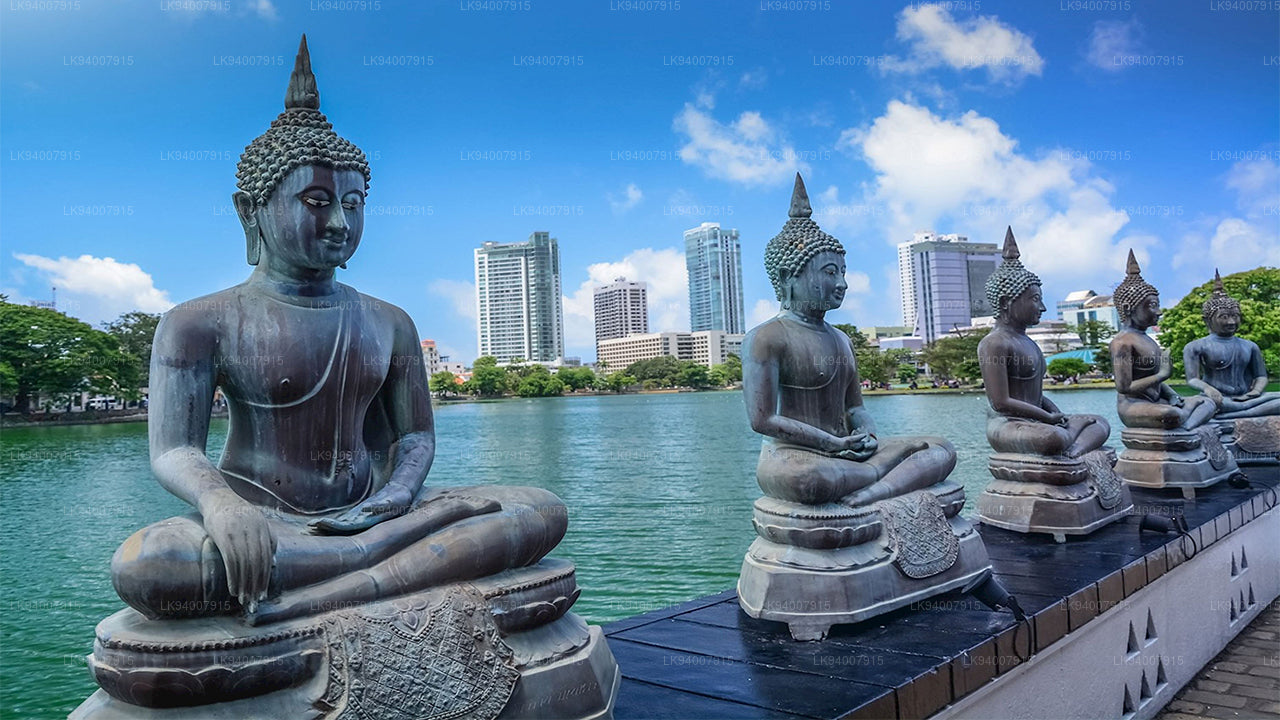
Colombo DistrictSri Lanka’s bustling commercial capital, Colombo is a vibrant metropolis known for its urban landscape, colonial architecture, and coastal beauty.
-
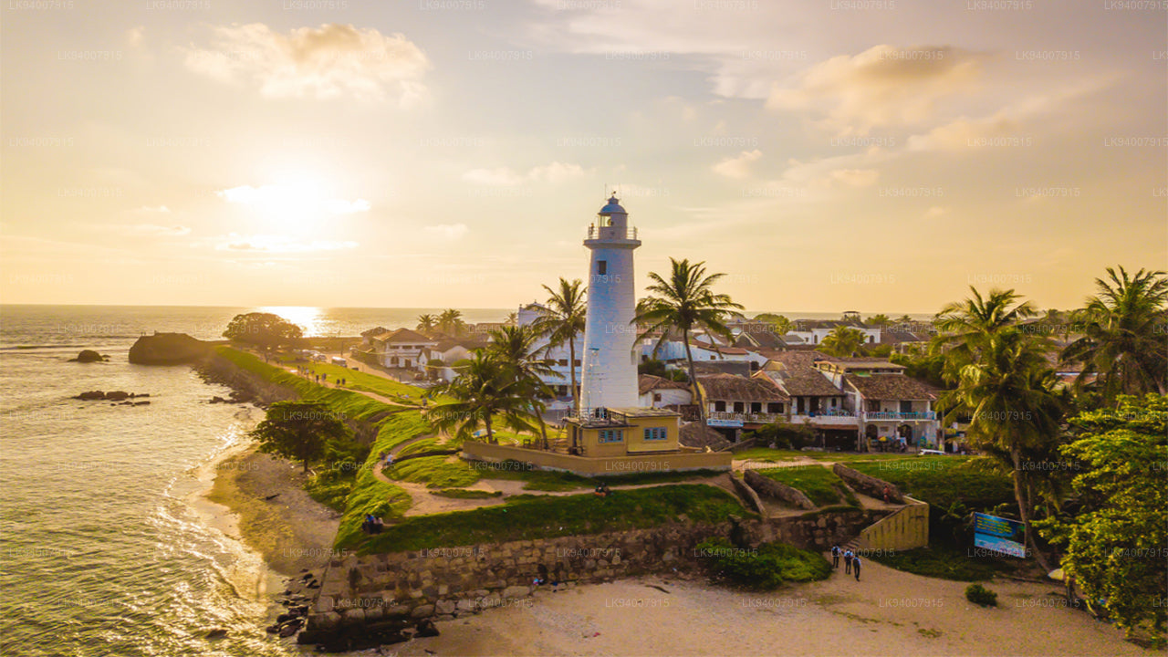
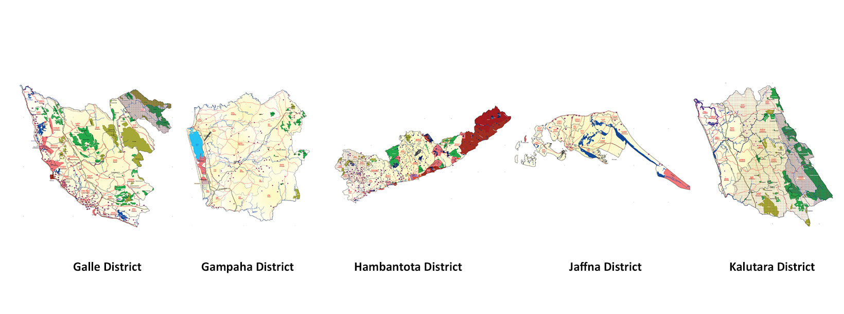
Galle DistrictA historic coastal district, Galle is famous for its UNESCO-listed Dutch Fort, pristine beaches, and rich colonial history.
-
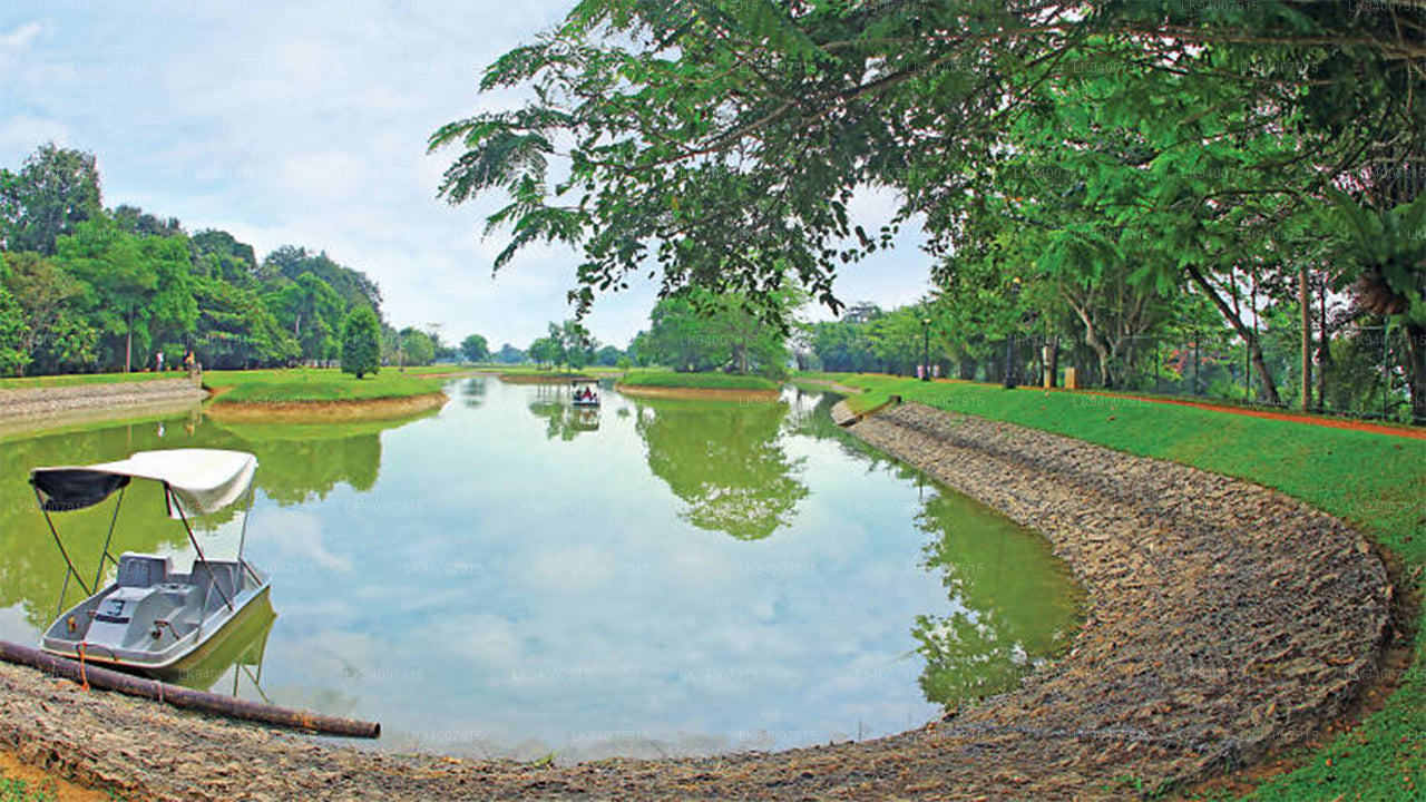
Gampaha DistrictA district blending urban and rural life, Gampaha is home to the Katunayake Airport and scenic beaches.
-
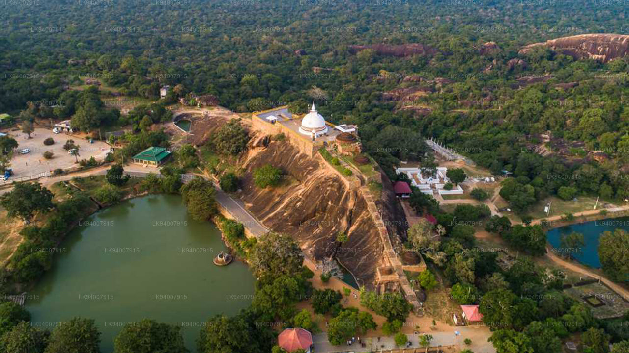
Hambantota DistrictKnown for its wildlife parks, including Yala and Bundala, Hambantota is a growing hub of development and eco-tourism.
-
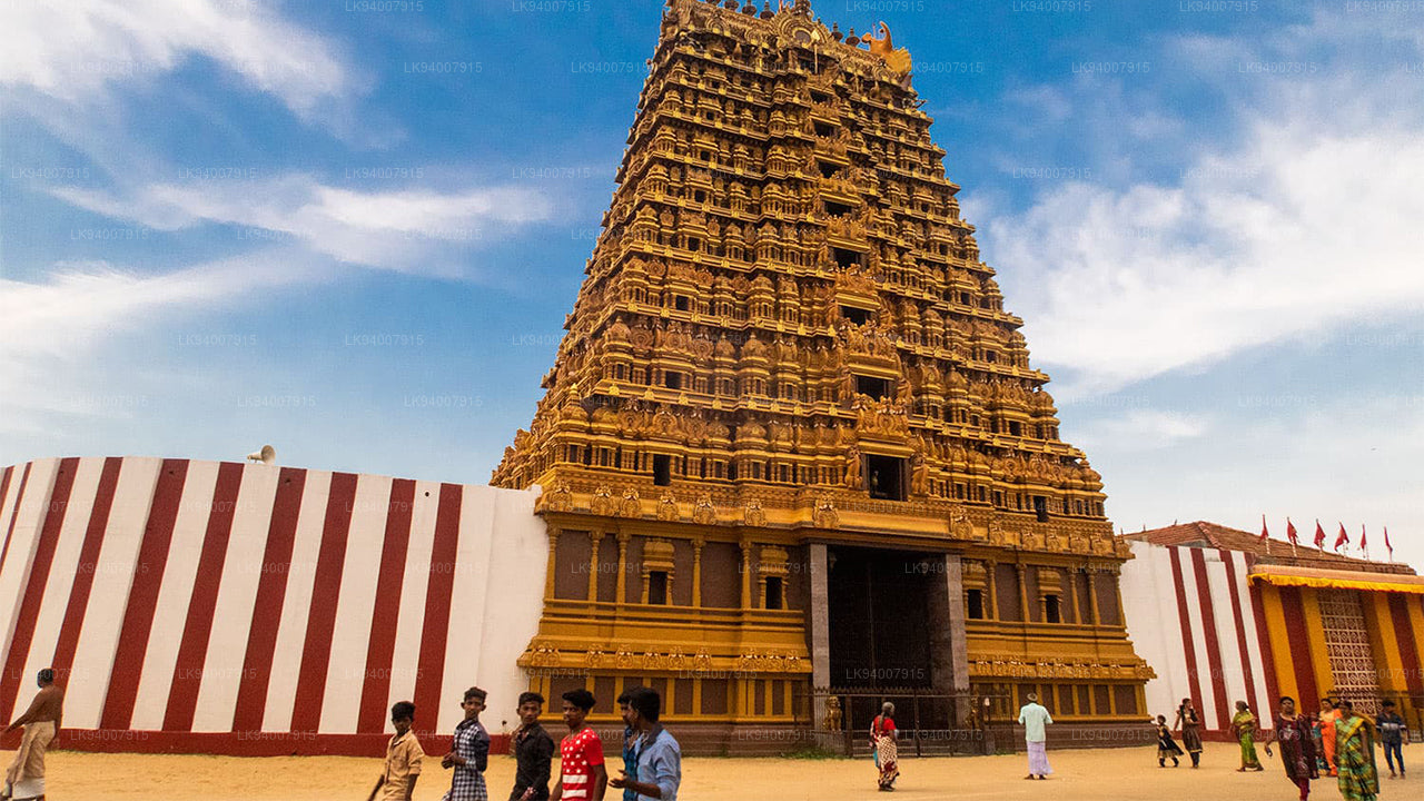
Jaffna DistrictThe cultural center of Tamil heritage, Jaffna is known for its historic temples, vibrant culture, and rich history.
-
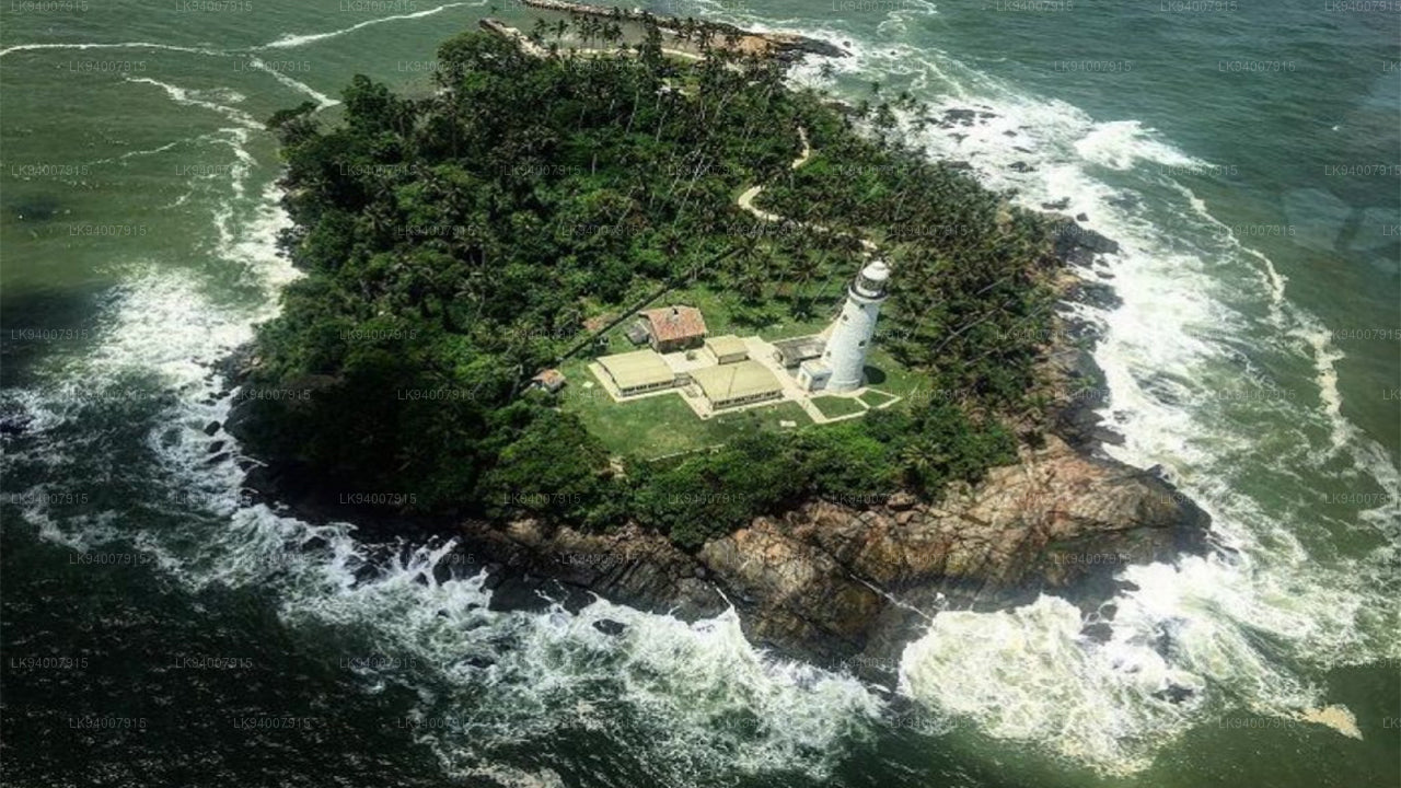
Kalutara DistrictKnown for its historic Kalutara Bodhiya and beautiful beaches, Kalutara offers coastal charm and religious significance.
-
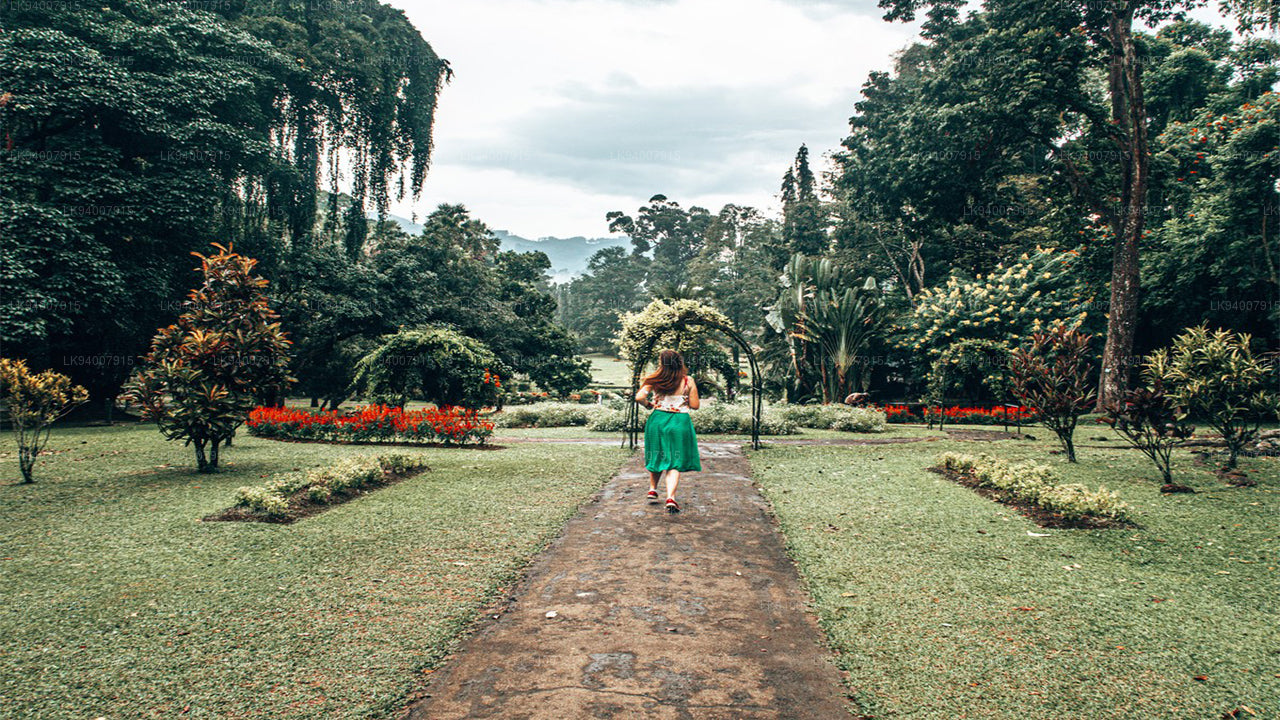
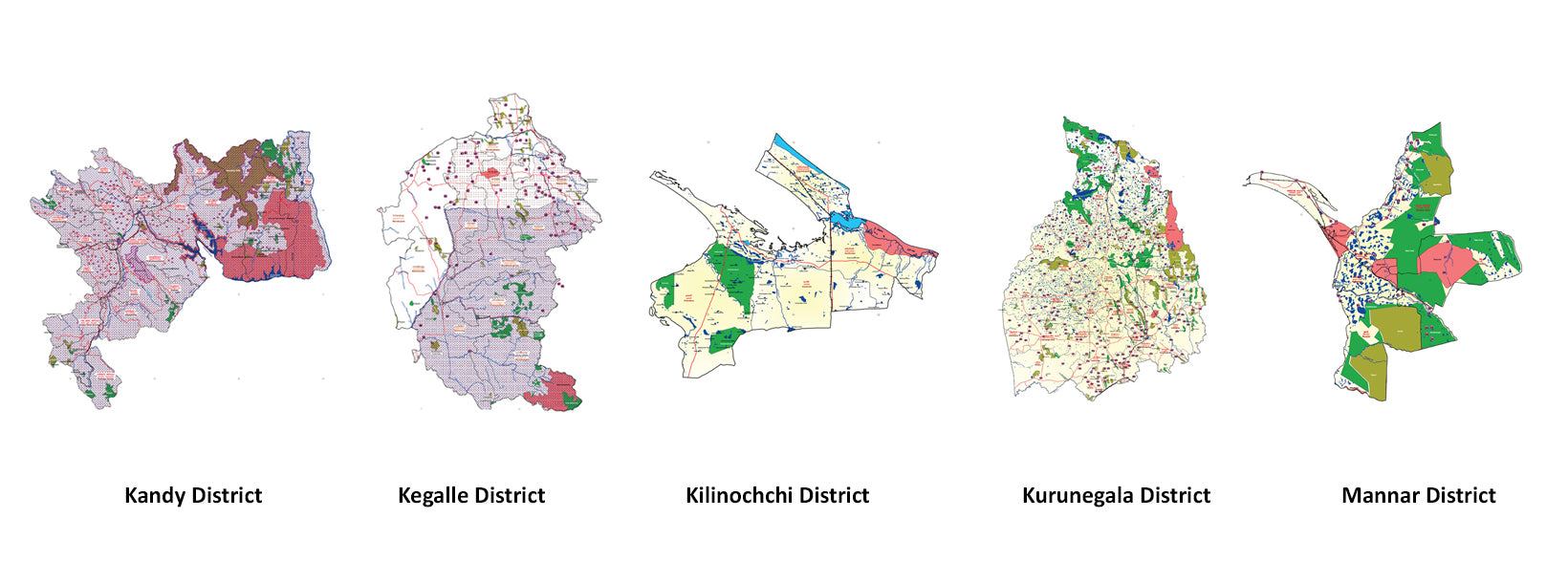
Kandy DistrictFamous for the Temple of the Tooth and its stunning lake, Kandy is the cultural heart of Sri Lanka and a UNESCO World Heritage Site.
-
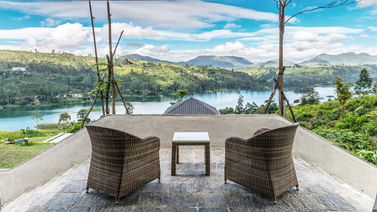
Kegalle DistrictKegalle is known for its rubber plantations and the Pinnawala Elephant Orphanage, a popular tourist attraction.
-
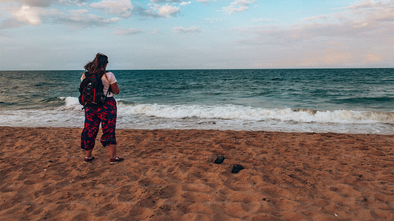
Kilinochchi DistrictA primarily agricultural district, Kilinochchi has seen rapid post-war development and is home to numerous water resources.
-
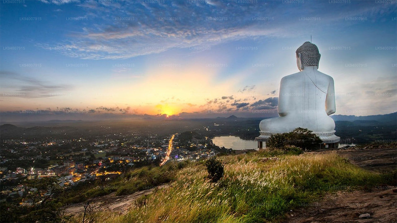
Kurunegala DistrictFamous for its elephant rock, Kurunegala is an agricultural hub surrounded by historic ruins and religious sites.
-
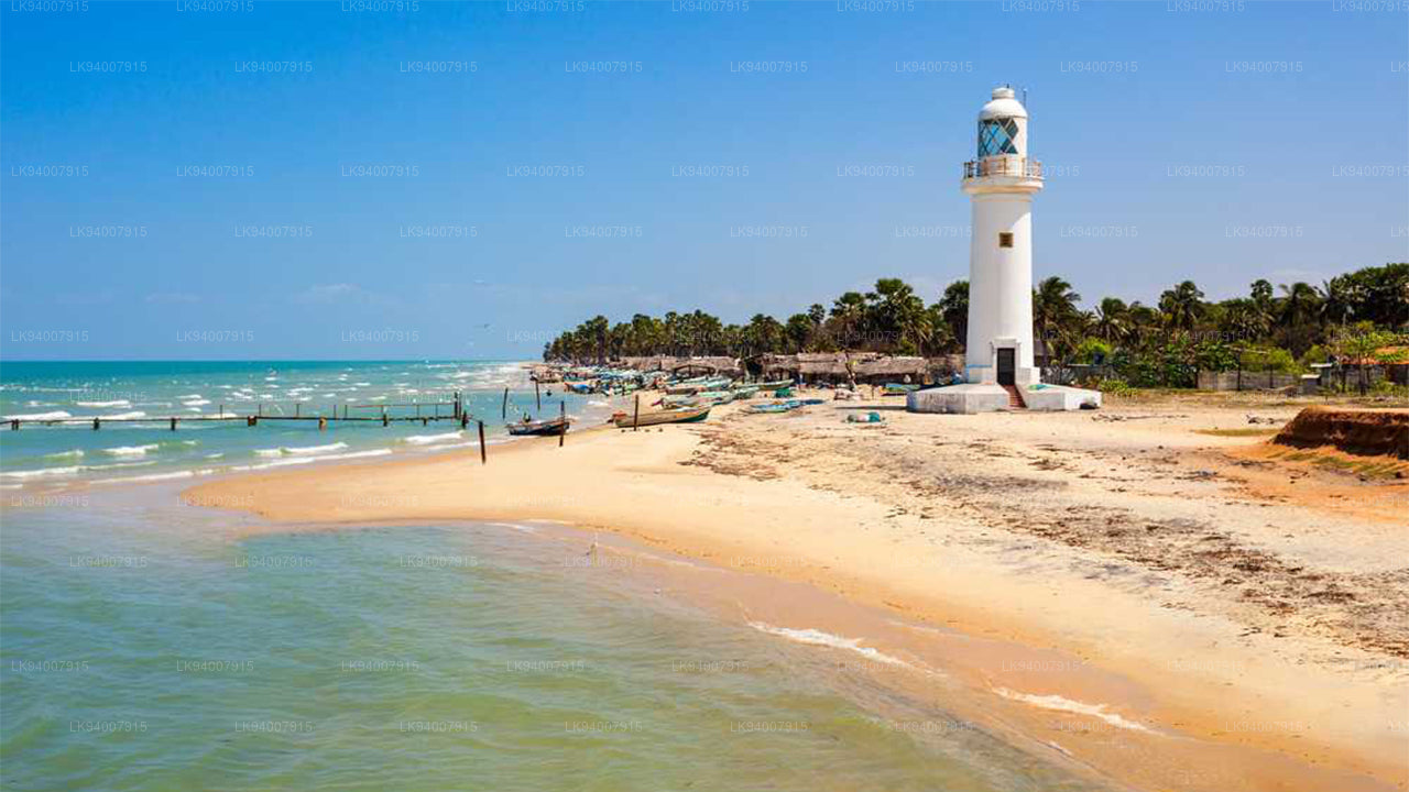
Mannar DistrictFamous for its unique landscapes, pearl fisheries, and the historic Mannar Fort, this district has a rich maritime history.
-
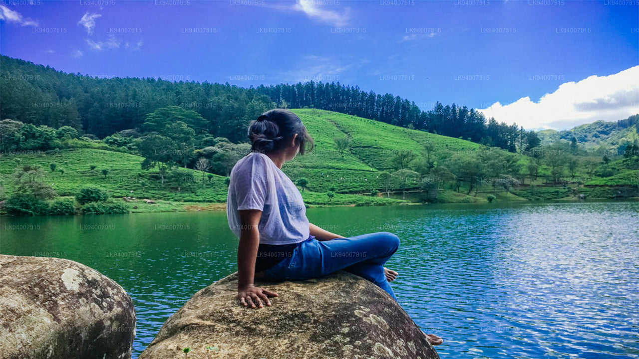
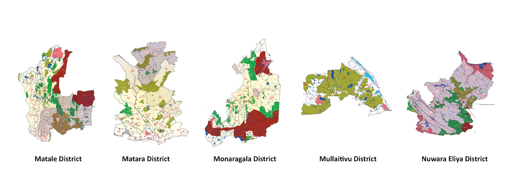
Matale DistrictA district filled with spice plantations, waterfalls, and historic temples, Matale offers scenic natural beauty.
-
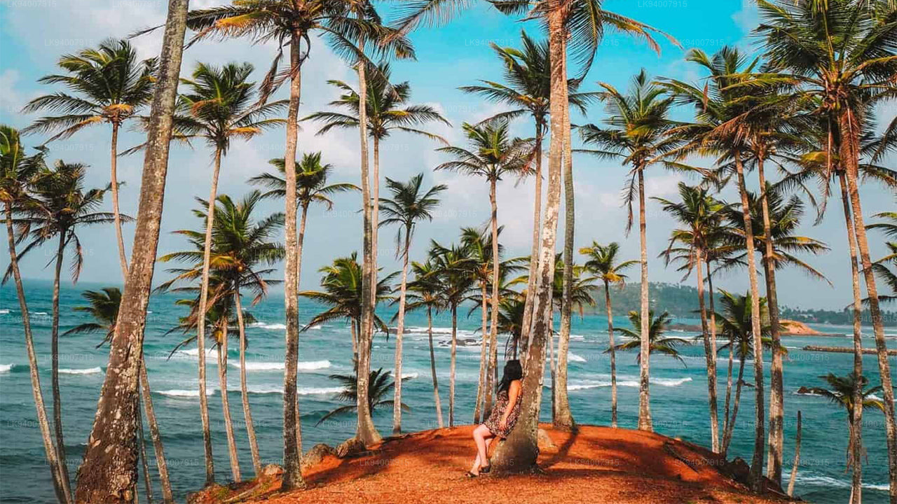
Matara DistrictMatara boasts stunning beaches, the Dondra Head lighthouse, and a mix of coastal and cultural attractions.
-
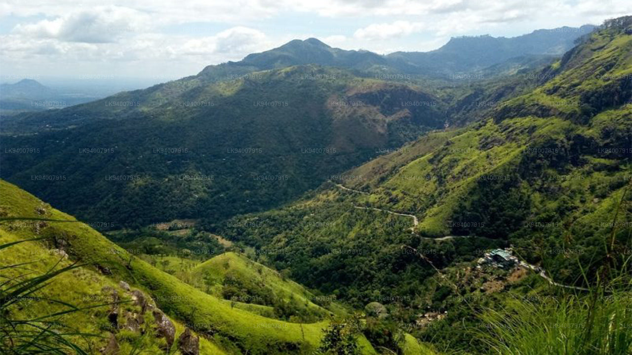
Monaragala DistrictKnown for its rugged landscapes and rich biodiversity, Monaragala is an agricultural district with vast natural beauty.
-
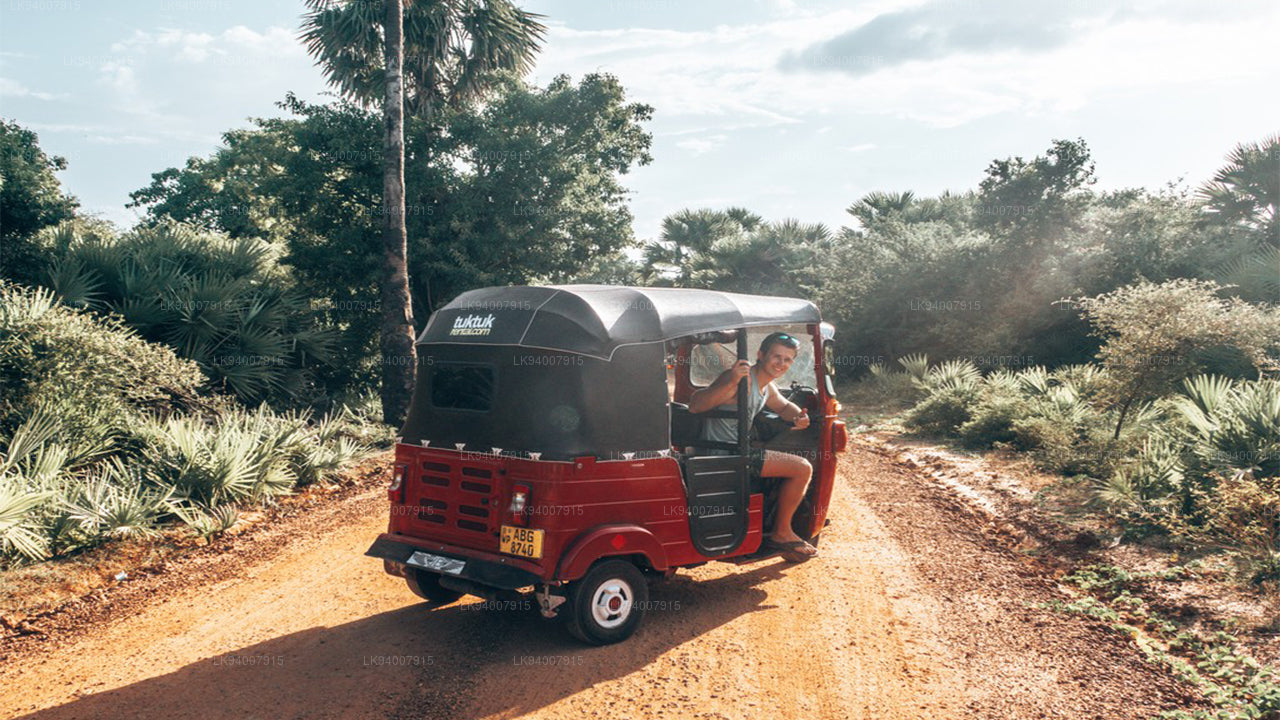
Mullaitivu DistrictA largely rural and coastal district, Mullaitivu is known for its beaches and significant history during the civil conflict.
-
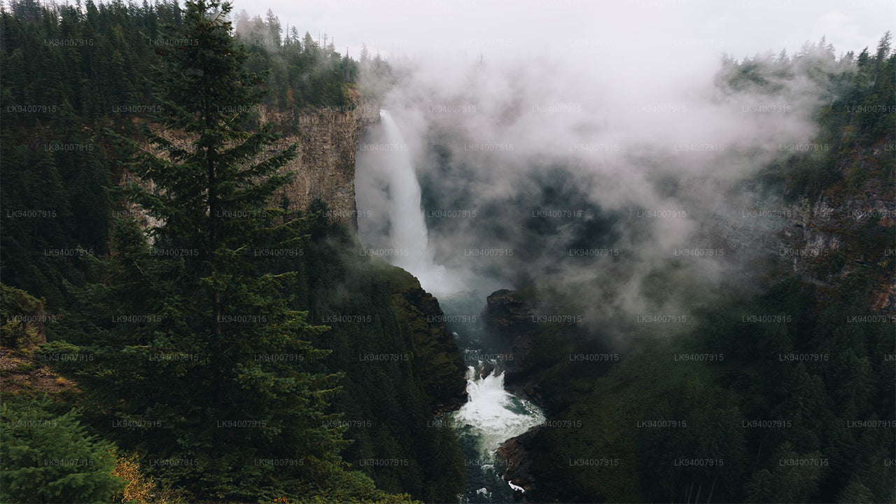
Nuwara Eliya DistrictOften called "Little England," Nuwara Eliya is renowned for its cool climate, tea plantations, and colonial architecture.
-
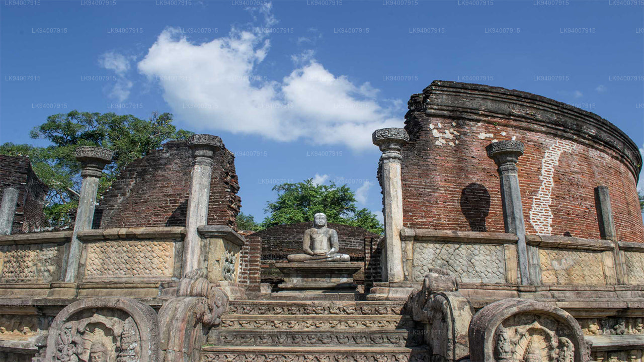
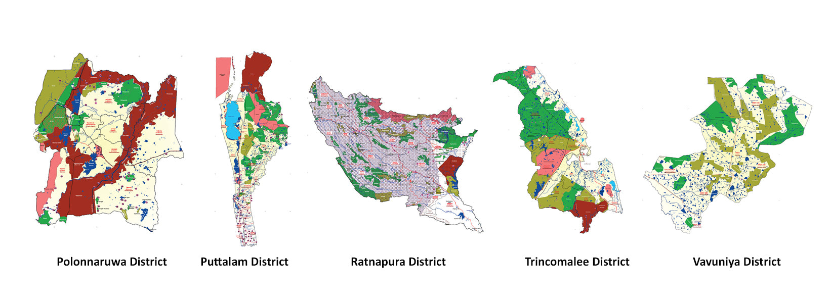
Polonnaruwa DistrictPolonnaruwa is a treasure trove of ancient ruins, including the famous Gal Vihara, and a key archaeological site.
-
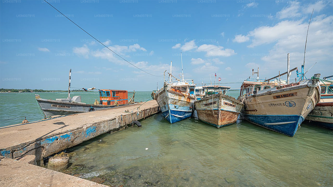
Puttalam DistrictPuttalam is known for its coastal lagoons, wildlife sanctuaries, and salt production, along with a growing wind energy sector.
-
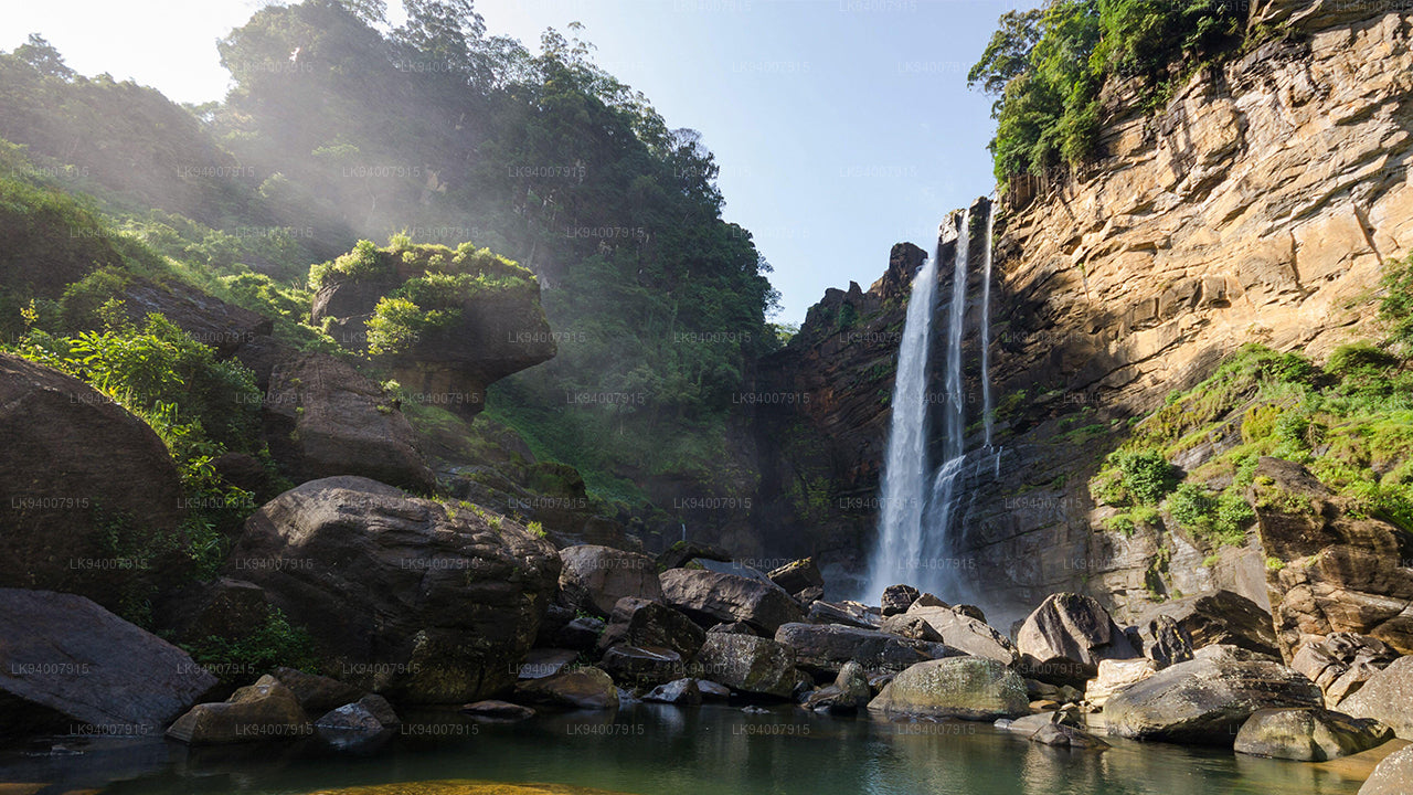
Ratnapura DistrictThe "City of Gems," Ratnapura is famous for its gem mining and lush green landscapes filled with waterfalls and tea estates.
-
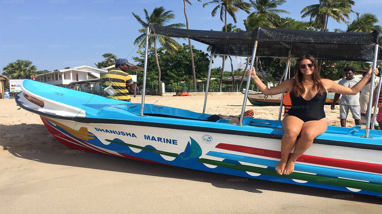
Trincomalee DistrictA coastal gem, Trincomalee is home to beautiful beaches, historic Hindu temples, and one of the world’s finest natural harbors.
-
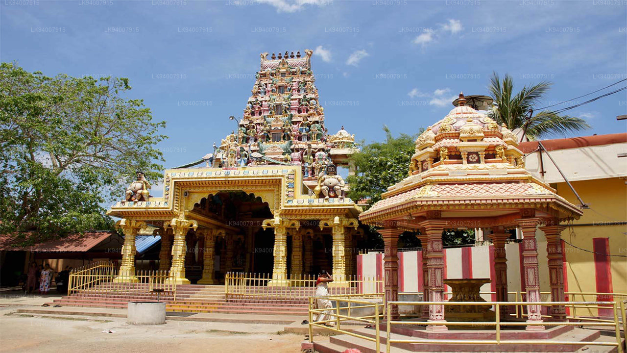
Vavuniya DistrictA key transit hub between the north and south, Vavuniya is known for its agriculture and growing urbanization.