
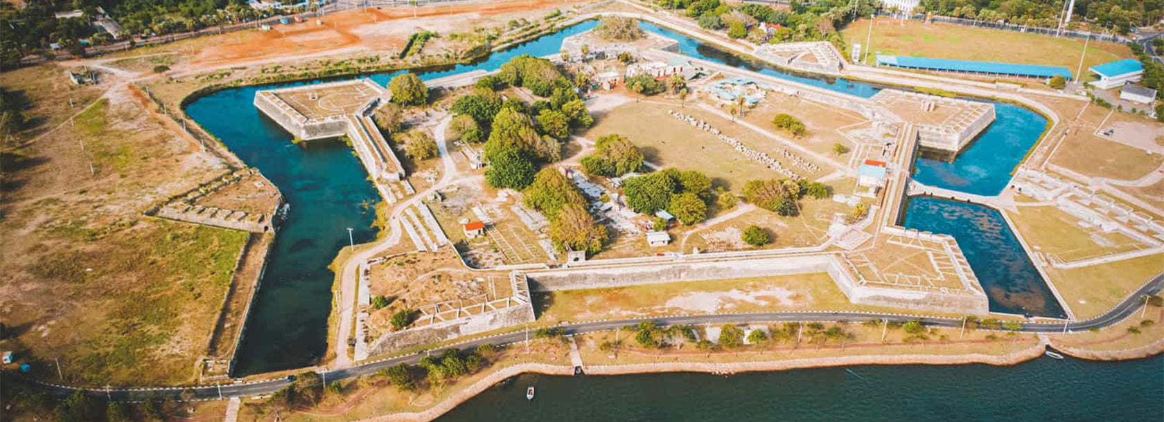
Old Kallady Bridge


The Old Kallady Bridge, located in the Batticaloa District of Sri Lanka's Eastern Province, is one of the region's most historically significant and scenic landmarks. Built during the British colonial period, the bridge served as the main link between Batticaloa town and the Kallady area for decades. Stretching across the scenic Batticaloa Lagoon, the Old Kallady Bridge became famous not only for its heritage value but also for the mystical natural phenomenon known as the "singing fish," where musical tones can be heard resonating beneath the bridge during certain nights.
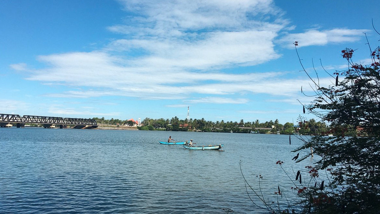
The surroundings of the Old Kallady Bridge are rich in biodiversity, with mangroves, coconut palms, and lagoon waters supporting birds and marine life. The calm waters beneath the bridge provide feeding grounds for fish and are an important ecosystem for the fishing communities who depend on the lagoon. The bridge offers panoramic views of the Batticaloa Lagoon, showcasing the natural harmony between Sri Lanka's wetland landscapes and coastal environments.
Visitors to the Old Kallady Bridge can enjoy a peaceful walk along the lagoon front or watch traditional fishermen casting their nets at sunrise and sunset. The site is popular among photographers who come to capture the gentle reflection of the bridge on the water and the daily life around it. Nearby, the modern new Kallady Bridge runs parallel, while the old bridge remains a beloved landmark for its cultural and emotional significance to the local community.
The best time to visit the Old Kallady Bridge is from April to September, during the dry season, when the lagoon is still and the views are at their best. The bridge is easily accessible from Batticaloa town and can be combined with attractions such as Batticaloa Lagoon, Pasikuda Beach, and the Batticaloa Dutch Fort. Visitors exploring Sri Lanka's East Coast will find this bridge to be a memorable stop, offering tranquility, history, and a connection to the region's unique cultural identity.


