
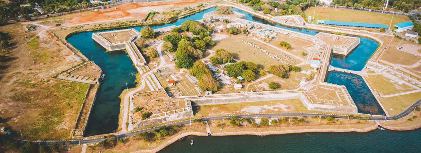
Batticaloa Dutch Fort


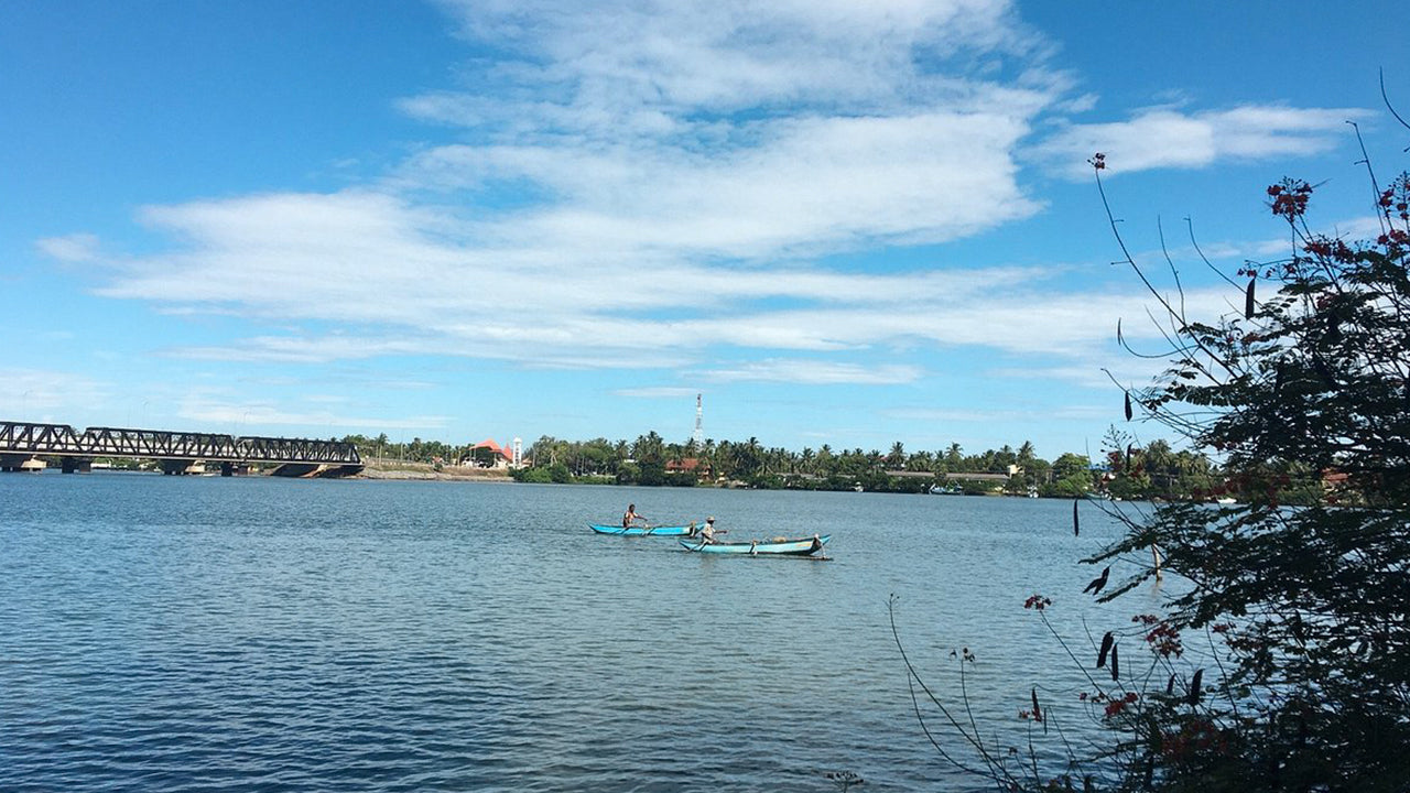
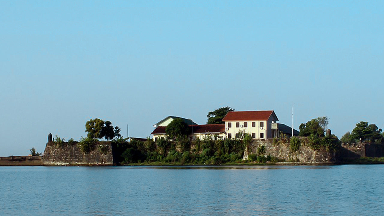
Originally a Portuguese settlement, the Fort of Batticaloa was first constructed in 1628 as a trading and administrative center. Set upon a small island, the fort protrudes into a swampy lagoon, surveying the brackish waters protected by the city’s outer banks. The Dutch had arrived in 1602, drawn to the prospects of trade and the abundance of pepper and cinnamon grown by the local community. However, it was not until King Rajasinghe in Kandy urged Dutch intervention that the European colonial power took action, capturing the fort in 1638 and establishing sovereignty in the region. Bordered by a moat on two sides and the lagoon on the others, the stone fort remained in Dutch hands for nearly two centuries before the British entered the country
in the late 18th century and took control of the Dutch fortifications. The site has significant religious implications dating back to the 1st century B.C., evidenced by a Buddhist stupa and shatra from the Ruhuna Kingdom that remains in the area. Sea erosion, insufficient funding, encroaching development, and the tsunami of 2004 have all conspired to damage the structure and its surrounding fortifications. Further, ethnic violence that has rocked the island for much of the last 30 years has prevented conservation efforts while dividing communities and threatening security in the area. However, plans to open the fort for public use can help unite the community and have the potential to further promote the fort as a religious and historic symbol.


