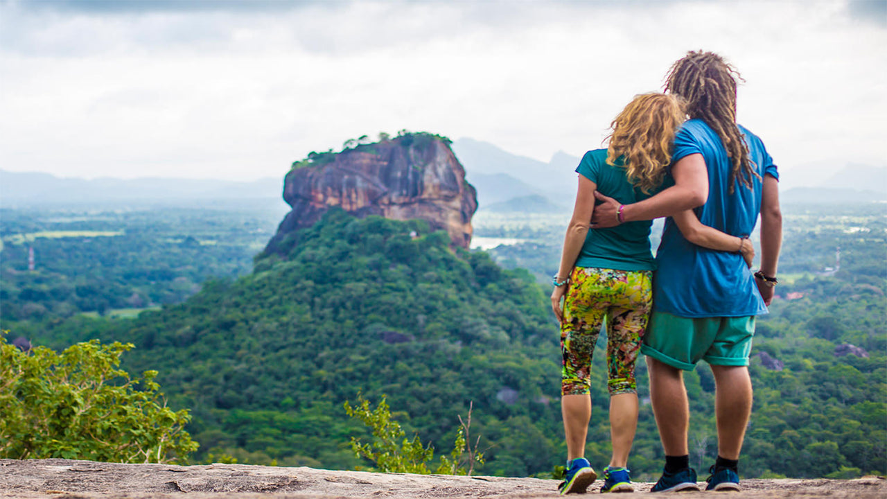
Narangala


Narangala est une belle colline qui s'élève à plus de 1500 mètres dans la province d'Uva, au Sri Lanka. Le sommet de cette deuxième montagne la plus haute de la province d'Uva offre certaines des meilleures vues de toute l'île tropicale. De plus, le défi raisonnable que représente l'escalade de ce sommet en fait un lieu très apprécié des randonneurs.
Point de randonnée : Sommet de Narangala
Altitude : 1527 m
Difficulté : Moyenne
Ce qu'il faut porter : Chaussures de randonnée avec une bonne adhérence, vêtements chauds
Ce qu'il faut emporter : Bouteille d'eau, barres énergétiques, répulsif anti-insectes
Description du trajet :
Le sentier de randonnée commence dans la région de la plantation de Thangamalai. Le nom signifie littéralement "Montagne Dorée" en tamoul, et il provient des herbes dorées qui couvrent les pentes de Narangala. L'une des caractéristiques les plus remarquables de Narangala est son sommet rectangulaire net, ce qui en fait un spectacle attrayant même de loin.
Les randonneurs doivent garer leur véhicule près du temple hindou dans la plantation. Si vous n'avez pas de guide, certains des habitants seront heureux de vous aider à trouver votre chemin. Vous devrez suivre des petits sentiers dans la plantation de thé jusqu'à ce que vous trouviez un grand tuyau qui alimente la plantation en eau. Ensuite, vous suivrez le tuyau jusqu'à ce qu'il atteigne une route traversant la plantation. Vous aurez de nombreuses belles vues sur les pentes couvertes de théiers d'un vert éclatant, que vous pourrez photographier. Après avoir suivi la route de la plantation pendant un certain temps, vous atteindrez le point de départ de l'ascension.
La première partie de l'ascension se fera à travers un bosquet de pins. Les feuilles tombées de ces arbres sont très glissantes, ce qui rend la marche assez difficile, surtout sur le sol en pente. Toutefois, la randonnée à travers les herbes dorées des pentes de Narangala est idyllique,
ce qui compense les difficultés pour y parvenir. Il est possible de voir quelques animaux sauvages et leurs traces, alors marchez prudemment sans les déranger. Vous traverserez quatre des sommets les plus bas de Narangala, chacun offrant une vue magnifique, avant d'atteindre le sommet.
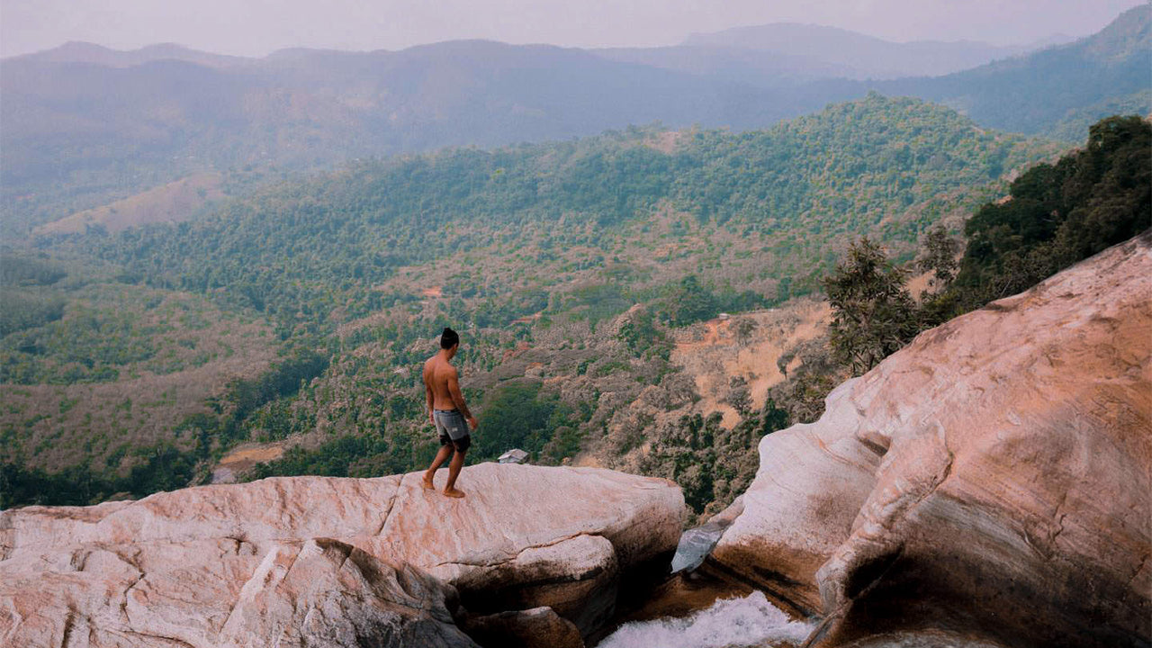
La vue qui se déploie devant vous sera à couper le souffle. Vous pourrez voir entre les vallées des rivières Uma Oya, Badulu Oya et Loggal Oya, tout en ayant une vue aérienne des plaines inondables de Mahaweli qui s'étendent jusqu'à Trincomalee. Vous pourrez également apercevoir les montagnes éloignées de Kehelpathdoruwa et Yahanagala, les chaînes de montagnes de Nayabedda, Madulsima et Poonagala, le passage d'Idalgasinna et la vallée de Haputale. Les pentes de Randenigala et les étendues vertes de Horton Plains sont également visibles. Le géant de la chaîne de montagnes Namunakula est beaucoup plus proche, avec de nombreux autres lieux à observer et identifier. Ces magnifiques paysages s'étendent depuis le sommet dans un panorama coloré, digne d'un tableau.
Le sommet lui-même dispose d'une zone plane où vous pouvez vous reposer et vous rafraîchir avant de redescendre. Mais assurez-vous de ne pas laisser de déchets derrière vous. L'ensemble de la randonnée prendra entre six et huit heures, selon votre expérience et votre rythme.

Lieux particuliers à Badulla
-
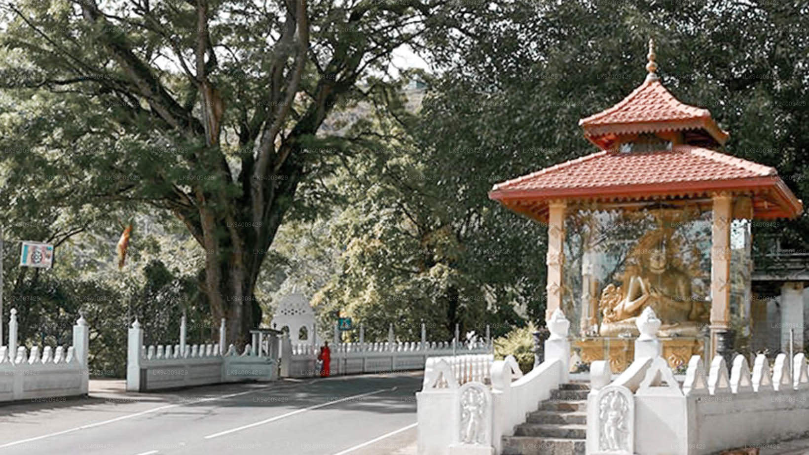
 Muthiyangana Raja Maha Vihara
Le temple Muthiyanganaya Raja Maha Viharaya se situe au cœur de la ville de Badulla. Son histoire remonte à l'époque du Bouddha, mais la région de Badulla est mentionnée dans des écrits datant du XIXe-XVIIIe siècle avant notre ère.
-
 Dowa Raja Maha Viharaya
Le temple Dowa Raja Maha Viharaya (temple du cap Dowa) se situe à quelques kilomètres de la ville de Bandarawela, sur la route Bandarawela-Badulla. On pense qu'il a été construit par le roi Walagamba au Ier siècle avant J.-C.
-
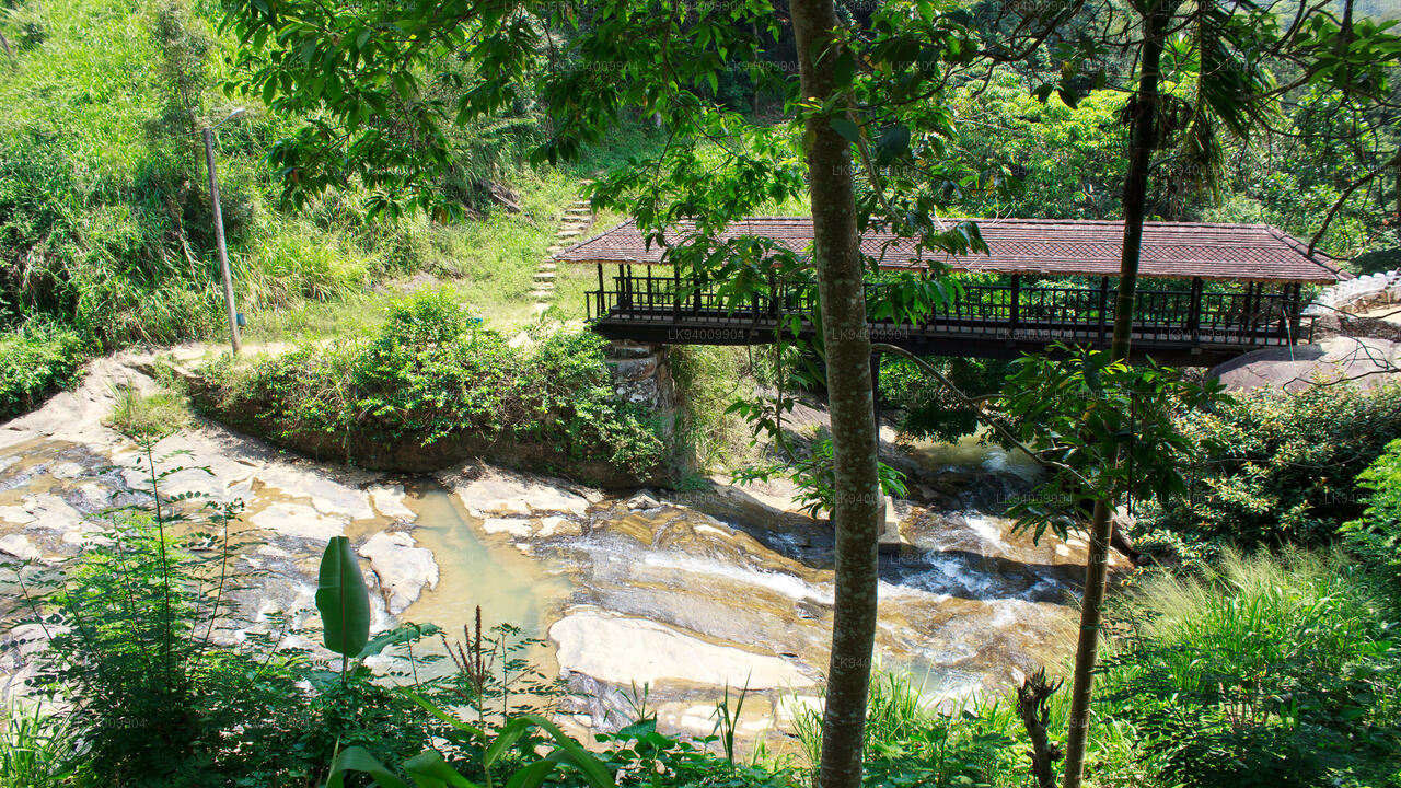 Pont en bois de Bogoda
Le pont en bois de Bogoda a été construit au XVIe siècle, sous le règne de Dambadeniya. Il s'agirait du plus ancien pont en bois encore existant au Sri Lanka. Il est situé à 7 kilomètres (4,3 mi) à l'ouest de Badulla.
-
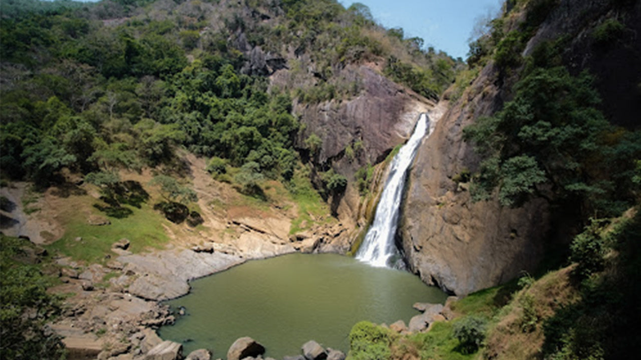 Chutes de Dunhinda
Les chutes de Dunhinda se situent à environ 5 km de la ville de Badulla. Hautes de 63 mètres, elles sont considérées comme l'une des plus belles cascades du Sri Lanka. Elles doivent leur nom à la brume de rosée qui s'en dégage.