Handun Ella
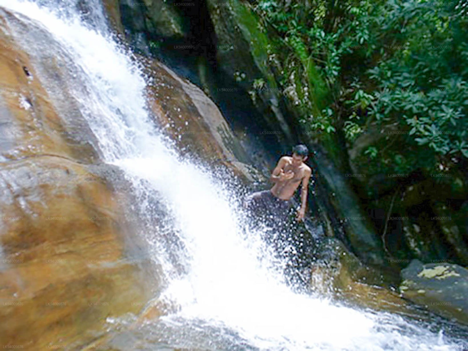
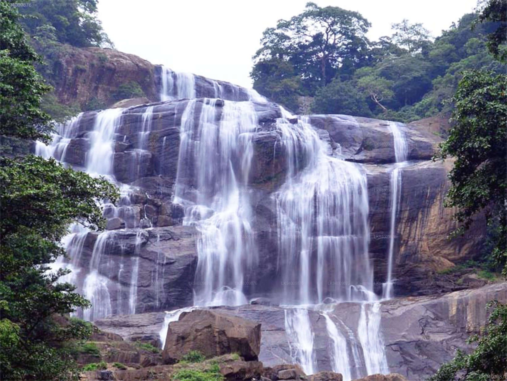
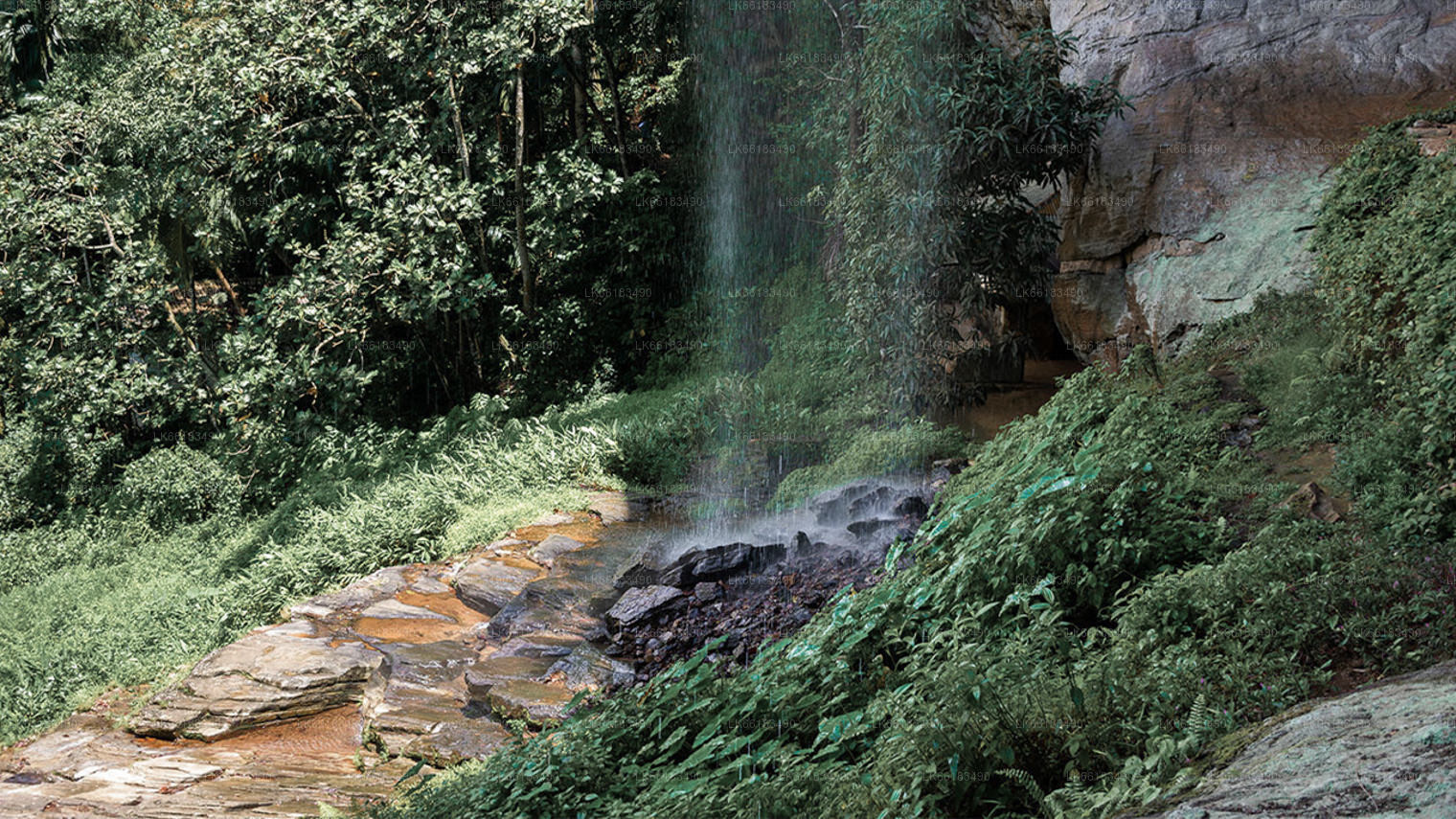
Handun Ella is an attractive little waterfall near the region of Kithulgala. It’s buried deep within the jungle and is quite difficult to reach. The waterfall gains its name from sandalwood (Handun) trees that were in the region many centuries ago.
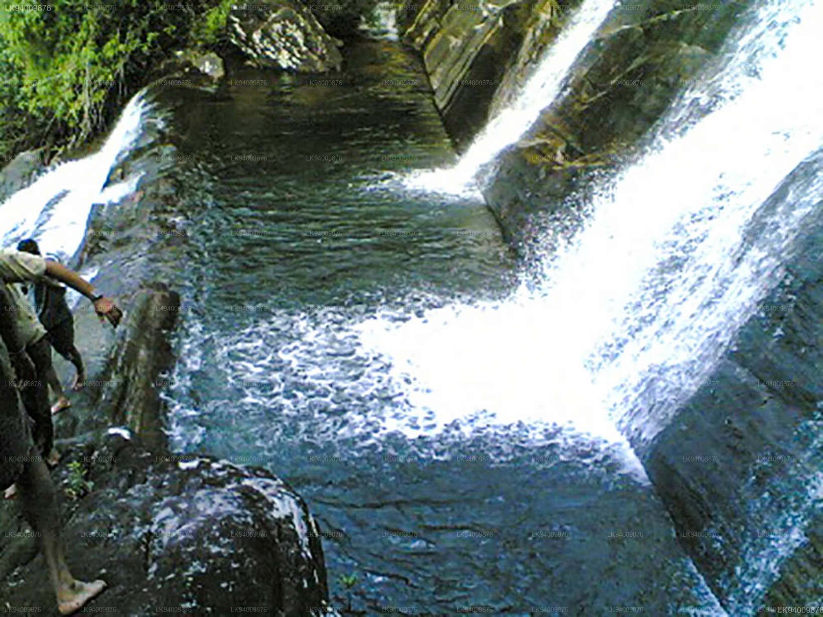
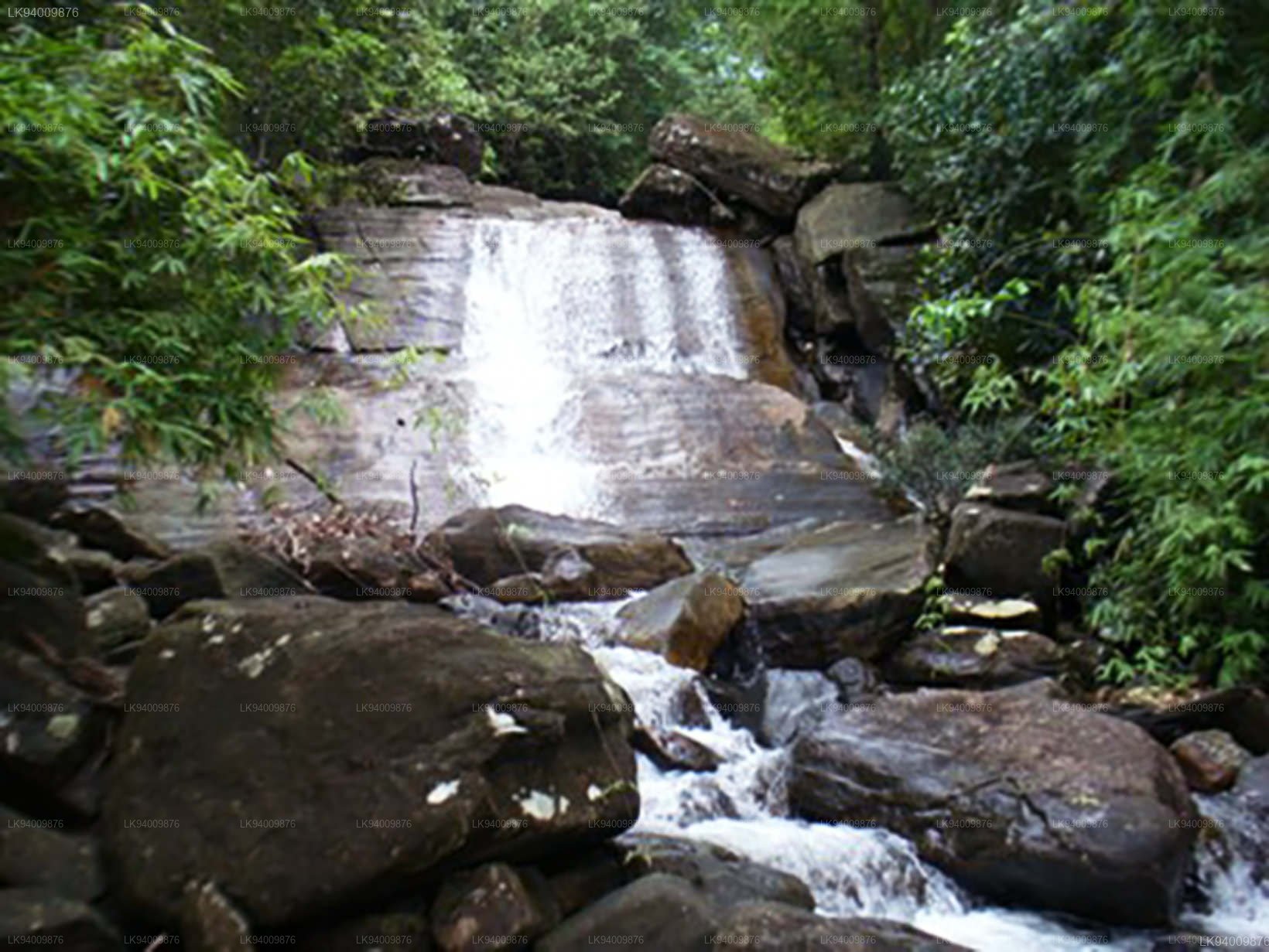
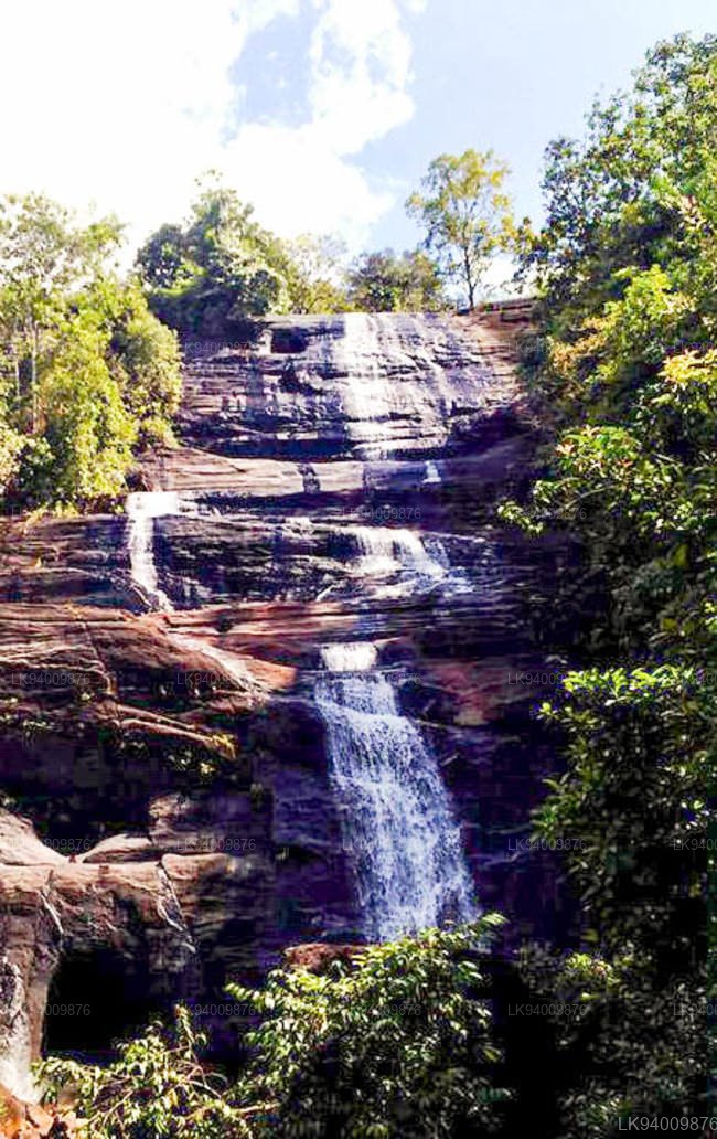
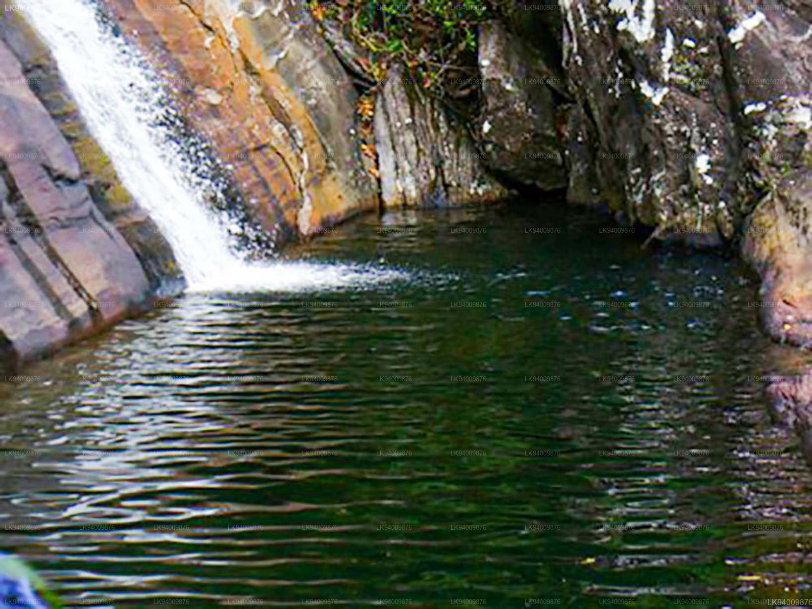
Handun Ella is over 30m (100 ft) tall and flows down a sharply sloping rock face. About halfway up the rock face is a ledge on which is a large natural plunge pool which collects the water from the falls. It’s possible that the pool was formed many centuries ago when the river had more force; and the water crashed harshly on the ledge wearing the bedrock away into a deep hollow. Nowadays; the flow of the water is comparatively mild; and it is the overflow from the plunge pool that cascades down the lower part of the rock face, forming the lower half of the falls.
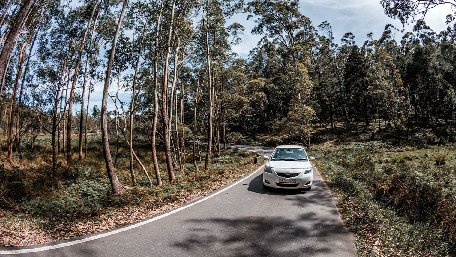
How to get there:
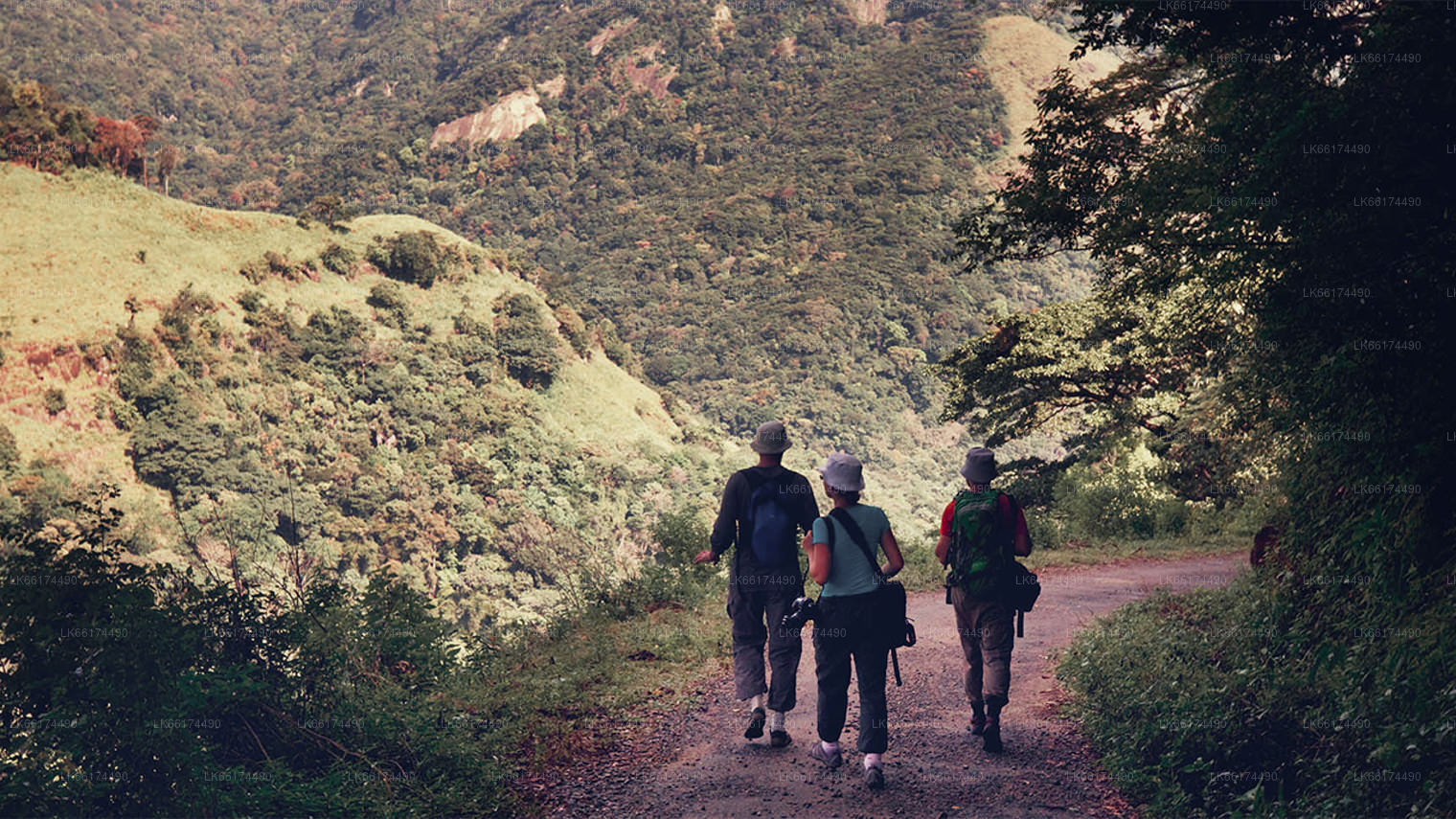
Getting to Handun Ella is not easy, but the hike is well worth it when you get there. It is also necessary to take a good guide as it is easy to get turned around here. You will have to start from Kithulgala. About a kilometer from the Ginikiritha Reservoir Bridge you will find a little footpath. You will have to follow the path through harsh terrain for about 2km. It’s also chock full of leeches; so take salt and water and also wear clothes that are not easily penetrable by these bloodsuckers.
There is also another option to avoid most of the leeches. You could walk upstream through the runoff up till a certain point; and then at a smaller waterfall you can start following the trail. Once you get to Handun Ella, there are some caves and hollows in the rock face that you can explore. Since the force is not high; you can also swim at the base.
Handun Ella is a quite a wild and unpolluted location, due to its being lesser known and difficult to reach.