
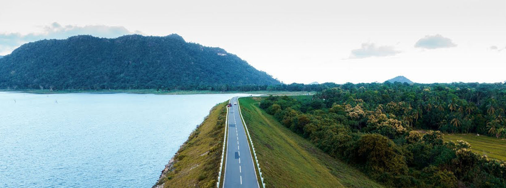
Rambakan Oya Ruins


Rambakan Oya Ruins are located in the Ampara District of Sri Lanka's Eastern Province, near the modern Rambakan Oya Reservoir. These ruins feature remnants of an ancient granite canal system, believed to date back to the 3rd century BCE. The canal was constructed using massive interlocking granite slabs, showcasing advanced engineering techniques of the time.
The canal system includes a twin-channel design, with each channel measuring approximately 366 feet in length. The precision in the alignment and interlocking of the granite slabs indicates a high level of craftsmanship. Nearby, a stone slab inscription from the 12th–13th centuries credits the construction to individuals named Liyana Nayakayan and Kanathkan Vahanse, who resided in the Gal Weta area.
In addition to the canal, the site contains remnants of an ancient earthen dam, known as Maha Watala Kandiya, which was constructed to connect the Gorikanda and Galkanda hills. This dam, along with the canal, was part of an extensive irrigation system intended to support agriculture in the region. However, evidence suggests that the construction was never fully completed.
Today, the Rambakan Oya Ruins are recognized as an archaeological protected monument, reflecting their historical and cultural significance. The site offers visitors a glimpse into the ingenuity of ancient Sri Lankan irrigation practices and stands as a testament to the island's rich engineering heritage.


