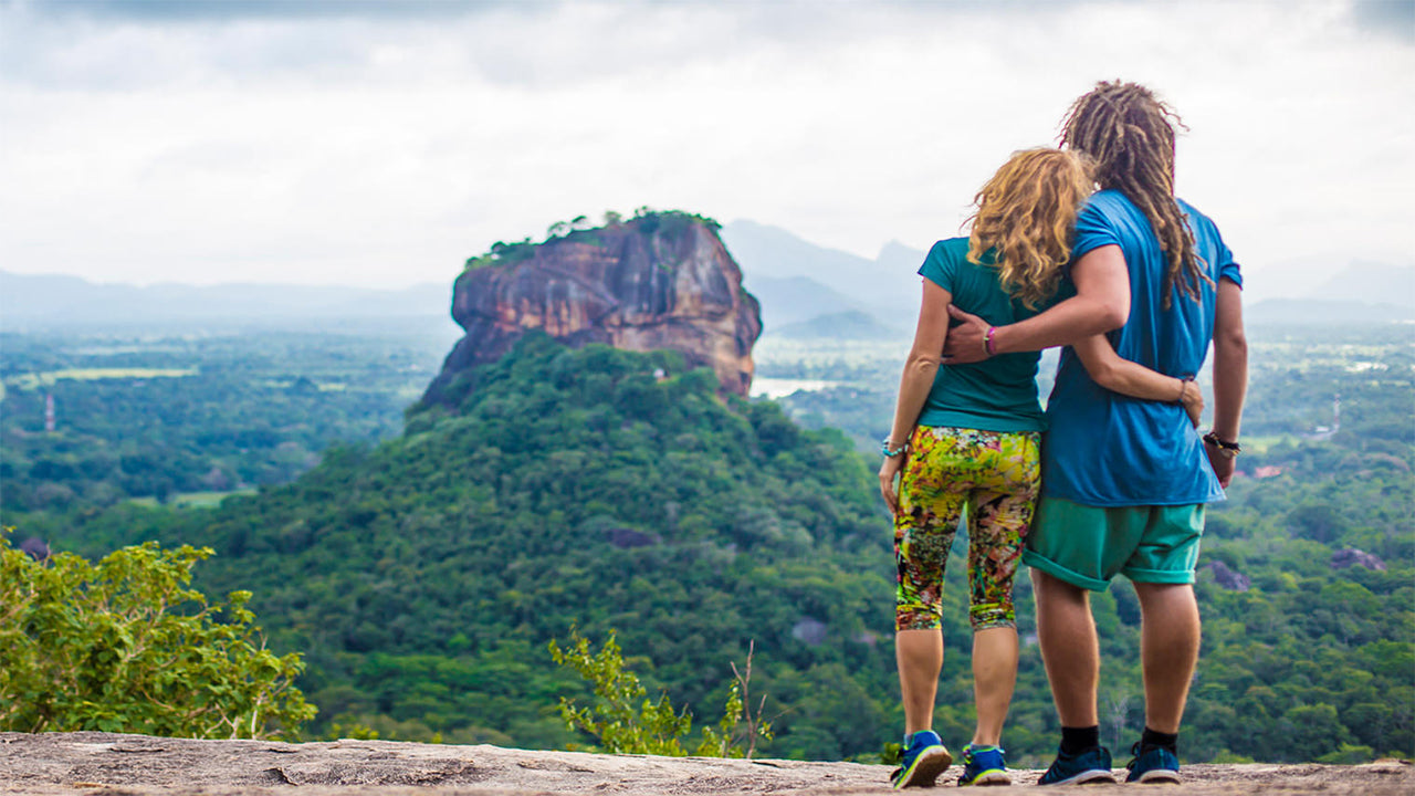
Narangala


Narangala er en smuk bakke, der stiger op til en højde på over 1500 meter i Uva-provinsen i Sri Lanka. Toppen af denne næst højeste bjerg i Uva giver nogle af de bedste udsigter på hele den tropiske ø. Derudover har den rimelige udfordring, som bestigningen tilbyder, gjort den meget populær blandt vandrere.
Vandrested: Narangala Peak
Højde: 1527 m
Sværhedsgrad: Mellem
Hvad du skal have på: Vandrestøvler med godt greb, varmt tøj
Hvad du skal tage med: Vandflaske, energibarer, insektmiddel
Rute Beskrivelse:
Vandrestien starter i Thangamalai Estate området. Navnet betyder bogstaveligt talt 'Gyldent Bjerg' på tamil, og det stammer fra de gyldne græsser, der dækker Narangalas skråninger. En af de mest markante træk ved Narangala er dens skarpt rektangulære top, hvilket gør den til et meget attraktivt syn, selv på afstand.
Vandrere bør stoppe deres biler ved den hinduistiske tempel på plantagen. Hvis du ikke har en guide med dig, vil nogle af de lokale gerne hjælpe med at finde vej. Du skal gå langs små stier på teplantagen, indtil du finder en stor rørledning, der fører vand til plantagen. Derefter følger du røret, indtil du når en vej, der går gennem plantagen. Der vil være mange smukke udsigter af skråninger dækket af de lysegrønne teplanter, som du kan tage billeder af. Efter at have fulgt plantagevejen i et stykke tid, vil du nå punktet, hvor du begynder at klatre op ad bjerget.
Den første del af opstigningen vil være gennem en plantage af terpentintræer. Bladene, der falder fra disse træer, er meget glatte, hvilket gør det svært at gå, især på den skrå jord. Ikke desto mindre er vandringen gennem de gyldne græsser på Narangalas skråninger idyllisk,
hvilket gør op for vanskelighederne med at komme dertil. Du vil kunne se nogle vilde dyr og deres spor, så vær opmærksom på ikke at forstyrre dem. Du vil krydse fire af Narangalas lavere toppe, hver med fremragende udsigt, før du når toppen.
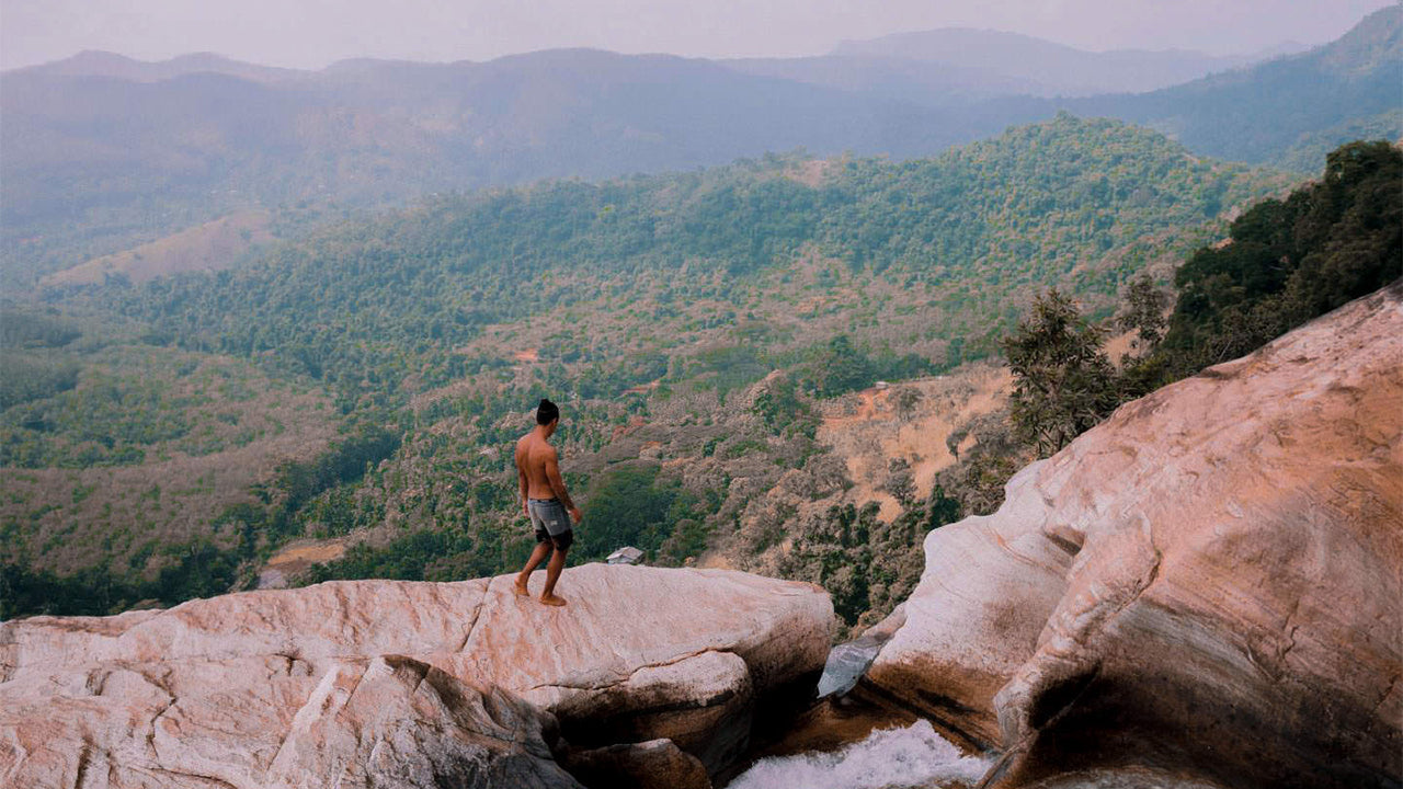
Udsigten, der åbner sig foran dig, vil være betagende. Du vil kunne se mellem dalene af floderne Uma Oya, Badulu Oya og Loggal Oya, og få en fugleperspektiv af Mahaweli-sletten, der strækker sig hele vejen op til Trincomalee. Du vil også se de fjerntliggende Kehelpathdoruwa og Yahanagala bjerge, Nayabedda, Madulsima og Poonagala bjergkæder, Idalgasinna Gap og Haputale Gap. De grønne skråninger af Randenigala og den rullende grønne Horton Plains. Den store Namunakula-bjergkæde ligger meget tættere, med mange andre steder at se og identificere. Disse smukke landskaber strækker sig fra toppen i et farverigt panorama, der kun ses på malerier.
Selve toppen har et fladt område, hvor du kan hvile og få fornyet energi, før du begynder nedstigningen. Men sørg for, at du ikke efterlader affald. Hele turen vil tage mellem seks og otte timer afhængigt af din erfaring og tempo.

Særlige steder i Badulla
-
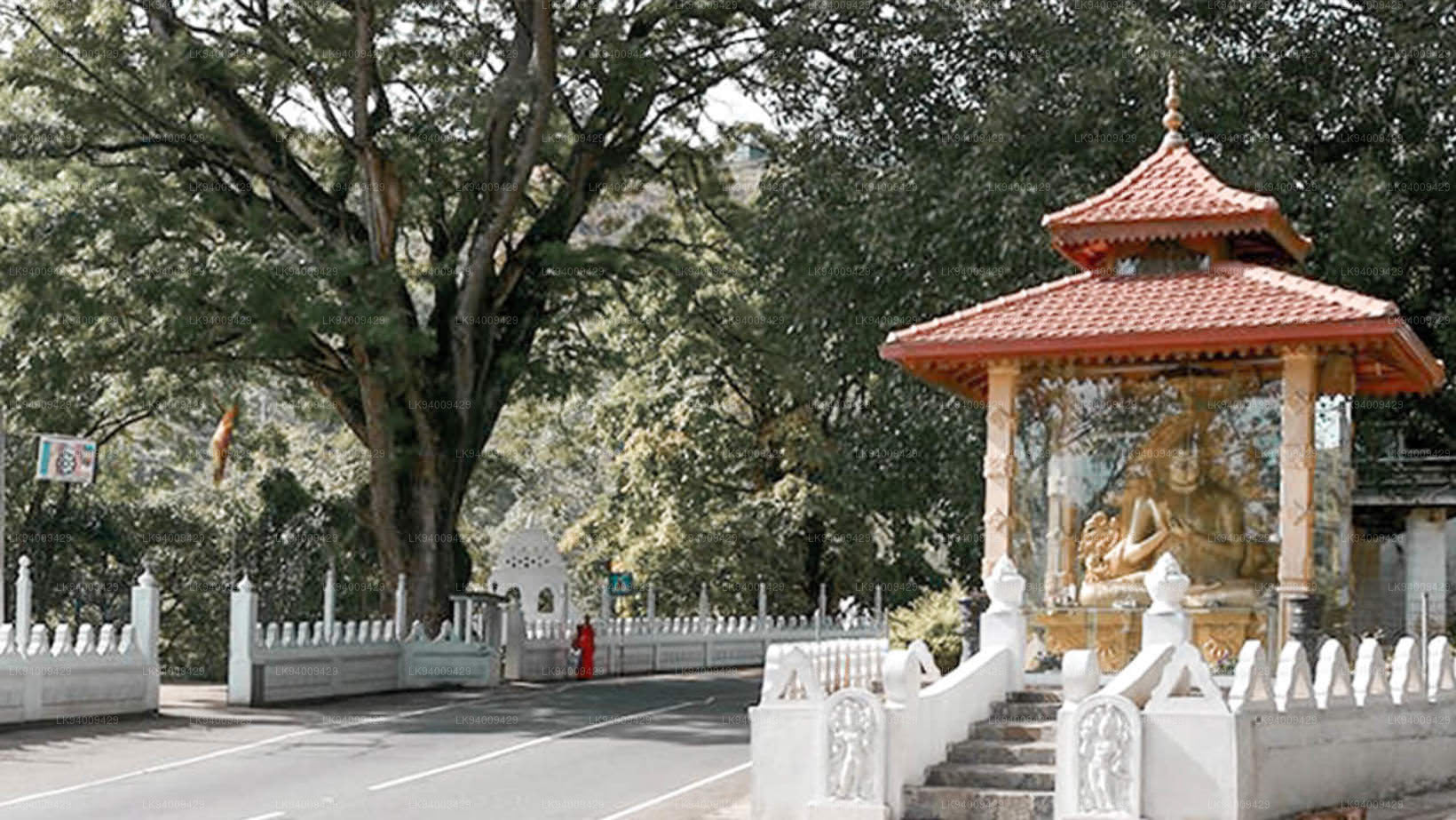
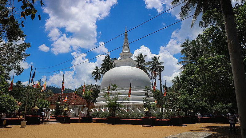 Muthiyangana Raja Maha Viharaya
Muthiyanganaya Raja Maha Viharaya ligger i centrum af byen Badulla. Tempelets historie går tilbage til Buddhas tid, men området omkring Badulla går helt tilbage til tiden i det 19.-18. århundrede f.Kr.
-
 Dowa Raja Maha Viharaya
Dowa Raja Maha Viharaya (Dowa Cape-templet) ligger få kilometer fra byen Bandarawela på vejen mellem Bandarawela og Badulla. Dette tempel menes at være bygget af kong Walagamba i det første århundrede f.Kr.
-
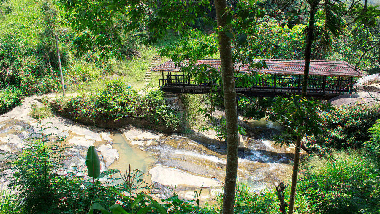 Bogoda træbro
Bogoda-træbroen blev bygget i det 16. århundrede under Dambadeniya-æraen. Det siges at være den ældste overlevende træbro i Sri Lanka. Broen ligger 7 kilometer vest for Badulla.
-
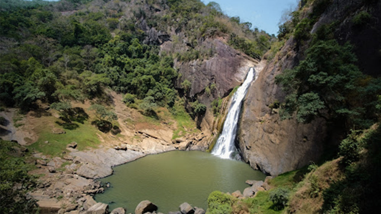 Dunhinda Falls
Dunhinda Falls ligger omkring 5 km fra byen Badulla. Det er 63 meter højt og betragtes som et af de smukkeste vandfald i Sri Lanka. Vandfaldet har fået sit navn fra de røgfyldte dugdråber, der sprøjter.