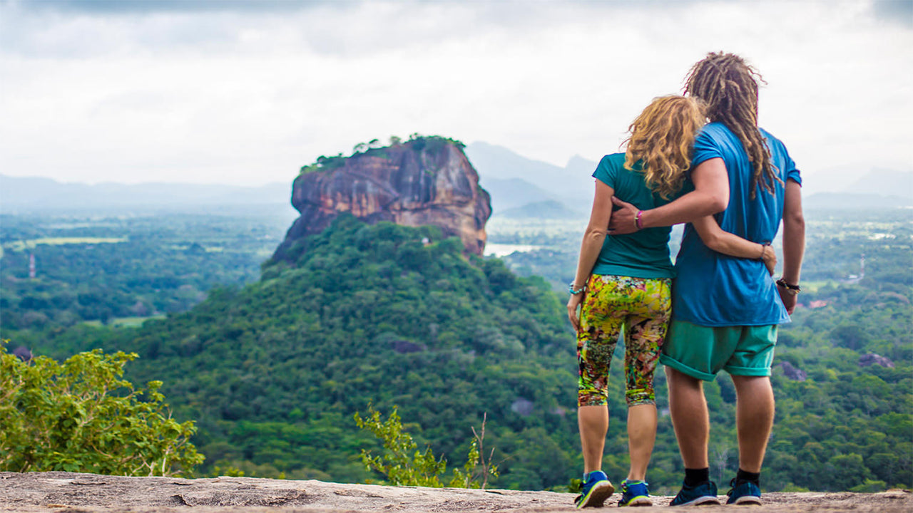
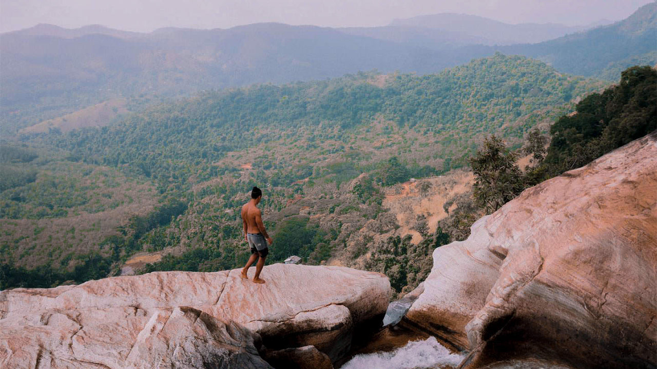
Narangala


Narangala je krásná hora, která se nachází v provincii Uva na Srí Lance a dosahuje výšky více než 1500 metrů. Vrchol tohoto druhého nejvyššího vrcholu v oblasti Uva nabízí některé z nejlepších výhledů na celém tropickém ostrově. Kromě toho se díky přiměřené obtížnosti stoupání stala oblíbeným místem mezi turisty.
Hiking místo: Narangala Peak
Výška: 1527 m
Obtížnost: Střední
Co si vzít na sebe: Trekingové boty s dobrou přilnavostí, teplé oblečení
Co vzít s sebou: Láhev na vodu, energetické tyčinky, repelent proti hmyzu
Popis trasy:
Trasa začíná v oblasti plantáže Thangamalai. Název znamená doslovně „Zlatá hora“ v tamilštině a pochází od zlatých trav, které pokrývají svahy Narangaly. Jedním z nejvýraznějších rysů Narangaly je její ostrý čtvercový vrchol, který ji činí atraktivní i z dálky.
Turisté by měli zaparkovat svá vozidla u hinduistického chrámu na plantáži. Pokud nemáte průvodce, někteří místní vám rádi pomohou nasměrovat vás správným směrem. Budete muset jít po malých pěších stezkách na čajové plantáži, až najdete velkou trubku, která přivádí vodu na plantáž. Poté budete následovat tuto trubku, až dorazíte k silnici, která prochází plantáží. Po nějaké době chůze po silnici dorazíte k místu, odkud začnete výstup na horu.
První část výstupu povede skrz háj stromů terpentýnu. Listí z těchto stromů je velmi kluzké, což činí pohyb obtížným, zejména na strmém svahu. Přesto je výstup po žlutých zlatých trávách svahů Narangaly krásný,
což vyvažuje obtíže spojené s výstupem. Na cestě můžete občas zahlédnout divokou zvěř a jejich stopy, proto buďte opatrní a nezasahujte do jejich života. Přejdete čtyři nižší vrcholy Narangaly, každý s úžasným výhledem, než dosáhnete vrcholu.
Výhled, který se před vámi otevře, bude dechberoucí. Uvidíte mezi údolími řek Uma Oya, Badulu Oya a Loggal Oya a budete mít pohled na rozlehlé planiny Mahaweli, které sahají až k Trincomalee. Také uvidíte vzdálené hory Kehelpathdoruwa a Yahanagala, pohoří Nayabedda, Madulsima a Poonagala, mezeru Idalgasinna a Haputale a mnoho dalších míst, která můžete rozpoznat. Tyto krásné krajiny se před vámi rozprostírají v barevném panoramatu, jaké je možné vidět jen na malbách.
Samotný vrchol má plochou oblast, kde si můžete odpočinout a osvěžit se před sestupem. Nezapomeňte však po sobě nechat žádné odpadky. Celý výstup bude trvat mezi šesti až osmi hodinami v závislosti na vaší zkušenosti a tempu.

Zvláštní místa v Badulle
-
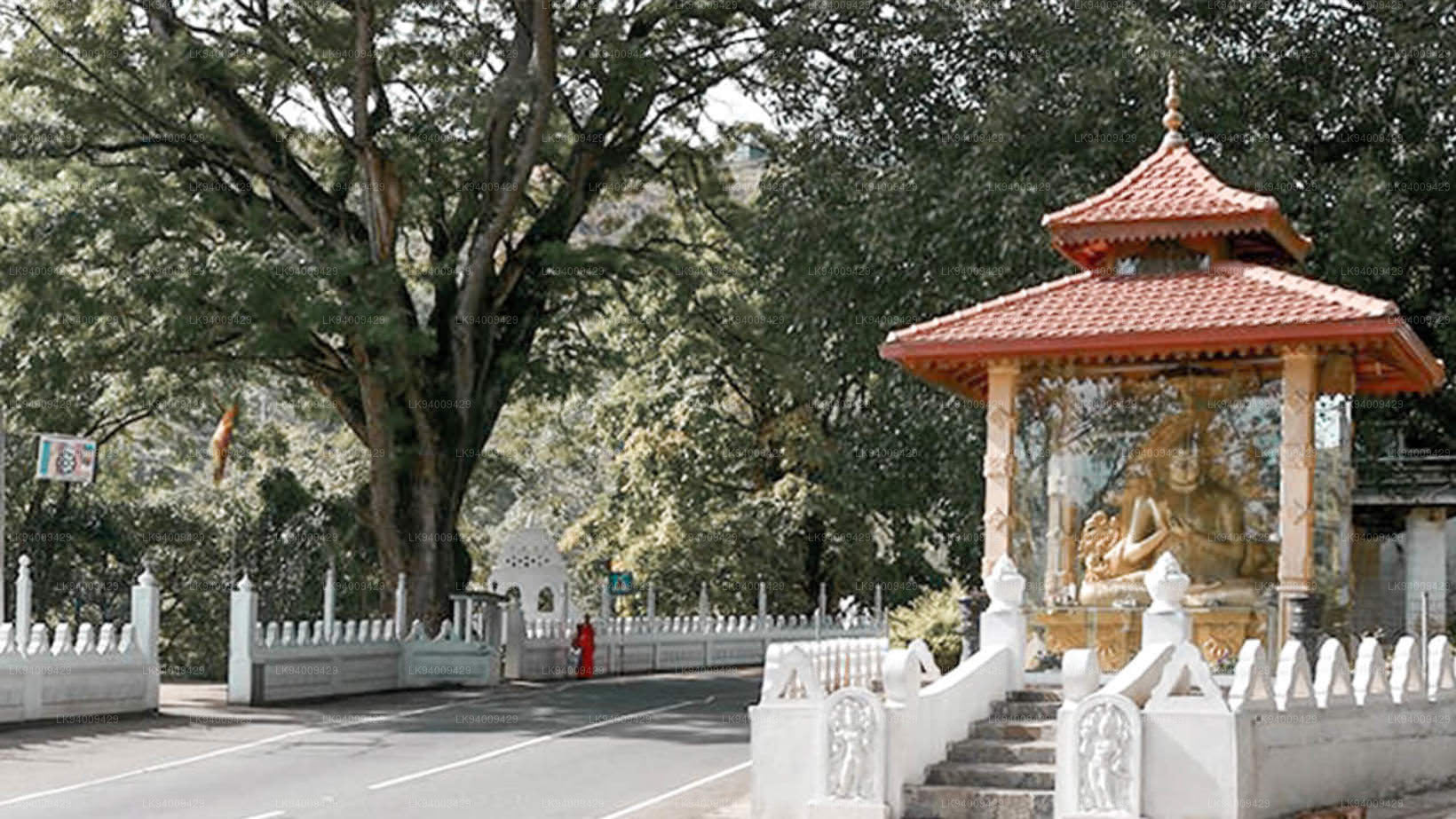
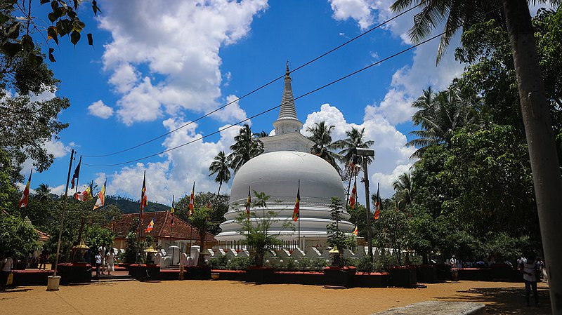 Muthiyangana Raja Maha Viharaya
Muthiyanganaya Raja Maha Viharaya leží v centru města Badulla. Historie tohoto chrámu sahá až do dob Buddhy, ale oblast kolem Badully sahá až do 19. až 18. století př. n. l.
-
 Dowa Raja Maha Viharaya
Dowa Raja Maha Viharaya (chrám Dowa Cape) leží několik kilometrů od města Bandarawela na silnici Bandarawela – Badulla. Předpokládá se, že tento chrám postavil král Walagamba v prvním století před naším letopočtem.
-
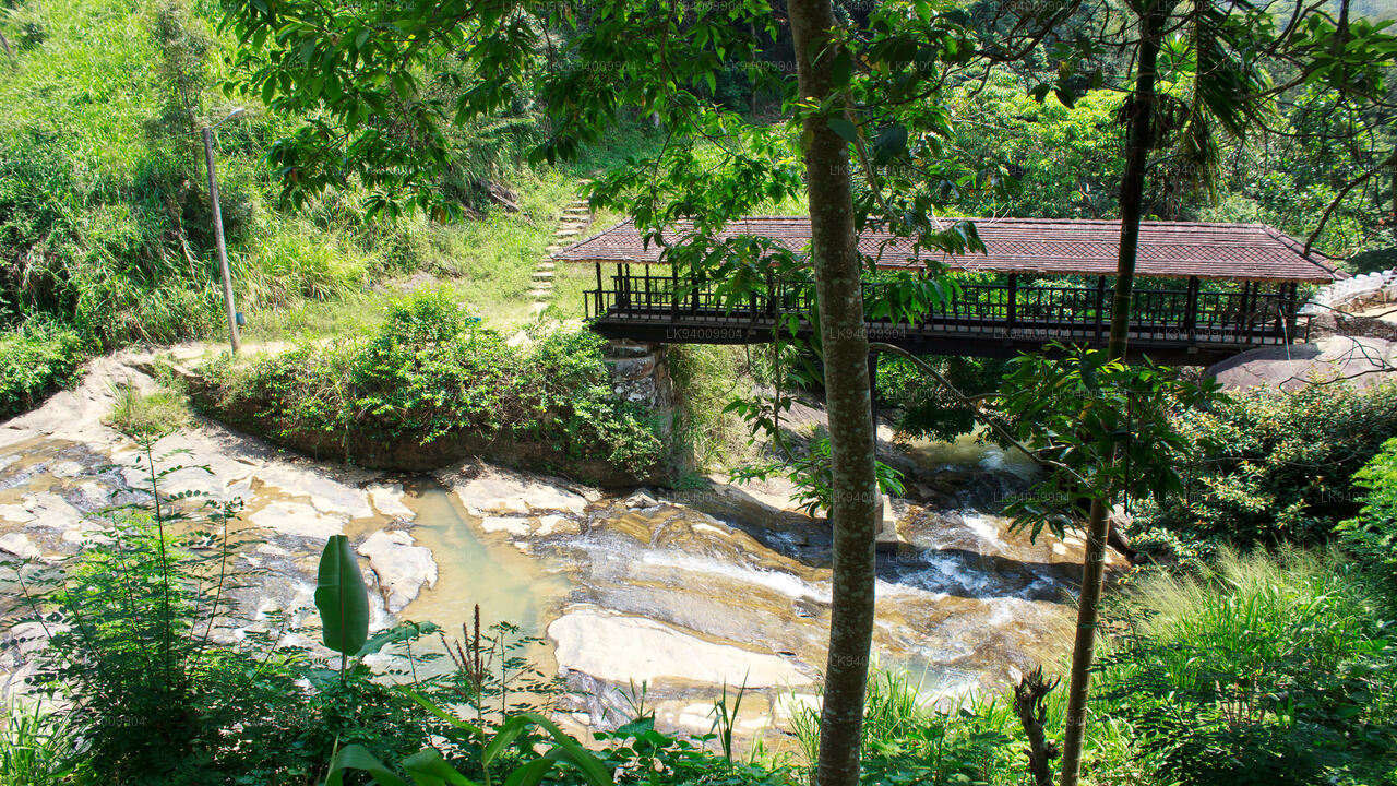 Bogoda dřevěný most
Dřevěný most Bogoda byl postaven v 16. století během éry Dambadeniya. Říká se, že je to nejstarší dochovaný dřevěný most na Srí Lance. Most se nachází 7 kilometrů západně od Badully.
-
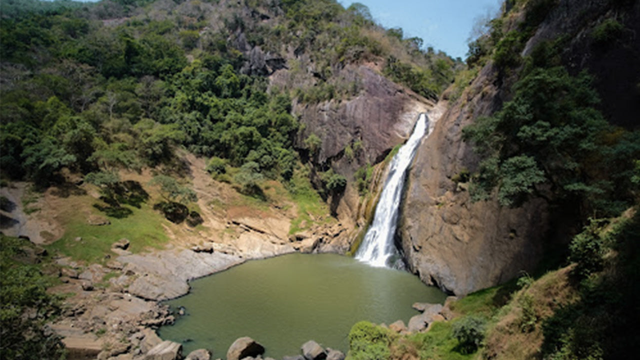 Vodopády Dunhinda
Vodopády Dunhinda se nacházejí asi 5 km od města Badulla. Jsou vysoké 63 metrů a jsou považovány za jeden z nejkrásnějších vodopádů na Srí Lance. Svůj název „rosa“ dostaly vodopády podle stříkajících kapek rosy.