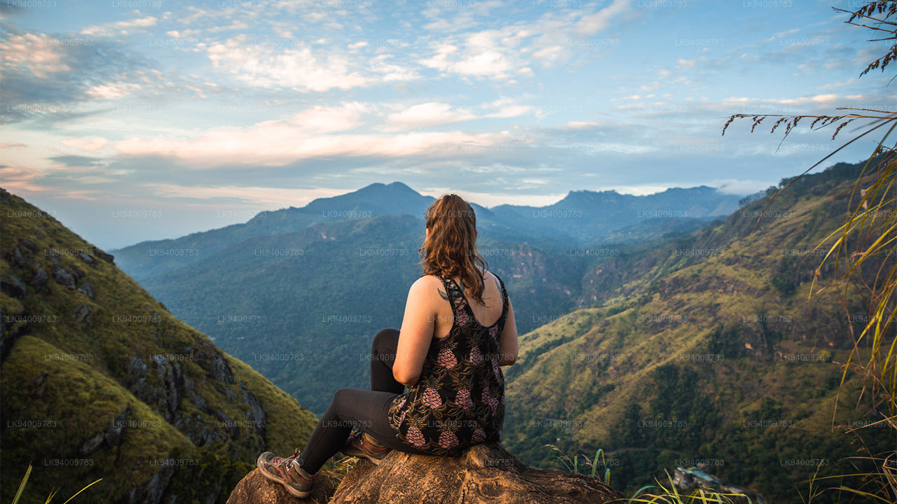
Ritigala Dağı


Ritigala, Sri Lanka merkezinde yer alan ve eski bir Budist manastıra ev sahipliği yapan bir dağdır. Manastırın kalıntıları ve kaya yazıtları MÖ 1. yüzyıla dayanmaktadır. Eski manastır kenti Anuradhapura'dan 43 km uzaklıktadır.
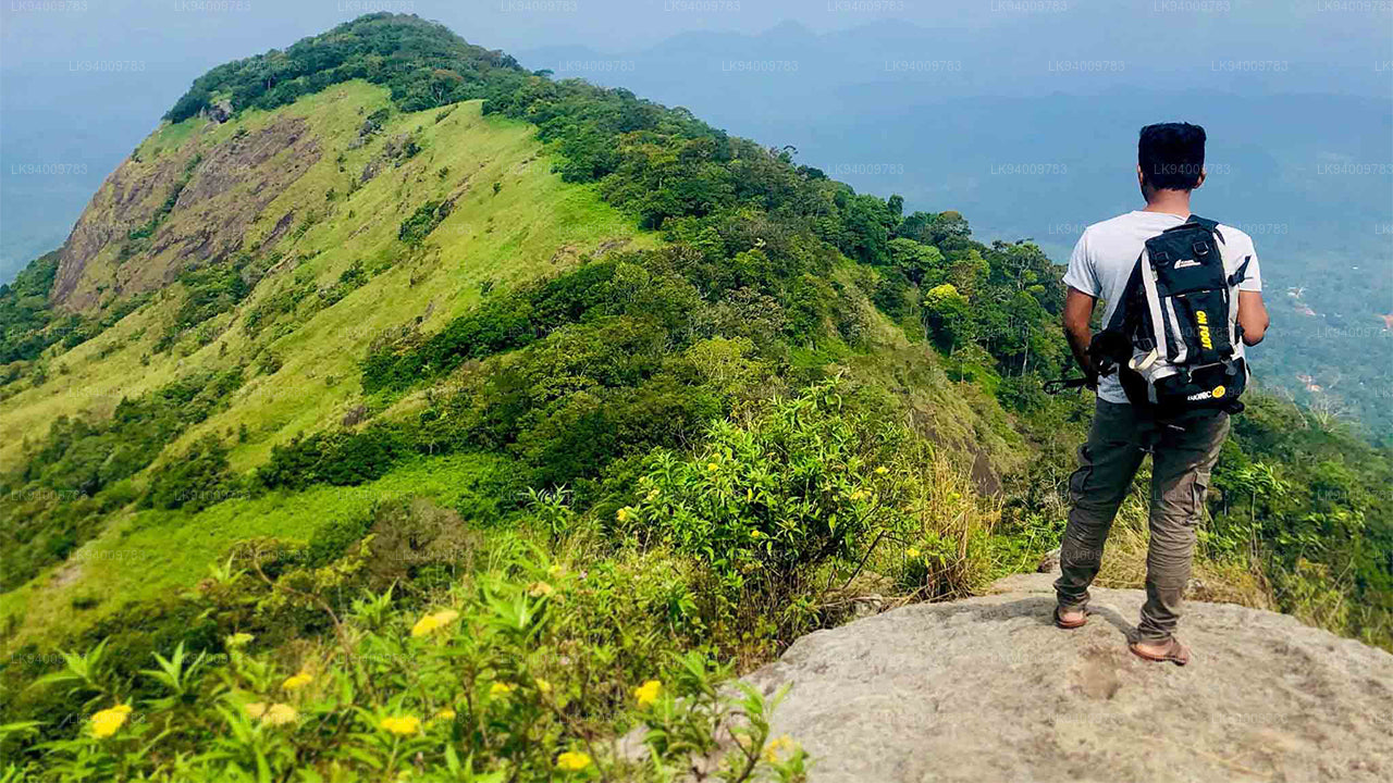
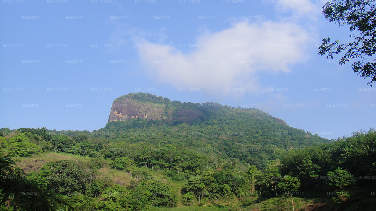
Ritigala Dağı, çevresindeki ova ile keskin bir şekilde yükselen dört zirveden oluşur. Dağın uzunluğu 6,5 km'dir ve Maha-Degala Kanyonu ile kuzey ve güney bloklarına ayrılır. En yüksek zirve, güney bloğunda yer alan Ritigala Kanda'dır.
Deniz seviyesinden 766 metre yükseklikte ve çevredeki ovalardan yaklaşık 600 metre daha yüksek olan Ritigala, Sri Lanka'nın kuzeyindeki en yüksek dağdır. Modern adı Ritigala, eski adı Arittha Pabbata'dan türetilmiştir ve bu da "Korkutucu Dağ" anlamına gelir; Mahavamsa'da geçmektedir.
Yüksekliği, kuzey merkezi düzlüklerindeki diğer ünlü turistik yerlerin, Sigiriya, Dambulla ve Mihintale gibi yerlerin yüksekliklerinden fazladır. Bu topografik özelliğin önemi, kütlelerin dikliğindeki ani eğim, ağaçlarla kaplı yamaçlar ve zirvede bulunan nemli mikroklimadır.
İklim
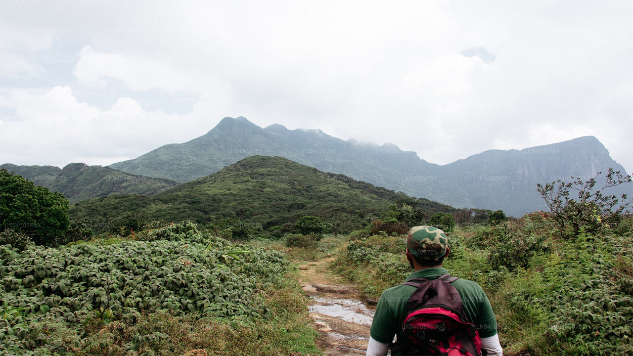
Dağlar, nem taşıyan rüzgarları engeller ve orografik yağış üretir, bu da dağların çevresindeki ova alanlardan daha nemli olmasına neden olur. Kuzeydoğu musonunun (Aralık - Şubat) sırasında, Ritigala, tüm kuru bölgede en fazla yağışı alır.
Ritigala'nın nemli mikroklimasi, kuzey merkezi düzlüklerdeki eski Sri Lanka bölgesinde, "yağmur suyu rezervuarlarının ülkesi" anlamına gelen Wewu Bandi Rata olarak bilinen bir bölgedeki benzersiz bir olaydır.
Tepe noktasındaki iklim, dağın eteklerindeki iklimle keskin bir şekilde zıttır. Etrafındaki bölgenin sıcak ve kuru iklimine kıyasla daha serindir. Güneybatı musonu sırasında sis ve bulut örtüsü, yüksek su buharı yoğunlaşmasına neden olur, bu da çevredeki ovalarda kuraklık olsa bile toprağın nemli kalmasını sağlar.
Ritigala Katı Doğa Koruma Alanı
Ritigala, 1.528 hektarlık bir alana yayılmış katı bir doğa koruma alanıdır. 7 Kasım 1941'de kurulmuş ve Sri Lanka'nın Vahşi Yaşam Koruma Departmanı ve Orman Departmanı tarafından yönetilmektedir.
Efsaneler
Ritigala ile birçok efsane bağlantılıdır. Bunlardan birisi, dağın zirvesine yakın güçlü tıbbi otlarla ilgili gizemli bir inançtır. Sansevi adlı bir bitkinin uzun ömür verebileceği ve insan hastalıklarını iyileştirebileceği söylenir. Efsaneye göre, Ritigala'daki tüm bitki örtüsü, dağın koruyucu ruhları olan Yakkalar tarafından korunur.
Saygın Profesör Walpola Sri Rahula Maha Thera, bir Budist keşişi ve tarih ve dinler profesörü, Yaksa teriminin saygıyı hak eden doğaüstü varlıkları ifade ettiğini belirtmiştir. Aynı zamanda, bu terim Sri Lanka'daki Budizm öncesi yerli halkları da ifade ediyor olabilir.
Bir diğer efsaneye göre, Prens Pandukhabaya, Ritigala eteklerinde sekiz amcasına karşı savaşırken Yakkalar tarafından yardım edilmiştir. Başka bir hikayede, Soma ve Jayasena adlı iki dev (muhtemelen Yakkalar) arasında bir düellodan bahsedilmektedir. Soma düelloda öldü, ancak Jayasena efsanevi bir figür haline geldi.
Hanuman ve Ritigala Efsanesi
Popüler inanca göre, Lord Hanuman bir zamanlar Ritigala üzerinden geçerken Himalaya dağlarından bir kısmı ile tıbbi bitkiler taşıyordu. O dağ, Rama'nın kardeşi Lakshmana'nın hayatını kurtarmak için gereken nadir bir bitkiyi almak üzere Lanka'ya götürülüyordu. Bu yolculuk sırasında, dağdan bir parça Ritigala'ya düşmüştür.
Bu efsane, Ritigala zirvesindeki olağandışı bitki örtüsünü açıklamak için sıklıkla kullanılır; bu bitki örtüsü, dağın alt yamaçlarında ve çevredeki ovalarda bulunan tipik kuru bölge florasından farklıdır.
Başka bir hikaye, Hanuman'ın Lanka'ya yaptığı önceki ziyareti anlatmaktadır; burada, Rama'nın eşi Sita'yı arıyordu ve Sita, Kral Ravana tarafından kaçırılmıştı. Efsaneye göre, Hanuman, Ritigala Kanda'yı Güney Hindistan'a büyük bir sıçrama yapmak için bir atlama noktası olarak kullanmıştır.
Ritigala Antik Manastırının Kalıntıları
Ritigala manastırının kalıntıları, dağın doğu tarafında, ana zirveyi kuzey sırtından ayıran kanyonun eteklerinde yer almaktadır. Kalıntılar yaklaşık 24 hektarlık bir alanı kaplamaktadır. Manastır kompleksi, Banda Pokuna olarak bilinen rezervuarın yakınında başlar.
Bu antik rezervuar, erken mühendislik örneklerinden etkileyici bir örnektir, çevresi yaklaşık 366 metre olan bir setle çevrilidir. Rezervuarın inşası geleneksel olarak Kral Pandukabhaya'ya atfedilmektedir. Rezervuarın, manastıra girmeden önce ziyaretçiler için ritüel bir banyo yeri olarak kullanıldığı düşünülmektedir.
Banyo havuzunun, giriş kalıntılarının ve yolların düzeni, geçmişte büyük sayıda inananın manastırı ziyaret ettiğini göstermektedir. Bu ritüel yaklaşım, Kataragama geleneği ile benzerdir; burada, hacılar, dini sunular yapmadan önce arınma banyosu yaparlar.
Rezervuarın kenarını takip ederek bir akarsu ve dik merdivenlerden oluşan bir dizi basamaktan geçilir, bu basamaklar güzelce yapılmış taş bir patikaya çıkar. Bu döşenmiş yol, yaklaşık 1,5 metre genişliğinde olup, ormanın içinden kıvrılarak manastırın ana binalarına bağlanır. Yol, birbirine geçen taş levhalardan yapılmış olup, belirli aralıklarla yuvarlak dinlenme alanları yerleştirilmiştir.
Taş Köprüler, Yükseltilmiş Platformlar ve Avlular
Manastır, Padhanaghara olarak bilinen çift platform yapıları içerir, bu yapılar orman manastırlarının belirgin özelliklerindendir. Benzer yapılar, Arankele gibi yerlerde ve Anuradhapura yakınlarındaki diğer orman manastırlarında da bulunmaktadır.
Bu yapılar, büyük taş destek duvarları ile yapılmış yüksek platformlardan oluşur ve taş köprüler ile birbirine bağlanır. Platformların üzerinin büyük olasılıkla çatısı vardı ve bunlar, meditasyon, öğretim ve dini törenler için kullanılan odalara bölünmüştür.
Yakındaki kalıntılar, manastır hastanesinin varlığını gösteriyor, burada tıbbi bitkiler hazırlanıyordu. Yerinde hala öğütme taşları ve büyük taşla yapılmış ayurvedik yağ banyoları görülebilir.
Başlıca taş yolu, ormandan devam eder ve dev ağaç köklerinin arasından geçerek ulaşılabilen birkaç izleme noktasını geçer. Ayrıca iki kaya arasında taş bir levha yerleştirilerek oluşturulmuş bir yapay şelale bulunmaktadır.
Yolun ilerleyen kısmında, manastır kompleksindeki en büyük çift platform yapılarının bulunduğu çökertilmiş avlular yer almaktadır. Bir platformda, bir zamanlar bir binayı destekleyen sütunların kalıntıları hala korunmaktadır, diğer büyük platform ise aynı avlu içinde yakındadır.
-
 Pidurutalagala
İngilizce adıyla Pedro Dağı olarak da bilinen Pidurutalagala, 2.524 metre (8.281 fit) yüksekliğiyle Sri Lanka'nın en yüksek dağıdır ve oldukça belirgin bir zirveye sahiptir. Pedro Dağı, Nuwara Eliya şehrine yakın konumdadır ve Orta Bölge'nin çoğu yerinden kolayca görülebilir. Nuwara Eliya kasabasının kuzey-kuzeydoğusunda yer almaktadır.
-
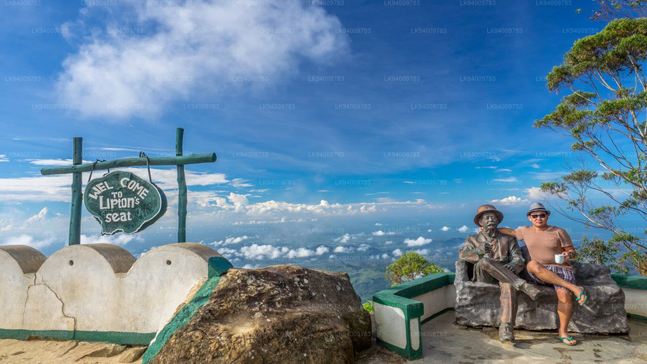 Lipton'ın Koltuğu
Lipton's Seat, Poonagala tepelerinde bulunan yüksek bir gözlem noktasıdır. Kasabaya adını veren Poonagala Tepesi'nin zirvesinde yer alan bu nokta, Dambatenne Çay Fabrikası'na da yakındır. Lipton's Seat, adını ünlü İskoç baron ve çay plantasyoncusu Sir Thomas Lipton'ın, çok eski zamanlarda imparatorluğunu gözlemlemek için burayı kullandığı yerden almıştır.
-
 Küçük Adam Tepesi
Sri Lanka'daki güzel turistik yer olan Küçük Adam Tepesi'ni küçümsemeyin; "Küçük" kelimesi, iki dağ arasındaki benzerlik nedeniyle kutsal Adam Tepesi'nden (Sri Pada - Buda'nın ayak izinin korunduğu yer) adını almıştır.
-
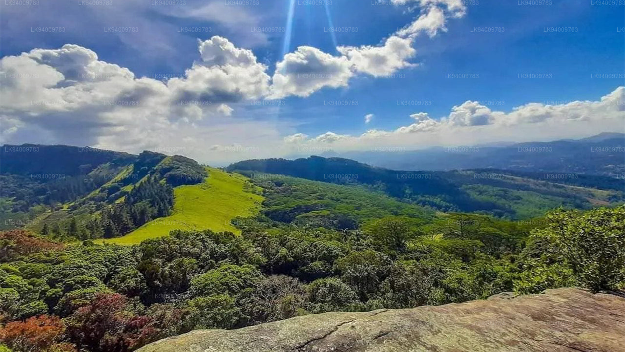
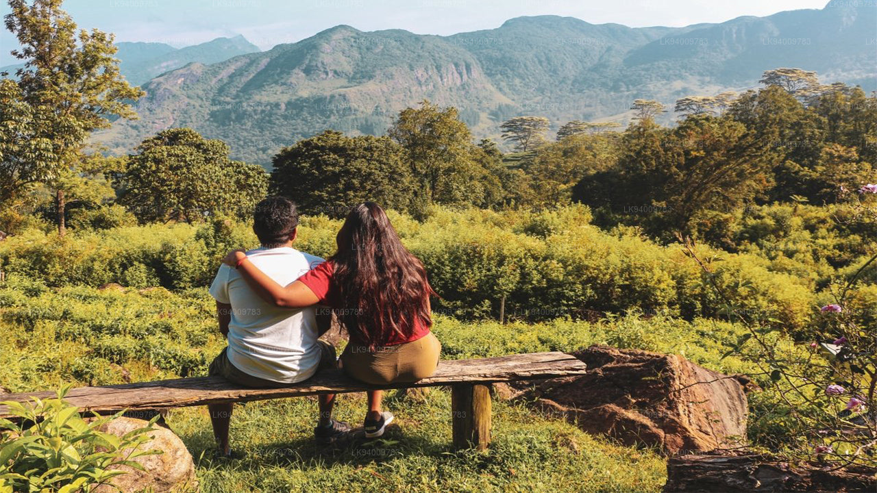
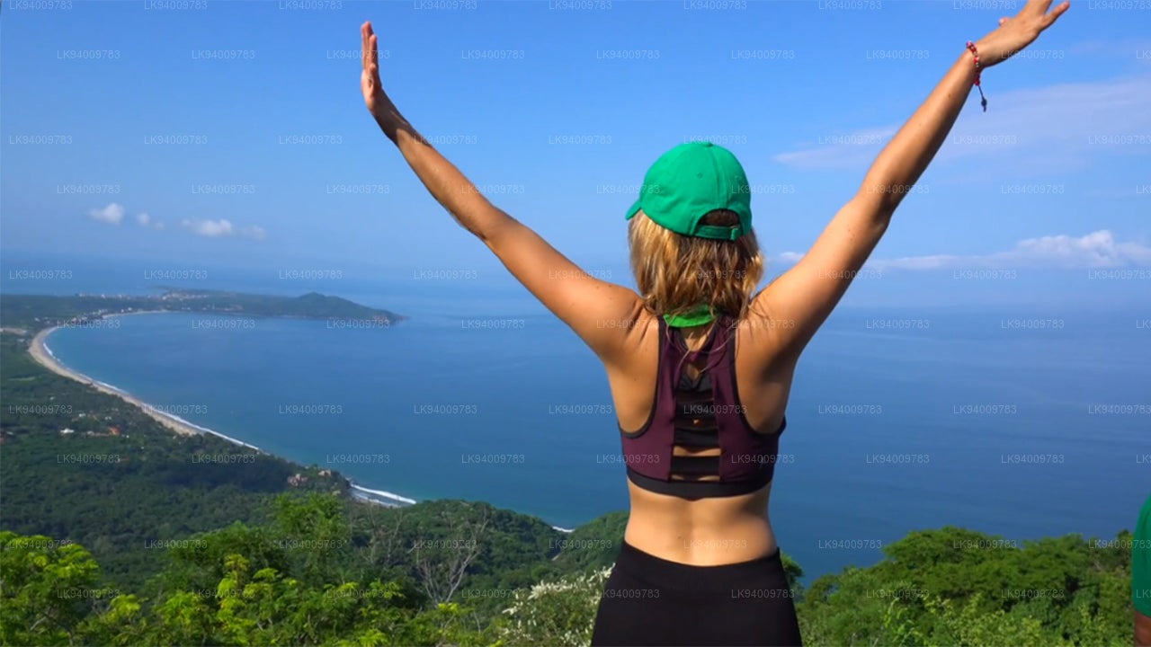
 Ritigala
Ritigala'ya, Habarana'dan 12 km uzaklıktaki Habarana-Anuradhapura yolundan sapaktan ulaşılabilir. Dağın eteğine ise, çakıllı ancak araçla geçilebilen 5 km'lik bir yol daha bulunmaktadır.
-
 Ethgala (Fil Kayası)
Ethagala (Fil Kayası), Sri Lanka'daki Kurunegala kasabasına bakan yedi kayadan biridir. Kaya yüzeyi, kasabanın 316 metre (1.037 ft) üzerinde yükselir ve şekli çömelmiş bir file benzer; bu da kayanın adını açıklar.
-
 Rumassala Dağı
Rumassala Dağı. Geçmişte Rumassala, sömürge dönemine dayanan ve büyük olasılıkla bir bozulma sonucu ortaya çıkan Buona Vista adıyla biliniyordu.
-
 Knuckles Serisi
Knuckles sıradağları, diğer adıyla Dumbara sıradağları, Sri Lanka'nın Orta Yaylalarının kuzey ucunda, Kandy'nin açıklarında yer almaktadır. Sıradağların güney ve doğusunda Mahaweli nehri havzası, batısında ise Matale ovaları bulunmaktadır.
-
 Alagalla Dağ Silsilesi
Alagalla Dağ Silsilesi. Alagalla Dağ Silsilesi veya "Patates Silsilesi", Sri Lanka'da Orta ve Sabaragamuwa illerinin sınırlarında yer almaktadır.
-
 İncil Kayası
"İncil Kayası", Sri Lanka'nın merkezindeki Kegalle Bölgesi'nde, Aranayake yakınlarında bulunan bir dağdır. Yüzeyinin İncil'e benzemesinden dolayı "İncil Kayası" olarak bilinir.
-
 Maymun Dağı
Maymun Dağı. Gal Oya bölgesi, yemyeşil bitki örtüsü ve ormanlarıyla göz kamaştırıyor. Savaş sırasında tamamen ıssız ve girişlere kapalı olan bölge, büyük ölçüde gelişmeden uzak kalmış ve manzarası bozulmamış durumda.
-
 Yahangala
Büyük Kral Ravana'nın naaşı, hemşehrilerinin sevgili krallarına son saygılarını sunabilmeleri için ölümünden sonra Yahangala (ana kaya) adı verilen bu kayanın üzerine yerleştirildi.