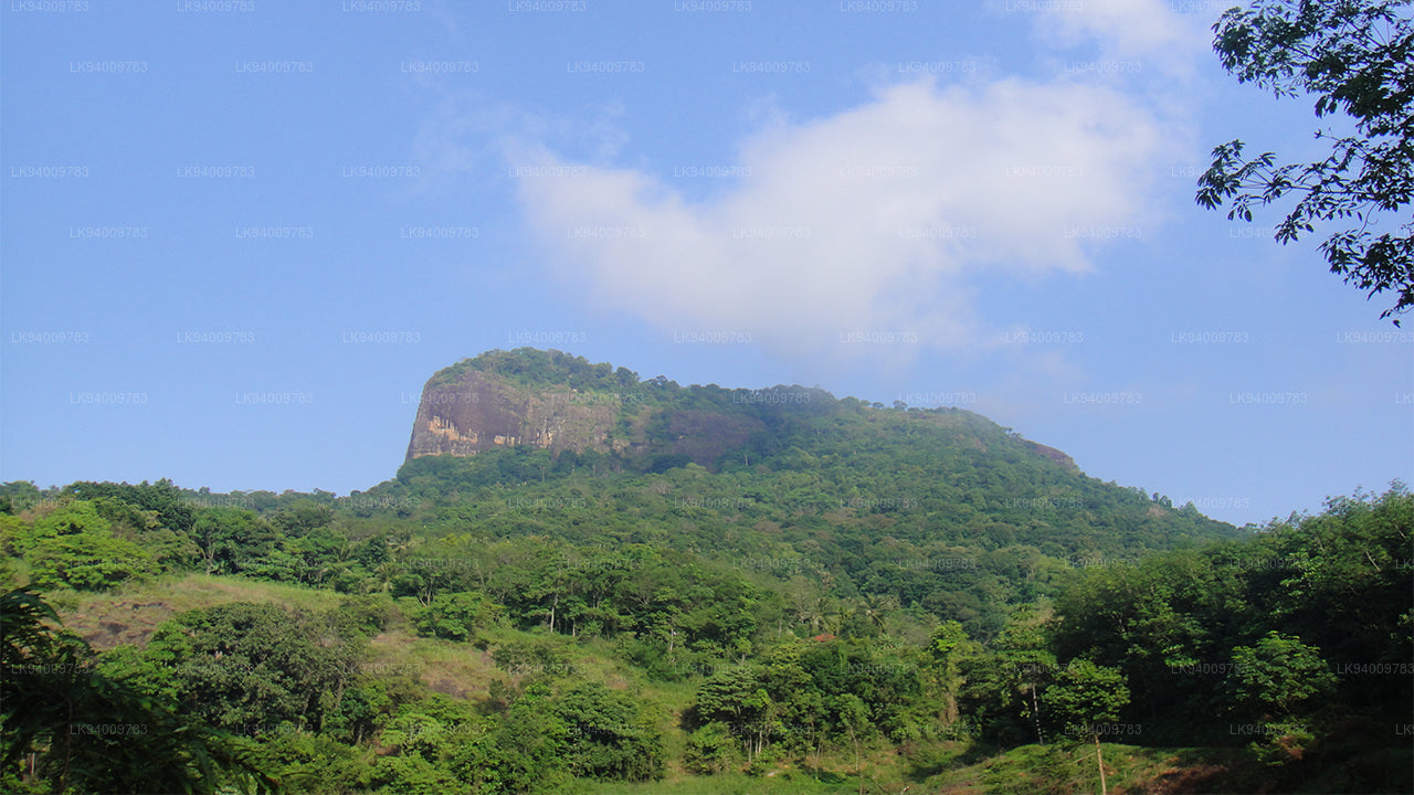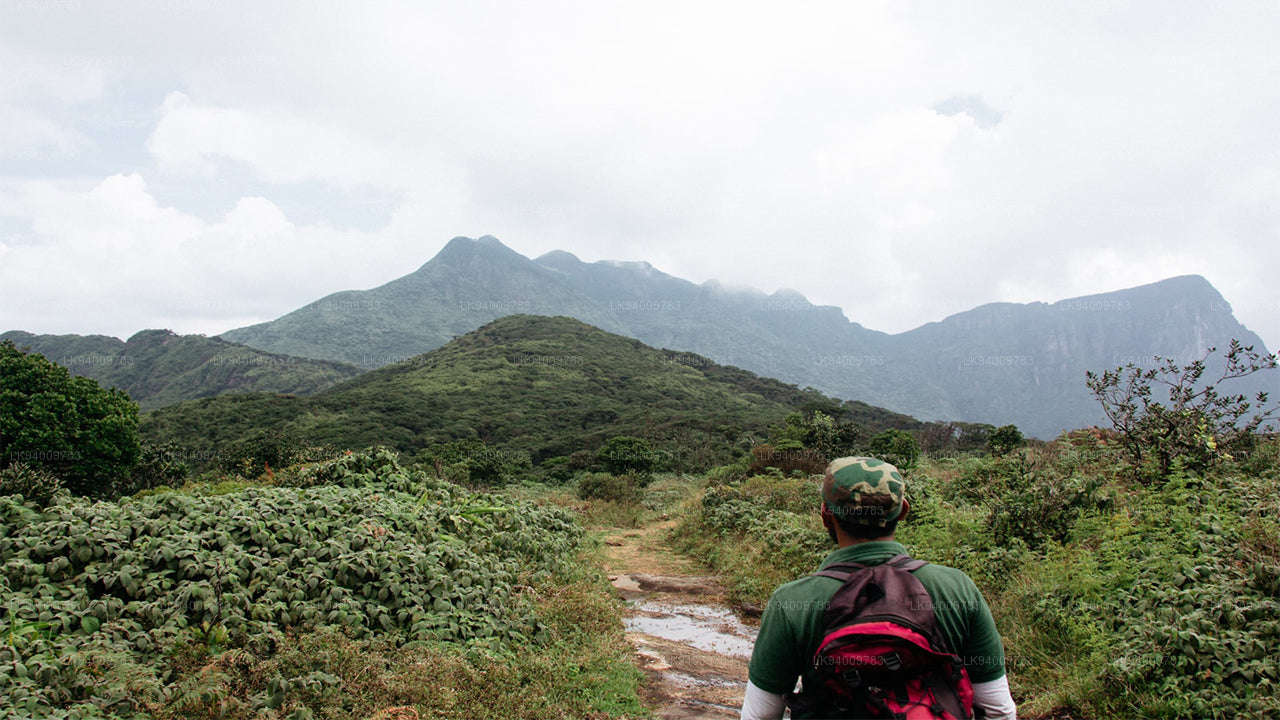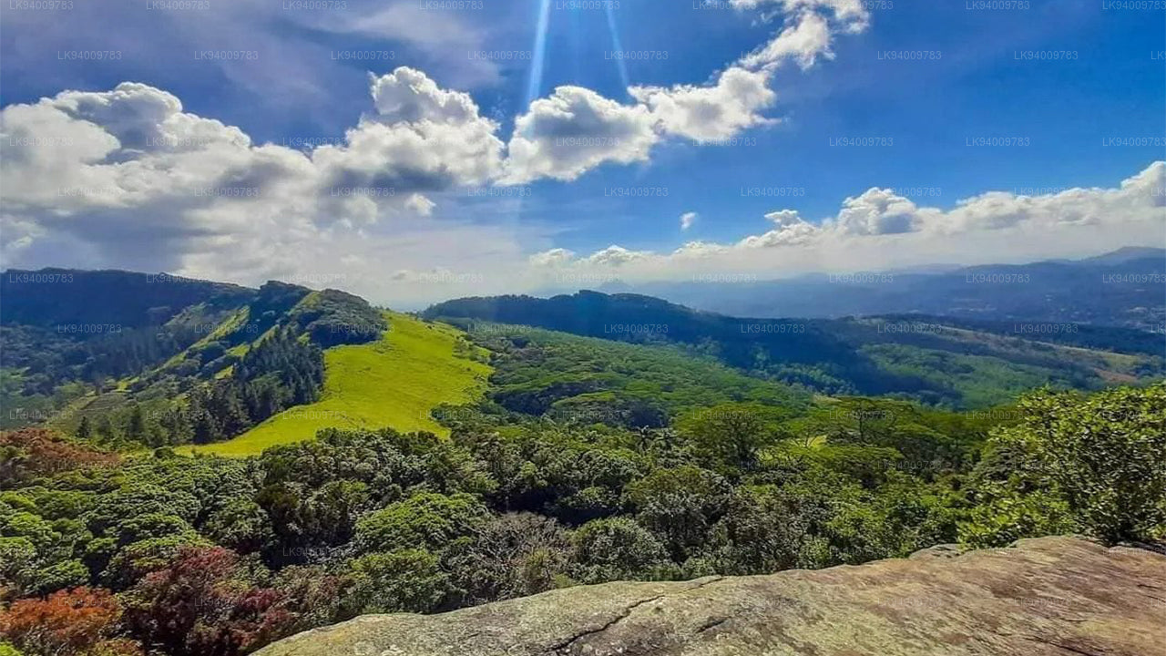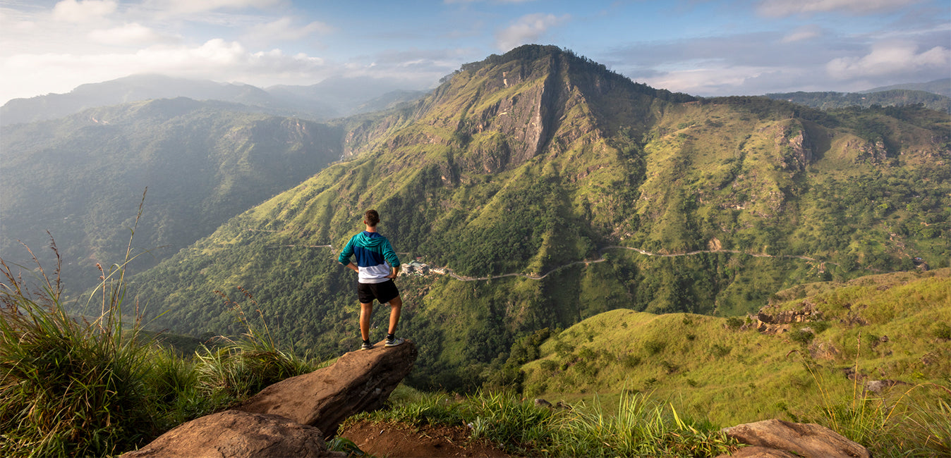
Pidurutalagala — known in English as Mount Pedro — is the highest point in Sri Lanka, rising to 2,524 metres (8,281 feet) above sea level. Positioned in the Central Province, just north-northeast of Nuwara Eliya, this peak is not merely a geographic superlative: it is the island's only ultra-prominent summit, a classification shared by fewer than 1,600 mountains worldwide. Its name translates loosely from Sinhala as "Straw Plateau Rock" — a reference to the pale, straw-coloured vegetation that caps its broad, relatively flat summit during the drier months.
What makes Pidurutalagala geographically significant?
A mountain earns ultra-prominent status when its topographic prominence — the vertical distance between its summit and the highest contour line that encircles it without reaching a higher peak — exceeds 1,500 metres. Pidurutalagala meets that threshold with a prominence equal to its full elevation of 2,524 m, meaning no higher ground exists anywhere on the island. Sri Lanka's Survey Department records the height as 2,526 m (8,292 feet), a minor discrepancy that reflects different measurement methodologies.
The mountain anchors the central massif of Sri Lanka and forms a natural watershed for several rivers that flow toward both the wet and dry zones. Its geological foundation is Precambrian metamorphic rock — predominantly charnockite and granulite — part of the ancient Highland Series that underpins much of the island's interior. The summit sits above the climatic zone where montane cloud forest gives way to a subalpine grassland rarely found elsewhere in South Asia.
What does the cloud forest on Pidurutalagala look like?
Vegetation changes dramatically as the mountain's slopes rise. Lower elevations carry tall, closed-canopy forest typical of Sri Lanka's wet zone hills. Higher up, the trees shorten noticeably, their crowns flattened by persistent wind and their trunks thickened and gnarled. Lichens and mosses colonise every surface, and the air carries a persistent cool dampness — the defining character of a cloud forest. This transition zone is one of the most biologically distinct on the island, harbouring endemic plants, birds, and invertebrates that depend on the cool, mist-laden microclimate.
Near the summit, the forest gives way to open patana grassland. Eyewitness accounts from the 1940s describe the summit cap as pale green during the rainy season, drying to a yellowish straw colour in the summer months — the natural phenomenon that gave the mountain its Sinhala name. Before the summit was secured as a restricted area, elephant trails were reported alongside the single human-made path, hinting at the large mammals that once moved freely across the massif.
What is the history of Pidurutalagala during the British colonial era?
During British colonial rule, Pidurutalagala was a fashionable excursion for residents and visitors to Nuwara Eliya. Records from 1897 document a well-worn footpath to the summit, manageable on foot in roughly two and a half hours or more quickly on horseback. The mountain's accessibility and commanding views made it popular enough that sedan chairs — wooden litters carried on bamboo poles by porters — were made available for visitors who preferred not to walk. The chairs sometimes featured carved seats, protective hoods, and curtains, reflecting the expectations of the well-heeled colonial traveller.
The British nickname "Pedro" is a straightforward piece of colonial pragmatics: "Pidurutalagala" proved difficult for English speakers to pronounce, and "Pedro" — a name already familiar from Portuguese influence elsewhere in Sri Lanka — offered a workable substitute. The name has persisted in casual usage ever since, though official maps use the Sinhala form.
In the early 20th century a single stone-marked path was the only human-made route to the top, with waymarkers inscribed with the altitude in feet at regular intervals. The rest of the mountain remained essentially untouched, as much by practical inaccessibility as by any formal protection. The nearby hill station of Nuwara Eliya — with its racecourse, post office built in 1894, and grand hotels — served as the social base for anyone planning the climb. The Grand Hotel, Nuwara Eliya remains a period landmark that recalls exactly this era.
Can visitors climb Pidurutalagala today?
Public access to the summit of Pidurutalagala is currently not permitted. The mountain's summit zone is classified as an ultra-high security area because it houses the communications infrastructure of the Sri Lankan Government and the Armed Forces, including a significant telecommunications array. Sri Lankan military personnel control the access road and surrounding area.
Visitors can drive or walk along the lower slopes and enjoy views of the mountain from Nuwara Eliya itself — the peak is visible from many points in and around the town on clear mornings. For those drawn to high-altitude walking in the Central Highlands, the Horton Plains National Park offers accessible trekking terrain at elevations above 2,100 metres, with panoramic views that include Pidurutalagala on clear days.
How does Pidurutalagala compare with other Sri Lankan peaks?
| Mountain | Elevation | Province | Access |
|---|---|---|---|
| Pidurutalagala (Mount Pedro) | 2,524 m | Central | Restricted (military zone) |
| Kirigalpoththa | 2,395 m | Central / Uva | Open (via Horton Plains) |
| Totapola | 2,357 m | Central / Uva | Open (via Horton Plains) |
| Adam's Peak (Sri Pada) | 2,243 m | Sabaragamuwa | Open (pilgrim season) |
What wildlife and ecology surrounds the mountain?
Although public access to the summit is restricted, the forest reserve surrounding Pidurutalagala supports a range of endemic species. The montane cloud forests here are part of a broader highland ecosystem that includes endemic birds such as the Sri Lanka whistling thrush and the dull-blue flycatcher, as well as purple-faced langur monkeys and a variety of orchids found nowhere else on Earth. The cool, misty conditions also sustain mosses, liverworts, and ferns that form dense ground cover across the forest floor.
A forest fire approximately five years before the current decade caused the loss of several acres of forest on one of the mountain's flanks. Recovery efforts combining natural regeneration with replanting have since made measurable progress, though montane ecosystems are slow to restore fully. The restriction on public access has, inadvertently, provided a degree of protection that openly accessible peaks in Sri Lanka do not always enjoy.
When is the best time to visit the Nuwara Eliya area near Pidurutalagala?
The Nuwara Eliya district sits in the intermediate zone climatically, receiving rain from both the southwest monsoon (May to September) and the northeast monsoon (October to January). The driest and most settled weather typically falls between January and April, when skies are clearest and views of the mountain are at their best. Temperatures at altitude remain cool year-round, averaging between 9 °C and 18 °C in Nuwara Eliya town — significantly cooler than the coast. Lightweight layers, a waterproof jacket, and walking shoes are advisable regardless of season.
The tea-growing landscape surrounding the mountain is particularly photogenic during the dry season, when the Ceylon green tea bushes are at their lushest and the harvest is active. The broader highlands around Nuwara Eliya, including the Bluefield Tea Gardens, offer accessible insight into the plantation culture that shaped this part of the country during and after the colonial period.
How do I get to the Pidurutalagala area from Colombo?
Nuwara Eliya, the nearest town to Pidurutalagala, lies roughly 180 kilometres from Colombo by road. The drive via the A7 highway through Kandy and Gampola typically takes between four and five hours depending on traffic and road conditions. The scenic train journey from Colombo Fort to Nanu Oya (the station serving Nuwara Eliya) is a popular alternative, passing through the dramatic highland scenery of the central ranges. From Nuwara Eliya town, the lower slopes of the mountain are visible and the surrounding area is walkable; the restricted security perimeter begins further up the access road.