Knuckles-gebergte


De Knuckles Range, ook wel de Dumbara Mountain Range genoemd, ligt nabij Kandy, aan de noordkant van de Centrale Hoogvlakte van Sri Lanka. Ten zuiden en oosten van het bergmassief ligt het Mahaweli River bekken, terwijl aan de westkant de Matale vlaktes liggen.
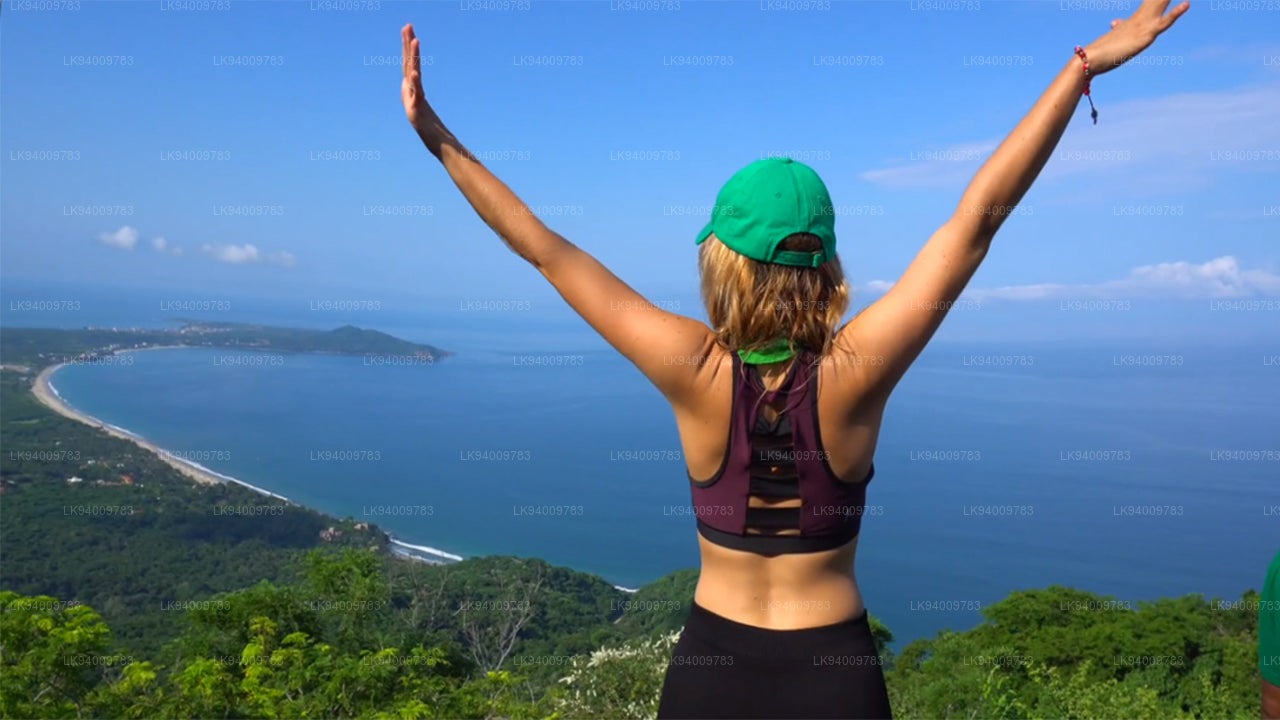
Toegang tot de Knuckles Range
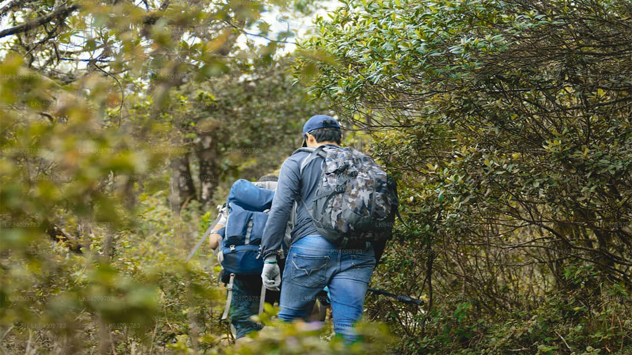
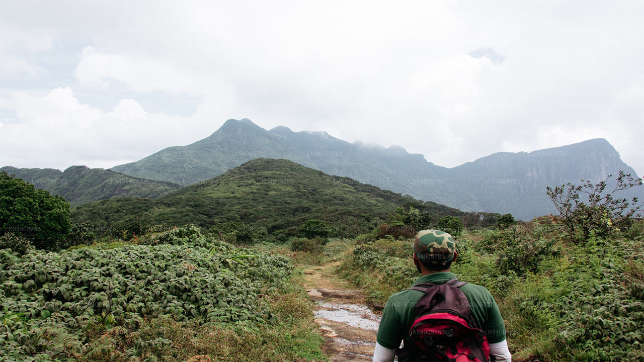
De favoriete benadering voor trekkers naar de Knuckles Range begint op de A26 snelweg die van Kandy naar Hunnasgiriya loopt. In Hunnasgiriya leidt een B-weg naar Corbett's Gap, waar magnifieke uitzichten over de Knuckles Range geopend worden. Vanuit Corbett's Gap kan de weg naar het dorp Meemure ook met een voertuig met een goed bodemvrijstelling worden bereden.
Trekkers hebben ook nog twee andere toegangsmogelijkheden: vanuit Matale via Rattota en Riverston, en vanuit Wattegama via Panwila. De ruige pieken van de Knuckles (Dumbara Hills) werden door de Britten zo genoemd vanwege hun gelijkenis met de knokkels van een gebalde vuist. Het steil hellende bergterrein bereikt 1863 m op de top van de belangrijkste Knuckles-piek (de zesde hoogste van Sri Lanka) en bevat zeldzame dwergwolkbossen.
Trekkingen in de Knuckles Range
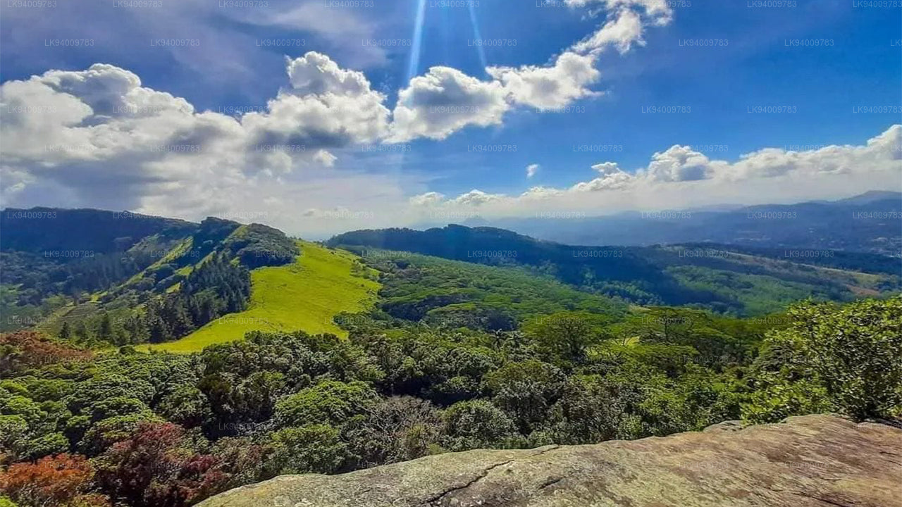
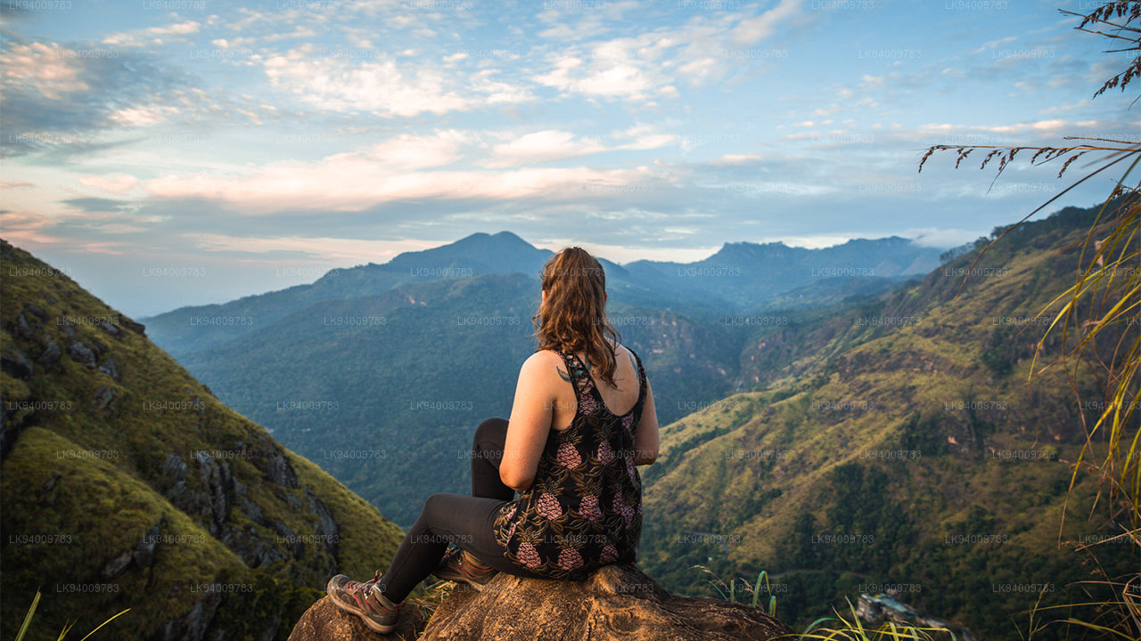
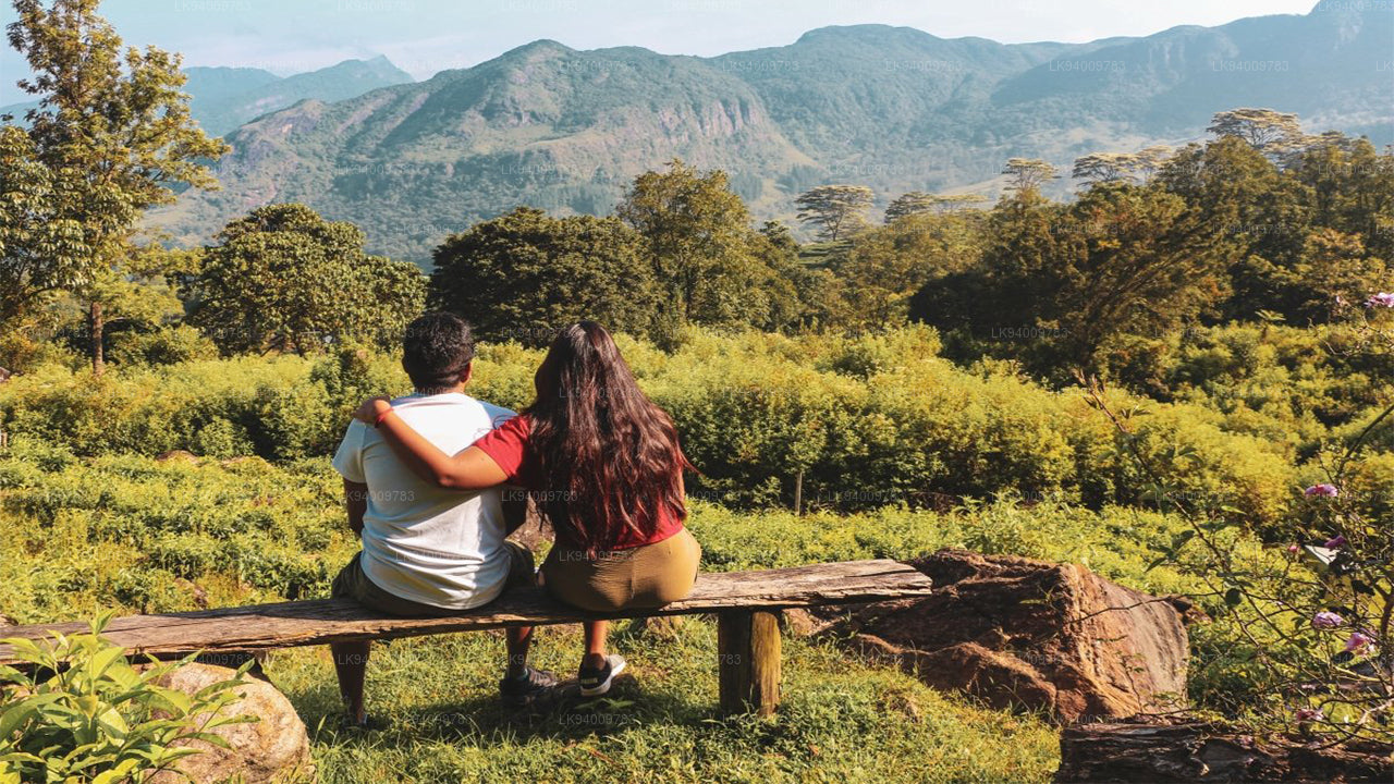
De Knuckles Range is een van de mooiste natuurlijke attracties van Sri Lanka. Het veranderende terrein van graslanden, ruige bergpieken afgewisseld met beken en watervallen maakt de Knuckles Mountain Range, die een gebied van 18.512 hectare beslaat, tot een paradijs voor trekkers.
De Knuckles Mountain Range, een UNESCO Werelderfgoed Conservatiegebied dat intrigerende trekkingmogelijkheden biedt, is nog steeds, voor een groot deel, een ongerept gebied van grote natuurlijke schoonheid en biodiversiteit. Serieuze trekkers en biodiversiteitsliefhebbers maken zelfs een driedaagse hike van meer dan 40 km met een gids.
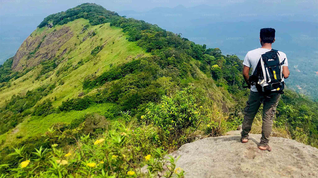
Populaire hiking routes zijn Mini World's End van Deanston, de route naar Dothalugala van Deanston, de route naar Nitro Caves van Corbett's Gap, de route naar Augallena Cave via Thangappuwa van Corbett's Gap, en de route naar Kalupahana van het Meemure dorp.
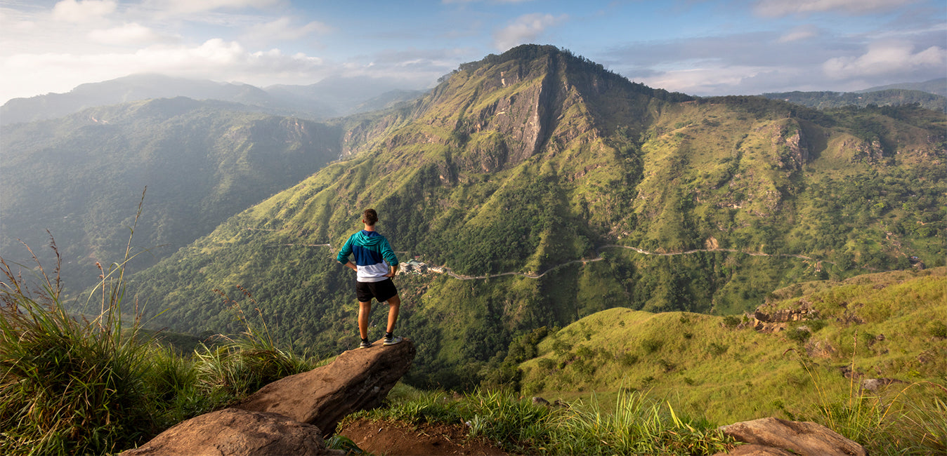
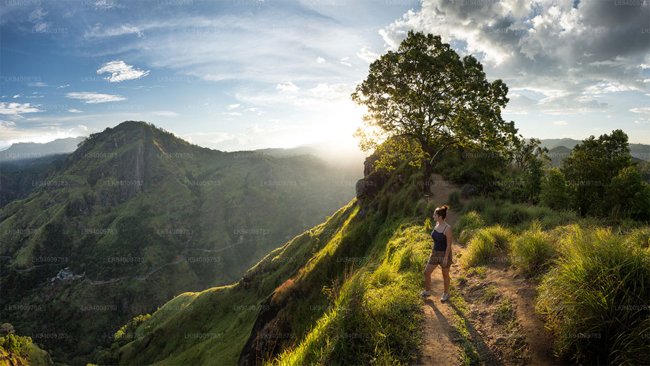
Mini World's End in de Knuckles Range
Mini World's End (1192 m) is een afgrond gelegen aan de zuidkant van de Knuckles Range en is een uitstekend observatiepunt. Vanaf deze locatie is het panoramische uitzicht over de Knuckles Range en enkele dorpen aan de voet van de bergen te zien. De 1,1 km lange trek die begint bij het Knuckles Conservation Centre (KCC) - Deanston kan in een uur worden voltooid.
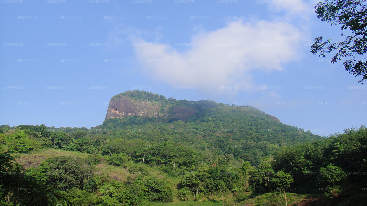
Bergpieken in de Knuckles Range
De Knuckles Mountain Range heeft 34 pieken met een hoogte tussen de 900 en 1900 meter. Vijf hoge bergpieken van het massief lijken op een gebalde vuist, wat de reden is dat de Britten in Ceylon het de Knuckles Range noemden.
Weer en Seizoen
Het weer in de Knuckles Mountain Range is onvoorspelbaar en kan binnen enkele minuten veranderen. Dikke mist kan de bergen in enkele minuten bedekken, en regen kan op elke dag vallen.
December tot februari is een goede periode om te genieten van trekking in de Knuckles, met een gematigde kans op regen. Maart tot mei is ook een goede periode om te gaan trekken, met een lagere kans op regen. Juni tot september heeft de laagste kans op regen en biedt de beste mogelijkheden. September tot november is doorgaans minder populair bij trekkers vanwege hogere regenval.
Klimaat in de Knuckles Range
De gemiddelde neerslag in de Knuckles Range ligt tussen de 3000-5000 mm, terwijl de temperatuur varieert tussen de 5,5 en 35 graden Celsius. De zuidwestmoesson brengt regen door de kloften in het bergmassief. De gemiddelde windsnelheid is ongeveer 7,2 km/uur en de luchtvochtigheid ligt tussen de 57%-90%.
Meemure, Kaikawala, en Galamuduna behoren tot de traditionele dorpen in en rondom de Knuckles Mountain Range. Het gebied wordt bewoond door dorpsbewoners die in 37 oude dorpen wonen. Het bestaan van deze inheemse gemeenschappen is afhankelijk van rijstteelt, chena-teelt (brandakkers) en kardemomteelt. Het transport van de oogst gebeurt met lastdieren genaamd Thawalama. Meemure bleef zo'n traditioneel dorp dat elektriciteit pas in 2008 arriveerde.
Biodiversiteit in de Knuckles Range
De Knuckles Range herbergt zoogdieren zoals wilde zwijnen, gestippelde herten, gigantische eekhoorns, blaffende herten, paarse bladapen, mangoesten en stekelvarkens.
Onder de endemische hagedissoorten die in de Knuckles Range worden gevonden, zijn de Crestless Lizard (Calotes liocephalus), Pygmy Lizard (Cophotis ceylonica), Kangaroo Lizard (Otocryptus wiegmanni), en de Leaf-nosed Lizard (Ceratophora tennentii), die alleen in dit bos voorkomt. De Knuckles Range herbergt maar liefst 200 vogelsoorten, waarvan vijftien endemisch zijn voor Sri Lanka, waaronder de Spot-winged Thrush, de Sri Lanka Blue Magpie, Junglefowl, Yellow-fronted Barbet, Crimson-fronted Barbet, Sri Lanka Warbler, White-faced Starling, Sri Lanka White-eye, Black-headed Bulbul, Yellow-eared Bulbul, Dull-blue Flycatcher, Brown-capped Babbler en Layard's Parakeet.
Bossen in de Knuckles Range
De Knuckles Range heeft een grote diversiteit aan bosbedekking: droge evergreen bossen, bergbossen, submontane bossen, droge en natte pathana en savanne. Het is aangeto
-
 Pidurutalagala
Pidurutalagala, ofwel Mount Pedro, is een zeer prominente piek en met een hoogte van 2.524 meter (8.281 voet) de hoogste berg van Sri Lanka. Mount Pedro ligt vlakbij de stad Nuwara Eliya en is vanuit de meeste delen van de Centrale Provincie goed zichtbaar. De berg bevindt zich ten noordnoordoosten van Nuwara Eliya.
-
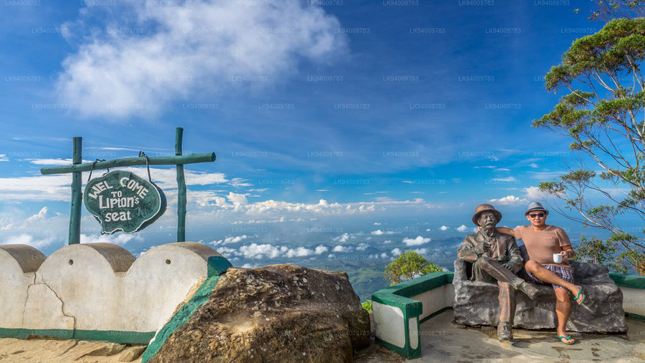 Liptons zetel
Lipton's Seat is een hoog uitkijkpunt in de heuvels van Poonagala. Het ligt op de top van de gelijknamige Poonagala-heuvel, vlakbij de Dambatenne-theefabriek. Lipton's Seat dankt zijn naam aan de beroemde Schotse baron en theeplanter Sir Thomas Lipton, die het in een lang vervlogen, maar niet vergeten tijd gebruikte als uitkijkpost om zijn rijk te overzien.
-
 Kleine Adamspiek
Negeer de prachtige toeristische trekpleister Little Adams Peak in Sri Lanka niet. De naam 'Little' is afgeleid van de heilige Adams Peak (Sri Pada, waar de voetafdruk van Boeddha bewaard wordt) vanwege de gelijkenis tussen de twee bergen.
-
 Ritigala
Ritigala is te bereiken via de afslag van de Habarana-Anuradhapura-weg, op 12 km afstand van Habarana. Nog eens 5 km over een onverharde, maar begaanbare weg leidt naar de voet van de berg.
-
 Ethgala (Olifantenrots)
Ethagala (de Olifantenrots) is een van de zeven rotsen die uitkijken over de stad Kurunegala in Sri Lanka. De rotswand reikt 316 meter boven de stad uit en heeft de vorm van een hurkende olifant, wat de naam van de rots verklaart.
-
 Rumassala-berg
Rumassala-berg. Vroeger stond Rumassala bekend als Buona Vista, een naam die dateert uit de koloniale periode en waarschijnlijk een verbastering is.
-
 Knuckles Range
Het Knuckles-gebergte, ook wel het Dumbara-gebergte genoemd, ligt ten noorden van Kandy, in het centrale hoogland van Sri Lanka. Ten zuiden en oosten van het gebergte bevindt zich het stroomgebied van de Mahaweli-rivier, terwijl ten westen de Matale-vlakte ligt.
-
 Alagalla-gebergte
Het Alagalla-gebergte, ook wel "Aardappelgebergte" genoemd, ligt op de grens van de provincies Centraal-Sri Lanka en Sabaragamuwa.
-
 Bijbelrots
Bible Rock is een berg in de buurt van Aranayake in het district Kegalle in centraal Sri Lanka. De berg staat bekend als de "Bijbelrots" vanwege de gelijkenis met een rots.
-
 Apenberg
Apenberg. Het Gal Oya-gebied is rijk aan bossen en weelderige vegetatie. Omdat het gebied tijdens de oorlog volledig afgelegen en verboden terrein was, is het grotendeels aan ontwikkeling ontsnapt en is het landschap grotendeels ongerept gebleven.
-
 Yahangala
Na zijn dood werd het lichaam van de grote koning Ravana op deze rots, Yahangala (rotsbodem), bewaard, zodat zijn landgenoten hun laatste eer konden bewijzen aan hun geliefde overleden koning.