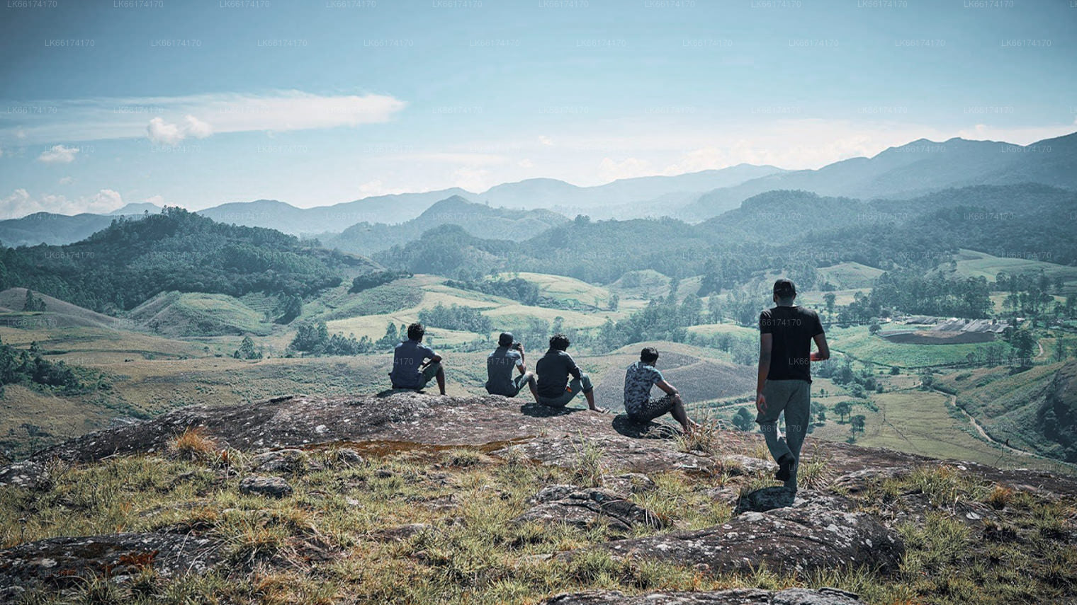
Sri Jayawardenepura Kotte

Sri Jayewardenepura Kotte, formerly Kotte, city and legislative capital of Sri Lanka. It is located in the southwestern part of the country, about 5 miles (8 km) southeast of the commercial capital of Colombo, of which it was once a suburb. An urban council governs Sri Jayewardenepura Kotte and the neighbouring town of Nugegoda. Despite the city’s urban character, it contains a number of rice paddies and plantations.

As Sri Jayewardenepura Kotte, it was the capital of the Sinhalese kingdom of Kotte from 1415 to 1565, largely owing to the lagoons, rivers, and swamps that still encircle it and provide a natural defense. Its partition at the beginning of the 16th century culminated in the Portuguese domination of Ceylon (present-day Sri Lanka). At some point the city’s name was abbreviated to Kotte. When the first Portuguese envoys were taken from Colombo to Kotte in 1505, the Sinhalese led them on a circuitous three-day trip to conceal the capital’s location. “To go to Kotte” thus became a Sinhalese synonym for a roundabout route.

Within several decades of Sri Lankan independence (1948), government offices had outgrown the country’s capital of Colombo, and the decision was made to relocate offices outside the city. In 1977 the government designated Sri Jayewardenepura Kotte, under its original name, the new capital, and in 1982 the new parliament building was inaugurated there. The following year other government offices began moving to the city.

Contemporary Sri Jayewardenepura Kotte is a planned urban site with government offices and residential housing. The parliament house and other legislative buildings are located on a small island in Lake Diyawanna Oya, situated in the midst of reclaimed swampland. The University of Sri Jayewardenepura, one of Sri Lanka’s premier institutions of higher learning, is located in the city. The university was originally founded in 1873 as Vidyodaya Pirivena, a Buddhist centre of learning, and attained university status in 1958; it took its current name in 1978. Pop. (2001) 116,366; (2012) 107,925.

콜롬보 지구 소개

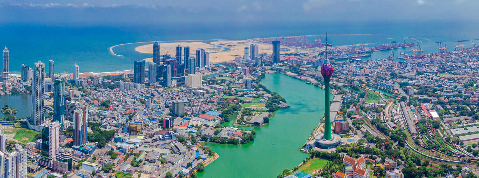
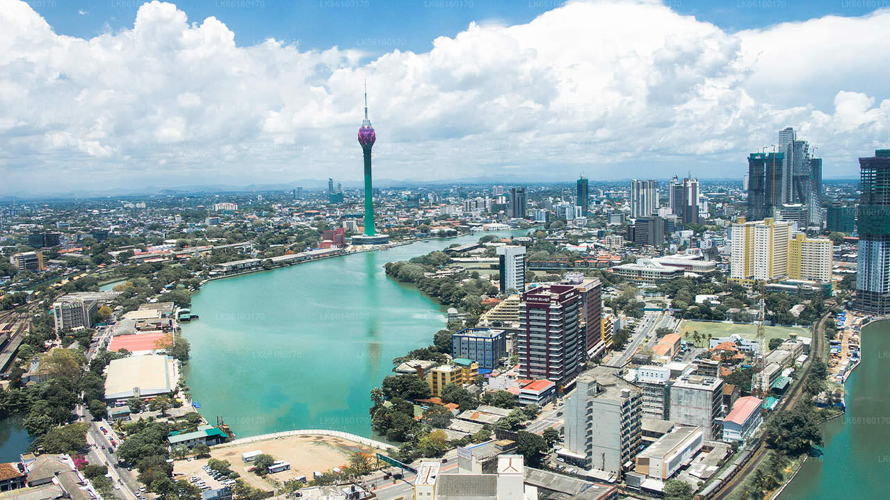
콜롬보는 스리랑카에서 가장 큰 도시이자 상업 중심지입니다. 섬의 서쪽 해안에 위치하며 수도인 스리자야와르데네푸라코테와 인접해 있습니다. 콜롬보는 현대적인 삶과 식민지 시대 건물 및 유적이 조화를 이루는 활기 넘치는 도시로, 인구는 647,100명입니다. 콜롬보, 감파하, 칼루타라 지구로 구분되는 콜롬보 수도권은 약 5,648,000명의 인구를 보유하고 있으며, 면적은 3,694.20km²입니다. 콜롬보는 다민족, 다문화 도시입니다. 스리랑카에서 인구가 가장 많은 도시로, 시 경계 내에 642,163명이 거주합니다. 콜롬보의 인구는 주로 싱할라족, 무어족, 타밀족 등 다양한 민족이 혼합되어 있습니다. 이 도시에는 중국, 포르투갈, 네덜란드, 말레이, 인도계 주민들로 구성된 소규모 공동체와 수많은 유럽계 외국인들이 거주하고 있습니다. 스리랑카 기업의 대다수는 콜롬보에 본사를 두고 있습니다. 화학, 섬유, 유리, 시멘트, 가죽 제품, 가구, 보석류 등의 산업이 이곳에 있습니다. 시내 중심부에는 남아시아에서 두 번째로 높은 건물인 세계 무역 센터가 있습니다.

서부 지방에 대하여

서부 주는 스리랑카에서 인구 밀도가 가장 높은 주입니다. 입법 수도인 스리자야와르데네푸라코테와 국가의 행정 및 비즈니스 중심지인 콜롬보가 있습니다. 서부 주는 콜롬보(642km²), 감파하(1,386.6km²), 칼루타라(1,606km²)의 세 개의 주요 지구로 나뉩니다. 스리랑카의 경제 중심지인 서부 주에는 모든 주요 국내 및 국제 기업과 유명 디자이너 및 대형 유통업체가 자리 잡고 있습니다. 따라서 서부 주에서 쇼핑을 즐길 준비를 하세요. 모든 주에서 인구가 가장 많은 서부 주에는 섬의 거의 모든 주요 교육 기관이 위치해 있습니다. 이 지방의 대학으로는 콜롬보 대학, 스리자야와르데네푸라 대학, 켈라니야 대학, 스리랑카 오픈 대학, 스리랑카 불교 및 팔리어 대학, 존 코텔라왈라 국방 대학, 모라투와 대학이 있습니다. 서부 지방에는 국립, 지방, 사립 및 국제 학교를 포함하여 전국에서 가장 많은 학교가 있습니다.