Meemure


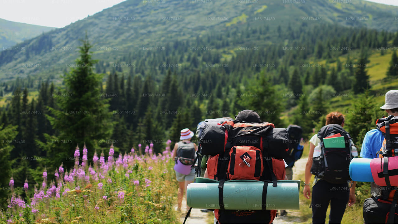
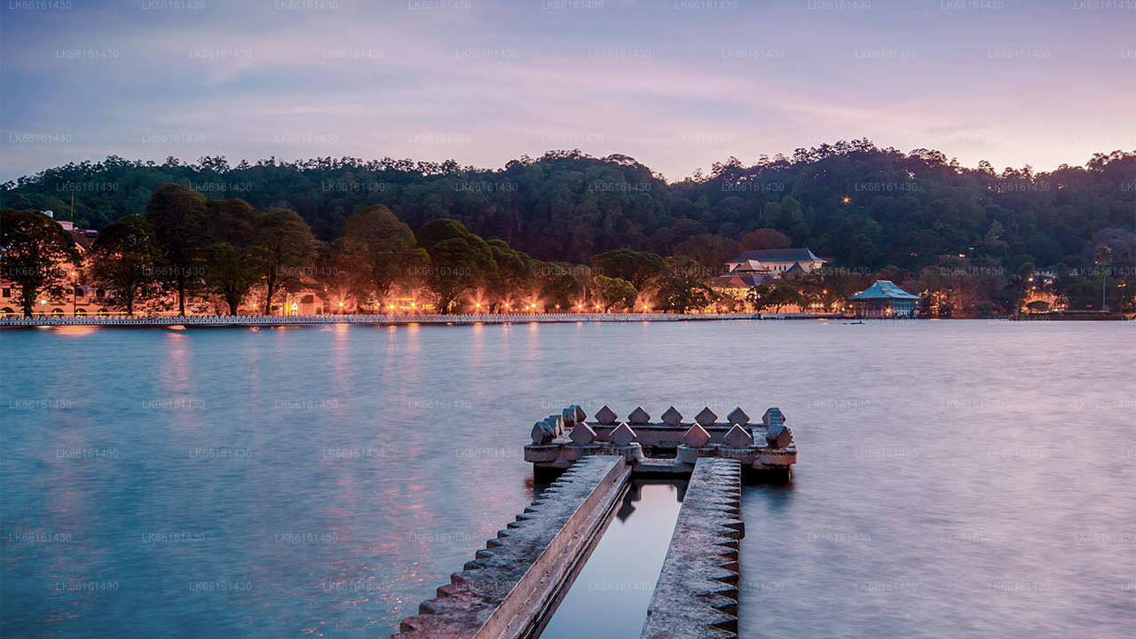
Meemure is an isolated village in the Central Province of Sri Lanka, located 324m above sea level and hidden amongst the mountains. The only way to reach it is from the ‘Hunnasgiriya’ mountain, which is part of the Knuckles range, approximately 50km from Kandy. It’s a difficult trail of 33km from Hunnasgiriya to Meemure with many tricky spots, though the view along it is excellent. The village itself receives abundant water in the form of waterfalls that have their sources in the evergreen forests of the Knuckles. East of the village lies the pyramid shaped Lakegala mountain; while the west is dominated by the picturesque Knuckles range. The northern boundary of Meemure borders a forest which runs to the ‘Pitawala Pathana’ grassland; and the south is bounded by Heen River.
Pack-bulls used to be the solitary method of transport to Meemure until 2004. Herds of cattle carried sacks full of goods and equipment to the village. Due to the fertility and prosperity of the village; the pack-bulls were only used to carry salt, cloths, tobacco and calcium bicarbonate. But with the invasion of modern technology, the trails have been widened to allow three wheelers, jeeps and small trucks.
Folklore and History
Meemure received its name from the ‘Mee’ trees (as the villagers called them) that surrounded the place.
According to the folklore the village dates back to almost 5000 years ago. Lakegala that that lies to the east is believed to have been the property of the legendary King Ravana from the Indian literary epic Ramayana. As the stories go, Lakegala was used by Ravana as a power source and there was a tunnel through Lakegala in the times of Ramayana. It is said the tunnel was sealed after the war of Ramayana with the corpse of Ravana placed within it.
Another story states dates to 700 B.C which was the era of King Vijaya who is believed to be the forefather of the current population of Sri Lanka. Vijaya arrived on the island from India with his followers and caught sight of the shapely primitive woman Kuweni. He was overtaken by lust and took Kuweni as his informal wife. Kuweni bore him two children, but then Vijaya banished her from his castle when he formally married a royal princess from India. Hence Kuweni was forced to take her move into the forest along with her children. It is believed that they lived in the forest where Meemure is located, and that the indigenous people of Sri Lanka originated from the two children of Kuweni. The indigenous people of modern Sri Lanka are based just 60km from Meemure in