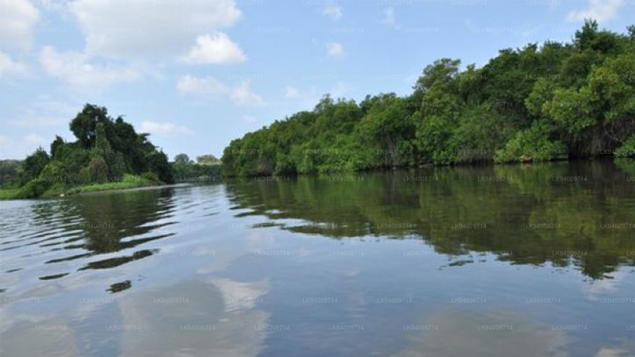
말바투 강


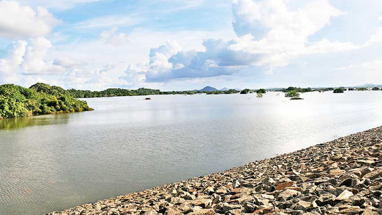
말와투 강(Malwathu River), 또는 말와투 오야(Malwathu Oya)는 스리랑카의 역사적인 중심을 흐르며, 이 나라에서 가장 문화적으로 중요한 강 중 하나입니다. 이 강은 미힌탈레 근처에서 시작되어 아누라다푸라의 고대 풍경을 가로지르며, 넓은 평야, 비옥한 마을 지역과 고고학적 지대를 지나 만나르에서 바다와 만납니다. 이 강의 여행은 건조 지역을 통과하며 초록과 열린 땅의 뚜렷한 대비를 만들어 지역의 아름다움과 특성을 형성합니다.
역사적으로, 말와투 강은 세계에서 가장 오래되고 가장 정교한 수리 문명 중 하나의 발전에 중심적인 역할을 했습니다. 아누라다푸라의 고대 저수지들—누와라 웨와, 티사 웨와, 나차두와 웨와—는 말와투 유역에서 공급되는 물로 운영되었습니다. 이 시스템들은 농업을 발전시키고, 왕궁을 지원하며, 왕국의 지속 가능성을 보장하는 데 중요한 역할을 했습니다. 오늘날 이 강은 여전히 지역 농업 공동체에 중요한 수자원으로, 계절적 흐름에 의존하여 벼 재배, 담수 어자원, 가축의 필요를 충족시킵니다.
생태학적으로, 말와투 강은 건조 지역의 풍경을 풍요롭게 하며, 강변에 서식하는 야생 동물들의 서식지를 지원합니다. 사슴, 코끼리, 수생 새들, 그리고 철새들이 강과 관련된 습지와 풀밭에서 흔히 발견됩니다. 강이 만나르의 해안 지역에 도달할 때, 이 강은 해양 생물과 특수한 조류 개체군을 지원하는 독특한 생태계를 제공합니다. 이 생태적 다양성 덕분에 말와투 강은 자연 관광, 조류 관찰, 그리고 지역 보전 활동에 중요한 역할을 합니다.
환경적 중요성 외에도, 말와투 강은 지역적 문화 정체성과 유산과 깊이 연결되어 있습니다. 이 강은 한때 거대한 사원, 왕국의 정착지, 그리고 웅장한 수리 시스템이 있었던 지역들을 지나갑니다. 강변의 마을들은 여전히 오랜 세월 동안 물에 의존해 온 전통을 이어가고 있습니다. 오늘날, 이 강은 단지 고대의 상징이 아니라, 건조 지역에서의 생계와 농업 활동을 지탱하는 중요한 수자원으로 기능하고 있습니다.
홍수 위험 및 수리학적 중요성
말와투 강은 주로 건조 지역을 흐르지만, 특히 강의 유역에서 몬순이 강해질 때 강수량이 많으면 급격히 수위가 상승할 수 있습니다. 이러한 수리학적 패턴을 이해하는 것은 지역적인 홍수를 예측하고 물 자원을 효과적으로 관리하는 데 필수적입니다.
- 현재 수리학적 수치(공식 보고서): 탄티리말레 측정소 – 경고 수위: 5.00m, 작은 홍수 수위: 6.80m, 큰 홍수 수위: 7.80m. 실제 측정: 사용 불가(홍수로 인해 측정기가 접근 불가).
- 상류 유역의 민감도: 미힌탈레, 케키라와, 아누라다푸라 근처의 강수량은 지역 전체가 건조하더라도 강의 흐름을 급격히 증가시킵니다.
- 홍수가 자주 발생하는 지역: 갑작스러운 몬순 비로 물이 급격히 상승하면 아누라다푸라, 탄티리말레, 만나르에서 지역적인 홍수가 발생할 수 있습니다.
- 관개 시스템에 미치는 영향: 이 강은 홍수 동안 오버플로우가 발생할 수 있는 채널과 저수지에 물을 공급합니다. 이는 농지와 인근 마을에 영향을 미칠 수 있습니다.
- 평야에서 물 빠짐이 느림: 비교적 평탄한 지형은 물의 흐름을 늦추며, 농지에서 물이 오래 고일 수 있습니다.
- 수위 모니터링의 중요성: 지속적인 모니터링이 필수적입니다. 심지어 적당한 비라도 예기치 않게 수위를 높일 수 있기 때문입니다. 특히 마을의 저수지와 관개 수로 근처에서 더욱 그렇습니다.
- 농촌 정착지에 대한 위험: 계획되지 않은 강변 주택과 농지는 갑작스러운 물의 증가로 인해 특히 북동부 몬순 기간 동안 더 큰 위험에 처할 수 있습니다.
말와투 강은 스리랑카에서 가장 역사적이고 문화적 가치가 높은 강 중 하나이지만, 정확한 수리학적 모니터링과 조기 경고 시스템을 유지하는 것이 향후 홍수 관련 위험으로부터 지역 사회와 농업을 보호하는 데 중요합니다.


-
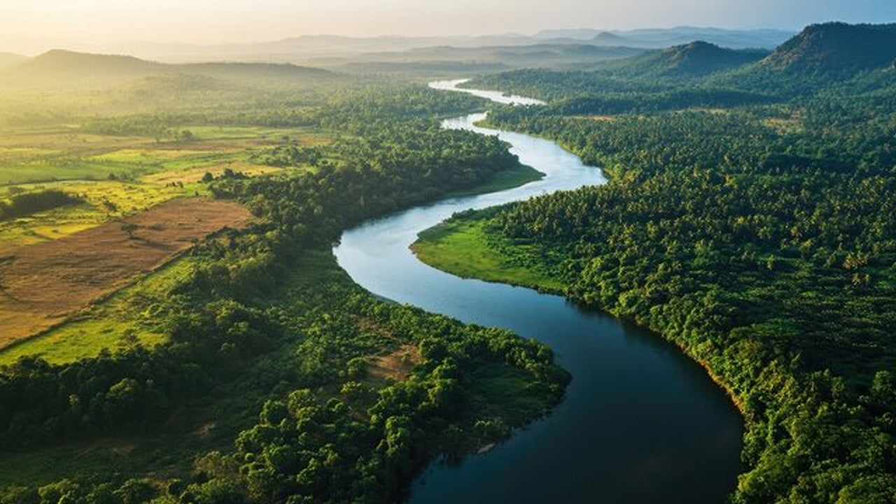 Mahaweli River
Explore the majestic Mahaweli River, Sri Lanka’s longest river, offering serene boat rides and opportunities for birdwatching and nature adventures along its winding course through scenic valleys.
-
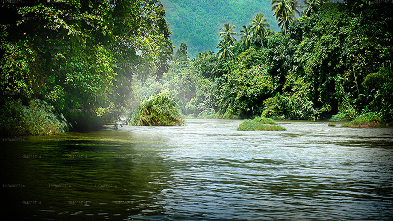 Kelani River
The Kelani River is a 145-kilometre-long (90 mi) river in Sri Lanka. It flows through or borders the Sri Lankan districts of Nuwara Eliya, Ratnapura, Kegalle, Gampaha and Colombo.
-
 Kalu Ganga
Kalu Ganga is a river in Sri Lanka. Measuring 129 km (80 mi) in length. The mountainous forests in the Province and the Sinharaja Forest Reserve are the main sources of water for the river.
-
 Walawe River
The southern region of Sri Lanka is exalted by a bushel of enthralling and glorified rivers and the Walawe River is one of them. Gently flowing through the Udawalawe National Park, the Walawe River provides water for a multitude of species of mesmerising fauna.
-
 Deduru Oya
The Deduru Oya Dam is an embankment dam built across the Deduru River in Kurunegala District of Sri Lanka. Built in 2014, the primary purpose of the dam is to retain approximately a billion cubic metres of water for irrigation purposes, which would otherwise flow out to sea.
-
 Malwathu Oya
The Malvathu River long river in Sri Lanka, connecting the city of Anuradhapura, which was the capital of the country for over 15 centuries, to the coast of Mannar. It currently ranks as the second longest river in the country, with a great historic significance.
-
 Kala Oya
It was around these ancient tank (water storage reservoir) irrigation systems that the economy and human settlements of early Sri Lankan society were organised into a “hydraulic civilization”.
-
 Gal Oya
Discover Gal Oya, a tranquil sanctuary in Sri Lanka, known for its lush landscapes, rich wildlife, and serene boat safaris, offering a peaceful retreat surrounded by nature and wildlife.
-
 Gin Ganga
The Gin Ganga, is a 115.9 km (72 mi) long river situated in Galle District of Sri Lanka. The river's headwaters are located near Deniyaya, bordering the Sinharaja Forest Reserve.
-
 Kirindi Oya
Experience the serene beauty of Kirindi Oya, a tranquil river in Sri Lanka. Enjoy scenic boat rides, lush landscapes, and opportunities for birdwatching, offering a peaceful escape into nature.
-
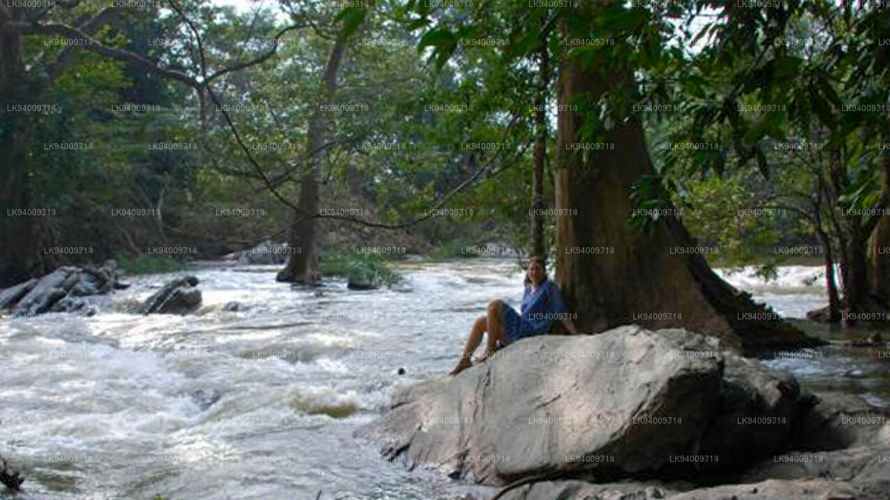 Kumbukkan Oya
The Kumbukkan Oya is the twelfth-longest river of Sri Lanka. It is approximately 116 km (72 mi) long. Its catchment area receives approximately 2,115 million cubic metres of rain per year.
-
 Maduru Oya
The Maduru Oya is a major stream in the North Central Province of Sri Lanka. It is approximately 135 km (84 mi) in length. approximately 3,060 million cubic metres of rain per year
-
 Manik River
Explore the peaceful Manik River, surrounded by lush greenery and rich wildlife. Enjoy scenic boat rides and nature walks, offering a serene and refreshing experience.
-
 Yan Oya
The Yan Oya, 142 km long and receives 2,371 million cubic meters of rainfall annually, with 17% flowing to the sea. Its catchment area covers 1,520 square kilometers.