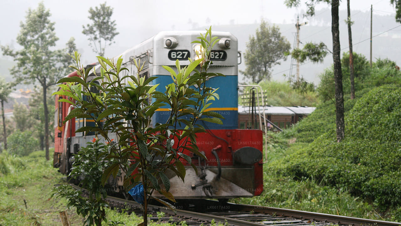
Gampola


Gampola is a town located in Kandy District, Central Province, Sri Lanka, governed by an Urban Council. Gampola was made the capital of the island by King Buwanekabahu IV, who ruled for four years in the mid-fourteenth century. The last king of Gampola was King Buwanekabahu V, who ruled the island for 29 years. A separate city was built in Kotte during this time by a noble known as Alagakkonara. The longest sleeping Buddha statue in South Asia is located in the Saliyalapura Temple, Gampola.
Among the remnants of Gampola era, the most famous temples are Lankathilaka, Gadaladeniya and Embekka Devalaya. The ancient stone scripts (Shila Lekhana) of Lankathilaka temple helps to reveal a considerable amount of vital information regarding the Gampola era. The statue of Buddha of the temple indicates style of South Indian arts. The Ambekka Dewalaya possess a large collection of wood carvings, where no other temple in Sri Lanka owns such a collection.
The town is located amongst Sri Lanka's central highlands, hence the climate stays mild throughout the year. Located 1,087 m (3,566 ft) above mean sea level, Ambuluwawa mountain hosts a hill top tourist spot that houses a biodiversity complex celebrating environmentalism and cultural and religious diversity. A notable feature of this complex is a large winding tower resembling a Buddhist stupa, which is located on the mountain peak. Gampola has a lot of shops and a huge residential area.
The prehistoric studies of Sri Lanka were initiated around in 1885 by surface collections of quartz and chert artefactual implements secured by John Pole (of Scarborough estate of Maskeliya) and by E. Ernest Green. Latter had done some observations at Peradeniya and Nawalapitiya (near to Gampola) could recover some stone fragments which he believed as stone implements used by pre historic Sri Lankans. Contemporarily to these studies, Mr Rober Bruce Foote could establish a considerable account about the Indian pre history who may probably first discovered stone implements from Gampola. He surveyed the Atgalle hill near Gampola and bought some lithics to India with him. Eventually, he sent these remains and Pole's collection to the Madras museum, ventured as 'Neolithic' stone tools of Sri Lanka.
However, some years later Sarasins pronounced those are Nawalapitiya artefacts of Green's are indubitably artefacts and Alchin could also found some remains from Nawalapitiya too. Recently, Siran Deraniyagala has classified Sri Lanka into six major eco zones and our study area allocated into the Zone D 2 or wet zone below 900 m, is defined as a special pre historic zone in the country with its specific features. But the concern on the pre historic Gampola is considerably lacking while comparing to the other regions of Sri Lanka, it can be rich with evidence as well as other areas.