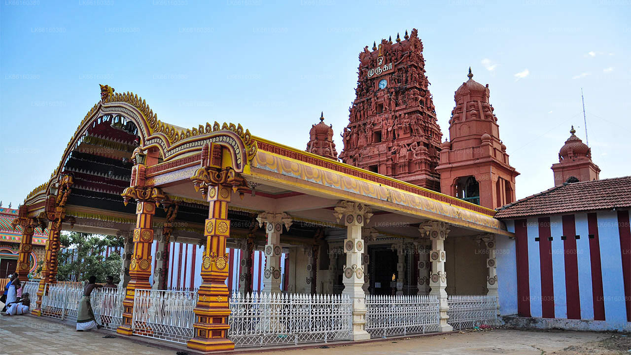
Elephant Pass


Elephant Pass, Northern Province, Sri Lanka is located in the gateway of Jaffna Peninsula. There are about 340km north from capital to here. It has an important military base and used to be the island's largest salt field. It has regularly been the site of battles during the civil war.
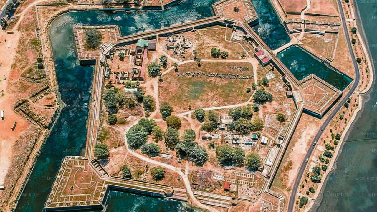
Elephant Pass is beautifully described by the author Kalki Krishnamurthy in his much acclaimed Tamil Novel Ponniyin Selvan. Elephant Pass has been a strategic military base since 1760, when the Portuguese built a fort, which was later rebuilt and garrisoned by the Dutch in 1776 and later by the British. A modern military base was built there in 1952 by the Sri Lankan Army (SLA). At one time, the base and its outlying camps expanded to cover an area 23 kilometres (14 mi) long and 8 kilometres (5.0 mi) wide.
Elephant Pass is a historically and strategically significant isthmus located in the northern province of Sri Lanka, connecting the Jaffna Peninsula with the rest of the island. This narrow strip of land, bordered by the lagoon on one side and the Bay of Bengal on the other, has been a critical point in both ancient and modern times, often serving as a gateway and battleground during various conflicts.
The name 'Elephant Pass' is believed to derive from the times when elephants from the dry zone in the southeast were transported to the Jaffna peninsula through this route. It has also played a pivotal role in many military strategies due to its geographical positioning as the narrowest land-based route to the Jaffna Peninsula, making it a frequent site of conflict during the Sri Lankan Civil War.
Today, Elephant Pass is visited not only for its historical significance but also for its unique natural beauty. The area offers panoramic views of the surrounding lagoon and sea, and its relatively remote location makes it a peaceful spot, away from the more tourist-heavy areas of the country. Visitors can explore the remnants of old fortifications and memorials that stand as somber reminders of the past battles.
The Elephant Pass War Memorial, erected to commemorate the lives lost during the conflicts, is a significant landmark. It provides visitors with insights into the region's tumultuous history and serves as a place for reflection and remembrance.
For those interested in wildlife and natural scenery, the nearby landscapes and water bodies provide habitats for a variety of bird species, making it a promising destination for bird watching. The area's stark, serene beauty, combined with its deep historical roots, offers a unique and enriching experience for travelers looking to understand more about Sri Lanka's complex history and diverse ecosystems.
Elephant Pass controls access to the Jaffna Peninsula, therefore it is referred to as the Gateway to Jaffna. It is very crucial as it is on the isthmus connecting the peninsula to the Sri Lankan mainland, and to territory in the Southern Jaffna peninsula. Elephant Pass connects the militarily significant town of Chavakacheri in the Jaffna peninsula to the Sri Lankan mainland.