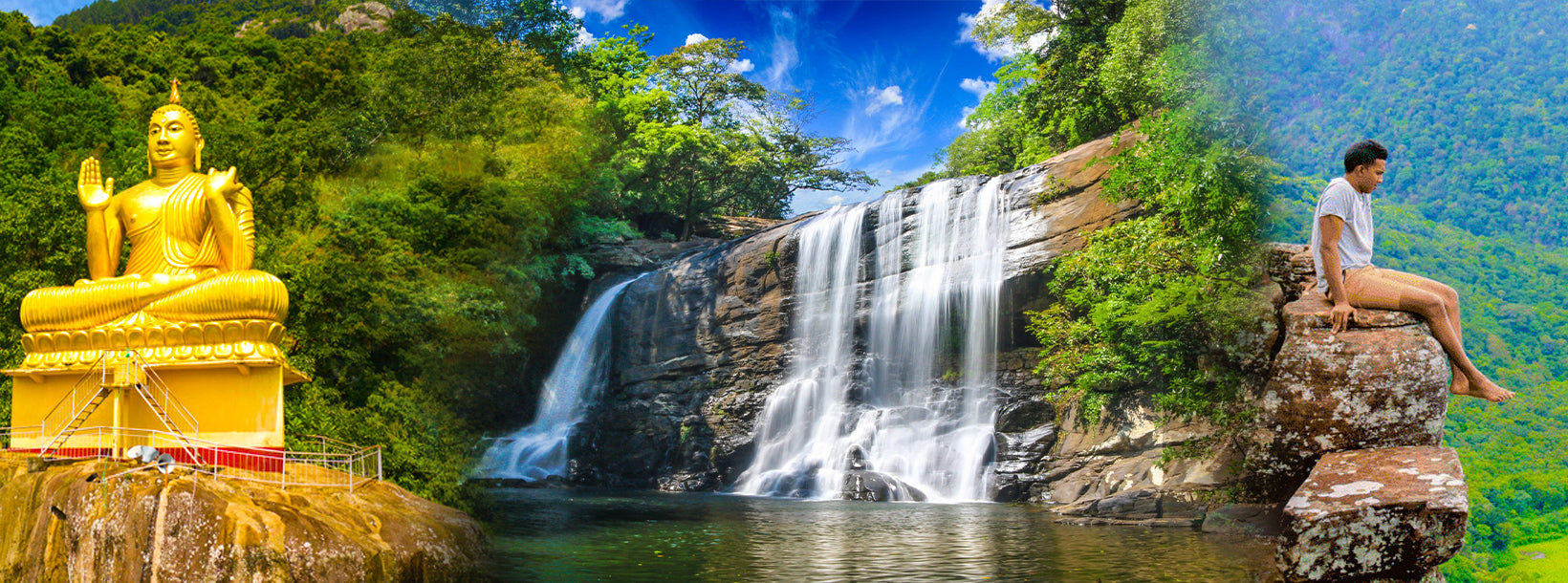
Bambarakiri Ella Falls


This magnificent waterfall is situated close to Rattota town in Matale District. Take Matale – Ilukumbura road to the Bamarakiri Falls bend, which is 1km past Rattota town, where the fall is to be found. The Bambarakiri Falls is 18km from Matale town. The Bambarakiri Falls is located approximately 40km away from our Amaya Hunas Falls, one of the most popular honeymoon hotels in Sri Lanka.
The fall is set amidst the mesmerizing greenery of the Knuckles mountain range. Bambarakiri Ella is a fall of 10m. The fall can be viewed in three parts. Different varieties of butterflies and birds come to the area of the falls mostly in clear mornings making the view even more charming.
A very old-fashioned suspension bridge extends over the falls adding an enchanting touch to the already beautiful scene.
Gallons of water come crashing down to earth at a high speed. The rock pool at the base of the waterfall is safe for a dip during the dry summer, but can be very dangerous during heavy rainy season.
For those who yearn for more adventure, there is a steep slippery climb of 5km, to reach the top of the waterfall. But one should bear in mind that a slight mistake will result in grave injury.
Although the climb is not easy and should be done with care, the views of the landscape from the top are breathtaking. In addition, there is a wonderful bonus for those that make the effort of the climb – a cool and crystal clear natural rock pool perfect for bathing.
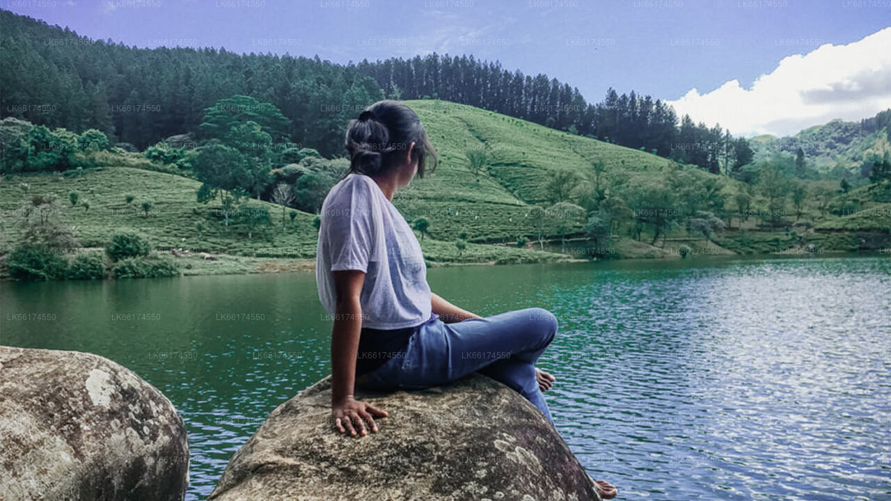
This tranquil and peaceful place is indeed a hidden gem in Matale. Visitors who come to the areas in Matale for holidays are strongly recommended to visit this beautiful place.
How To Reach Bambarakiri Ella
Bambarakiri Falls are located approximately 200 m away from a bend of the Matale-Pallegala-Hasalaka mountain road and almost 5 Kms uphill from Rattota town. From the Matale city, the distance is nearly 16 Kms.
One can also book private cabs to Matale or Kandy and finally towards the Rattota town and then a nature trail towards the fall.
Public transport towards Matale and Kandy is also available.